Banker's Dub
Lake, Pool, Pond, Freshwater Marsh in Westmorland Eden
England
Banker's Dub
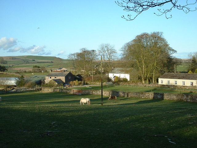
Banker's Dub is a picturesque freshwater marsh located in Westmorland, a county in the northwest region of England. This tranquil oasis is nestled amidst the verdant rolling hills and breathtaking landscapes of the Lake District National Park. Covering an area of approximately 10 acres, the dub (a local term for a small body of water) is a haven for wildlife enthusiasts, nature lovers, and bird watchers.
The main attraction of Banker's Dub is its stunning lake, which is surrounded by lush vegetation and reed beds. The pristine waters provide a habitat for a wide array of aquatic plants and animals, including various species of fish, frogs, and waterfowl. Bird watchers can spot a diverse range of avian species, such as herons, swans, ducks, and geese, which are drawn to the plentiful food sources and peaceful surroundings.
The dub also features a small pool and a serene pond, which add to the charm of the area. These smaller bodies of water are ideal for observing smaller creatures like dragonflies, water beetles, and newts. The surrounding freshwater marsh further enhances the biodiversity of the site, providing a habitat for numerous wetland plants and insects.
Visitors to Banker's Dub can enjoy leisurely walks along well-maintained footpaths that encircle the water bodies. The tranquil atmosphere and stunning natural beauty make it an ideal spot for picnics, photography, and simply unwinding in nature's embrace.
Overall, Banker's Dub is a hidden gem in Westmorland, offering a peaceful retreat where visitors can immerse themselves in the beauty of a freshwater marsh and enjoy the wonders of the local wildlife.
If you have any feedback on the listing, please let us know in the comments section below.
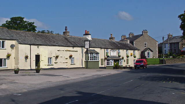
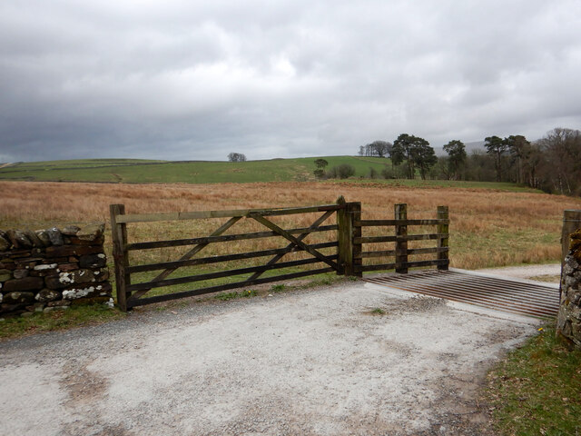
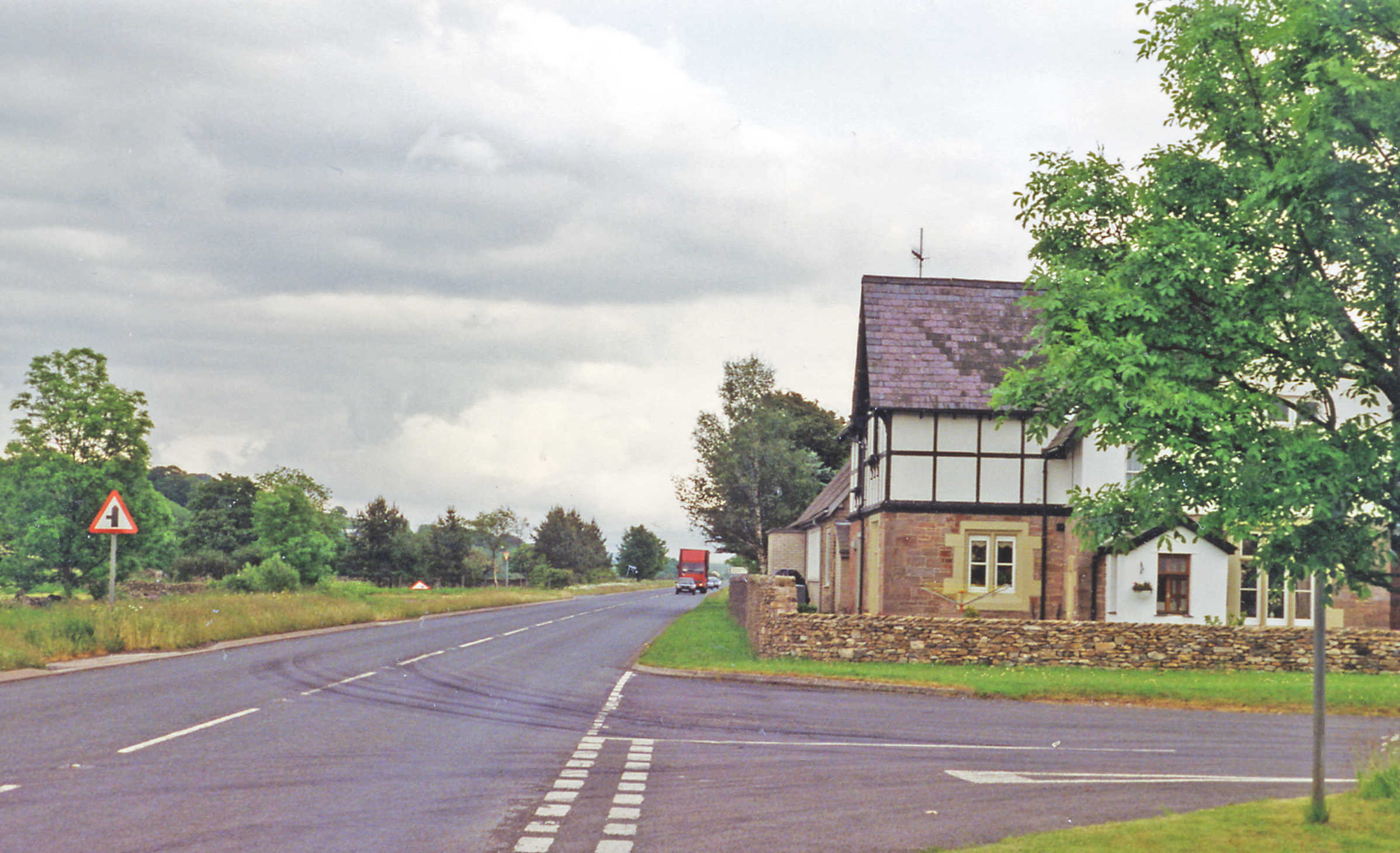
Banker's Dub Images
Images are sourced within 2km of 54.443608/-2.5689678 or Grid Reference NY6305. Thanks to Geograph Open Source API. All images are credited.


Banker's Dub is located at Grid Ref: NY6305 (Lat: 54.443608, Lng: -2.5689678)
Administrative County: Cumbria
District: Eden
Police Authority: Cumbria
What 3 Words
///plant.clogging.meanders. Near Shap, Cumbria
Nearby Locations
Related Wikis

A685 road
The A685 is a road in Cumbria, England, that runs 28 miles (45 km) from Kendal to Brough. == Route == The A685 begins in Kendal town centre off the A6...
Gaisgill railway station
Gaisgill railway station was situated on the South Durham & Lancashire Union Railway between Tebay and Kirkby Stephen East. It served the village of Gaisgill...

Tebay
Tebay is a village and civil parish in Cumbria, England, within the historic borders of Westmorland. It lies in the upper Lune Valley, at the head of the...

Birk Beck
Birk Beck is a minor river in Cumbria.Rising on the fells near Shap, Birk Beck runs south-by-south east, picking up Wasdale Beck (running east and draining...
Raisbeck
Raisbeck is a hamlet in the civil parish of Orton, in the Westmorland and Furness district of Cumbria, England. The surname Raisbeck originates from the...

Tebay Services
Tebay Services are motorway service stations on the M6 motorway in the Westmorland and Furness district of Cumbria, England. The northbound opened in 1972...

Tebay railway station
Tebay railway station was situated on the Lancaster and Carlisle Railway (L&CR) (part of the West Coast Main Line) between Lancaster and Penrith. It served...
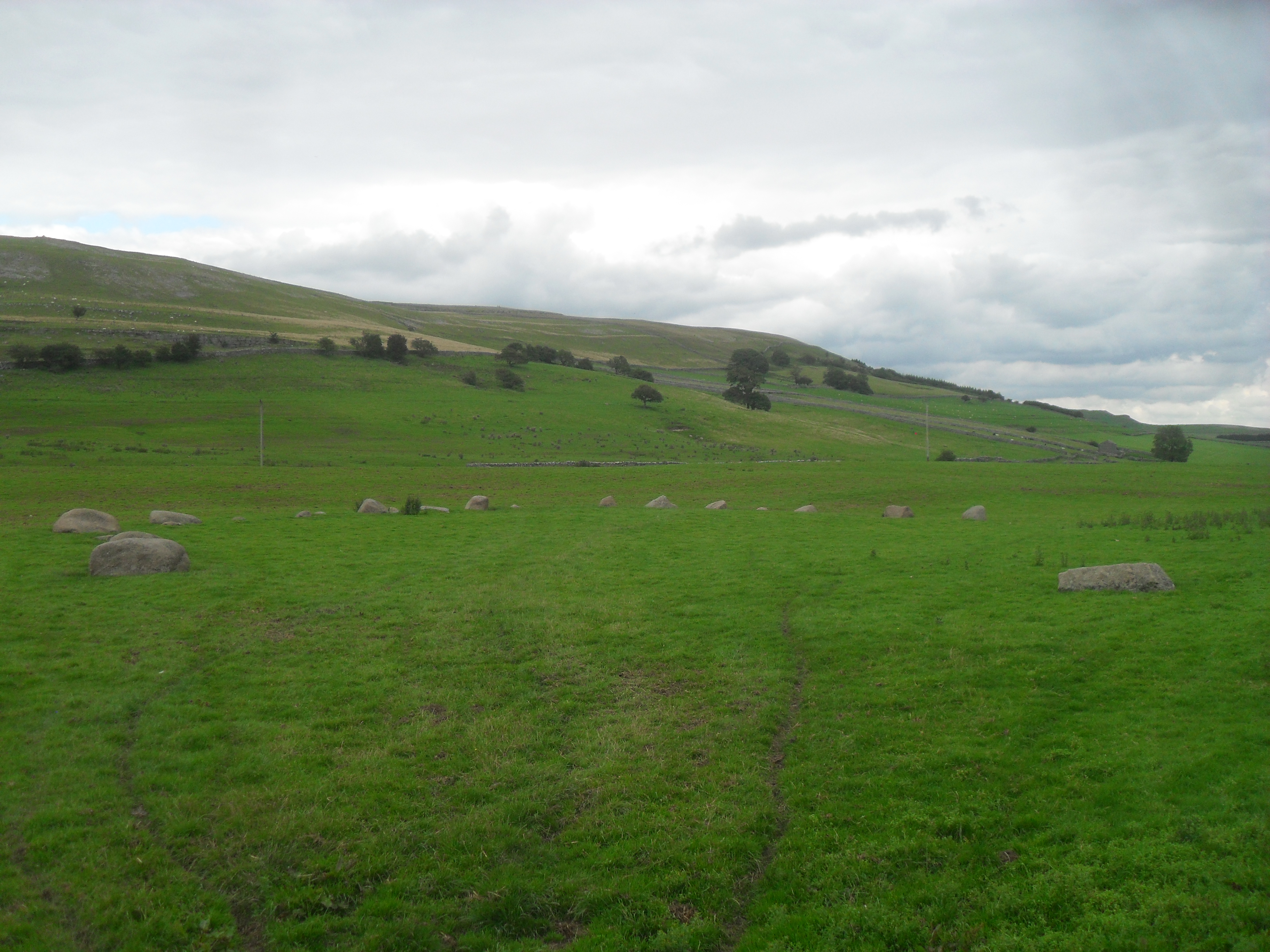
Gamelands stone circle
Gamelands stone circle (or Orton stone circle) is a stone circle at the foot of Knott Hill in Cumbria, England. The stones are mostly made of red granite...
Nearby Amenities
Located within 500m of 54.443608,-2.5689678Have you been to Banker's Dub?
Leave your review of Banker's Dub below (or comments, questions and feedback).