Clock Pool
Lake, Pool, Pond, Freshwater Marsh in Roxburghshire
Scotland
Clock Pool
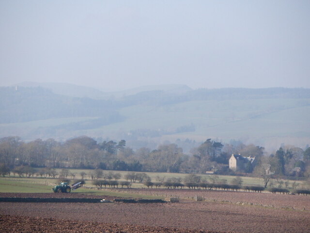
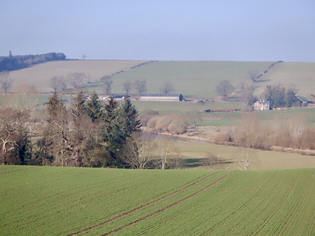
Clock Pool is a picturesque freshwater marsh located in Roxburghshire, a historic county in the Scottish Borders region of Scotland. Spanning an area of approximately 10 acres, Clock Pool is renowned for its serene beauty and diverse ecosystem.
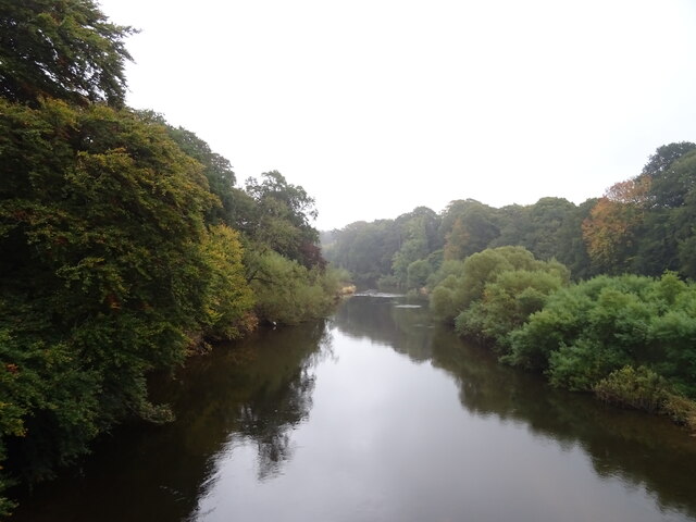
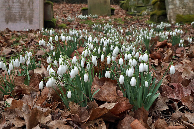
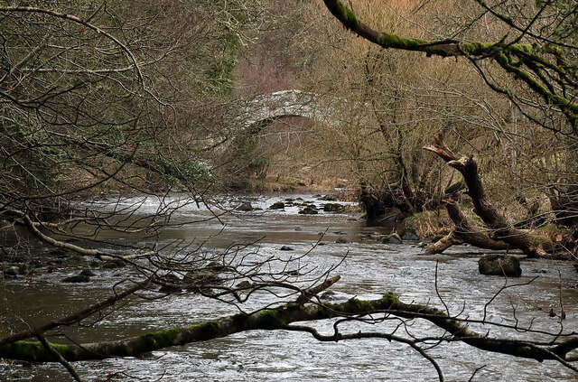
The pool itself is a small, natural body of water that serves as a habitat for a variety of aquatic species. Surrounded by lush vegetation, including reeds and water lilies, the pool provides a tranquil setting for both wildlife and visitors alike.
One of the notable features of Clock Pool is its diverse bird population. The area attracts a wide range of bird species, including ducks, geese, herons, and swans. Birdwatchers can often spot these magnificent creatures gracefully gliding across the water or nesting in the surrounding vegetation.
Clock Pool is also home to a vibrant community of fish, such as trout and perch, making it a popular spot for angling enthusiasts. The pool's calm and clear waters provide an ideal environment for fishing, attracting both locals and tourists looking to enjoy a peaceful day by the water.
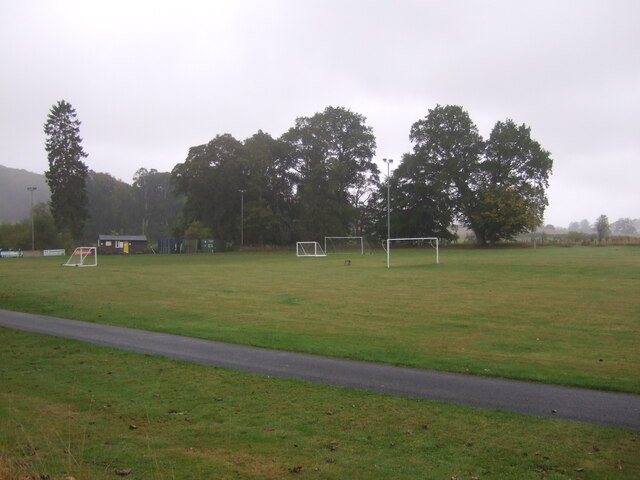
In addition to its natural beauty, Clock Pool offers several amenities for visitors. There are walking trails that meander through the surrounding marshland, allowing visitors to explore the diverse plant and animal life. Picnic areas are also available, providing a perfect spot to relax and enjoy the scenic views.
Overall, Clock Pool in Roxburghshire is a haven of natural beauty and biodiversity. Whether it's birdwatching, fishing, or simply immersing oneself in nature, Clock Pool offers a peaceful and captivating experience for all who visit.
If you have any feedback on the listing, please let us know in the comments section below.
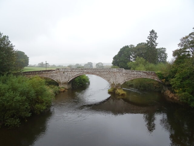
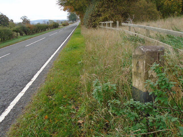
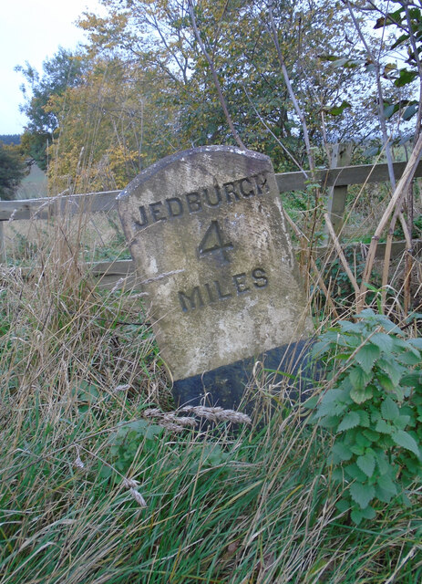
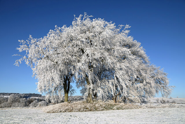
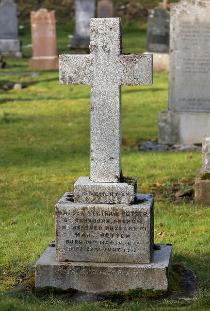
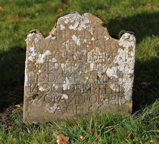
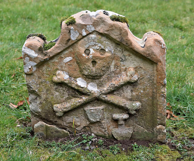
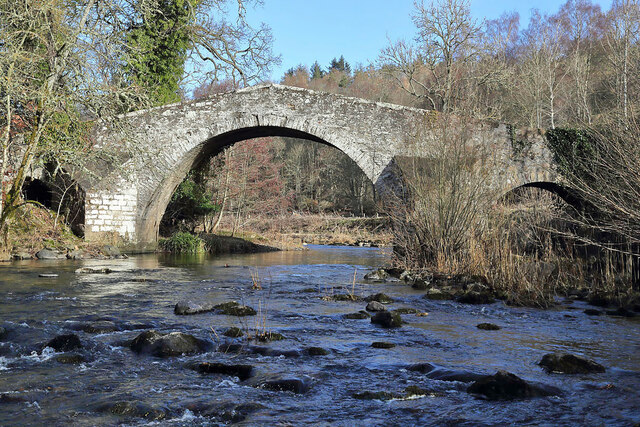
Clock Pool Images
Images are sourced within 2km of 55.502675/-2.6028907 or Grid Reference NT6223. Thanks to Geograph Open Source API. All images are credited.
Clock Pool is located at Grid Ref: NT6223 (Lat: 55.502675, Lng: -2.6028907)
Unitary Authority: The Scottish Borders
Police Authority: The Lothians and Scottish Borders
What 3 Words
///universal.owns.preoccupied. Near Jedburgh, Scottish Borders
Nearby Locations
Related Wikis

Ale Water
The Ale Water is a tributary of the River Teviot, in the Scottish Borders area of Scotland. It rises at Henwoodie Hill and flows through Alemoor Loch....

Ancrum
Ancrum (Scottish Gaelic: Alan Crom) is a village in the Borders area of Scotland, 5 km (3.1 mi) northwest of Jedburgh.The village — which currently has...
Chesters (estate)
Chesters is a 1,565-acre (633 ha) country estate near Ancrum, located on the banks of the River Teviot in the Scottish Borders area of Scotland. The estate...
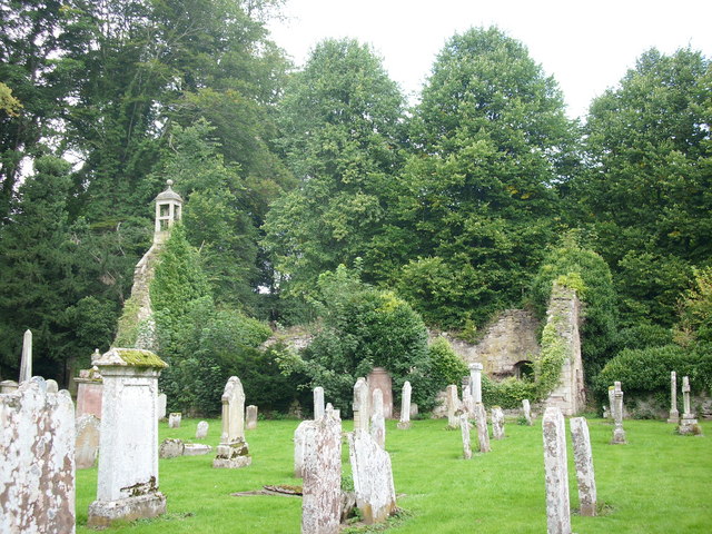
Ancrum Old Parish Church
Ancrum Old Parish Church is situated just over half a mile north west of the village of Ancrum in the Scottish Borders area of Scotland, on the B4600 road...

Timpendean Tower
Timpendean Tower (tim-pen-deen) or Typenden Castle as it was once known, is a ruined 15th-century tower house near Lanton, around 1.5 miles (2.4 km) north...

Lanton Tower
Lanton Tower is a 16th-century tower house, about 2.0 miles (3.2 km) northwest of Jedburgh, Scottish Borders, Scotland, at Lanton. == History == In 1513...

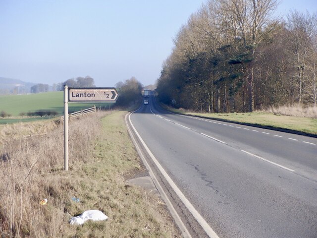
Lanton, Scottish Borders
Lanton is a village in the Scottish Borders area of Scotland, near Jedburgh and Timpendean Tower, off the A698. == See also == List of places in the Scottish...

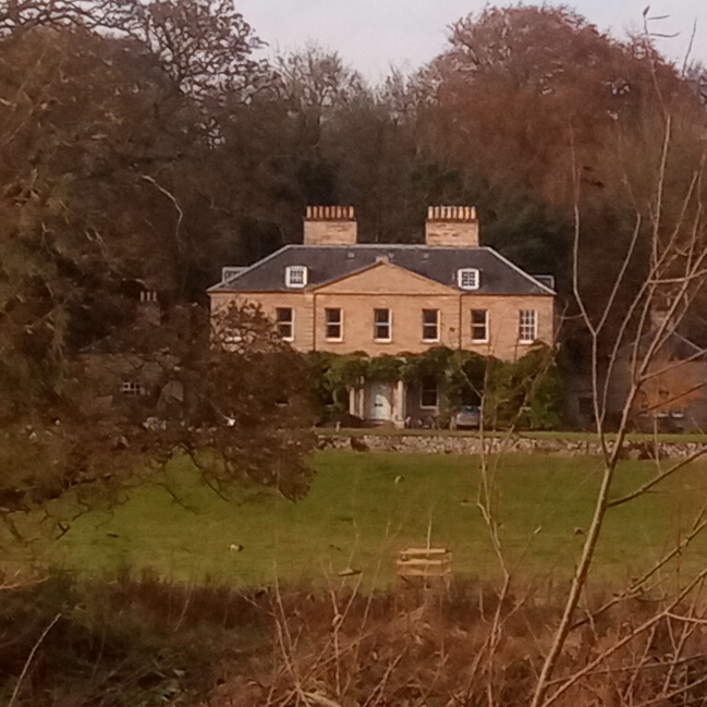
Monteviot House
Monteviot House is the early 18th century home of the Marquess of Lothian, the politician better known as Michael Ancram. It is located on the River Teviot...
Nearby Amenities
Located within 500m of 55.502675,-2.6028907Have you been to Clock Pool?
Leave your review of Clock Pool below (or comments, questions and feedback).