Boat Pool
Lake, Pool, Pond, Freshwater Marsh in Roxburghshire
Scotland
Boat Pool
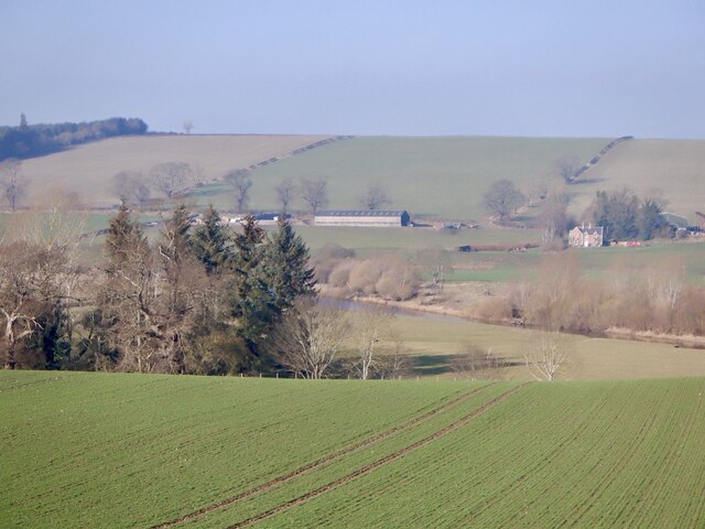
Boat Pool is a picturesque freshwater marsh located in Roxburghshire, Scotland. Spanning an area of approximately [insert size], it is a popular destination for nature enthusiasts and birdwatchers alike.
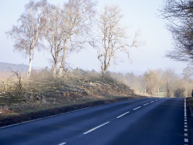
This body of water is surrounded by lush greenery, creating a serene and tranquil atmosphere for visitors. The pool is fed by several small streams and springs, ensuring a constant flow of freshwater throughout the year. The water is crystal clear, allowing for excellent visibility of the diverse aquatic life that resides within it.
Boat Pool is particularly renowned for its rich bird population. Over [insert number] species of birds have been spotted here, including migratory birds that make a stopover during their long journeys. Ornithologists and birdwatchers flock to the marsh to observe and study these avian visitors. Common sightings include ducks, swans, grebes, and herons, among others.
Surrounding the pool is a variety of vegetation, including reeds, rushes, and water lilies. These provide a habitat for numerous species of amphibians, insects, and small mammals. The marsh also supports a diverse range of plant life, such as water forget-me-nots, water crowfoot, and various species of aquatic grasses.
Boat Pool offers excellent opportunities for recreational activities such as fishing and boating. Anglers can try their luck at catching trout, pike, and perch, among other species. Boaters can explore the pool's calm waters, taking in the scenic beauty and observing the abundant wildlife.
Overall, Boat Pool in Roxburghshire is a haven for nature enthusiasts, providing a unique and captivating ecosystem that showcases the beauty and biodiversity of freshwater marshes.
If you have any feedback on the listing, please let us know in the comments section below.
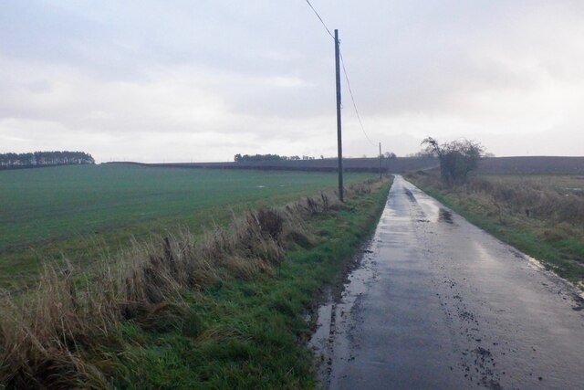
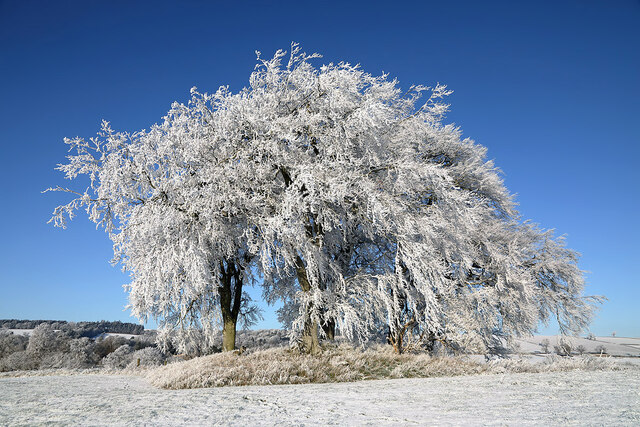
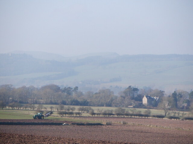
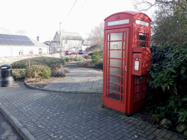
Boat Pool Images
Images are sourced within 2km of 55.492923/-2.6248364 or Grid Reference NT6022. Thanks to Geograph Open Source API. All images are credited.


Boat Pool is located at Grid Ref: NT6022 (Lat: 55.492923, Lng: -2.6248364)
Unitary Authority: The Scottish Borders
Police Authority: The Lothians and Scottish Borders
What 3 Words
///exotic.froth.yours. Near Jedburgh, Scottish Borders
Nearby Locations
Related Wikis
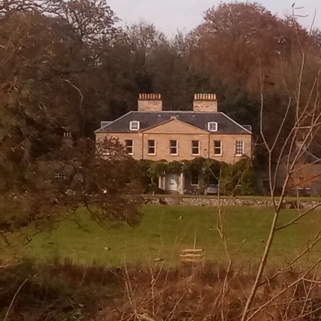
Chesters (estate)
Chesters is a 1,565-acre (633 ha) country estate near Ancrum, located on the banks of the River Teviot in the Scottish Borders area of Scotland. The estate...

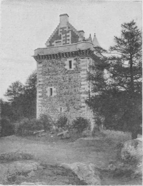
Lanton Tower
Lanton Tower is a 16th-century tower house, about 2.0 miles (3.2 km) northwest of Jedburgh, Scottish Borders, Scotland, at Lanton. == History == In 1513...

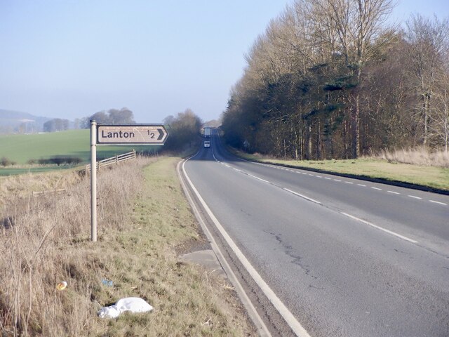
Lanton, Scottish Borders
Lanton is a village in the Scottish Borders area of Scotland, near Jedburgh and Timpendean Tower, off the A698. == See also == List of places in the Scottish...
Rule Water
The Rule Water is a river in the Scottish Borders area of Scotland, and a tributary of the River Teviot. The Rule Water rises in Wauchope Forest and passes...

Barnhills Tower
Barnhills Tower was a 16th century tower house about 4.5 miles (7.2 km) west of Jedburgh in the Scottish Borders, Scotland, north of the River Teviot...

Ale Water
The Ale Water is a tributary of the River Teviot, in the Scottish Borders area of Scotland. It rises at Henwoodie Hill and flows through Alemoor Loch....
Fatlips Castle
Fatlips Castle is a peel tower in Roxburghshire, in the Scottish Borders. Situated at the top of Minto Crags, above the River Teviot, it was built in the...

Timpendean Tower
Timpendean Tower (tim-pen-deen) or Typenden Castle as it was once known, is a ruined 15th-century tower house near Lanton, around 1.5 miles (2.4 km) north...
Nearby Amenities
Located within 500m of 55.492923,-2.6248364Have you been to Boat Pool?
Leave your review of Boat Pool below (or comments, questions and feedback).