Birch Haugh Pool
Lake, Pool, Pond, Freshwater Marsh in Roxburghshire
Scotland
Birch Haugh Pool
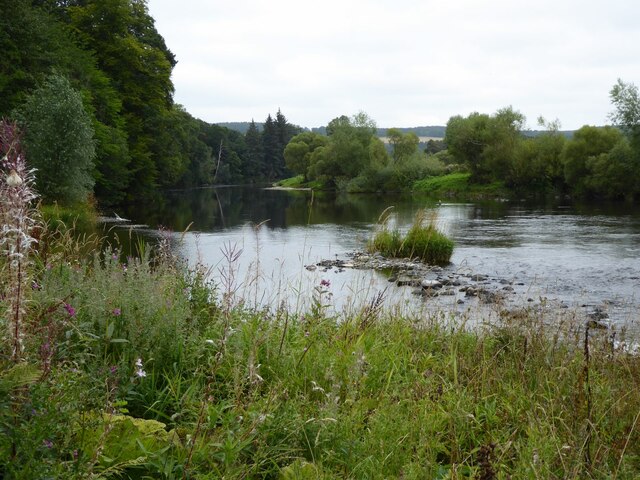
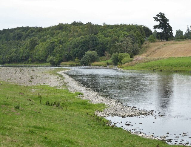
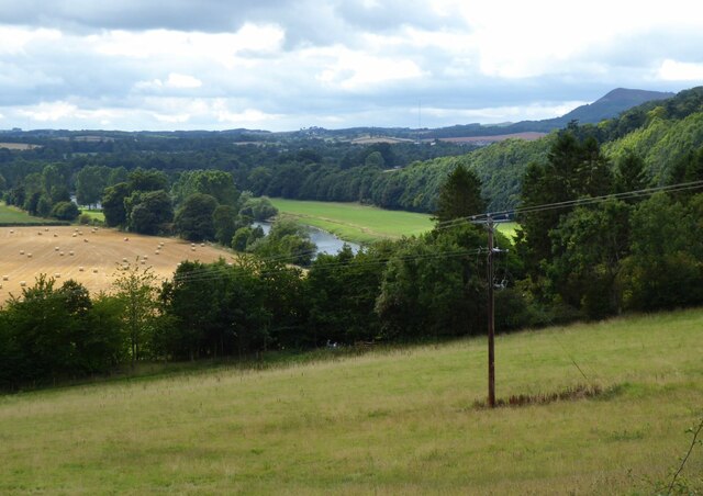
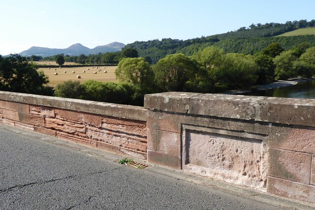
Birch Haugh Pool, located in Roxburghshire, is a picturesque freshwater marsh encompassing an area of approximately 2 hectares. Nestled amidst the scenic Scottish Borders, this serene and tranquil pool is a haven for nature enthusiasts and birdwatchers alike.
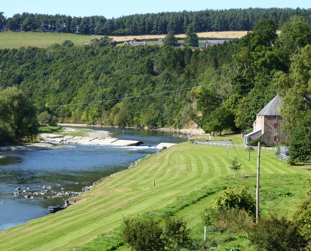
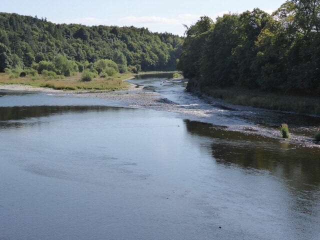
The pool is surrounded by a dense birch woodland, which not only lends its name to the site but also provides a stunning backdrop to the area. The pool itself is a shallow body of water, with an average depth of around one meter. It is fed by natural springs and small streams that trickle down from the surrounding hills.
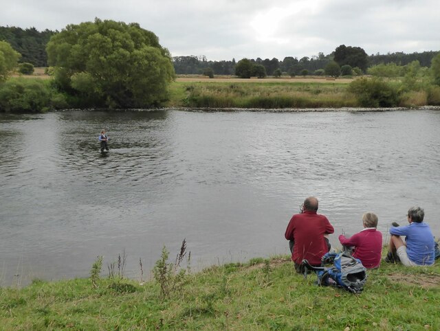
The marshy nature of Birch Haugh Pool makes it an ideal habitat for a diverse range of plant and animal species. The shallow water supports the growth of various aquatic plants, such as water lilies, reeds, and rushes, which provide shelter and food for a multitude of creatures.
The pool is particularly renowned for its avian population. Over 50 different bird species have been spotted here, including rare and migratory birds. Birdwatchers can expect to see a plethora of waterfowl, such as swans, ducks, and geese, as well as wading birds like herons and lapwings. The surrounding woodland also attracts woodland birds, making Birch Haugh Pool a birdwatcher's paradise.
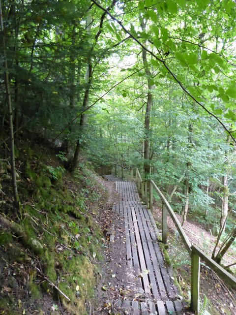
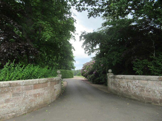
Access to Birch Haugh Pool is relatively easy, with a well-maintained footpath leading visitors to the water's edge. The site is popular among walkers, who can enjoy the tranquil surroundings and the opportunity to spot a variety of wildlife.
If you have any feedback on the listing, please let us know in the comments section below.
Birch Haugh Pool Images
Images are sourced within 2km of 55.578955/-2.6397168 or Grid Reference NT5931. Thanks to Geograph Open Source API. All images are credited.
Birch Haugh Pool is located at Grid Ref: NT5931 (Lat: 55.578955, Lng: -2.6397168)
Unitary Authority: The Scottish Borders
Police Authority: The Lothians and Scottish Borders
What 3 Words
///punchy.washroom.spaceship. Near Saint Boswells, Scottish Borders
Nearby Locations
Related Wikis

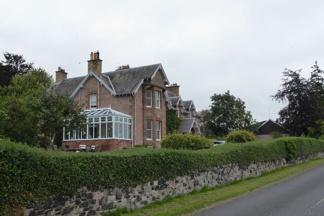
Dryburgh Abbey Hotel
Dryburgh Abbey Hotel is a baronial country house, located on the banks of the River Tweed, in Dryburgh about 5 km south east of Melrose in the Scottish...

Fat Lips
Fat Lips (or Fatlips) is the name given to a legendary spirit dwelling in Dryburgh Abbey in Berwickshire, Scotland. The spirit was associated with a hermit...

Dryburgh Abbey
Dryburgh Abbey, near Dryburgh on the banks of the River Tweed in the Scottish Borders, was nominally founded on 10 November (Martinmas) 1150 in an agreement...

Dryburgh
Dryburgh is a village in the Borders region of Scotland, within the county of Berwickshire. It is most famous for the ruined Dryburgh Abbey. Dryburgh Abbey...

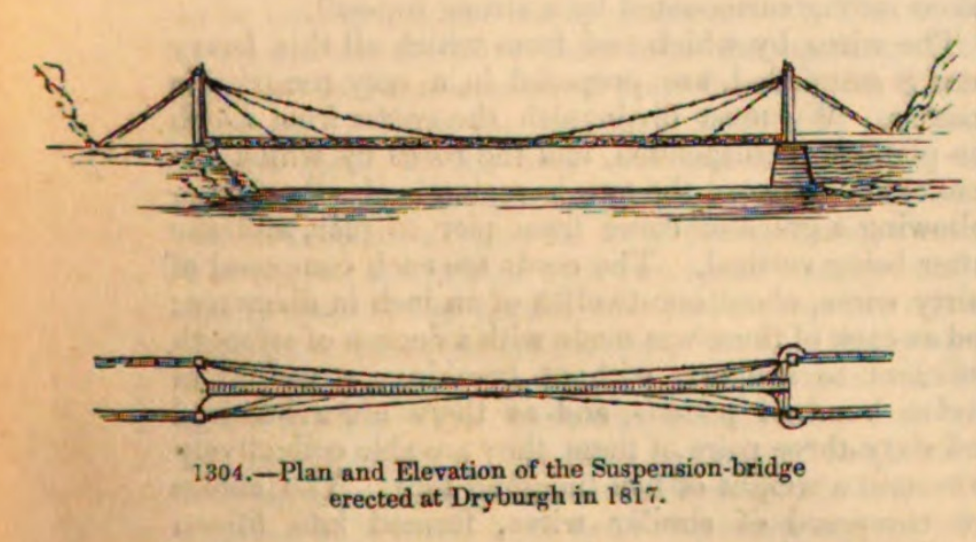
Dryburgh Suspension Bridge
Dryburgh Suspension Bridge is a suspension bridge erected near Dryburgh Abbey, Scottish Borders. == History == The footbridge across the River Tweed...
Dryburgh Abbey Bridge
Dryburgh Abbey Bridge was a cable-stayed footbridge of significant historical interest erected near Dryburgh Abbey, in the Borders of Scotland. It connected...

St Boswells
St Boswells (Scots: Bosels / Bosells; Scottish Gaelic: Cille Bhoisil [ˈçiʎəˈvɔʃɪl]) is a village on the south side of the River Tweed in the Scottish Borders...

Statue of William Wallace, Bemersyde
The William Wallace Statue near the grounds of the Bemersyde estate, near Melrose in the Scottish Borders is a statue commemorating William Wallace. It...
Nearby Amenities
Located within 500m of 55.578955,-2.6397168Have you been to Birch Haugh Pool?
Leave your review of Birch Haugh Pool below (or comments, questions and feedback).