Adlington Reservoir

Lake, Pool, Pond, Freshwater Marsh in Lancashire Chorley

England

Adlington Reservoir

Kilhey Court Hotel This is the view from the car park towards the main building in a shower of rain.
Kilhey Court Hotel Credit: Malcolm Neal

Adlington Reservoir, located in Lancashire, England, is a man-made freshwater lake that serves multiple purposes for the local community. Covering an area of approximately 50 acres, the reservoir was created in the mid-19th century to supply water for the nearby town of Adlington.

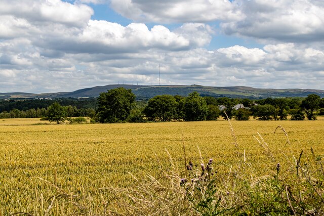
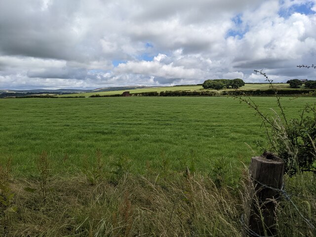
Surrounded by picturesque countryside, the reservoir is a popular spot for outdoor activities and leisure pursuits. Its tranquil waters attract anglers from far and wide, as it is well-stocked with various species of fish, including carp, pike, and roach. Anglers can be seen casting their lines from the banks or from small boats, enjoying the peaceful ambiance of the surroundings.

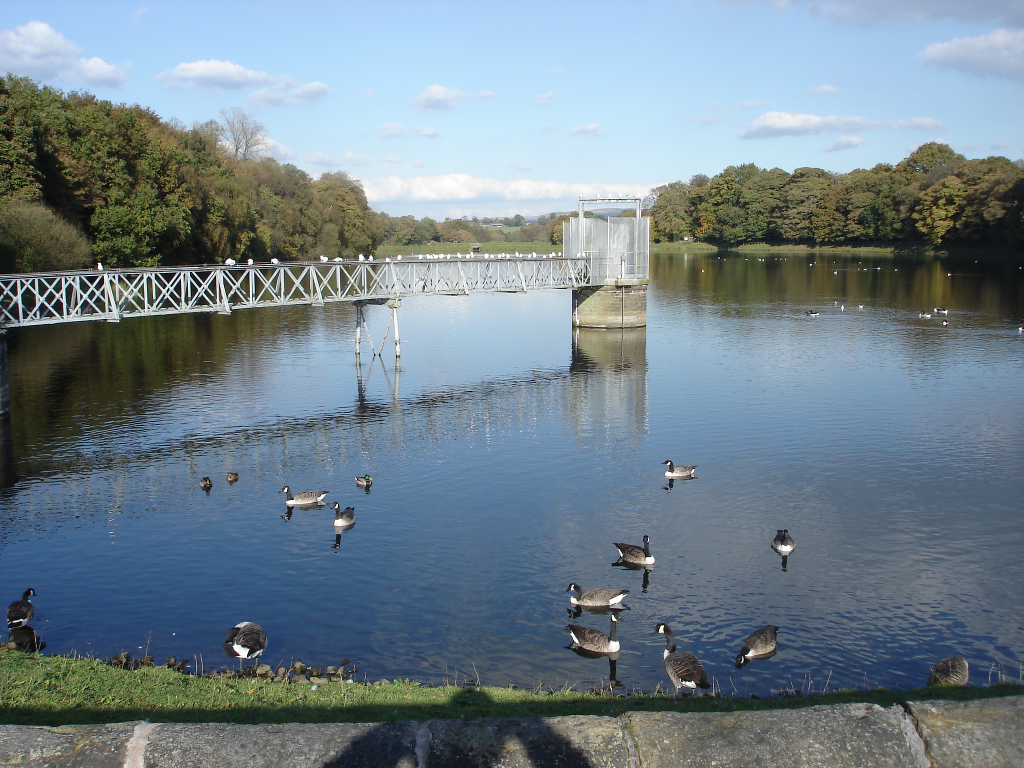
The reservoir also provides a habitat for a diverse range of wildlife. Its shores are lined with reeds and aquatic plants, creating a haven for waterfowl, such as ducks, swans, and herons. Birdwatchers often visit Adlington Reservoir to observe these species, as well as other migratory birds that pass through the area.

For those seeking a more active experience, the reservoir offers opportunities for water-based activities. Sailing and windsurfing are popular during the summer months, with enthusiasts taking advantage of the open expanse of water. The calm conditions and gentle breezes make it an ideal spot for beginners to learn and practice these sports.

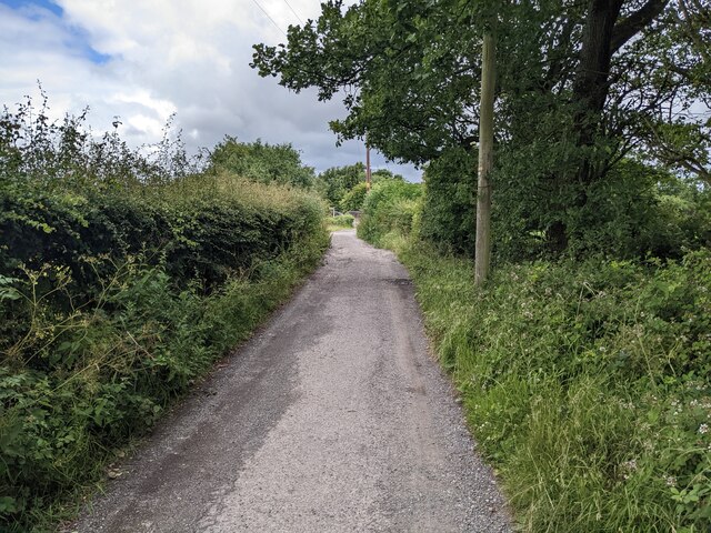
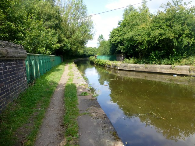
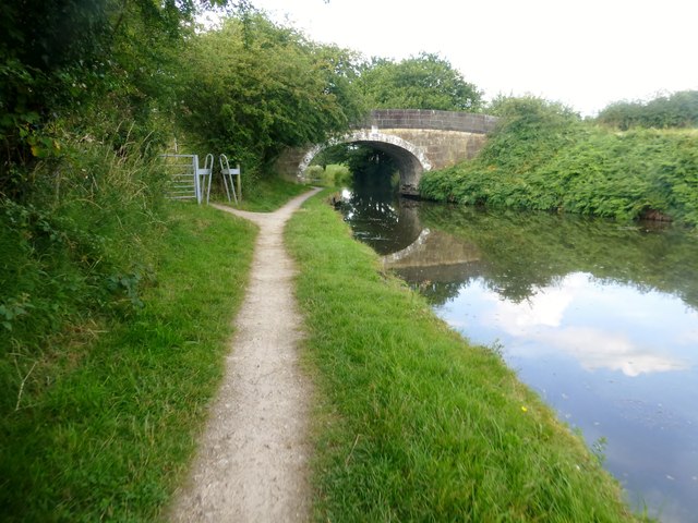
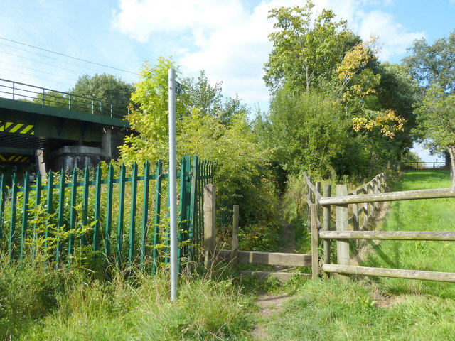
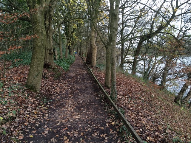
The reservoir is surrounded by walking trails, making it a favorite destination for hikers and dog walkers. The paths meander through woodlands and fields, offering scenic views of the reservoir and the surrounding countryside. In addition, there are picnic areas and benches along the shores, providing a relaxing spot for visitors to enjoy a meal or simply take in the beauty of their surroundings.

Overall, Adlington Reservoir is a valuable resource for the local community, offering a range of recreational activities and serving as a haven for wildlife. Its natural beauty and peaceful atmosphere make it a cherished destination for nature lovers and outdoor enthusiasts alike.

If you have any feedback on the listing, please let us know in the comments section below.

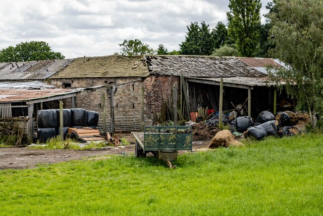
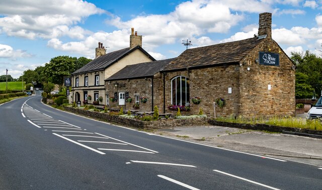
Adlington Reservoir Images

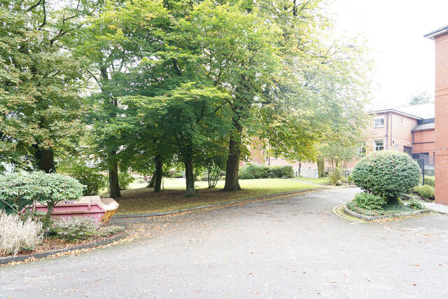
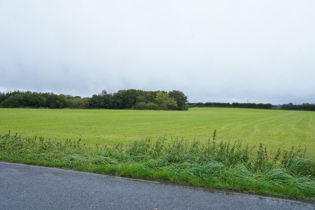
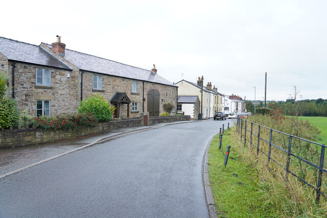
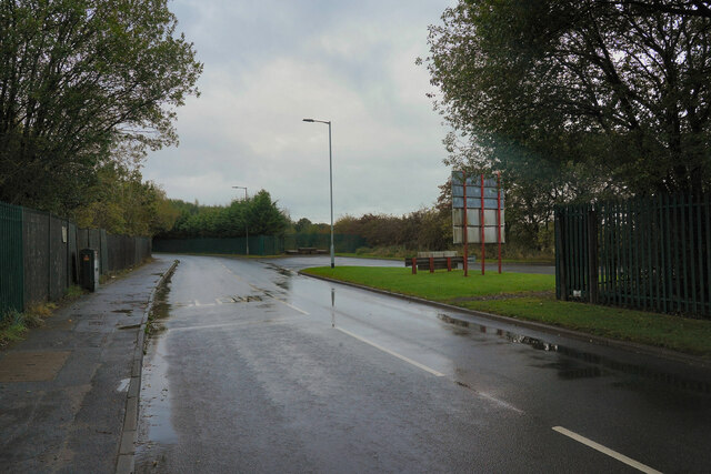
Images are sourced within 2km of 53.595675/-2.6282798 or Grid Reference SD5811. Thanks to Geograph Open Source API. All images are credited.

Kilhey Court Hotel This is the view from the car park towards the main building in a shower of rain.
Kilhey Court Hotel
This is the view from the car park towards the main building in a shower of rain.
A green field in the rain This might be grass in the field or an Autumn planted crop of some sort of cereal.
A green field in the rain
This might be grass in the field or an Autumn planted crop of some sort of cereal.
Cottages in the country An interesting row of cottages with one very large door which might have been a coach entrance.
Cottages in the country
An interesting row of cottages with one very large door which might have been a coach entrance.
Bradley Lane We have just passed the industrial estate and are about to enter the village of Standish.
Bradley Lane
We have just passed the industrial estate and are about to enter the village of Standish.
Worthington Hall Farm buildings at Worthington Hall.
Worthington Hall
Farm buildings at Worthington Hall.
Disused Tip Reclamation work on a disused tip at Standish.
Disused Tip
Reclamation work on a disused tip at Standish.
Standish Leisure Centre
White Crow Hotel
White Crow Hotel
Coppull Brow Farm
Coppull Brow Farm
Old Milepost by the A5106, Chorley Road, Standish parish Cast iron post by the A5106, in parish of STANDISH (WIGAN District), Chorley Road; Worthington; opposite junction with Devon Drive, on grassed area, on East side of road. Wigan fan iron casting, erected by the Wigan & Preston (south of Yarrow) turnpike trust in the 19th century. An earlier photograph can be found here <a title="https://www.geograph.org.uk/photo/6049856" href="https://www.geograph.org.uk/photo/6049856">Link</a>.

Inscription reads:-
LANGTREE.
3 MILES TO WIGAN.
5¼ MILES TO CHORLEY.
1837
Maker:-
HAIGH FOUNDRY

Grade II listed. 
List Entry Number: 1228467 <span class="nowrap"><a title="https://historicengland.org.uk/listing/the-list/list-entry/1228467" rel="nofollow ugc noopener" href="https://historicengland.org.uk/listing/the-list/list-entry/1228467">Link</a><img style="margin-left:2px;" alt="External link" title="External link - shift click to open in new window" src="https://s1.geograph.org.uk/img/external.png" width="10" height="10"/></span>

Milestone Society National ID: LA_WGCY03.
Old Milepost by the A5106, Chorley Road, Standish parish
Cast iron post by the A5106, in parish of STANDISH (WIGAN District), Chorley Road; Worthington; opposite junction with Devon Drive, on grassed area, on East side of road. Wigan fan iron casting, erected by the Wigan & Preston (south of Yarrow) turnpike trust in the 19th century. An earlier photograph can be found here Link. Inscription reads:- LANGTREE. 3 MILES TO WIGAN. 5¼ MILES TO CHORLEY. 1837 Maker:- HAIGH FOUNDRY Grade II listed. List Entry Number: 1228467 LinkExternal link Milestone Society National ID: LA_WGCY03.
A fine bridleway near Aberdeen Farm
The gateway to Hudora Pet Hotel Presumably a 'posh' version of kennels.
The gateway to Hudora Pet Hotel
Presumably a 'posh' version of kennels.
Fields near Aberdeen Farm
Arley Aqueduct Arley Aqueduct is Aqueduct 18 on the Leeds-Liverpool Canal and is found north of Red Rock. It spans the former railway line to Boar's Head from Adlington.
Arley Aqueduct
Arley Aqueduct is Aqueduct 18 on the Leeds-Liverpool Canal and is found north of Red Rock. It spans the former railway line to Boar's Head from Adlington.
Approaching Weavers Bridge Weavers Bridge is Bridge 65 on the Leeds-Liverpool Canal and is also known locally as the Anderton Bridge.
Approaching Weavers Bridge
Weavers Bridge is Bridge 65 on the Leeds-Liverpool Canal and is also known locally as the Anderton Bridge.
Footpath between Rectory Lane and Bradley Lane, Standish Along side the railway line
Footpath between Rectory Lane and Bradley Lane, Standish
Along side the railway line
Signs for new housing development off Rectory Lane On the site of the old golf course off Rectory Lane, Standish
Signs for new housing development off Rectory Lane
On the site of the old golf course off Rectory Lane, Standish
Footpath on the west side of Worthington Lakes
Show me another place!

Adlington Reservoir is located at Grid Ref: SD5811 (Lat: 53.595675, Lng: -2.6282798)

Administrative County: Lancashire

District: Chorley

Police Authority: Lancashire

What 3 Words

///resort.innocence.series. Near Adlington, Lancashire

Related Wikis

Wigan Rural District

Wigan Rural District was an administrative district in Lancashire, England from 1894 to 1974. The rural district comprised an area to the north, but did...

Westhoughton (UK Parliament constituency)

Westhoughton was a parliamentary constituency in Lancashire, England. Centred on the former mining and cotton town of Westhoughton, it returned one Member...

Worthington Lakes

Worthington Lakes is a series of three reservoirs in the north of the borough of Wigan, Greater Manchester (from south to north: Worthington, Arley and...

Worthington, Greater Manchester

Worthington is a civil parish within the Metropolitan Borough of Wigan, in Greater Manchester, England, about four miles (6.4 km) north of Wigan. The parish...

Nearby Amenities

Located within 500m of 53.595675,-2.6282798
Parking
Access: customers
Parking: surface
Surface: compacted
Lat/Long: 53.5929728/-2.6343101
The data included in this document is from www.openstreetmap.org. The data is made available under ODbL.

Have you been to Adlington Reservoir?

Leave your review of Adlington Reservoir below (or comments, questions and feedback).