Ashe Pool
Lake, Pool, Pond, Freshwater Marsh in Herefordshire
England
Ashe Pool

Ashe Pool is a picturesque body of water located in Herefordshire, England. Nestled amidst the rolling hills and lush greenery of the countryside, this freshwater marsh serves as a haven for various flora and fauna, making it a popular destination for nature enthusiasts and wildlife lovers alike.
Covering an area of approximately 10 acres, Ashe Pool is a tranquil oasis that boasts crystal-clear waters and a diverse ecosystem. The pool is surrounded by dense vegetation, including reeds, rushes, and water lilies, which provide a habitat for a wide array of bird species, such as herons, ducks, and kingfishers. These feathered inhabitants can often be spotted gracefully gliding across the water or perched on the branches of overhanging trees.
The pool itself is fed by natural springs, ensuring a constant supply of fresh water and maintaining its pristine condition. Its depths range from shallow areas, where sunlight penetrates the surface and nurtures aquatic plants, to deeper sections that provide a sanctuary for fish species like perch and pike.
Besides its abundant wildlife, Ashe Pool offers visitors a tranquil environment to enjoy recreational activities such as fishing, boating, and birdwatching. The surrounding landscape provides an idyllic backdrop for picnics and leisurely walks, with well-maintained footpaths allowing easy access to the water's edge.
With its serene atmosphere and diverse ecosystem, Ashe Pool is a hidden gem that showcases the natural beauty and biodiversity of Herefordshire. It offers a peaceful retreat where visitors can immerse themselves in the wonders of nature and escape the hustle and bustle of modern life.
If you have any feedback on the listing, please let us know in the comments section below.
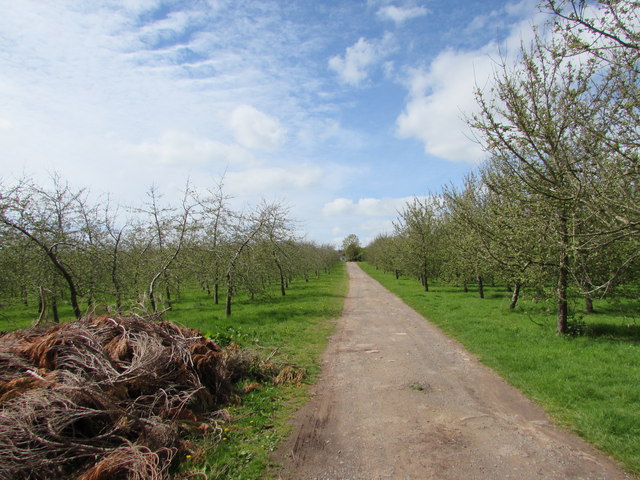
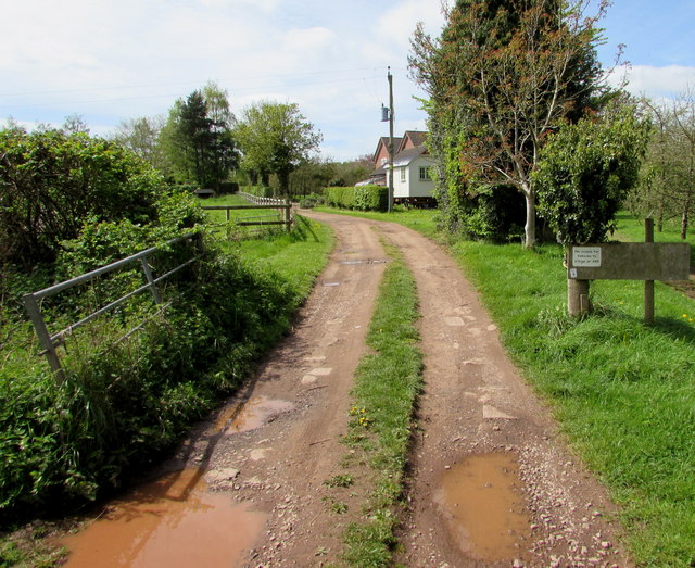
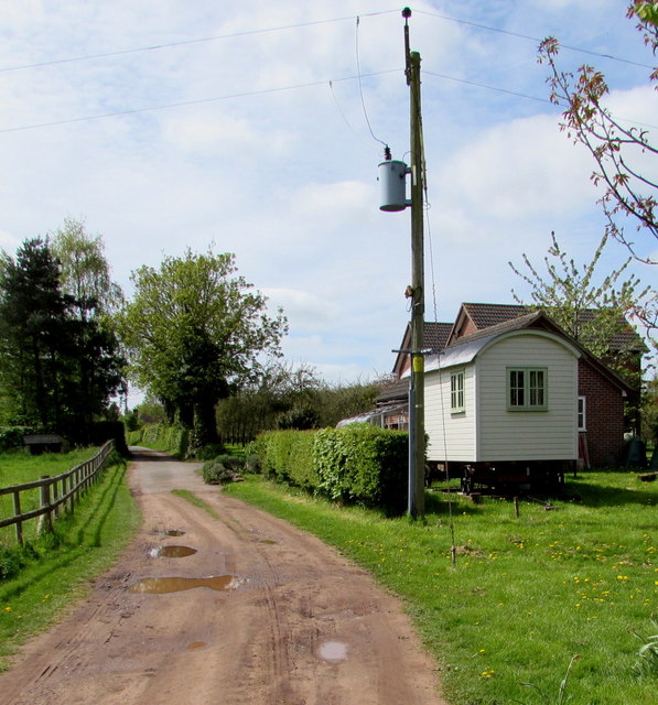
Ashe Pool Images
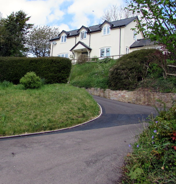
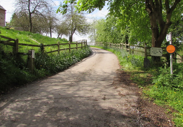
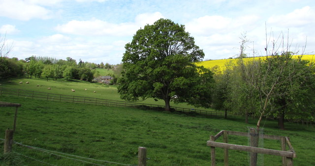
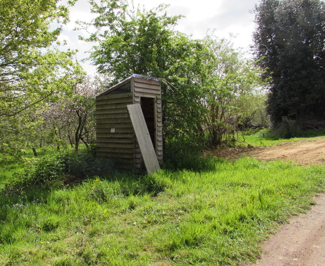
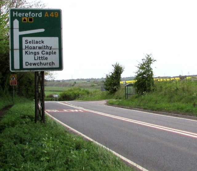
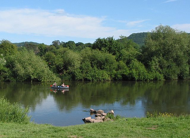
Images are sourced within 2km of 51.929095/-2.6134874 or Grid Reference SO5725. Thanks to Geograph Open Source API. All images are credited.
Ashe Pool is located at Grid Ref: SO5725 (Lat: 51.929095, Lng: -2.6134874)
Unitary Authority: County of Herefordshire
Police Authority: West Mercia
What 3 Words
///outline.scorpions.clinking. Near Sellack, Herefordshire
Related Wikis
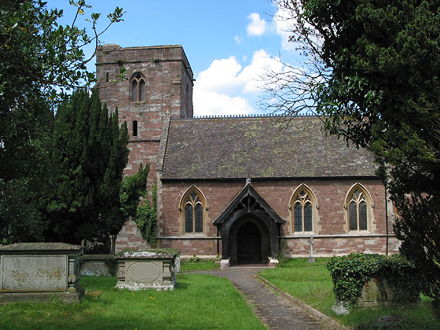
Bridstow
Bridstow is a village and civil parish in Herefordshire, England, 2 km (1.2 miles) west of Ross-on-Wye and 17 km (10.6 miles) south-east of Hereford. The...
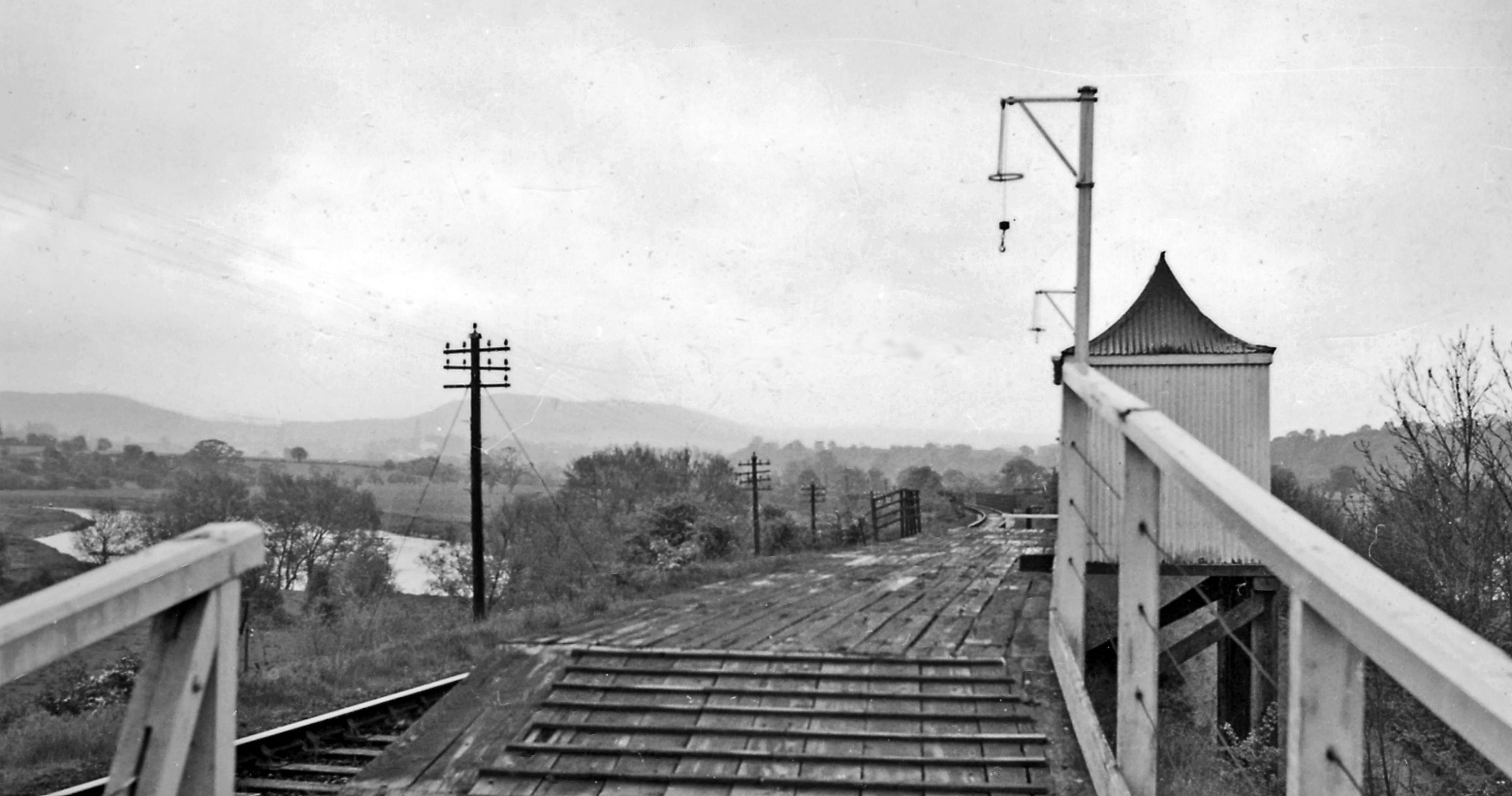
Backney Halt railway station
Backney Halt railway station was a request stop in the English county of Herefordshire. It was located on the Great Western Railway line linking Ross-on...
Wilton, Herefordshire
Wilton is a village in south Herefordshire, England just under a mile west of the market town of Ross-on-Wye. In 1100, Henry I set up three royal manors...

Wilton Castle
Wilton Castle is a 12th-century Norman castle located in south-eastern Herefordshire, England on the River Wye adjacent to the town of Ross-on-Wye. The...
Nearby Amenities
Located within 500m of 51.929095,-2.6134874Have you been to Ashe Pool?
Leave your review of Ashe Pool below (or comments, questions and feedback).