Bachelor's Bump
Settlement in Sussex Hastings
England
Bachelor's Bump
Bachelor's Bump is a small village located in the county of Sussex, England. Nestled among picturesque countryside, it is renowned for its tranquil and idyllic setting. The village is situated approximately 10 miles east of the county town of Lewes and is easily accessible by road via the A27.
The history of Bachelor's Bump dates back centuries, with records indicating its existence as early as the 13th century. The name "Bachelor's Bump" is believed to have originated from a local legend involving a group of unmarried men who would gather on a particular hill in the village to engage in various activities, including singing and storytelling.
Today, Bachelor's Bump retains much of its rural charm, with its quaint cottages and scenic landscapes attracting visitors from far and wide. The village is a popular destination for those seeking a peaceful retreat away from the hustle and bustle of city life. Its surroundings offer ample opportunities for outdoor activities such as hiking, cycling, and horseback riding.
While Bachelor's Bump is predominantly a residential area, it does boast a few amenities for its residents and visitors. These include a village pub, a small grocery store, and a primary school. For a wider range of services and amenities, nearby towns such as Lewes and Eastbourne are easily accessible.
In conclusion, Bachelor's Bump is a charming village in Sussex, England, known for its tranquil atmosphere and beautiful natural surroundings. It offers a perfect getaway for those seeking a peaceful retreat in the heart of the English countryside.
If you have any feedback on the listing, please let us know in the comments section below.
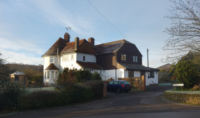
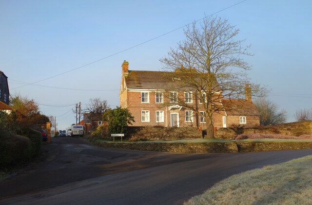
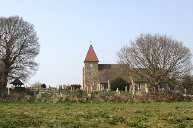
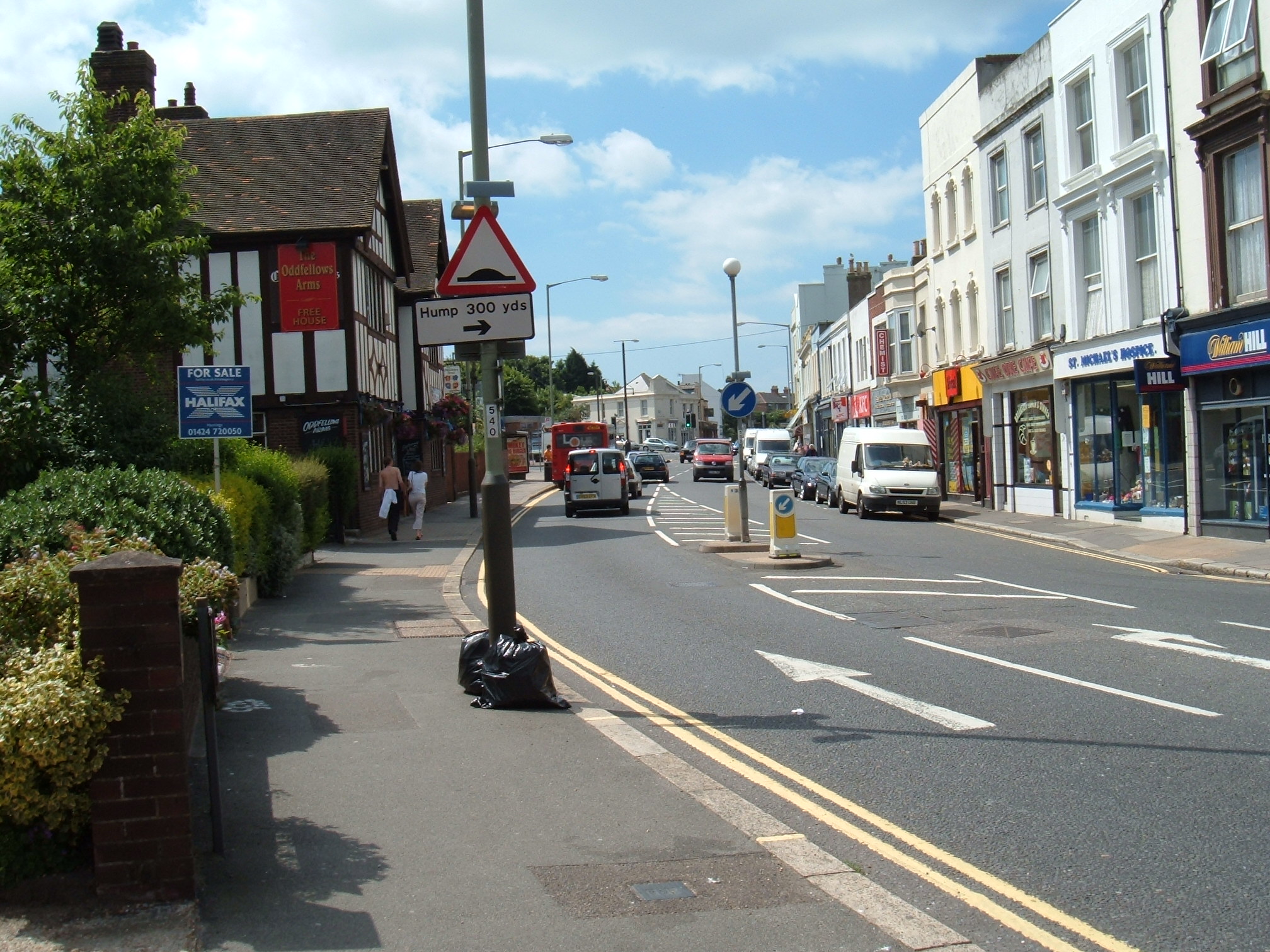
Bachelor's Bump Images
Images are sourced within 2km of 50.883445/0.621835 or Grid Reference TQ8412. Thanks to Geograph Open Source API. All images are credited.


Bachelor's Bump is located at Grid Ref: TQ8412 (Lat: 50.883445, Lng: 0.621835)
Administrative County: East Sussex
District: Hastings
Police Authority: Sussex
What 3 Words
///chemistry.youth.wasp. Near Fairlight, East Sussex
Nearby Locations
Related Wikis

Hastings Academy
The Hastings Academy, formerly known as Hillcrest, is a secondary school in Hastings, East Sussex, England. The Hastings Academy opened on 1 September...
Guestling
Guestling is a village and civil parish in the Rother district of East Sussex, England. The village is located 3 miles (4.8 km) north-east of Hastings...
Ore, East Sussex
Ore is a large suburb of the urban area of Hastings, in the Hastings district, in the county of East Sussex, England. Formerly a village, it is still known...
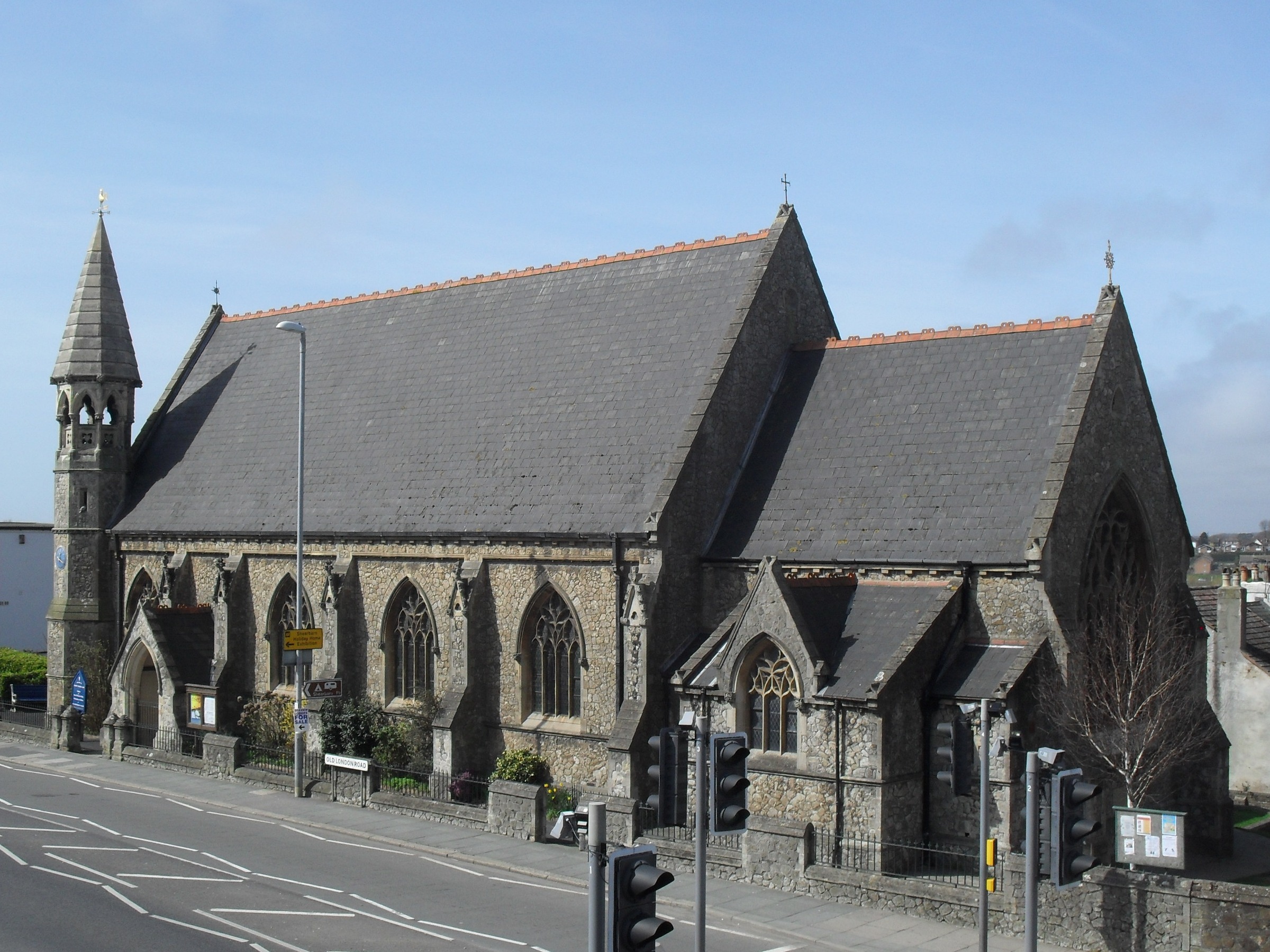
Christ Church, Ore
Christ Church is an Anglican church in the Ore area of the town and borough of Hastings, one of six local government districts in the English county of...
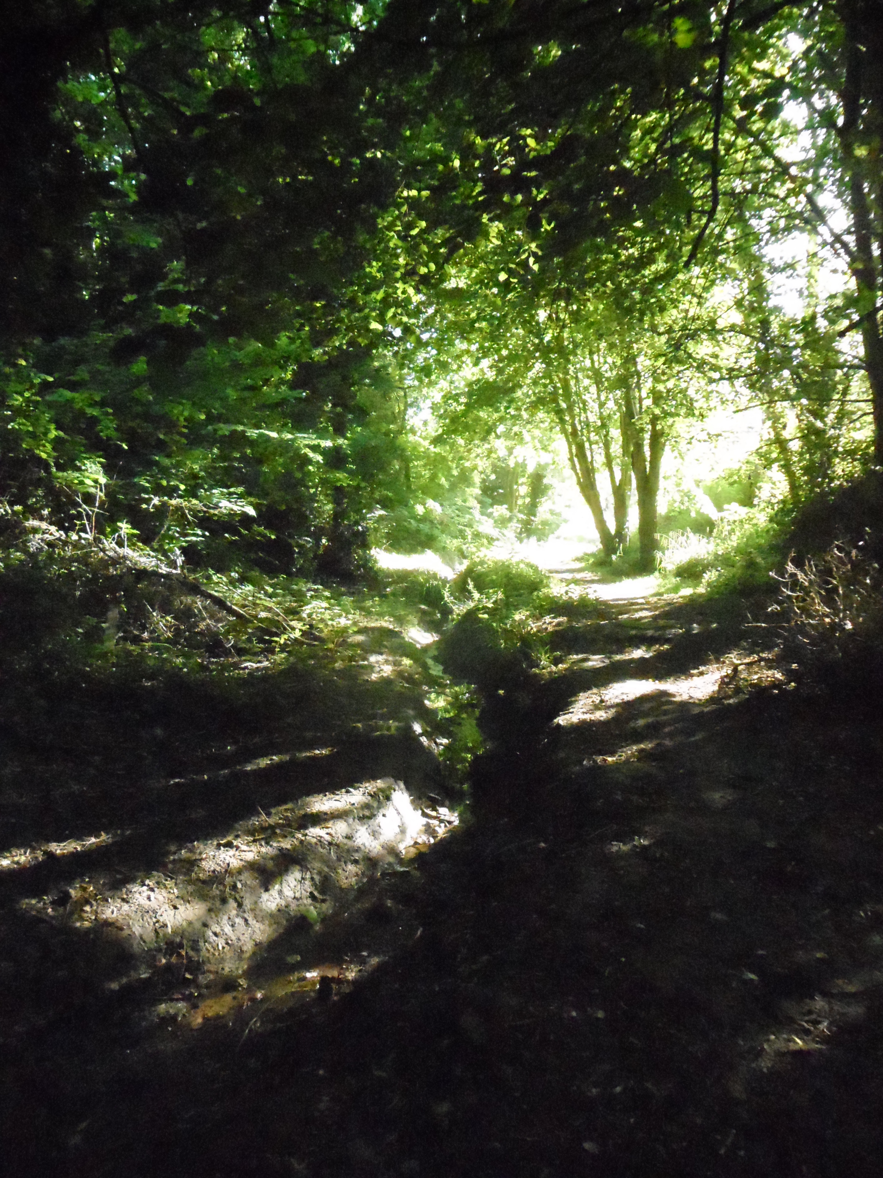
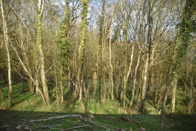
Speckled Wood, Hastings
Speckled Wood is a 12.7-acre (5.1 ha) woodland and park in Ore Village in the Ore Valley, Hastings, East Sussex, United Kingdom. The woodland park consists...

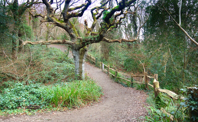
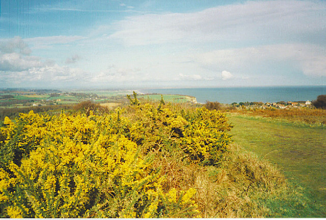
Hastings Country Park
Hastings Country Park was formed in 1974 and covers 345 hectares (850 acres) east of Hastings in England. Sandstone cliffs, glens covered with gorse and...

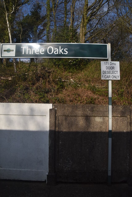
Three Oaks railway station
Three Oaks railway station serves the village of Three Oaks in East Sussex, England. It is on the Marshlink Line, and train services are provided by Southern...
Fairlight, East Sussex
Fairlight is a village in East Sussex, England within Rother district, three miles (5 km) to the east of Hastings. Fairlight is also the name of the civil...
Nearby Amenities
Located within 500m of 50.883445,0.621835Have you been to Bachelor's Bump?
Leave your review of Bachelor's Bump below (or comments, questions and feedback).