Bridge Pool

Lake, Pool, Pond, Freshwater Marsh in Roxburghshire

Scotland

Bridge Pool

The Tweed east of Melrose The Tweed seen from an elevated stile on the riverside path to Newstead.
The Tweed east of Melrose Credit: Jim Barton

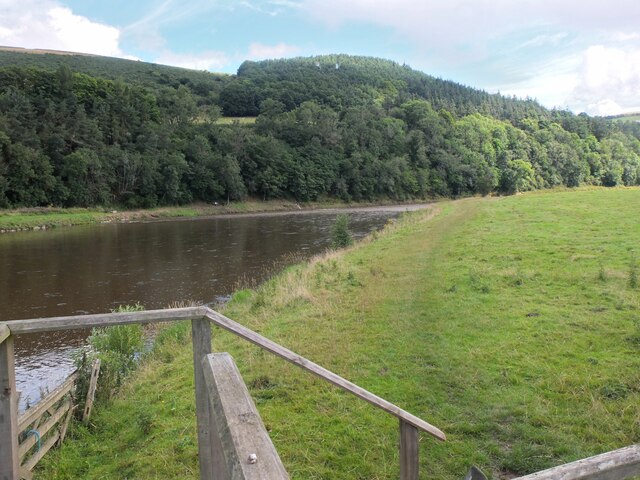
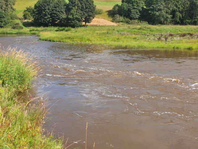
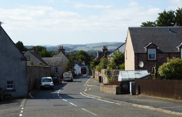
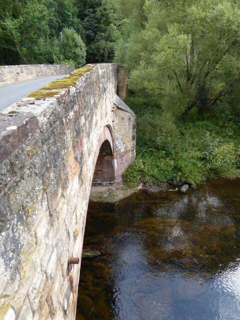
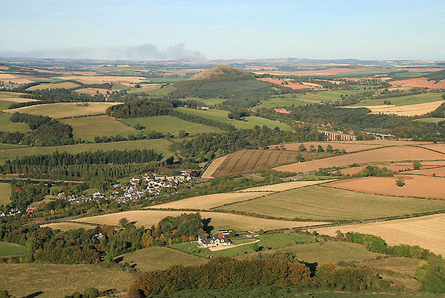
Bridge Pool is a picturesque freshwater pool located in Roxburghshire, Scotland. Nestled among rolling hills and lush greenery, this idyllic water body is a haven for nature enthusiasts and anglers alike. With its tranquil ambiance and diverse wildlife, Bridge Pool offers a serene escape from the hustle and bustle of everyday life.

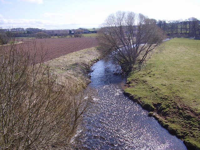
Spanning over an area of approximately 2 acres, Bridge Pool is a natural water feature formed by a small stream that flows through the surrounding landscape. The pool is characterized by its crystal-clear, cool waters that maintain a constant temperature throughout the year. This makes it an ideal habitat for various species of fish and other aquatic organisms.

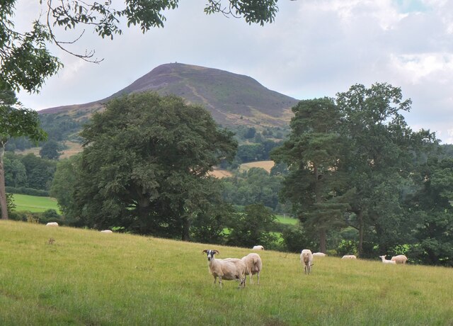
The pool is home to a rich and diverse ecosystem, with a wide range of flora and fauna thriving in and around the water. Vibrant water lilies, reeds, and other aquatic plants dot the surface, providing shelter and feeding grounds for waterfowl, insects, and small mammals. The surrounding area features a mix of woodland and open grasslands, attracting a variety of bird species such as herons, kingfishers, and songbirds.

Bridge Pool is a popular destination for anglers due to its abundance of fish species. The pool is well-stocked with brown trout and salmon, providing excellent opportunities for fishing enthusiasts to test their skills and enjoy a day on the water. Anglers can choose between fly fishing or traditional bait fishing, with the pool offering ample space and peaceful surroundings for a rewarding angling experience.

Overall, Bridge Pool offers a delightful blend of natural beauty, tranquility, and recreational opportunities. Whether it's fishing, bird-watching, or simply enjoying the peaceful ambiance, visitors to Bridge Pool are sure to be captivated by its charm and natural splendor.

If you have any feedback on the listing, please let us know in the comments section below.
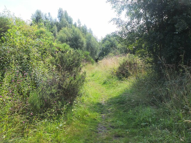
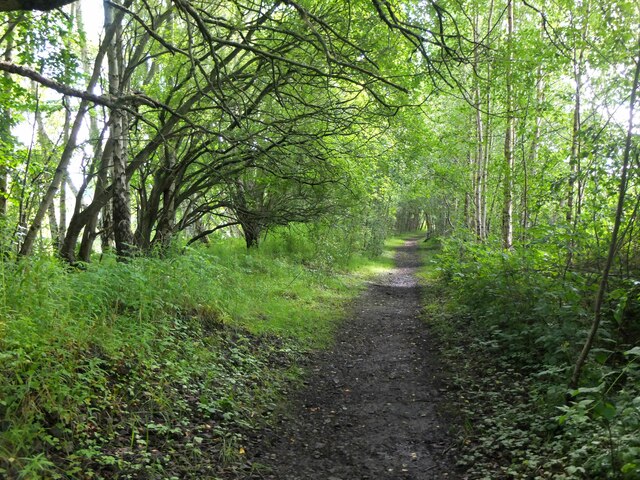
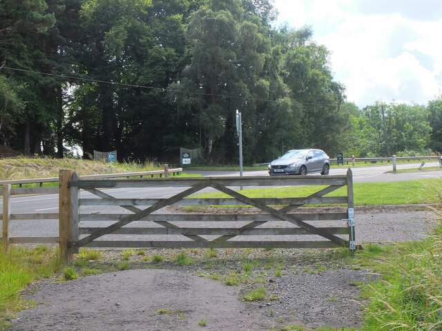
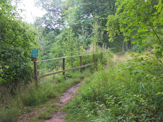
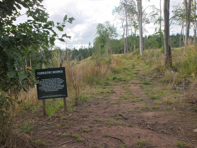
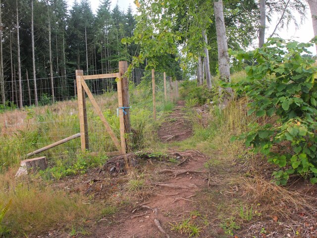
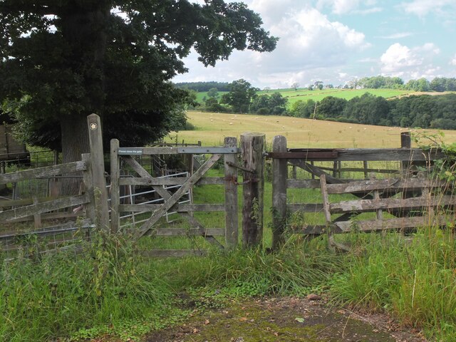
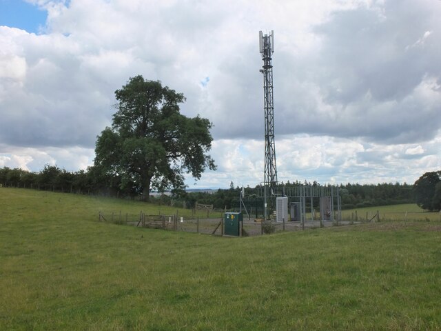
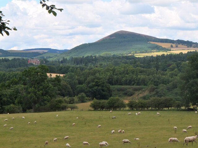
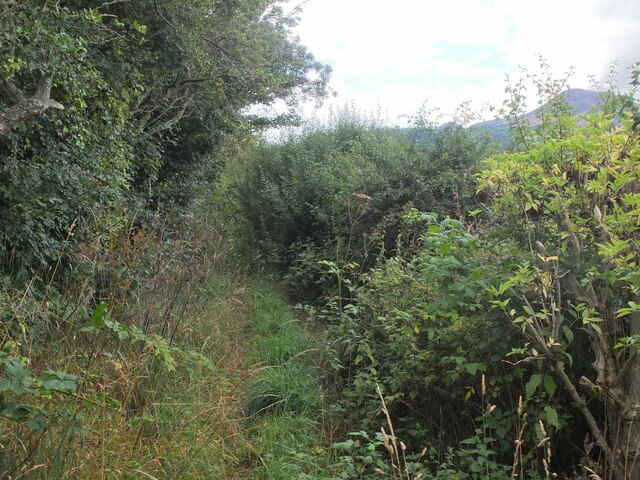
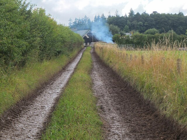
Bridge Pool Images

Images are sourced within 2km of 55.604141/-2.6766482 or Grid Reference NT5734. Thanks to Geograph Open Source API. All images are credited.

The Tweed east of Melrose The Tweed seen from an elevated stile on the riverside path to Newstead.
The Tweed east of Melrose
The Tweed seen from an elevated stile on the riverside path to Newstead.
Yesterday's rain, River Tweed Very heavy showers yesterday have increased the flow and coloured the water with suspended mud, here in a narrowing of the river near Newstead.
Yesterday's rain, River Tweed
Very heavy showers yesterday have increased the flow and coloured the water with suspended mud, here in a narrowing of the river near Newstead.
Main Street, Newstead A village close to the Trimontium Roman site east of Melrose.
Main Street, Newstead
A village close to the Trimontium Roman site east of Melrose.
Tractor laying a pipe The tractor was reversing around the field, unreeling a hosepipe from a drum held at the front, a skilled piece of driving. Presumably the pipe is for irrigation.
Tractor laying a pipe
The tractor was reversing around the field, unreeling a hosepipe from a drum held at the front, a skilled piece of driving. Presumably the pipe is for irrigation.
Former Waverley Line near Broomhill The line from Melrose to Hawick, somewhere near the junction with the former Berwickshire railway route from the Leaderfoot Viaduct. Now it is simply a slightly overgrown footpath signposted 'Old Melrose', leading to the A68 in a few hundred metres.
Former Waverley Line near Broomhill
The line from Melrose to Hawick, somewhere near the junction with the former Berwickshire railway route from the Leaderfoot Viaduct. Now it is simply a slightly overgrown footpath signposted 'Old Melrose', leading to the A68 in a few hundred metres.
Former Waverley Line near Broomhill (2) The line a little further along; from here the next station was Newtown St Boswells. See also Walter Baxter's photograph <a href="https://www.geograph.org.uk/photo/588559">NT5733 : Dismantled railway line</a> taken in 2007.
Former Waverley Line near Broomhill (2)
The line a little further along; from here the next station was Newtown St Boswells. See also Walter Baxter's photograph NT5733 : Dismantled railway line taken in 2007.
Former Waverley Line and A68 road Here the A68 cuts across the former railway route to Hawick and Carlisle. Across the road is the entrance to Old Melrose and the tearoom at the former Ravenswood dairy.
Former Waverley Line and A68 road
Here the A68 cuts across the former railway route to Hawick and Carlisle. Across the road is the entrance to Old Melrose and the tearoom at the former Ravenswood dairy.
Monks Trail, Old Melrose The name recalls the monastery established here in the 7th century, where St Cuthbert became the Prior before travelling to Lindisfarne. The path keeps above the River Tweed on its west bank before returning to the tearoom by a field edge path.
Monks Trail, Old Melrose
The name recalls the monastery established here in the 7th century, where St Cuthbert became the Prior before travelling to Lindisfarne. The path keeps above the River Tweed on its west bank before returning to the tearoom by a field edge path.
Path in felled woodland, Old Melrose The notice informs that the area is to be replanted and new paths and ponds with views to the Tweed will be constructed.
Path in felled woodland, Old Melrose
The notice informs that the area is to be replanted and new paths and ponds with views to the Tweed will be constructed.
Path by plantation edge, Old Melrose The Monks Trail in the Ravenswood Estate.
Path by plantation edge, Old Melrose
The Monks Trail in the Ravenswood Estate.
Path to Eildon village A gate near the A68 for a path signposted to Eildon; it follows a field edge towards a mobile phone mast, then to Eildon Mains farm.
Path to Eildon village
A gate near the A68 for a path signposted to Eildon; it follows a field edge towards a mobile phone mast, then to Eildon Mains farm.
Sheep near Eildon In the background is the steep-sided Eildon Hill North.
Sheep near Eildon
In the background is the steep-sided Eildon Hill North.
Phone mast near Eildon In farmland west of the A68.
Phone mast near Eildon
In farmland west of the A68.
Sheep and Black Hill Sheep grazing in a pasture near Eildon with Black Hill (314m) beyond. Like the nearby Eildon Hills, this is of volcanic origin.
Sheep and Black Hill
Sheep grazing in a pasture near Eildon with Black Hill (314m) beyond. Like the nearby Eildon Hills, this is of volcanic origin.
Path to Eildon village - just! A heavily overgrown stretch of path near Eildon. Overhanging nettles and brambles would make this a severe test for anyone misguided enough to be wearing shorts.
Path to Eildon village - just!
A heavily overgrown stretch of path near Eildon. Overhanging nettles and brambles would make this a severe test for anyone misguided enough to be wearing shorts.
Track to Eildon Mains The track meets the old road near Eildon village.
Track to Eildon Mains
The track meets the old road near Eildon village.
Main Street, Newstead A bus is having difficulty negotiating the narrow road!
Main Street, Newstead
A bus is having difficulty negotiating the narrow road!
Bridge over Leader Water The river is soon to join the River Tweed.
Bridge over Leader Water
The river is soon to join the River Tweed.
Show me another place!

Bridge Pool is located at Grid Ref: NT5734 (Lat: 55.604141, Lng: -2.6766482)

Unitary Authority: The Scottish Borders

Police Authority: The Lothians and Scottish Borders

What 3 Words

///soup.ladder.housework. Near Newtown St Boswells, Scottish Borders

Related Wikis

Related Videos

Leaderfoot Viaduct - One of Striking Heritage Landmarks in the Scottish Borders #travel #shorts

The Leaderfoot Viaduct, also known as the Drygrange Viaduct, is a railway viaduct over the River Tweed near Melrose in the ...

St Cuthbert’s Way - Day 1 - Melrose to Jedburgh

Bridging the national border between Scotland and England, this inspiring 100km (62.5 miles) cross border route links Melrose in ...

St Cuthbert's Way - Day 1, Melrose to Ancrum/Jedburgh -13 Miles/22 Km with an ascent of 1,946ft/593m

Melrose to Jedburgh St Cuthberts Way, Scottish/English borders, Day 1 Following on from a couple of national trails in England ...

Nearby Amenities

Located within 500m of 55.604141,-2.6766482
Bus Stop
Leaderfoot Bridge
Bench: no
Bin: no
Bus: yes
Departures Board: no
Lit: no
Local Ref: N-bound
Naptan AtcoCode: 69001719
Naptan Bearing: N
Naptan CommonName: Leaderfoot Bridge
Naptan Indicator: N-bound
Naptan Landmark: Leaderfoot Bridge
Naptan NaptanCode: 72798462
Naptan Street: A68
Naptan Verified: yes
Public Transport: platform
Ref: 69001719
Shelter: no
Source: local knowledge;survey;NaPTAN
Lat/Long: 55.6024744/-2.6746022
Bus Stop
Leaderfoot Bridge
Bench: no
Bin: no
Bus: yes
Departures Board: no
Lit: no
Local Ref: S-bound
Naptan AtcoCode: 69001720
Naptan Bearing: S
Naptan CommonName: Leaderfoot Bridge
Naptan Indicator: S-bound
Naptan Landmark: Leaderfoot Bridge
Naptan NaptanCode: 72798463
Naptan Street: A68
Naptan Verified: yes
Public Transport: platform
Ref: 69001720
Shelter: no
Source: local knowledge;survey;NaPTAN
Lat/Long: 55.6021624/-2.6741999
Leaderfoot Viaduct
Whitewater: put_in
Lat/Long: 55.6041499/-2.6765823
Parking
Lat/Long: 55.6034659/-2.6757335
Leaderfoot Lodge
Place: isolated_dwelling
Lat/Long: 55.6041073/-2.6705243
Leaderfoot Mill
Place: isolated_dwelling
Lat/Long: 55.6033018/-2.6721405
Leaderfoot
Place: hamlet
Lat/Long: 55.6049204/-2.6763046
Barrier: bollard
Bicycle: yes
Foot: yes
Lat/Long: 55.6034927/-2.6757592
Information: guidepost
Tourism: information
Lat/Long: 55.6031577/-2.6787597
Leaderfoot Viaduct
Tourism: viewpoint
Lat/Long: 55.6033335/-2.6760259
Bridges Across Time
Board Type: history
Information: board
Tourism: information
Lat/Long: 55.6033589/-2.6760688
Power: pole
Lat/Long: 55.6047605/-2.6691475
Power: pole
Lat/Long: 55.6050753/-2.6701324
Power: pole
Lat/Long: 55.6054003/-2.6711963
Power: pole
Lat/Long: 55.6058373/-2.6725859
Power: pole
Lat/Long: 55.6062255/-2.6738254
Power: pole
Lat/Long: 55.6064181/-2.6744973
Material: wood
Power: pole
Lat/Long: 55.6067934/-2.6755331
Power: pole
Lat/Long: 55.6072505/-2.6768133
Power: pole
Lat/Long: 55.6073354/-2.6770449
Power: pole
Lat/Long: 55.6066367/-2.6778339
Power: pole
Lat/Long: 55.605938/-2.6786407
Power: pole
Lat/Long: 55.605429/-2.6792082
Power: pole
Lat/Long: 55.6053011/-2.6792693
Power: pole
Lat/Long: 55.6041495/-2.6796714
Power: pole
Lat/Long: 55.6036678/-2.6798292
Power: pole
Lat/Long: 55.6031732/-2.6799794
Power: pole
Lat/Long: 55.6026585/-2.6792057
Power: pole
Lat/Long: 55.6022717/-2.6785974
Power: pole
Lat/Long: 55.6022272/-2.6783938
Power: pole
Lat/Long: 55.6015384/-2.6779789
Power: pole
Lat/Long: 55.6007678/-2.6774903
Power: pole
Lat/Long: 55.6000445/-2.6770143
Traffic Calming: mini_bumps
Lat/Long: 55.6030347/-2.6757114
The data included in this document is from www.openstreetmap.org. The data is made available under ODbL.

Have you been to Bridge Pool?

Leave your review of Bridge Pool below (or comments, questions and feedback).