Bridge of Lead Pot

Lake, Pool, Pond, Freshwater Marsh in Aberdeenshire

Scotland

Bridge of Lead Pot

Grazing horse Horse grazing in a field at Greystone, west of Alford.
Grazing horse Credit: Scott Cormie

The Bridge of Lead Pot is a picturesque freshwater marsh located in Aberdeenshire, Scotland. Nestled amidst rolling hills and lush greenery, this idyllic spot is a haven for nature lovers and outdoor enthusiasts alike.

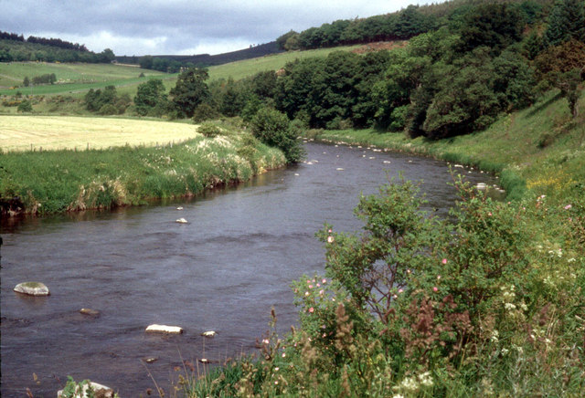
The centerpiece of the area is the serene lake, which is surrounded by a dense growth of reeds and water lilies. The lake itself is relatively small, covering an area of approximately 2 hectares, but it is teeming with aquatic life. Visitors can spot various species of fish, including trout and perch, as well as an array of water birds such as swans, ducks, and herons.

In addition to the lake, the Bridge of Lead Pot boasts a network of interconnected pools and ponds. These smaller bodies of water offer a tranquil setting and are home to a diverse range of plant and animal species. The pools are particularly popular among birdwatchers, as they attract a wide variety of migratory birds throughout the year.

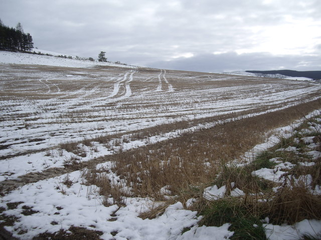
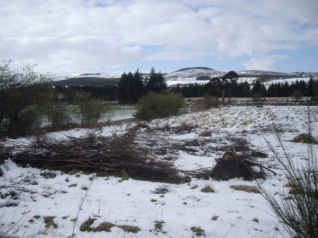
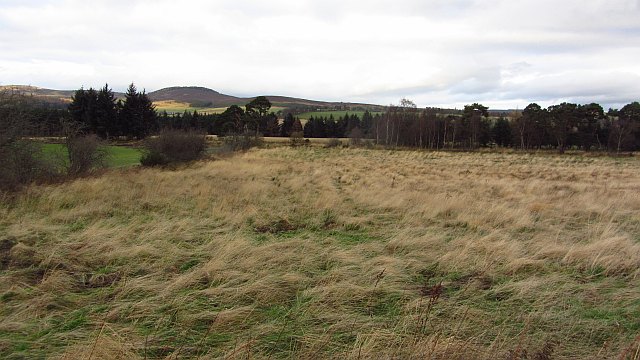
Surrounding the water bodies is a thriving freshwater marsh ecosystem. This marshland is characterized by a rich assortment of vegetation, including cattails, sedges, and water mint. It serves as an important habitat for numerous amphibians, reptiles, and insects, contributing to the overall biodiversity of the area.

The Bridge of Lead Pot provides a peaceful and picturesque escape from the hustle and bustle of daily life. Whether visitors are interested in birdwatching, fishing, or simply enjoying the tranquility of nature, this hidden gem in Aberdeenshire offers a truly immersive experience in a stunning natural setting.

If you have any feedback on the listing, please let us know in the comments section below.

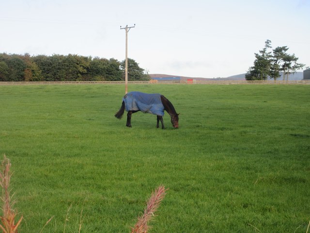
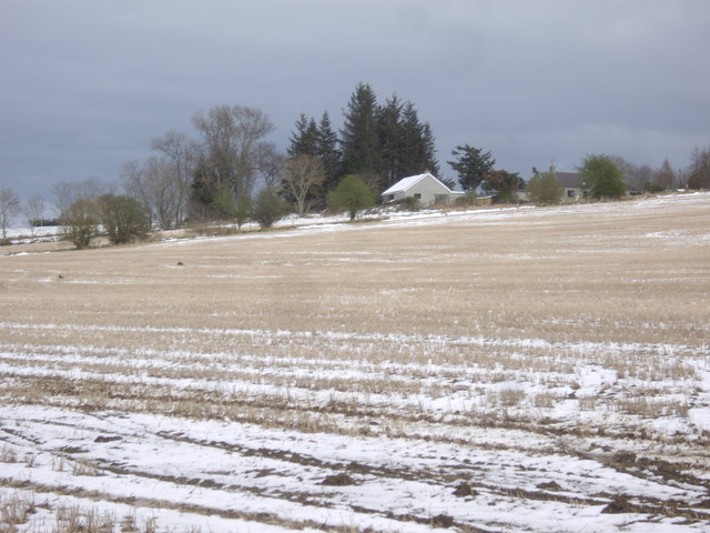
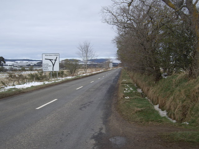
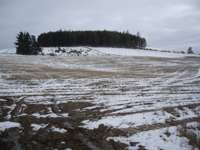
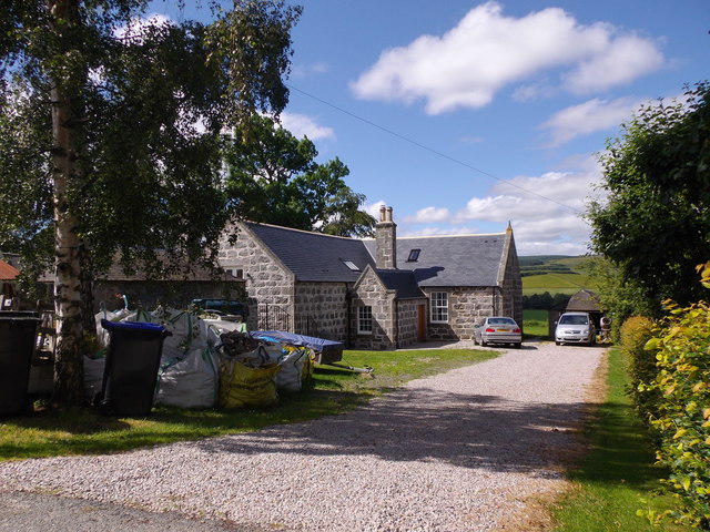
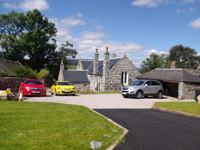
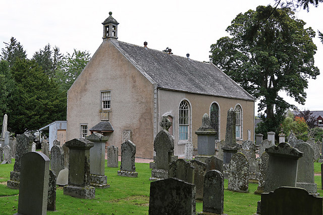
Bridge of Lead Pot Images

Images are sourced within 2km of 57.242404/-2.7460387 or Grid Reference NJ5517. Thanks to Geograph Open Source API. All images are credited.

Grazing horse Horse grazing in a field at Greystone, west of Alford.
Grazing horse
Horse grazing in a field at Greystone, west of Alford.
Thomas Telford's Bridge at Bridge of Alford Built in 1811 at a cost of £2000, a 3 span masonry arch bridge by the engineer who was to become the first President of the Institution of Civil Engineers. The bridge was reconstructed in 1987, according to the plaque on the west parapet.
Thomas Telford's Bridge at Bridge of Alford
Built in 1811 at a cost of £2000, a 3 span masonry arch bridge by the engineer who was to become the first President of the Institution of Civil Engineers. The bridge was reconstructed in 1987, according to the plaque on the west parapet.
View towards Ardgathen From the A980.
View towards Ardgathen
From the A980.
A980 approaching Bridge of Alford slip road En route Lumphanan to Alford.
A980 approaching Bridge of Alford slip road
En route Lumphanan to Alford.
Gallow Hill wood Viewed from A980.
Gallow Hill wood
Viewed from A980.
Wheel tracks in a field near Gallow Hill Picked out by an overnight fall of snow.
Wheel tracks in a field near Gallow Hill
Picked out by an overnight fall of snow.
Drainage ditches in the Don Valley Viewed from the A980 below Gallow Hill.
Drainage ditches in the Don Valley
Viewed from the A980 below Gallow Hill.
Land out of production Grass which has not been grazed or cut recently.
Land out of production
Grass which has not been grazed or cut recently.
A bend in the River Don Several pairs of Sedge Warblers are selecting their territories this month
A bend in the River Don
Several pairs of Sedge Warblers are selecting their territories this month
Former Gallowhill School (1) The Alma Mater of the poet Charles 'Hamewith' Murray.
Former Gallowhill School (1)
The Alma Mater of the poet Charles 'Hamewith' Murray.
Former Gallowhill School (2) Converted to a dwelling house.
Former Gallowhill School (2)
Converted to a dwelling house.
Alford West Kirk and manse With a walled area containing six horizontal gravestones, each with an identical key motif. No further information/explanation to hand - help please.
Alford West Kirk and manse
With a walled area containing six horizontal gravestones, each with an identical key motif. No further information/explanation to hand - help please.
One of several Murray family graves in Alford West Kirkyard Relatives of Charles Murray ('Doric' poet) whose ashes were spread close by. See <span class="nowrap"><a title="http://humphrysfamilytree.com/Murray/poet.html" rel="nofollow ugc noopener" href="http://humphrysfamilytree.com/Murray/poet.html">Link</a><img style="margin-left:2px;" alt="External link" title="External link - shift click to open in new window" src="https://s1.geograph.org.uk/img/external.png" width="10" height="10"/></span> for a family tree.
One of several Murray family graves in Alford West Kirkyard
Relatives of Charles Murray ('Doric' poet) whose ashes were spread close by. See LinkExternal link for a family tree.
Re-configured junction with A980 For A944 to Bridge of Alford one must now turn right then left - the road used to be straight ahead here! First pass the sheep pen on the right.
Re-configured junction with A980
For A944 to Bridge of Alford one must now turn right then left - the road used to be straight ahead here! First pass the sheep pen on the right.
Downstream River Don from Bridge of Alford
Boat Pot, River Don A fishing beat below Bridge of Alford; viewed from Telford's 3-arch stone bridge of 1811. Waterside houses on left.
Boat Pot, River Don
A fishing beat below Bridge of Alford; viewed from Telford's 3-arch stone bridge of 1811. Waterside houses on left.
West Parish Church, Alford The church is by the A980 on the west side of Alford. A church was on this site in the 12th century but the present building was erected in the early 19th century. The church is closed and in private ownership. (Source: Places of worship in Scotland website)
West Parish Church, Alford
The church is by the A980 on the west side of Alford. A church was on this site in the 12th century but the present building was erected in the early 19th century. The church is closed and in private ownership. (Source: Places of worship in Scotland website)
A wall memorial at West Parish Church, Alford This magnificent symbolic memorial with an impressive skeleton is on the west gable of the church. Unfortunately the inscription panel has weathered badly over the years. A small slate-roofed open porch protects the memorial from the weather.
A wall memorial at West Parish Church, Alford
This magnificent symbolic memorial with an impressive skeleton is on the west gable of the church. Unfortunately the inscription panel has weathered badly over the years. A small slate-roofed open porch protects the memorial from the weather.
Show me another place!

Bridge of Lead Pot is located at Grid Ref: NJ5517 (Lat: 57.242404, Lng: -2.7460387)

Unitary Authority: Aberdeenshire

Police Authority: North East

What 3 Words

///fats.clouding.decreased. Near Alford, Aberdeenshire

Related Wikis

Bridge of Alford

Bridge of Alford is a village in Aberdeenshire, Scotland.Bridge of Alford is situated near Alford beside the bridge over the River Don. It is on the road...

Battle of Alford

The Battle of Alford was an engagement of the Scottish Civil War. It took place near the village of Alford, Aberdeenshire, on 2 July 1645. During the battle...

Forbes, Aberdeenshire

Forbes is a hamlet by Tullynessle in Aberdeenshire, Scotland. It is connected to Tullynessle 1 3/4 miles from Alford. == See also == Clan Forbes ��2�...

Asloun Castle

Asloun Castle is a castle, formerly Z-plan, dating from the 16th century, 2 miles (3.2 km) south-west of Alford, in Aberdeenshire, Scotland, of which only...

Nearby Amenities

Located within 500m of 57.242404,-2.7460387
Breda
Place: isolated_dwelling
Lat/Long: 57.2385929/-2.7491721
Power: pole
Lat/Long: 57.2463952/-2.7478848
Power: pole
Lat/Long: 57.2458321/-2.7472285
Power: pole
Lat/Long: 57.246358/-2.74247
Power: pole
Lat/Long: 57.2461794/-2.7440584
Power: pole
Lat/Long: 57.2460057/-2.7456322
Power: pole
Lat/Long: 57.245654/-2.7488074
Material: wood
Power: pole
Lat/Long: 57.2453449/-2.7502477
Material: wood
Power: pole
Lat/Long: 57.2450778/-2.7514698
Material: wood
Power: pole
Lat/Long: 57.2447577/-2.7529157
Material: wood
Power: pole
Lat/Long: 57.2432552/-2.7536497
Material: wood
Power: pole
Lat/Long: 57.2425809/-2.7532743
Power: pole
Lat/Long: 57.2452674/-2.7402708
Power: pole
Lat/Long: 57.2447603/-2.7400984
Power: pole
Lat/Long: 57.2442184/-2.7399021
Power: pole
Lat/Long: 57.2438274/-2.7406358
Material: wood
Power: pole
Lat/Long: 57.2430503/-2.742039
Material: wood
Power: pole
Lat/Long: 57.2427933/-2.7424993
Power: pole
Lat/Long: 57.2442442/-2.7407403
Power: pole
Lat/Long: 57.2442184/-2.7398929
Power: pole
Lat/Long: 57.2440616/-2.7392033
Power: pole
Lat/Long: 57.2439018/-2.7385099
The data included in this document is from www.openstreetmap.org. The data is made available under ODbL.

Have you been to Bridge of Lead Pot?

Leave your review of Bridge of Lead Pot below (or comments, questions and feedback).