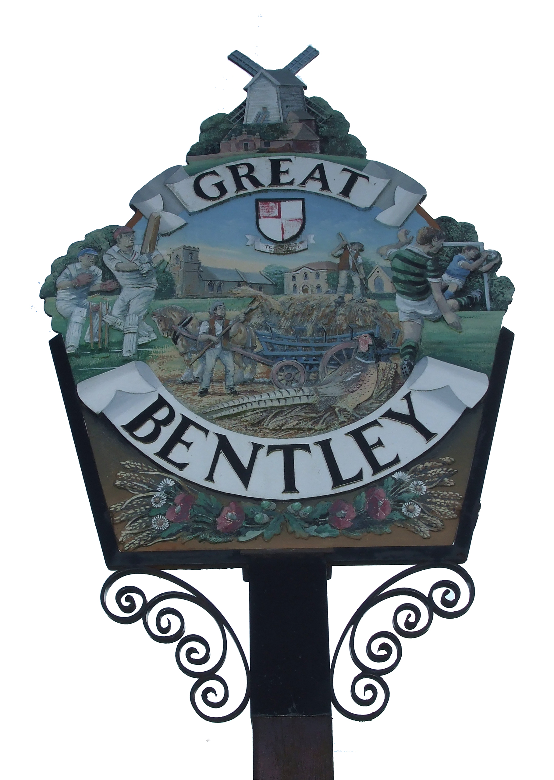
Bentley, Great

Settlement in Essex Tendring

England

Bentley, Great

Level crossing on Frating Road
Level crossing on Frating Road Credit: Helen Steed

Bentley, a small village in the district of Great Bentley, Essex, is a picturesque and historic settlement located in the eastern part of England. Situated approximately 60 miles northeast of London, this rural village offers a peaceful and idyllic setting for its residents and visitors.

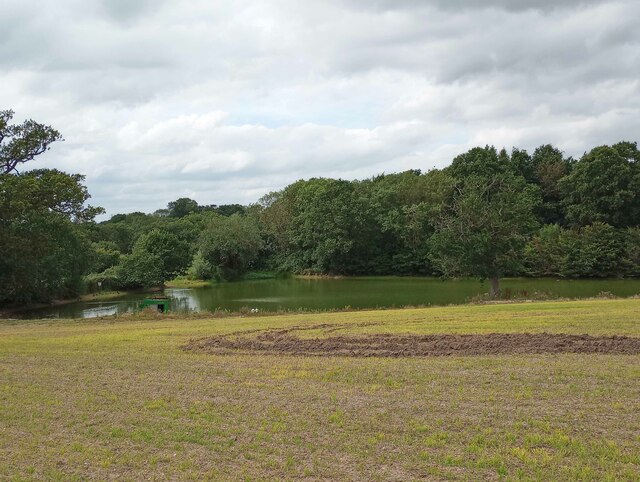
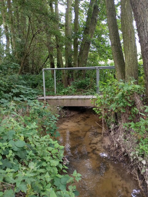
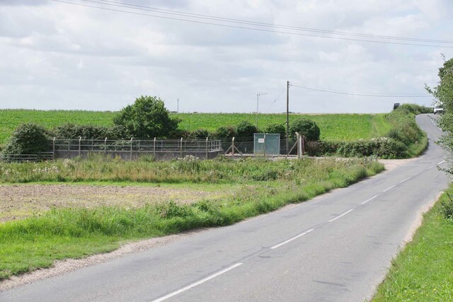
The village of Bentley is characterized by its charming thatched cottages, traditional English architecture, and vibrant green landscapes. It is surrounded by fertile farmland, which contributes to the village's agricultural history and present-day activities. The Bentley Brook, a small stream that flows through the village, adds to its scenic beauty.

Great Bentley is renowned for its historic significance and has numerous landmarks that attract tourists. The St. Mary's Church, a Grade I listed building dating back to the 12th century, stands proudly in the village center and serves as a reminder of its rich heritage. The Bentley Priory, a former Benedictine priory and now a private residence, also showcases the village's historical roots.

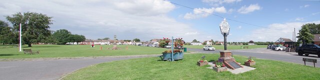
In addition to its historical attractions, Great Bentley offers a range of amenities to its residents. The village has a primary school, a post office, a local shop, and several traditional pubs where locals and visitors can relax and enjoy a refreshing drink. The village also hosts various events throughout the year, including the Great Bentley Village Carnival, which brings the community together in a celebration of local culture.

Overall, Bentley, Great, Essex is a charming and historically significant village that offers a tranquil escape from the bustling city life. With its beautiful surroundings and rich history, it provides a delightful destination for those seeking a taste of rural England.

If you have any feedback on the listing, please let us know in the comments section below.

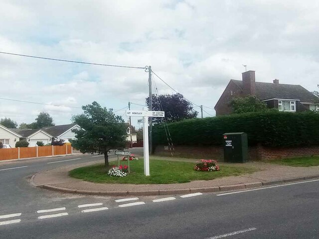
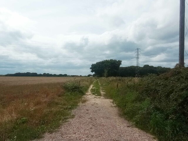
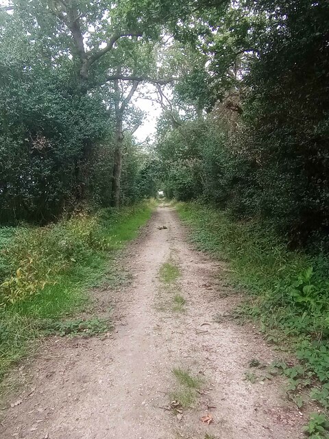
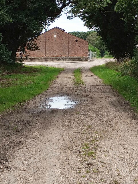
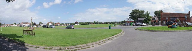
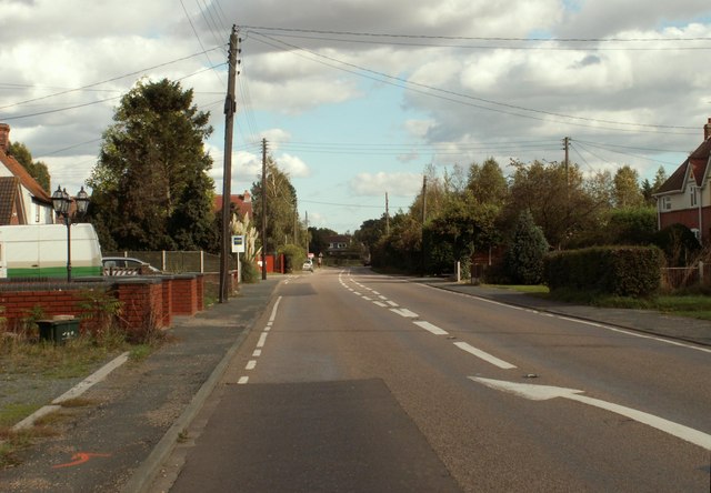
Bentley, Great Images

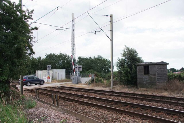
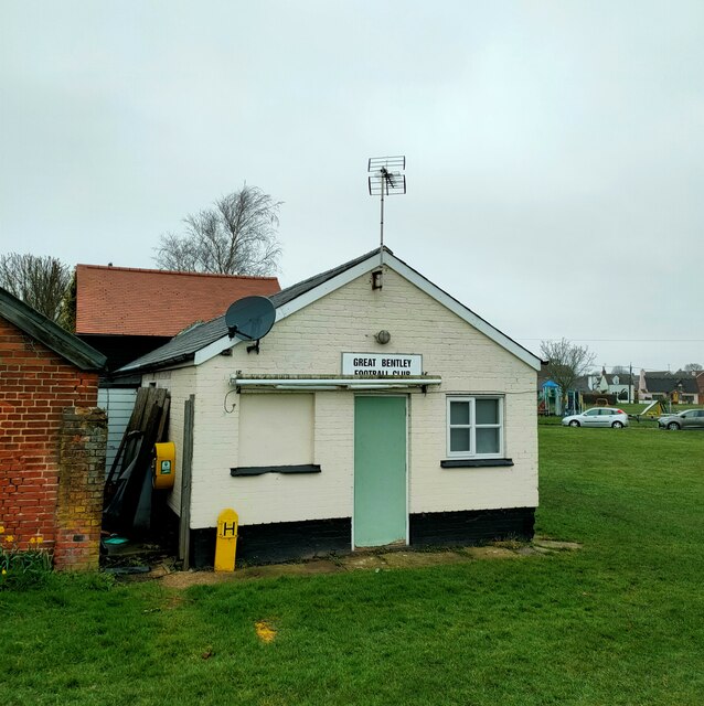
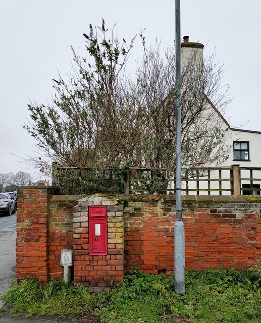
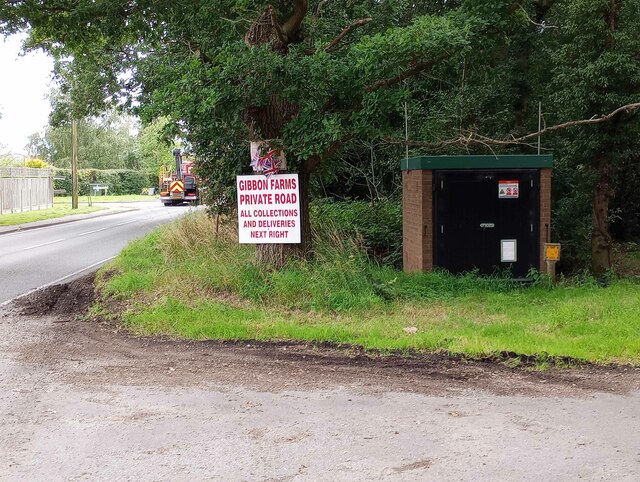
Images are sourced within 2km of 51.854809/1.0622 or Grid Reference TM1021. Thanks to Geograph Open Source API. All images are credited.

Level crossing on Frating Road
Thorrington Level Crossing Looking from Church Road towards Frating Road.
Thorrington Level Crossing
Looking from Church Road towards Frating Road.
Turf Farm Taken from Great Bentley Road.
Turf Farm
Taken from Great Bentley Road.
Frating Road Crossining Looking towards the B1027.
Frating Road Crossining
Looking towards the B1027.
Old Platelayer's Hut by Frating Road Crossing Looking towards <a href="https://www.geograph.org.uk/photo/7570891">TM0921 : Frating Road Crossining</a>.
Old Platelayer's Hut by Frating Road Crossing
Great Bentley Football Club
Victorian Letter Box, Great Bently Post boxes come in many forms from free standing pillar boxes to those built into walls. The monarch's cypher is always present to give an indication of age.
In the British Isles the first red pillar post boxes were erected in Jersey in 1852. Roadside wall boxes first appeared in 1857 as a cheaper alternative to pillar boxes, especially in rural districts. In 1853 the first pillar box in the United Kingdom was installed at Botchergate, Carlisle. In 1856, Richard Redgrave of the Department of Science and Art designed an ornate pillar box for use in London and other large cities. In 1859 the design was improved, and this became the first National Standard pillar box. Green was adopted as the standard colour for the early Victorian post boxes. Between 1866 and 1879 the hexagonal Penfold post box became the standard design for pillar boxes and it was during this period that red was first adopted as the standard colour. The first boxes to be painted red were in London in July 1874, although it would be nearly 10 years before all the boxes had been repainted.(excerpt from Wikipedia)
Victorian Letter Box, Great Bently
Post boxes come in many forms from free standing pillar boxes to those built into walls. The monarch's cypher is always present to give an indication of age. In the British Isles the first red pillar post boxes were erected in Jersey in 1852. Roadside wall boxes first appeared in 1857 as a cheaper alternative to pillar boxes, especially in rural districts. In 1853 the first pillar box in the United Kingdom was installed at Botchergate, Carlisle. In 1856, Richard Redgrave of the Department of Science and Art designed an ornate pillar box for use in London and other large cities. In 1859 the design was improved, and this became the first National Standard pillar box. Green was adopted as the standard colour for the early Victorian post boxes. Between 1866 and 1879 the hexagonal Penfold post box became the standard design for pillar boxes and it was during this period that red was first adopted as the standard colour. The first boxes to be painted red were in London in July 1874, although it would be nearly 10 years before all the boxes had been repainted.(excerpt from Wikipedia)
Gas Valve in Aingers Green The ID plate on the door gives the What Three Words as Detonated.Ruins.Employers. Strangely that is not what my phone said. However if I inputted the code the map showed the correct location. I feel much safer with OS grid refs!
Gas Valve in Aingers Green
The ID plate on the door gives the What Three Words as Detonated.Ruins.Employers. Strangely that is not what my phone said. However if I inputted the code the map showed the correct location. I feel much safer with OS grid refs!
Plough Rd Wheeley Rd Junction Looking across Plough Rd.
Plough Rd Wheeley Rd Junction
Looking across Plough Rd.
Great Bentley Footpath 13 Looking from Angers Green towards Thorrington.
Great Bentley Footpath 13
Looking from Angers Green towards Thorrington.
Footpath Through Lodge Plantation Further along <a href="https://www.geograph.org.uk/photo/7570720">TM1120 : Great Bentley Footpath 13</a>
Footpath Through Lodge Plantation
Farm Track to High Barn Taken from <a href="https://www.geograph.org.uk/photo/7570720">TM1120 : Great Bentley Footpath 13</a>
Farm Track to High Barn
Farm Reservoir Near Frating Abbey Taken from Great Bentley Footpath 13.
Farm Reservoir Near Frating Abbey
Taken from Great Bentley Footpath 13.
Footbridge Over Bentley Brook The bridge carries Great Bentley footpath 13 half way over the brook it then becomes Thorrington Footpath 5. Taken looking upstream.
Footbridge Over Bentley Brook
The bridge carries Great Bentley footpath 13 half way over the brook it then becomes Thorrington Footpath 5. Taken looking upstream.
Great Bentley Footpath 4 This path joins with Frating footpath 2.
Great Bentley Footpath 4
This path joins with Frating footpath 2.
Sewage Pumping Station An Anglian Water facility on the outskirts of Great Bentley.
Sewage Pumping Station
An Anglian Water facility on the outskirts of Great Bentley.
Great Bentley Panorama 1 To get the feel of the scale of probably largest largest village green in the country needs more than one photo (Frampton on Severn is the longest but is only 22 acres in area) .  The locals bought up the common land manorial rights to 40.4 acres of land in the 1960's to ensure the survival of the green.
See also  <a href="https://www.geograph.org.uk/photo/7570967">TM1121 : Great Bentley Panorama 2</a> & <a href="https://www.geograph.org.uk/photo/7570986">TM1121 : Great Bentley Panorama 3</a>
Great Bentley Panorama 1
To get the feel of the scale of probably largest largest village green in the country needs more than one photo (Frampton on Severn is the longest but is only 22 acres in area) . The locals bought up the common land manorial rights to 40.4 acres of land in the 1960's to ensure the survival of the green. See also TM1121 : Great Bentley Panorama 2 & TM1121 : Great Bentley Panorama 3
Great Bentley Panorama 2 To get the feel of the scale of probably largest largest village green in the country needs more than one photo (Frampton on Severn is the longest but is only 22 acres in area) .  The locals bought up the common land manorial rights to 40.4 acres of land in the 1960's to ensure the survival of the green.
See also  <a href="https://www.geograph.org.uk/photo/7570948">TM1121 : Great Bentley Panorama 1</a> and <a href="https://www.geograph.org.uk/photo/7570986">TM1121 : Great Bentley Panorama 3</a>
Great Bentley Panorama 2
To get the feel of the scale of probably largest largest village green in the country needs more than one photo (Frampton on Severn is the longest but is only 22 acres in area) . The locals bought up the common land manorial rights to 40.4 acres of land in the 1960's to ensure the survival of the green. See also TM1121 : Great Bentley Panorama 1 and TM1121 : Great Bentley Panorama 3
Show me another place!

Bentley, Great is located at Grid Ref: TM1021 (Lat: 51.854809, Lng: 1.0622)

Administrative County: Essex

District: Tendring

Police Authority: Essex

What 3 Words

///beaten.stems.teachers. Near Great Bentley, Essex

Related Wikis

Related Videos

Trampoline fun at the funfair #funfair #fun #adventures #bentley #events #trampoline

This is the children's trampoline ride which travels around the south east coast of the UK as part of stocks funfair. For more videos ...

Henry Stocks Waltzer Ride #rides #funfair #bentley #waltzer

This set of Waltzers travels the UK as part of stocks Funfair and mainly travels around the south east coast of the UK.

Great Bentley Christmas from outskirts drive through,2021

Great Bentley Christmas from outskirts drive through,2021.

Nearby Amenities

Located within 500m of 51.854809,1.0622
Great Bentley
Place: village
Website: https://greatbentleyparishcouncil.co.uk/
Wikidata: Q2351369
Wikipedia: en:Great Bentley
Lat/Long: 51.8563015/1.0636401
Great Bentley LC
Crossing Barrier: double_half
Railway: level_crossing
Lat/Long: 51.8516561/1.0646677
Post Box
Brand: Royal Mail
Brand Wikidata: Q638098
Operator: Royal Mail
Operator Wikidata: Q638098
Post Box Mounting: brick_wall
Post Box Type: wall
Postal Code: CO7 8RR
Ref: CO7 115
Lat/Long: 51.8551238/1.0645992
Post Box
Post Box Mounting: pier
Post Box Type: lamp
Postal Code: CO7 8GB
Ref: CO7 147
Lat/Long: 51.8553145/1.0585717
Turning Circle
Lat/Long: 51.8560825/1.0608147
Recycling
Recycling Glass Bottles: yes
Recycling Type: container
Lat/Long: 51.8534188/1.0641609
Recycling
Lat/Long: 51.852004/1.0652734
Bench
Lat/Long: 51.8554225/1.0635202
Sturrick Lane
Naptan AtcoCode: 150032003004
Naptan Bearing: E
Naptan BusStopType: CUS
Naptan CommonName: Thorrington Road
Naptan Crossing: De Vere Estate Road
Naptan Indicator: E-bound
Naptan Landmark: Thorrington Road
Naptan NaptanCode: esxgjmwm
Naptan Street: Thorrington Road
Naptan Verified: no
Public Transport: platform
Source: naptan_import
Lat/Long: 51.8552826/1.0577927
Bus Stop
Sturrick Lane
Naptan AtcoCode: 1500320030Y4
Naptan Bearing: W
Naptan BusStopType: CUS
Naptan CommonName: Thorrington Road
Naptan Crossing: De Vere Estate Road
Naptan Indicator: W-bound
Naptan Landmark: Thorrington Road
Naptan NaptanCode: esxgtmtg
Naptan Street: Thorrington Road
Naptan Verified: no
Public Transport: platform
Shelter: no
Source: naptan_import
Lat/Long: 51.8552227/1.057797
Bus Stop
Great Bentley Railway Station
Naptan AtcoCode: 1500IM108AA
Naptan Bearing: S
Naptan BusStopType: CUS
Naptan CommonName: Great Bentley Railway Station
Naptan Indicator: o/s
Naptan Landmark: Great Bentley Railway Station
Naptan NaptanCode: esxgpdwa
Naptan Street: Plough Road
Naptan Verified: no
Public Transport: platform
Source: naptan_import
Lat/Long: 51.8518431/1.0648684
Bus Stop
Great Bentley Railway Station
Naptan AtcoCode: 1500IM108
Naptan Bearing: N
Naptan BusStopType: CUS
Naptan CommonName: Great Bentley Railway Station
Naptan Indicator: Opp
Naptan Landmark: Great Bentley Railway Station
Naptan NaptanCode: esxgdgap
Naptan Street: Plough Road
Naptan Verified: no
Public Transport: platform
Source: naptan_import
Lat/Long: 51.8519547/1.0644122
Parking
Lat/Long: 51.8518842/1.0651592
Chris Morris Design
Office: yes
Lat/Long: 51.8555128/1.0641606
Plan Money
Office: yes
Website: www.plan-money.co.uk
Lat/Long: 51.8554607/1.0639563
Technovations
Office: yes
Website: www.technovations.co.uk
Lat/Long: 51.8555561/1.0639572
War Memorial
Historic: memorial
Memorial: war_memorial
Lat/Long: 51.8535288/1.0634549
Project International
Landuse: commercial
Lat/Long: 51.8508315/1.0654318
Marintel Publishing
Landuse: commercial
Lat/Long: 51.8508803/1.0656321
P C Computer Services
Landuse: commercial
Lat/Long: 51.8509681/1.0653942
Aston Mortgage Solutions
Landuse: commercial
Lat/Long: 51.8509722/1.0655734
Paramet
Landuse: commercial
Website: www.paramet.co.uk
Lat/Long: 51.8511415/1.0652072
Acorn Mortgage Services
Landuse: commercial
Lat/Long: 51.8513278/1.065304
E M S Engineering
Landuse: commercial
Lat/Long: 51.8515339/1.065397
Special Edition Ltd
Landuse: commercial
Lat/Long: 51.8515378/1.0662017
Barrier: kissing_gate
Lat/Long: 51.8535326/1.0606431
Crossing Barrier: double_half
Railway: level_crossing
Lat/Long: 51.8516469/1.0646737
Great Bentley
Naptan AtcoCode: 9100GTBNTLY
Network: National Rail
Network Website: https://www.nationalrail.co.uk/stations/grb/
Network Wikidata: Q26334
Railway: station
Ref Crs: GRB
Wheelchair: yes
Wikidata: Q2557949
Wikipedia: en:Great Bentley railway station
Lat/Long: 51.8517991/1.0654611
Bus Stop
Village Hall
Naptan AtcoCode: 1500IM1099
Naptan BusStopType: CUS
Naptan NaptanCode: esxjpjgd
Naptan Verified: no
Public Transport: platform
Shelter: no
Source: naptan
Lat/Long: 51.8513131/1.0643535
Street Lamp
Lat/Long: 51.8554745/1.060527
Street Lamp
Lat/Long: 51.855571/1.0610599
Street Lamp
Lat/Long: 51.8556247/1.0614817
Street Lamp
Lat/Long: 51.8555252/1.0618456
Street Lamp
Lat/Long: 51.8556835/1.0618049
Street Lamp
Lat/Long: 51.856712/1.0609499
Street Lamp
Lat/Long: 51.8577209/1.0590399
Street Lamp
Lat/Long: 51.8580226/1.0587898
Street Lamp
Lat/Long: 51.8582241/1.0591412
Street Lamp
Lat/Long: 51.8582862/1.0595759
Street Lamp
Lat/Long: 51.8583569/1.0598471
Street Lamp
Lat/Long: 51.8584753/1.0602304
Bicycle Parking
Bicycle Parking: wall_loops
Capacity: 4
Lat/Long: 51.8530717/1.0640604
Man Made: village_sign
Lat/Long: 51.853193/1.0638432
Ref Dove: 12906
Lat/Long: 51.8535892/1.0611597
Defibrillator
Access: yes
Defibrillator Location: on shelter on southern platform
Emergency: defibrillator
Indoor: no
Ref GB The Circuit: FE4265EE-B834-4763-A655-AE5701002791
Lat/Long: 51.8517136/1.0654864
Defibrillator
Access: yes
Defibrillator Location: On exterior of end wall nearest main road
Emergency: defibrillator
Indoor: no
Ref GB The Circuit: F3653748-DC73-4B14-B6BD-AF4D00C40462
Lat/Long: 51.8534389/1.0642145
Defibrillator
Access: customers
Defibrillator Location: on pillar in medicines aisle, to left on entering shop
Emergency: defibrillator
Indoor: yes
Ref GB The Circuit: 6E0B8B51-C92F-433B-B76B-AE21014F673C
Lat/Long: 51.8525841/1.0643175
Defibrillator
Access: yes
Defibrillator Location: east end of north wall
Emergency: defibrillator
Indoor: no
Ref GB The Circuit: F4605D35-D76E-4180-BA0C-B148009A9F14
Lat/Long: 51.8554523/1.0646368
The data included in this document is from www.openstreetmap.org. The data is made available under ODbL.

Have you been to Bentley, Great?

Leave your review of Bentley, Great below (or comments, questions and feedback).