Balmonth Reservoir
Lake, Pool, Pond, Freshwater Marsh in Fife
Scotland
Balmonth Reservoir
Balmonth Reservoir is a freshwater lake located in Fife, Scotland. Spanning an area of approximately 100 acres, it is nestled amidst picturesque surroundings, making it a popular destination for both locals and tourists alike.
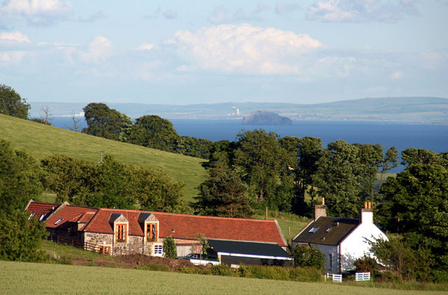
The reservoir is situated within the Balgeddie Estate, surrounded by lush greenery, rolling hills, and dense forestry. Its tranquil and serene atmosphere provides a perfect retreat for nature lovers and those seeking a peaceful escape from urban life.
Balmonth Reservoir serves as a vital water source for the surrounding agricultural lands and nearby communities. It is primarily fed by the Balmonth Burn, a small stream that originates from the neighboring hills. Additionally, it receives water from other local sources, ensuring a constant supply throughout the year.
The reservoir is home to a diverse range of flora and fauna. The surrounding wetlands and marshes serve as a natural habitat for various bird species, including ducks, swans, and herons, making it a haven for birdwatching enthusiasts. Additionally, the lake supports a healthy population of fish, such as trout and perch, attracting anglers who enjoy fishing in its tranquil waters.
Visitors to Balmonth Reservoir can partake in a variety of recreational activities. Fishing permits are available for those interested in angling, while the calm waters provide an excellent opportunity for kayaking and canoeing. The surrounding trails and paths are ideal for hiking and cycling, allowing visitors to explore the scenic beauty of the area.
Overall, Balmonth Reservoir offers a delightful natural environment, rich in biodiversity and recreational opportunities, making it a must-visit destination for nature enthusiasts and outdoor enthusiasts alike.
If you have any feedback on the listing, please let us know in the comments section below.
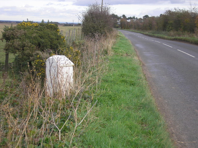
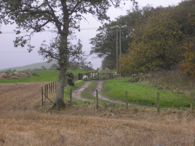
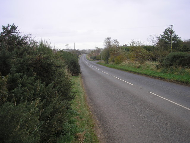
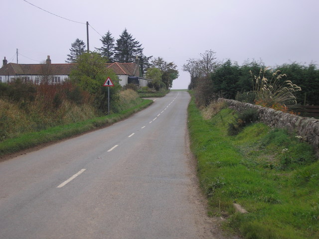
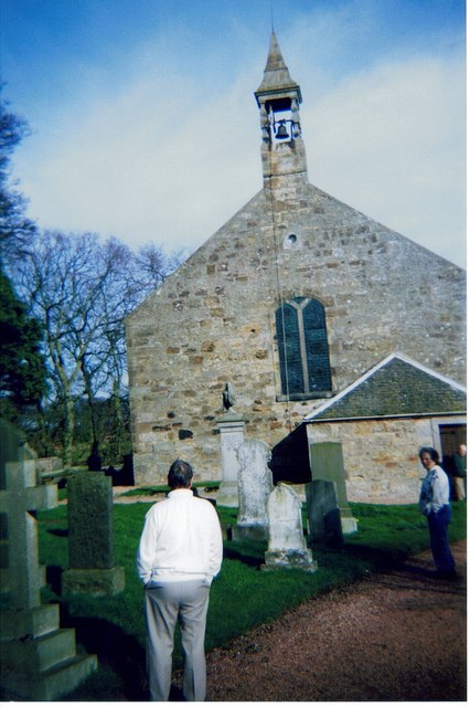
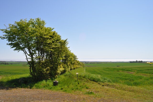
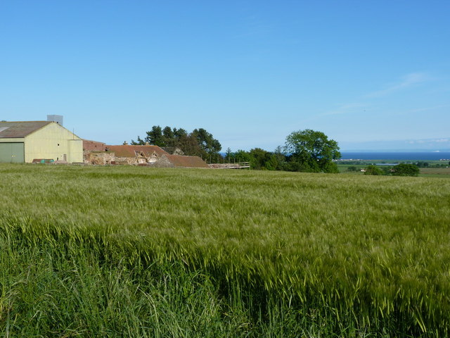
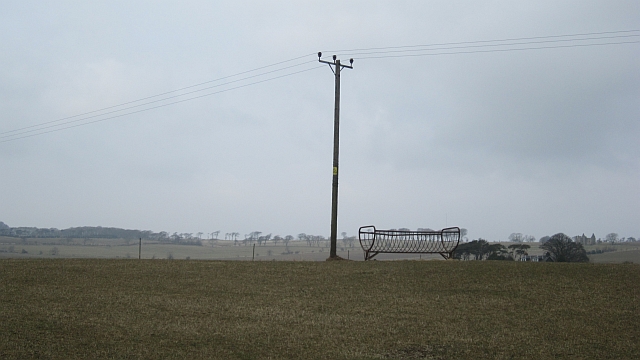
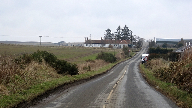
Balmonth Reservoir Images
Images are sourced within 2km of 56.252294/-2.740785 or Grid Reference NO5406. Thanks to Geograph Open Source API. All images are credited.


Balmonth Reservoir is located at Grid Ref: NO5406 (Lat: 56.252294, Lng: -2.740785)
Unitary Authority: Fife
Police Authority: Fife
What 3 Words
///downcast.bronzer.aliens. Near Anstruther, Fife
Nearby Locations
Related Wikis
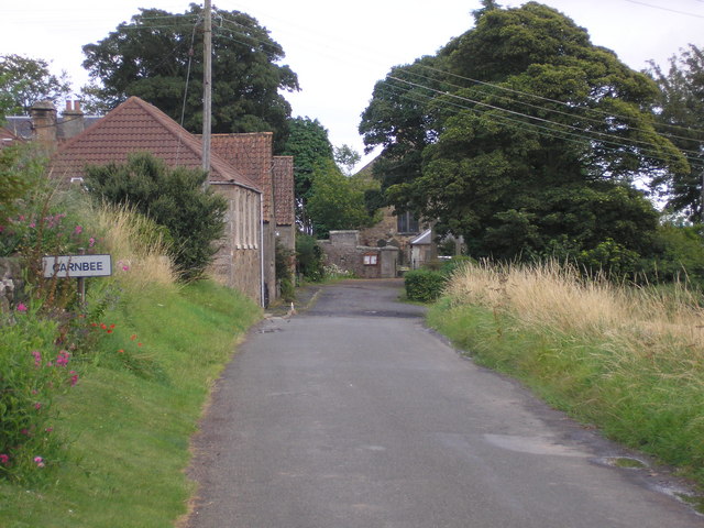
Carnbee, Fife
Carnbee is a village and rural parish in the inland part of the East Neuk of Fife, Scotland. == Location == It lies to the north of Anstruther and Pittenweem...
East Neuk
The East Neuk ( ) or East Neuk of Fife is an area of the coast of Fife, Scotland. "Neuk" is the Scots word for nook or corner, and the East Neuk is generally...

Kellie Castle
Kellie Castle is a castle just outside Arncroach and below the dominant hill in the area, Kellie Law. It is about 4 kilometres north of Pittenweem in...

Pittarthie Castle
Pittarthie Castle is the remains of what was a laird’s tower house in Fife, Scotland dating to the end of the sixteenth century. The ruins of the structure...
Nearby Amenities
Located within 500m of 56.252294,-2.740785Have you been to Balmonth Reservoir?
Leave your review of Balmonth Reservoir below (or comments, questions and feedback).