Birds Park Reservoir
Lake, Pool, Pond, Freshwater Marsh in Westmorland South Lakeland
England
Birds Park Reservoir
Birds Park Reservoir, located in Westmorland, is a picturesque freshwater body encompassing various aquatic habitats such as a lake, pool, pond, and freshwater marsh. Spanning over a substantial area, the reservoir serves as an important ecosystem supporting a diverse range of bird species and other wildlife.
The reservoir's lake, with its calm and serene waters, provides an ideal environment for boating and fishing activities. Anglers frequent the lake to try their luck at catching species like bass, trout, and catfish, which thrive in the reservoir's nutrient-rich waters. The lake's shorelines are adorned with lush vegetation, creating a scenic backdrop for visitors.
The pool and pond areas of the reservoir offer a more intimate setting for birdwatching enthusiasts. These smaller water bodies attract a plethora of bird species, including waterfowl such as ducks, geese, and herons. The tranquil and secluded nature of these areas provides a haven for nesting birds and offers excellent opportunities for observing their behavior and interactions.
Adjacent to the pond and pool, the freshwater marsh is a thriving ecosystem supporting a diverse array of plant and animal life. The marsh is characterized by its dense vegetation, including cattails, bulrushes, and various aquatic plants. This habitat is home to numerous bird species, amphibians, reptiles, and small mammals. Visitors can explore the marsh on designated trails or observation decks, immersing themselves in the sights and sounds of nature.
Birds Park Reservoir, with its varied aquatic habitats, is not only a haven for birds but also a destination for outdoor enthusiasts seeking to connect with nature. Whether one is interested in fishing, boating, birdwatching, or simply enjoying the tranquility of a natural setting, this reservoir offers a diverse range of experiences for visitors of all interests.
If you have any feedback on the listing, please let us know in the comments section below.
Birds Park Reservoir Images
Images are sourced within 2km of 54.333175/-2.7124304 or Grid Reference SD5393. Thanks to Geograph Open Source API. All images are credited.


Birds Park Reservoir is located at Grid Ref: SD5393 (Lat: 54.333175, Lng: -2.7124304)
Administrative County: Cumbria
District: South Lakeland
Police Authority: Cumbria
What 3 Words
///market.soon.clean. Near Kendal, Cumbria
Nearby Locations
Related Wikis

River Mint
The River Mint is a river in Cumbria, England. The Mint starts life at Whelpside at the confluence of Bannisdale Beck, running south-east from Bannisdale...
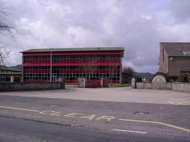
Queen Katherine School
The Queen Katherine School is an academy school located in Kendal, Cumbria, England. It is a co-educational facility for 11- to 18-year-olds and has around...
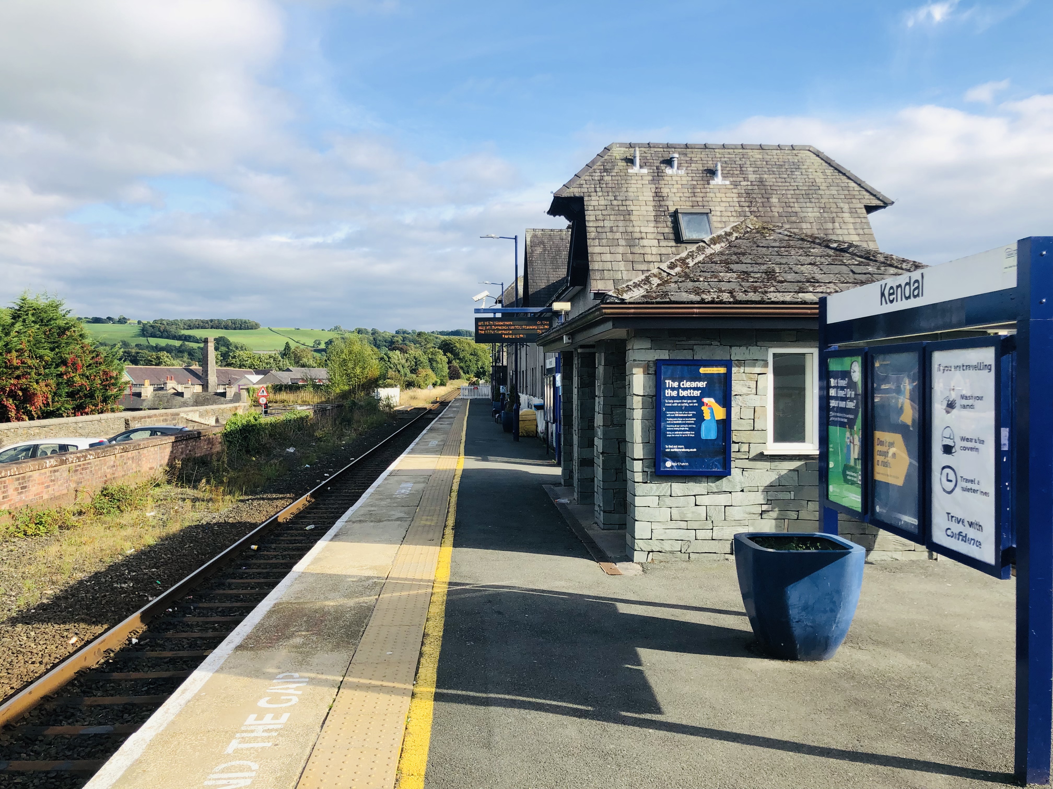
Kendal railway station
Kendal railway station is a railway station serving the market town of Kendal in Cumbria, England. The station is owned by Network Rail and is operated...
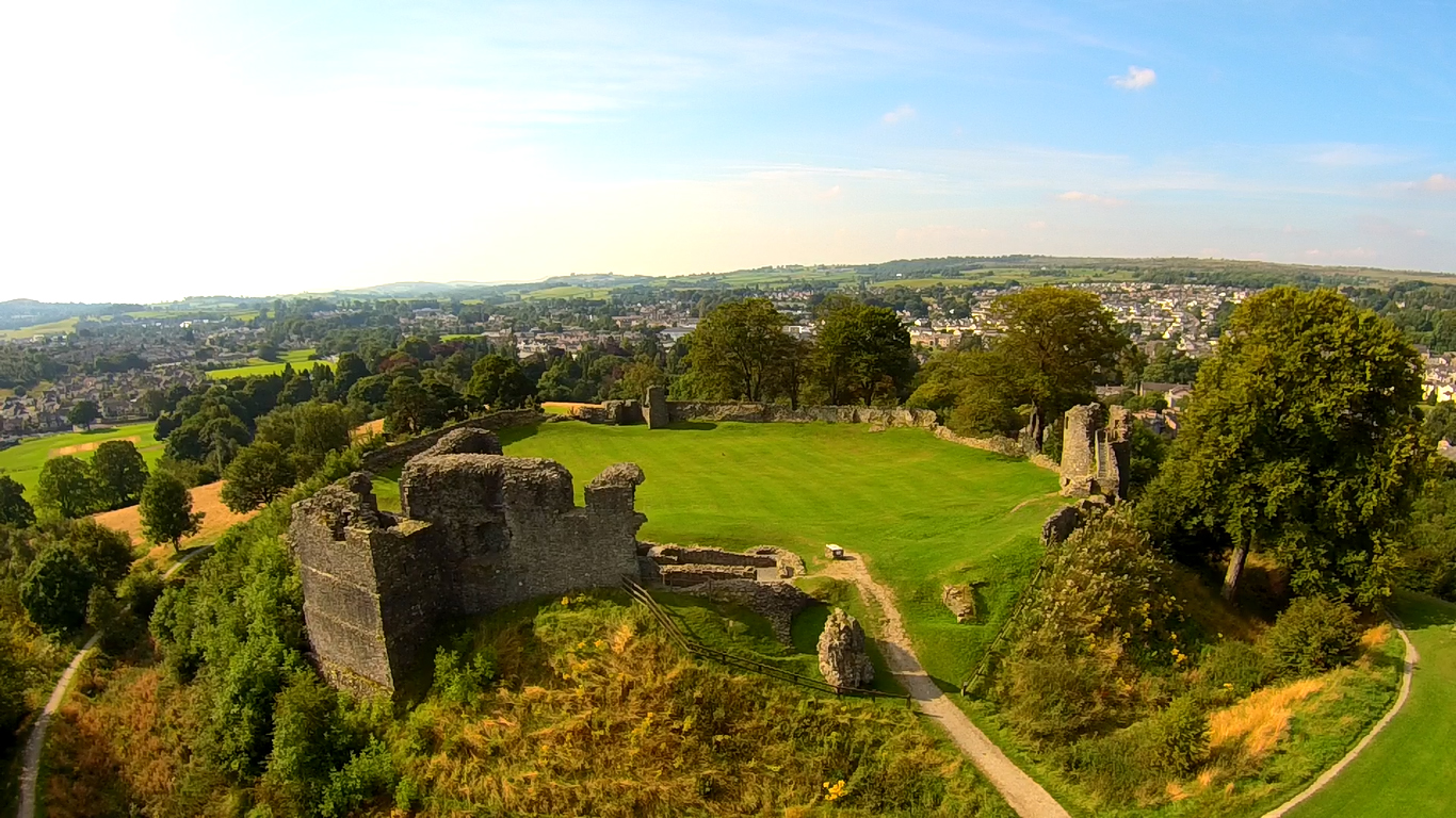
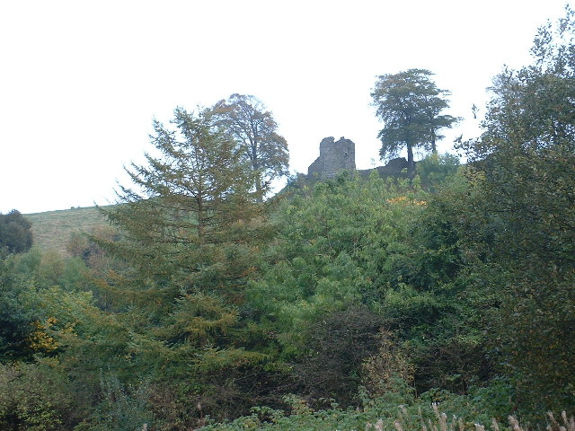
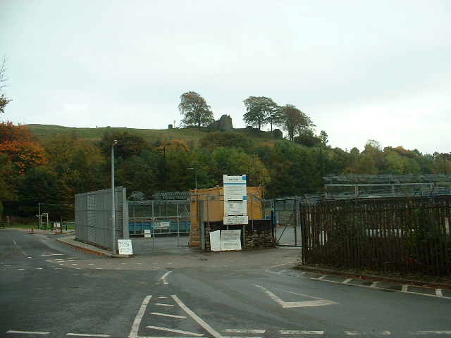
Kendal Castle
Kendal Castle is a medieval fortification to the east of the town of Kendal, Cumbria, in northern England. The castle, which is atop a glacial drumlin...

St George's Church, Kendal
St George's Church is in Castle Street, Kendal, Cumbria, England. It is an active Anglican parish church in the deanery of Kendal, the archdeaconry of...

The Castle Dairy
The Castle Dairy is a medieval building located in Kendal, Cumbria. The name implies a connection to Kendal Castle and it is possibly the town's oldest...

Netherfield Cricket Club
Netherfield Cricket Club Ground is a cricket ground in Kendal, Cumbria (formerly part of Westmorland). The first recorded match on the ground was in 1893...
Kendal Museum
Kendal Museum is a local museum in Kendal, Cumbria, on the edge of the Lake District in northwest England. It was founded in 1796 and includes collections...
Nearby Amenities
Located within 500m of 54.333175,-2.7124304Have you been to Birds Park Reservoir?
Leave your review of Birds Park Reservoir below (or comments, questions and feedback).