Burtree Bank Pond

Lake, Pool, Pond, Freshwater Marsh in Westmorland Eden

England

Burtree Bank Pond

Thrimby Cottages Underpass. The tunnel is under the M6 and is very difficult to see on the maps.
Thrimby Cottages Underpass. Credit: John Holmes

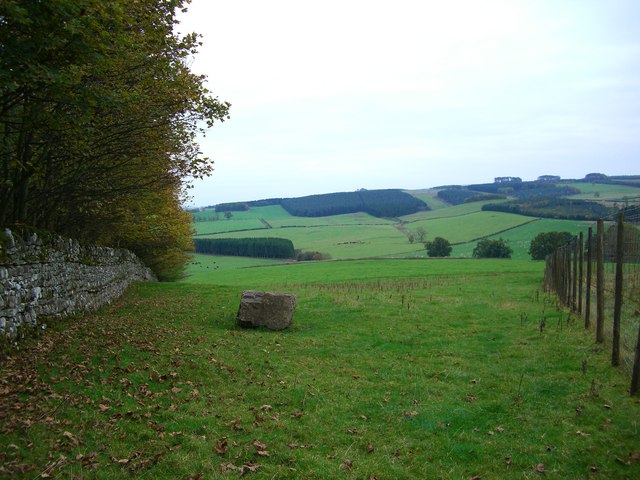
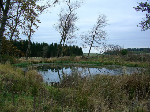
Burtree Bank Pond, located in Westmorland, is a picturesque freshwater marsh situated amidst the tranquil countryside. Covering an area of approximately 2 hectares, this enchanting body of water offers a diverse ecosystem and stunning natural beauty.

The pond is home to a variety of aquatic flora and fauna, making it an ideal habitat for a range of species. The water surface is adorned with vibrant water lilies, creating a colorful spectacle during the bloom season. The surrounding marshland is lush with reeds and grasses that provide shelter and nesting sites for numerous bird species.

The pond itself is relatively shallow, with an average depth of about 2 meters. This makes it a perfect spot for wading birds, such as herons and egrets, to forage for fish and amphibians. Additionally, the pond attracts a host of other wildlife, including dragonflies, frogs, and various insect species.

Burtree Bank Pond is a popular destination for nature enthusiasts and birdwatchers alike. Its serene atmosphere and abundance of wildlife make it an ideal location for quiet walks and observing the natural world. The surrounding area offers picturesque views of the rolling hills and the nearby Lake District, adding to the overall appeal of the location.

Visitors to Burtree Bank Pond can enjoy the peaceful surroundings and take in the sights and sounds of nature. Whether it's the gentle rustling of the reeds or the melodious calls of the birds, this freshwater marsh is a haven for those seeking solace in the beauty of the natural world.

If you have any feedback on the listing, please let us know in the comments section below.

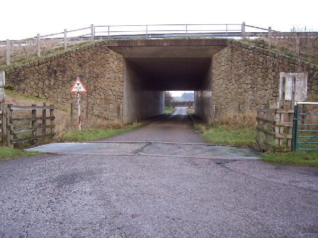
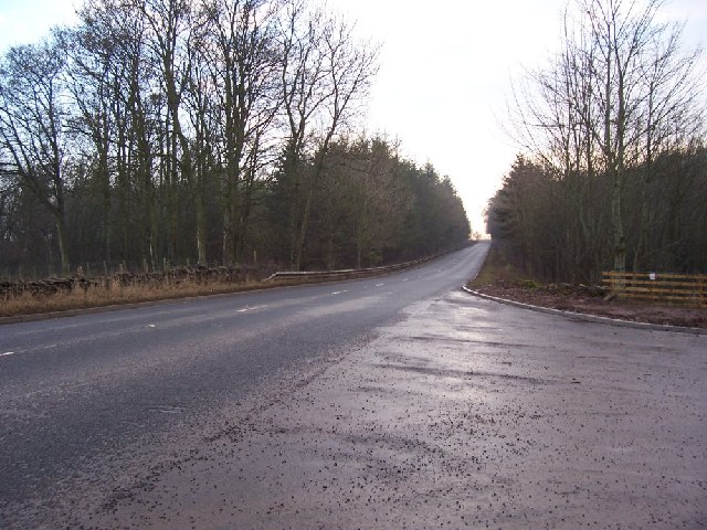
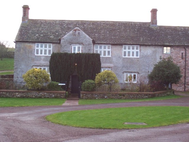
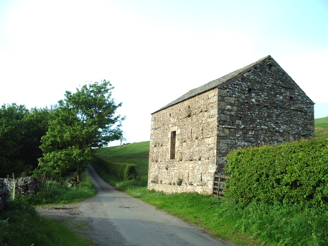
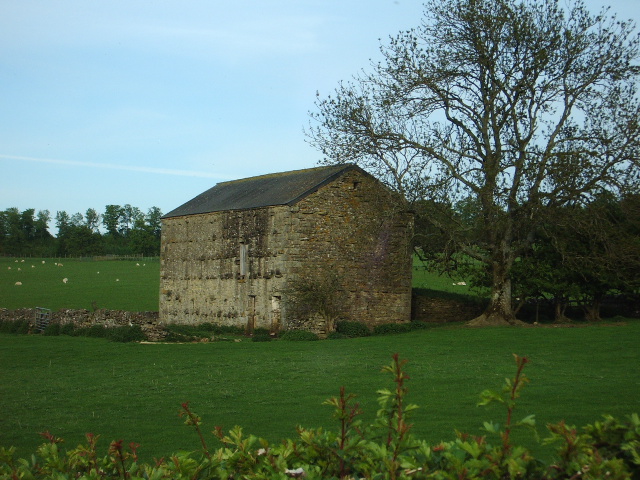
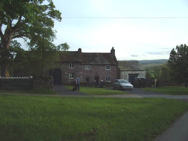
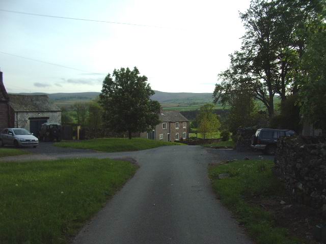
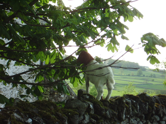
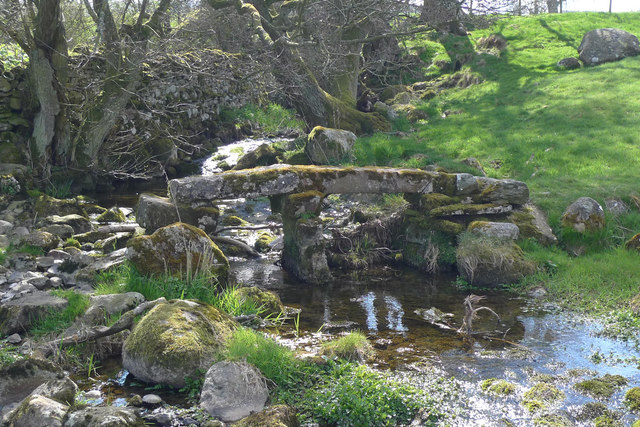
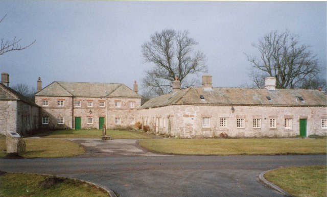
Burtree Bank Pond Images

Images are sourced within 2km of 54.583434/-2.7196694 or Grid Reference NY5321. Thanks to Geograph Open Source API. All images are credited.

Thrimby Cottages Underpass. The tunnel is under the M6 and is very difficult to see on the maps.
Thrimby Cottages Underpass.
The tunnel is under the M6 and is very difficult to see on the maps.
New Entrance to Development. The old quarry is being used for a new development and the entrance opens onto the A6.
New Entrance to Development.
The old quarry is being used for a new development and the entrance opens onto the A6.
Hackthorpe Hall. Presumably linked to agriculture this area has developed into an out of town business development.
Hackthorpe Hall.
Presumably linked to agriculture this area has developed into an out of town business development.
Barn The "C" class road runs north to Askham 4kms away, the woodland to the left is the southern point of Nelly's Wood.
Barn
The "C" class road runs north to Askham 4kms away, the woodland to the left is the southern point of Nelly's Wood.
Barn Barn .5km south of the hamlet of Whale
Barn
Barn .5km south of the hamlet of Whale
Whale Small hamlet on the east side of the Bampton Grange Askham road.
Whale
Small hamlet on the east side of the Bampton Grange Askham road.
Whale Looking west down the road from the Bampton Grange Askham road
Whale
Looking west down the road from the Bampton Grange Askham road
Goat This young goat was enjoying a nice meal of young tender horse chestnut leaves before I disturbed it.
Goat
This young goat was enjoying a nice meal of young tender horse chestnut leaves before I disturbed it.
Parkland & Limestone Bluff The Lowther Estate.Managed Parkland close to Lowther Castle.
Parkland & Limestone Bluff
The Lowther Estate.Managed Parkland close to Lowther Castle.
Farmland on the Lowther Estate
Fishing pond on Lowther Estate
Whalemoor
Whalemoor
Lime Kiln near Whalemoor
Main road and milepost near Little Strickland The old rusty milepost stands beside the A6.
Milestones/posts are the original roadside heritage features with many dating back hundreds of years and these historic items are under threat from highway developments.
Main road and milepost near Little Strickland
The old rusty milepost stands beside the A6. Milestones/posts are the original roadside heritage features with many dating back hundreds of years and these historic items are under threat from highway developments.
Milepost near Little Strickland The milespost is very rusty and eroded.  It is dated 1825.  For a wider view <a href="https://www.geograph.org.uk/photo/1878311">NY5520 : Main road and milepost near Little Strickland</a>
Milestones/posts did not come into general use until the Turnpike Act of 1766 made them compulsory on turnpike roads, these roads were built by private enterprise under licence from the Government and maintained by tolls on those who used them.  Before this Act milestones were put up occasionally, often as charitable acts and commemorations.   Many Turnpike Act stones still exist.  They are usually 2-3 ft high, with the initial letter or abbreviation of the nearest market town show on two faces, and the distance from it.
Milepost near Little Strickland
The milespost is very rusty and eroded. It is dated 1825. For a wider view NY5520 : Main road and milepost near Little Strickland Milestones/posts did not come into general use until the Turnpike Act of 1766 made them compulsory on turnpike roads, these roads were built by private enterprise under licence from the Government and maintained by tolls on those who used them. Before this Act milestones were put up occasionally, often as charitable acts and commemorations. Many Turnpike Act stones still exist. They are usually 2-3 ft high, with the initial letter or abbreviation of the nearest market town show on two faces, and the distance from it.
Clapper bridge, Whale This stone footbridge crosses a small stream south of Whale. The path is on the Westmorland Way.
Clapper bridge, Whale
This stone footbridge crosses a small stream south of Whale. The path is on the Westmorland Way.
Pasture north of Whale In the distance, on the other side of the River Lowther, is Helton.
Pasture north of Whale
In the distance, on the other side of the River Lowther, is Helton.
River Lowther The river turns north to form the boundary of Lowther Park.
River Lowther
The river turns north to form the boundary of Lowther Park.
Show me another place!

Burtree Bank Pond is located at Grid Ref: NY5321 (Lat: 54.583434, Lng: -2.7196694)

Administrative County: Cumbria

District: Eden

Police Authority: Cumbria

What 3 Words

///vocab.nuns.chatters. Near Shap, Cumbria

Related Wikis

Whale, Cumbria

Whale is a hamlet in the Westmorland and Furness unitary authority area, Cumbria, England. Historically in Westmorland, it is about a mile south of the...

Lowther, Cumbria

Lowther is a civil parish in Westmorland and Furness, Cumbria. Within the parish are the settlements of Lowther Village, Newtown or Lowther Newtown, Hackthorpe...

Thrimby

Thrimby is a hamlet and former civil parish, now in the parish of Little Strickland, in the Eden district of Cumbria, England. In 2001 the population of...

Hackthorpe

Hackthorpe is a hamlet in the Eden district, in the county of Cumbria, England. Circa 1870, it had a population of 110 as recorded in the Imperial Gazetteer...

Nearby Amenities

Located within 500m of 54.583434,-2.7196694
Burtree Bank
Place: locality
Lat/Long: 54.5840315/-2.7233235
The data included in this document is from www.openstreetmap.org. The data is made available under ODbL.

Have you been to Burtree Bank Pond?

Leave your review of Burtree Bank Pond below (or comments, questions and feedback).