Bealings, Great
Settlement in Suffolk East Suffolk
England
Bealings, Great

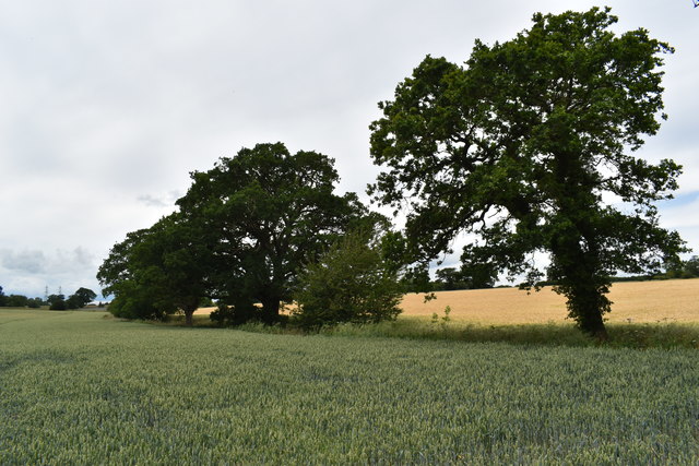
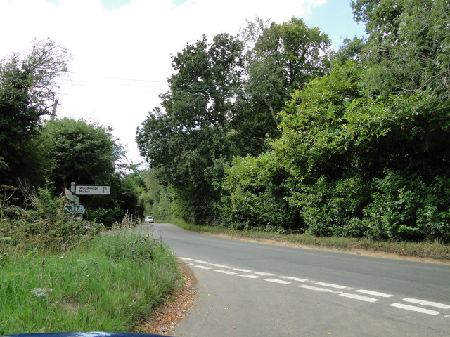
Bealings is a small village located in the county of Suffolk, in the eastern part of England. Situated approximately 7 miles north of the town of Woodbridge, Bealings is part of the civil parish of Great Bealings. The village lies in the picturesque countryside, surrounded by rolling hills and farmland.
The history of Bealings can be traced back to the Domesday Book, where it is mentioned as "Belinges." Over the centuries, the village has maintained its rural charm, with traditional thatched-roof cottages and historic buildings dotting the landscape.
The village is home to a close-knit community, with a population of around 400 residents. It offers a peaceful and tranquil environment, making it an ideal place for those seeking a quieter lifestyle. Despite its small size, Bealings has a strong sense of community spirit, with various local events and activities organized throughout the year.
One of the notable features of Bealings is its close proximity to the River Deben, which flows just to the east of the village. The river provides opportunities for scenic walks along its banks and is popular among boating enthusiasts. The surrounding countryside also offers numerous walking and cycling trails, allowing residents and visitors to explore the natural beauty of the area.
While Bealings does not have its own shops or amenities, it benefits from its proximity to nearby towns such as Woodbridge and Ipswich, where residents can find a range of services, shops, and leisure facilities. Overall, Bealings is a picturesque village that offers a peaceful and idyllic setting for those looking to escape the hustle and bustle of city life.
If you have any feedback on the listing, please let us know in the comments section below.
Bealings, Great Images
Images are sourced within 2km of 52.093462/1.258384 or Grid Reference TM2348. Thanks to Geograph Open Source API. All images are credited.


Bealings, Great is located at Grid Ref: TM2348 (Lat: 52.093462, Lng: 1.258384)
Administrative County: Suffolk
District: East Suffolk
Police Authority: Suffolk
What 3 Words
///dips.importers.appealed. Near Grundisburgh, Suffolk
Nearby Locations
Related Wikis
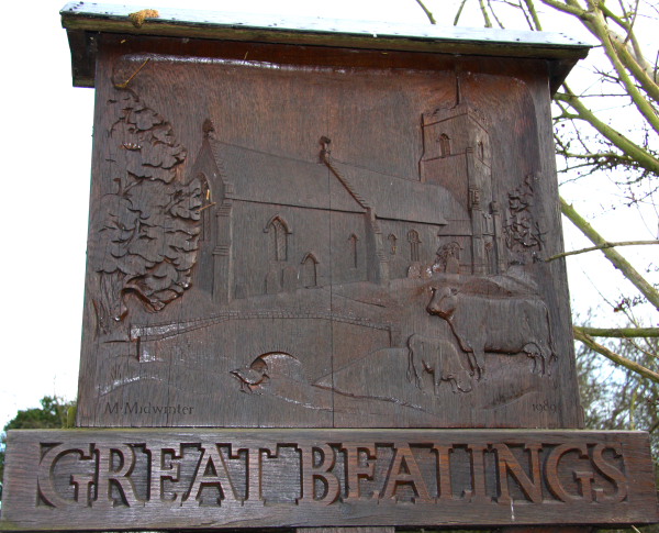
Great Bealings
Great Bealings is a small village in Suffolk, England. It has about 302 people living in it in around 113 households. Its nearest towns are Ipswich...
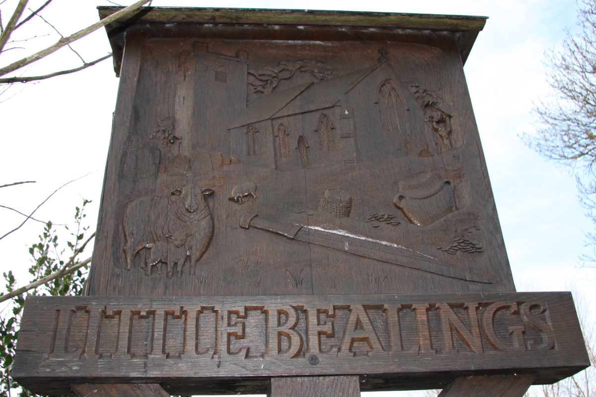
Little Bealings
Little Bealings is a village in Suffolk, England. It has a population of approximately 470 people living in around 185 households. The population had...

Carlford Hundred
Carlford is a hundred of Suffolk, consisting of 25,461 acres (103.04 km2).Carford Hundred is of an irregular figure about ten miles (16 km) in length and...
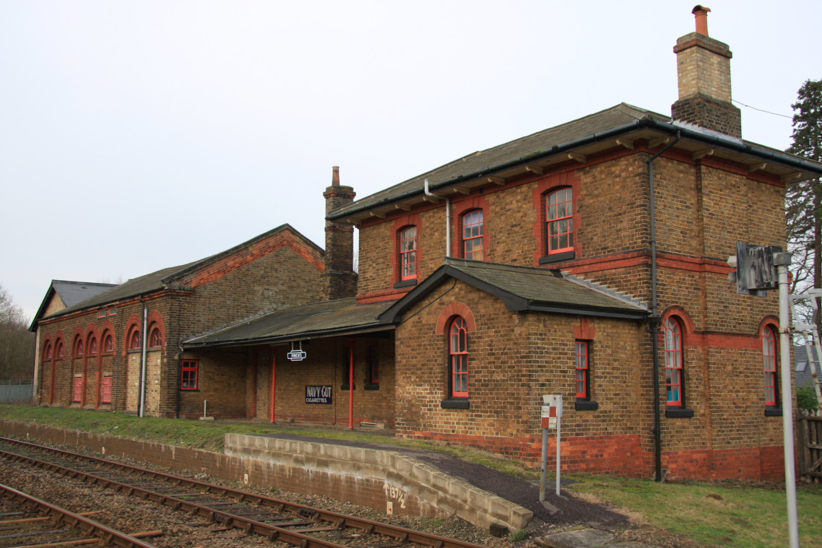
Bealings railway station
Bealings railway station was a station in Little Bealings, Suffolk, on the line between Ipswich and Lowestoft. It was 7 miles 20 chains (11.7 km) down...
Nearby Amenities
Located within 500m of 52.093462,1.258384Have you been to Bealings, Great?
Leave your review of Bealings, Great below (or comments, questions and feedback).