Firs Pond
Lake, Pool, Pond, Freshwater Marsh in Dorset
England
Firs Pond

First Pond is a serene freshwater pond located in the county of Dorset, England. Nestled amidst the picturesque landscape, this natural marvel is a beloved spot for locals and visitors alike. Despite its name, First Pond is not actually a pond but rather a small lake, covering an area of approximately 2 acres.
Surrounded by lush greenery, the lake boasts crystal-clear waters that reflect the beauty of its surroundings. The shoreline is mostly lined with reeds and various species of aquatic plants, creating a vibrant and diverse ecosystem. This freshwater marsh provides a habitat for an array of wildlife, including waterfowl, amphibians, and insects.
The calm and tranquil atmosphere of First Pond makes it an ideal location for nature enthusiasts seeking solace or relaxation. Visitors can enjoy a peaceful stroll along the well-maintained footpaths that encircle the lake or find a quiet spot along the banks for a picnic. Anglers are also drawn to the pond, as it is home to a variety of fish species, including roach, perch, and carp.
The beauty of First Pond is further enhanced by the presence of several bird species that visit or reside in the area. Birdwatchers can catch sight of kingfishers darting across the water, as well as swans gracefully gliding along its surface. Additionally, the surrounding woodlands provide a habitat for songbirds that fill the air with their melodious tunes.
In conclusion, First Pond in Dorset is a captivating freshwater lake that offers a tranquil and scenic experience for all nature enthusiasts. Its diverse ecosystem, stunning landscapes, and abundant wildlife make it a true gem within the region.
If you have any feedback on the listing, please let us know in the comments section below.
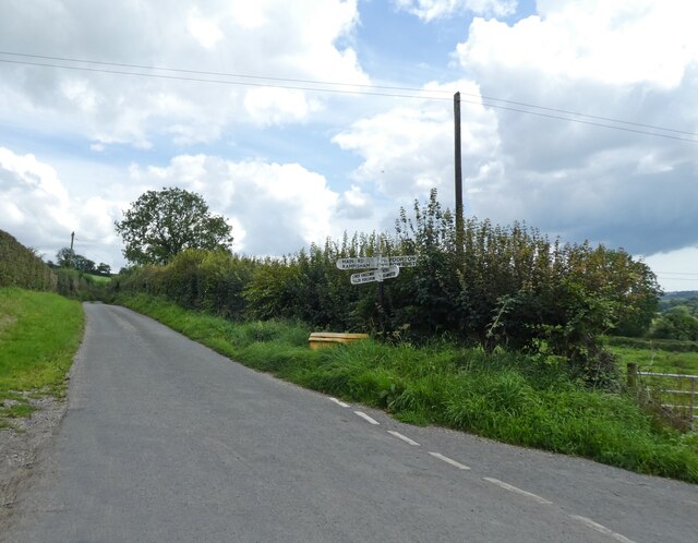
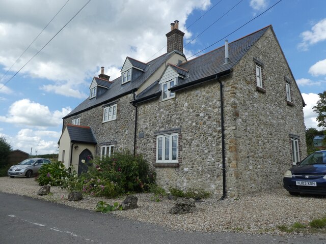
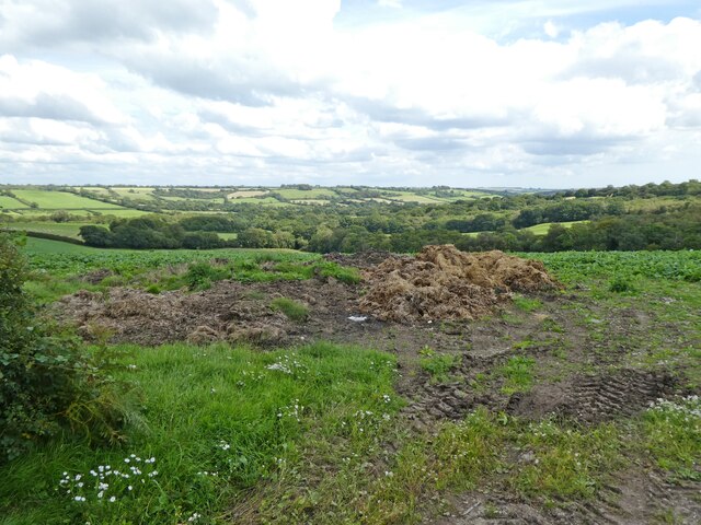
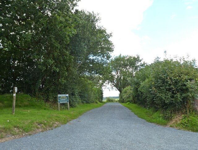
Firs Pond Images
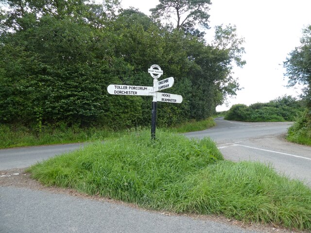
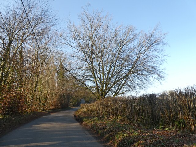
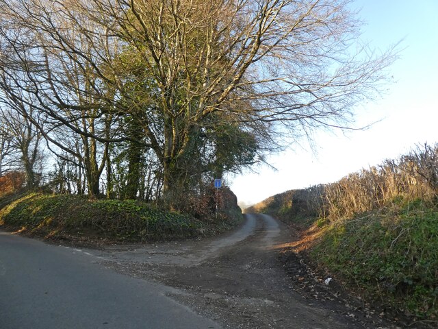
Images are sourced within 2km of 50.800644/-2.6643292 or Grid Reference ST5300. Thanks to Geograph Open Source API. All images are credited.


Firs Pond is located at Grid Ref: ST5300 (Lat: 50.800644, Lng: -2.6643292)
Unitary Authority: Dorset
Police Authority: Dorset
What 3 Words
///magazines.bonds.section. Near Beaminster, Dorset
Nearby Locations
Related Wikis
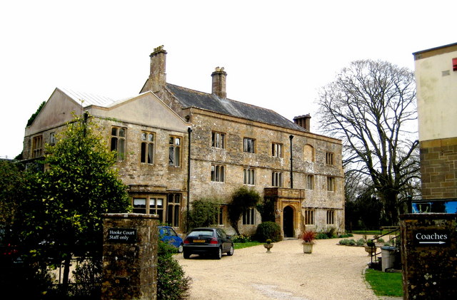
Hooke Court
Hooke Court is a 17th-century manor house in the parish of Hooke in Dorset, England. It is a Grade II* listed building built around the time of the English...

Hooke, Dorset
Hooke is a small village and civil parish in the county of Dorset in southern England, situated about 7 miles (11 km) northeast of the town of Bridport...

Warren Hill, Hooke, Dorset
Warren Hill is a prominent elevation, 215 metres (705 ft) high, 1 kilometre southwest of the hamlet of Hooke, in the county of Dorset in southern England...
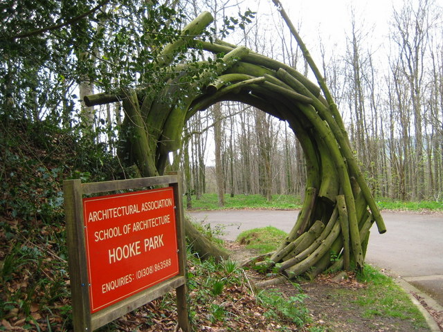
Hooke Park
Hooke Park is a 142 hectare woodland in Dorset, South West England located near the town of Beaminster and within the Dorset Area of Outstanding Natural...
Nearby Amenities
Located within 500m of 50.800644,-2.6643292Have you been to Firs Pond?
Leave your review of Firs Pond below (or comments, questions and feedback).