Rescobie Loch

Lake, Pool, Pond, Freshwater Marsh in Angus

Scotland

Rescobie Loch

Potato Field at Reswallie
Potato Field at Reswallie Credit: Sandy Gerrard

Rescobie Loch, located in Angus, Scotland, is a tranquil freshwater loch that spans an area of approximately 66 hectares. It is a popular destination for outdoor enthusiasts, nature lovers, and anglers alike. The loch is situated on a natural basin formed by glacial activity during the last Ice Age.

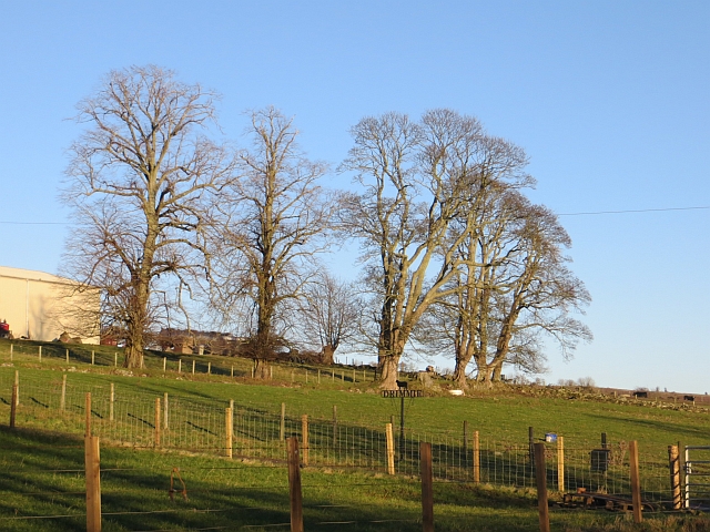
Surrounded by lush greenery and rolling hills, Rescobie Loch offers a picturesque landscape that is both peaceful and serene. The water itself is crystal clear, reflecting the beauty of the surrounding scenery. The loch is fed by a number of small streams that flow into it, ensuring a constant supply of fresh water.

Rescobie Loch is home to a diverse range of flora and fauna, making it a haven for wildlife enthusiasts. The loch provides habitat for a variety of bird species, including the great crested grebe, tufted duck, and mute swan. It is also a popular breeding ground for waterfowl, with many species nesting in the reed beds that line the shore.

Angling is a popular activity at Rescobie Loch, with the loch being well-stocked with brown trout and rainbow trout. Anglers can be seen casting their lines from the banks or from small boats that can be hired at the on-site boathouse. The loch is known for its excellent fishing opportunities and regularly hosts angling competitions.

Overall, Rescobie Loch is a hidden gem in Angus, offering a serene and picturesque setting for outdoor activities, wildlife spotting, and angling. Its natural beauty and diverse ecosystem make it a must-visit destination for those seeking a peaceful retreat in the heart of Scotland.

If you have any feedback on the listing, please let us know in the comments section below.

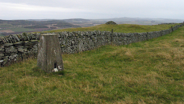
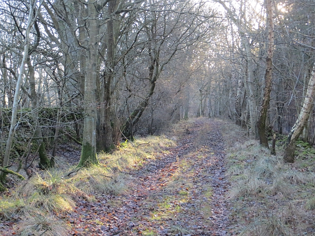
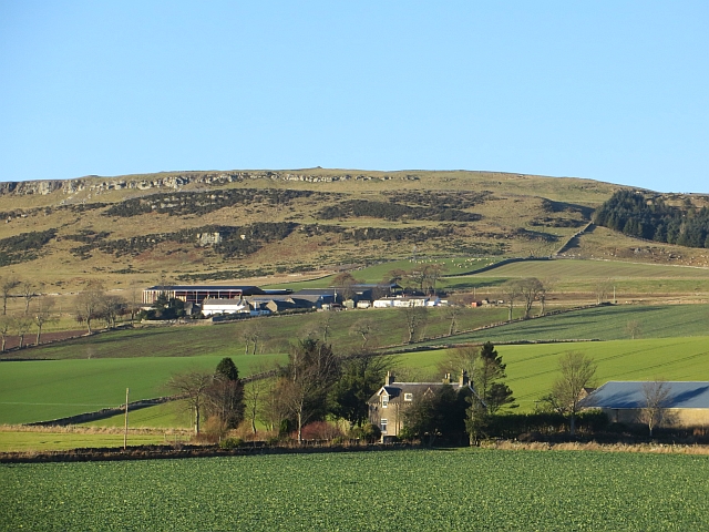
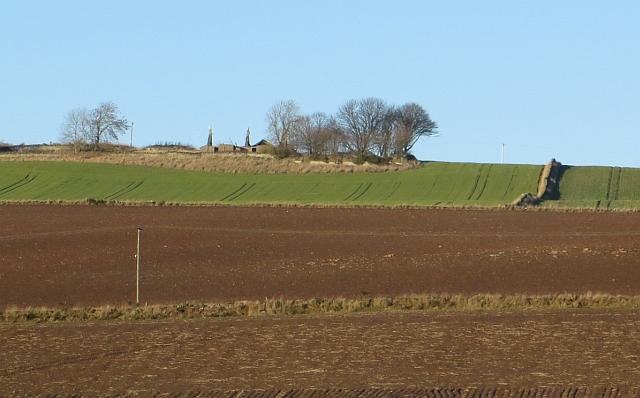
Rescobie Loch Images

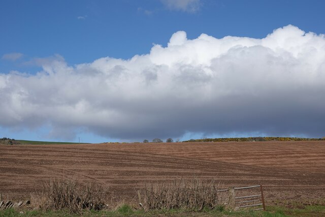
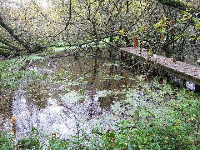
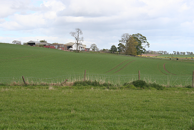
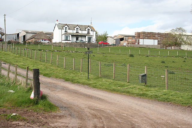
Images are sourced within 2km of 56.654423/-2.7960212 or Grid Reference NO5151. Thanks to Geograph Open Source API. All images are credited.

Potato Field at Reswallie
Field near Rescobie Loch Newly ploughed and sewn field near Rescobie Loch.
Field near Rescobie Loch
Newly ploughed and sewn field near Rescobie Loch.
South-western corner of Balgavies Loch Looking from the south-western corner to a partly frozen Balgavies Loch with attendant wildlife.
South-western corner of Balgavies Loch
Looking from the south-western corner to a partly frozen Balgavies Loch with attendant wildlife.
Autumn at Balgavies Loch Mixed woodland changing colour on the track at the western end of the Loch.
Autumn at Balgavies Loch
Mixed woodland changing colour on the track at the western end of the Loch.
Pool by Balgavies Loch With access for pond dipping - an essential at any wildlife reserve.
Pool by Balgavies Loch
With access for pond dipping - an essential at any wildlife reserve.
The Forfar-Arbroath railway line Long disused, it now forms an attractive path through the SWT Balgavies Loch Wildlife Reserve.
The Forfar-Arbroath railway line
Long disused, it now forms an attractive path through the SWT Balgavies Loch Wildlife Reserve.
Balgavies Loch Wildlife Reserve A kettle hole loch, fomed by water filling the hole left by a stranded chunk of ice after the retreat of the last glaciation - 8-10000 years ago. Now a good place for birds and other wildlife throughout the year. Seen from the old Forfar-Arbroath railway line, which now forms a path along the northern side of the loch.
Balgavies Loch Wildlife Reserve
A kettle hole loch, fomed by water filling the hole left by a stranded chunk of ice after the retreat of the last glaciation - 8-10000 years ago. Now a good place for birds and other wildlife throughout the year. Seen from the old Forfar-Arbroath railway line, which now forms a path along the northern side of the loch.
Calocera viscosa A jelly fungus that grows on dead coniferous wood, in this case a fallen and almost dead larch at Balgavies Loch Wildlife Reserve <a href="https://www.geograph.org.uk/photo/2630386">NO5251 : Fallen larch at Balgavies Loch</a>. Sometimes called 'Stag's horn fungus', but that name is more often used for the black and white candle snuff fungus [Xylaria hypoxylon <a href="https://www.geograph.org.uk/photo/1080856">SN0239 : Candle snuff fungus (Xylaria hypoxylon)</a>], which shows that even 'common' or 'English' names can cause as much confusion as the Latin ones.
Calocera viscosa
A jelly fungus that grows on dead coniferous wood, in this case a fallen and almost dead larch at Balgavies Loch Wildlife Reserve NO5251 : Fallen larch at Balgavies Loch. Sometimes called 'Stag's horn fungus', but that name is more often used for the black and white candle snuff fungus [Xylaria hypoxylon SN0239 : Candle snuff fungus (Xylaria hypoxylon)], which shows that even 'common' or 'English' names can cause as much confusion as the Latin ones.
Fallen larch at Balgavies Loch Over, but not quite dead - there are a few green branches at the tip. The jelly fungus Calocera viscosa <a href="https://www.geograph.org.uk/photo/2630384">NO5251 : Calocera viscosa</a> can just be seen as an orange dot in the centre.
Fallen larch at Balgavies Loch
Over, but not quite dead - there are a few green branches at the tip. The jelly fungus Calocera viscosa NO5251 : Calocera viscosa can just be seen as an orange dot in the centre.
Path at Balgavies Loch The old Arbroath-Forfar railway line bed, which makes a good path along the north side of the loch.
Path at Balgavies Loch
The old Arbroath-Forfar railway line bed, which makes a good path along the north side of the loch.
Old grassland at the Balgavies Loch Wildlife reserve Scrub and wildflower meadow vegetation in an open part of the reserve, interestingly rich in wax-cap fungi. The wall in the distance marks the line of the Arbroath-Forfar railway, now disused.
Old grassland at the Balgavies Loch Wildlife reserve
Scrub and wildflower meadow vegetation in an open part of the reserve, interestingly rich in wax-cap fungi. The wall in the distance marks the line of the Arbroath-Forfar railway, now disused.
Drimmie Farm Viewed from near the parish kirk. A substantial farm on good arable land, set just up the slope from Rescobie Loch.
Drimmie Farm
Viewed from near the parish kirk. A substantial farm on good arable land, set just up the slope from Rescobie Loch.
Drimmie from the B9113 The farm house and buildings are sited a little way uphill from the B9113 which follows the north shore of Rescobie Loch.
Drimmie from the B9113
The farm house and buildings are sited a little way uphill from the B9113 which follows the north shore of Rescobie Loch.
Trig point on Turin Hill Turin Hill is the location of considerable Iron Age history; see - <span class="nowrap"><a title="http://canmore.rcahms.gov.uk/en/site/34899/details/turin+hill/" rel="nofollow ugc noopener" href="http://canmore.rcahms.gov.uk/en/site/34899/details/turin+hill/">Link</a><img style="margin-left:2px;" alt="External link" title="External link - shift click to open in new window" src="https://s1.geograph.org.uk/img/external.png" width="10" height="10"/></span>.
A dry stone wall crosses the top of the hill close to which is the trig point bearing the flush bracket, S4480.
Trig point on Turin Hill
Turin Hill is the location of considerable Iron Age history; see - LinkExternal link. A dry stone wall crosses the top of the hill close to which is the trig point bearing the flush bracket, S4480.
Woodland path The path crosses the wetland area between Rescobie Loch and Balgavies Loch.
Woodland path
The path crosses the wetland area between Rescobie Loch and Balgavies Loch.
Nethermuir View towards Turin Hill.
Nethermuir
View towards Turin Hill.
Turin Knaps Ruin on the slopes of Turin Hill.
Turin Knaps
Ruin on the slopes of Turin Hill.
Drimmie A clump of trees beside Drimmie
Drimmie
A clump of trees beside Drimmie
Show me another place!

Rescobie Loch is located at Grid Ref: NO5151 (Lat: 56.654423, Lng: -2.7960212)

Unitary Authority: Angus

Police Authority: Tayside

What 3 Words

///swooning.delay.fidelity. Near Letham, Angus

Nearby Locations

Rescobie Loch

Related Wikis

Rescobie Loch

Rescobie Loch is a post glacial fresh water body located in the parish of Rescobie, 4 km (2.5 mi) to the East of Forfar, in the county of Angus, Scotland...

Clocksbriggs railway station

Clocksbriggs railway station served the town of Forfar, Angus, Scotland from 1848 to 1964 on the Arbroath and Forfar Railway. == History == The station...

Loch Fithie

Loch Fithie is a small, lowland freshwater loch lying approximately 2 miles (3.2 km) east of Forfar, Scotland. It is approximately 800 m (2,600 ft) in...

Auldbar Road railway station

Auldbar Road railway station was located near the town of Guthrie in the Scottish county of Angus. == History == Opened by the Arbroath and Forfar Railway...

Dunnichen

Dunnichen (Scots pronunciation: [dəˈnɪxən]; Scottish Gaelic: Dùn Eachain) is a small village in Angus, Scotland, situated between Letham and Forfar. It...

Restenneth Priory

Restenneth Priory was a monastic house of Augustinian canons founded by Jedburgh Abbey, with the patronage of King Malcolm IV of Scotland, in 1153. Although...

Letham, Angus

Letham (Scots pronunciation: [ˈlɛθəm]) is a village in Angus, Scotland. Letham is the largest village in Angus, with a population of nearly 2,000. Situated...

Bowriefauld

Bowriefauld is a village in Angus, Scotland.

Nearby Amenities

Located within 500m of 56.654423,-2.7960212
Bus Stop
Greenhead Road End
Naptan AtcoCode: 6490IM1086
Naptan Bearing: E
Naptan BusStopType: CUS
Naptan CommonName: Greenhead Road End
Naptan Indicator: opp Road End
Naptan Landmark: Greenhead Road End
Naptan NaptanCode: 26426492
Naptan Street: A932
Naptan Verified: no
Source: naptan_import
Lat/Long: 56.6511818/-2.793794
Bus Stop
Greenhead Road End
Naptan AtcoCode: 6490IM984
Naptan Bearing: E
Naptan BusStopType: CUS
Naptan CommonName: Greenhead Road End
Naptan Indicator: at Road End
Naptan Landmark: Greenhead Road End
Naptan NaptanCode: 26424624
Naptan Street: A932
Naptan Verified: no
Source: naptan_import
Lat/Long: 56.6510401/-2.7934811
Kirk Hill
Ele: 67
Natural: hill
Place: locality
Lat/Long: 56.6541554/-2.802283
Lochside
Place: isolated_dwelling
Lat/Long: 56.6517064/-2.8010406
Lochview Cottage
Place: isolated_dwelling
Lat/Long: 56.6502673/-2.797779
Power: pole
Lat/Long: 56.6501297/-2.7980098
The data included in this document is from www.openstreetmap.org. The data is made available under ODbL.

Have you been to Rescobie Loch?

Leave your review of Rescobie Loch below (or comments, questions and feedback).