Great Barford

Settlement in Bedfordshire

England

Great Barford

High Street, Great Barford
High Street, Great Barford Credit: David Howard

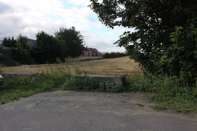
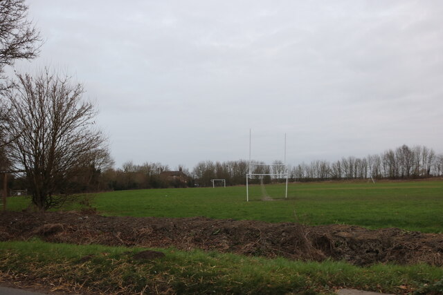
Great Barford is a small village located in Bedfordshire, England. Situated along the River Great Ouse, the village is known for its picturesque countryside views and charming rural atmosphere. The village has a population of around 2,000 residents and is well-connected to nearby towns and cities such as Bedford and Cambridge.

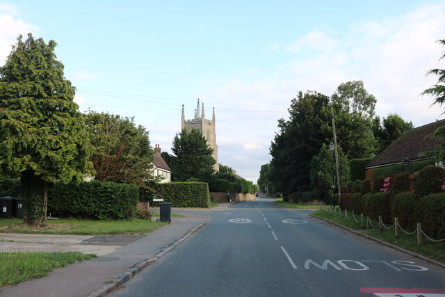
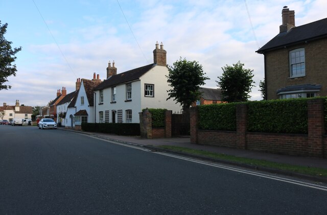
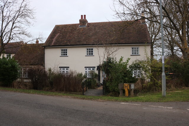
Great Barford has a rich history dating back to the medieval period, with the Grade I listed St Mary's Church being a prominent historical landmark in the village. The village also has a number of traditional thatched cottages and historic buildings, adding to its quaint and traditional English village charm.

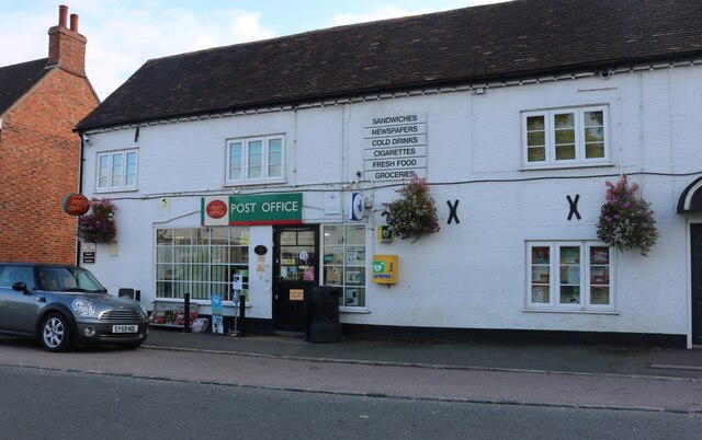
In terms of amenities, Great Barford has a primary school, village hall, post office, and several local shops and pubs. The village also has a strong sense of community, with regular events and activities organized by local residents.

Overall, Great Barford is a peaceful and idyllic village, offering a tranquil escape from the hustle and bustle of city life while still providing convenient access to urban centers.

If you have any feedback on the listing, please let us know in the comments section below.

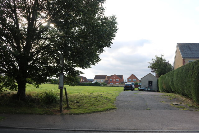
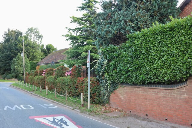
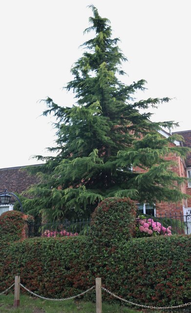
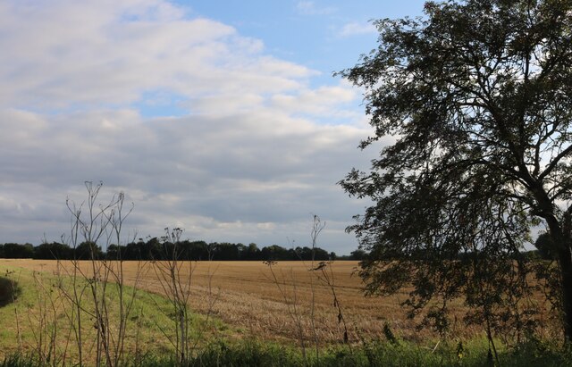
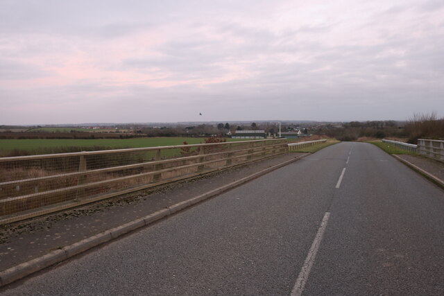
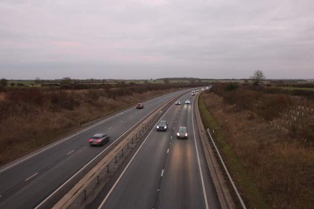
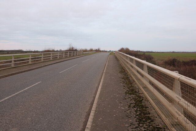
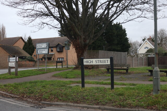
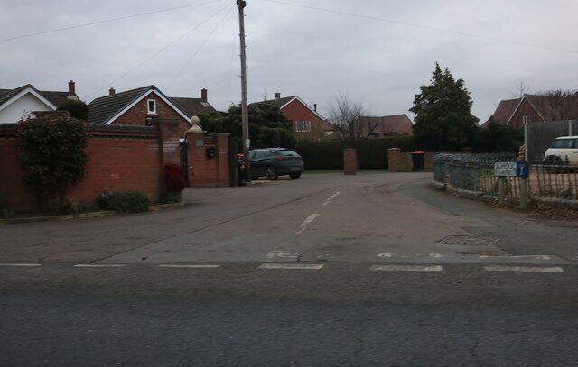
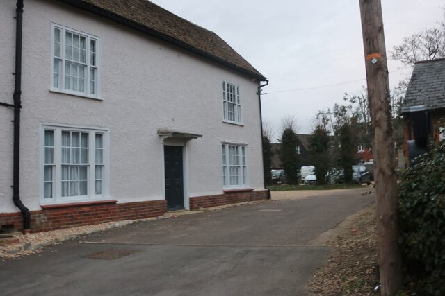
Great Barford Images

Images are sourced within 2km of 52.158258/-0.353048 or Grid Reference TL1252. Thanks to Geograph Open Source API. All images are credited.

High Street, Great Barford
New houses from Green End Road, Great Barford In 2009 this was all fields.
New houses from Green End Road, Great Barford
In 2009 this was all fields.
Great Barford Post Office
High Street, Great Barford
Park by High Street, Great Barford
Garden on Barford Road, Great Barford
Conifer by Barford Road, Great Barford
Field by Barford Road
Barford Road, Green End Crossing the A421
Barford Road, Green End
Crossing the A421
The A421, Green End From Barford Road bridge
The A421, Green End
From Barford Road bridge
Barford Road crossing the A421
High Street, Great Barford
Football pitch in Great Barford
Cottage on Green End Road, Great Barford
Green End Farm, Great Barford
Lorries at Green End Farm, Great Barford
School Lane, Great Barford
House by High Street, Great Barford
Show me another place!

Great Barford is located at Grid Ref: TL1252 (Lat: 52.158258, Lng: -0.353048)

Unitary Authority: Bedford

Police Authority: Bedfordshire

What 3 Words

///chugging.splint.amazed. Near Great Barford, Bedfordshire

Related Wikis

Great Barford

Great Barford is a village and civil parish in the Borough of Bedford, Bedfordshire, England, around 5 miles (8.0 km) north-east of Bedford town centre...

Alban Church of England Academy

Alban Church of England Academy (formerly Alban Church of England Middle School) was a mixed middle school located in Great Barford, Bedfordshire, England...

Great Barford Bridge

The early fifteenth century Great Barford Bridge, sometimes called simply Barford Bridge, spans the River Great Ouse at Great Barford, Bedfordshire. It...

Great Barford Castle

Great Barford Castle, later known as "Creakers Manor", was a Norman castle located in the village of Great Barford, in the county of Bedfordshire, England...

Nearby Amenities

Located within 500m of 52.158258,-0.353048
Description: Closed pub
Disused Name: The Beehive
Lat/Long: 52.1580698/-0.3532537
Post Office
Great Barford Stores
Addr City: Great Barford
Addr Country: GB
Addr Housenumber: 10
Addr Postcode: MK44 3LB
Addr Street: High Street
Fhrs Authority: Bedford
Fhrs Id: 104557
Fhrs Local Authority Id: 35673
Shop: convenience
Lat/Long: 52.1577747/-0.3521107
Great Barford
Place: village
Wikidata: Q1521199
Wikipedia: en:Great Barford
Lat/Long: 52.1569064/-0.3484621
Bus Stop
Bus: yes
Naptan AtcoCode: 020033101
Naptan NaptanCode: bfsajtga
Public Transport: platform
Lat/Long: 52.1576129/-0.3537826
Post Box
Brand: Royal Mail
Brand Wikidata: Q638098
Collection Times: Mo-Fr 09:00; Sa 07:00
Operator: Royal Mail
Operator Wikidata: Q638098
Operator Wikipedia: Q638098
Post Box Type: lamp
Ref: MK44 219D
Royal Cypher: EIIR
Royal Cypher Wikidata: Q33102113
Source: survey;local knowledge
Survey Date: 2016-05-07
Lat/Long: 52.1564202/-0.3524183
Turning Circle
Lat/Long: 52.1553448/-0.348014
Restaurant
The Golden Cross
Addr City: Great Barford
Addr Country: GB
Addr Housenumber: 2,4
Addr Postcode: MK44 3JD
Addr Street: Bedford Road
Cuisine: chinese
Fhrs Authority: Bedford
Fhrs Id: 104438
Fhrs Local Authority Id: 35588
Source: Bing
Lat/Long: 52.1582395/-0.3534081
Crossing
Crossing Ref: pelican
Source: bing
Lat/Long: 52.1578595/-0.3536515
Man Made: tower
Source: Bing
Tower Type: communication
Lat/Long: 52.1614059/-0.3489587
Noexit: yes
Lat/Long: 52.1585005/-0.3566618
Source: bing
Traffic Calming: choker
Lat/Long: 52.1587848/-0.3555397
Noexit: yes
Lat/Long: 52.1588247/-0.3572299
Post Box
Brand: Royal Mail
Brand Wikidata: Q638098
Collection Times: Mo-Fr 09:00; Sa 07:00
Operator: Royal Mail
Operator Wikidata: Q638098
Post Box Type: lamp
Ref: MK44 222D
Royal Cypher: EIIR
Royal Cypher Wikidata: Q33102113
Source: survey
Survey Date: 2016-05-07
Lat/Long: 52.1571751/-0.3550574
Post Box
Brand: Royal Mail
Brand Wikidata: Q638098
Collection Times: Mo-Fr 17:00; Sa 11:30
Operator: Royal Mail
Operator Wikidata: Q638098
Post Box Type: pillar
Ref: MK44 212
Royal Cypher: GR
Royal Cypher Wikidata: Q33102273
Source: survey
Survey Date: 2016-05-07
Lat/Long: 52.157772/-0.3518421
Sundorne Bouncy Castles
Addr City: Great Barford
Addr Housenumber: 11
Addr Postcode: MK44 3LB
Addr Street: High Street
Operator: Sundorne Bouncy Castles
Phone: +44 1234 434434
Shop: party
Website: https://www.sundornebouncycastles.co.uk/
Lat/Long: 52.1578293/-0.3511592
Addr Country: GB
Addr Housenumber: 12
Addr Street: Bedford Road
Lat/Long: 52.1578046/-0.3539859
The Cross
Naptan AtcoCode: 20033100
Naptan CommonName: The Cross
Naptan Indicator: adj
Naptan NaptanCode: bfsajtdw
Public Transport: platform
Lat/Long: 52.1582365/-0.3532644
Turning Circle
Lat/Long: 52.1568752/-0.3503113
Turning Circle
Lat/Long: 52.1565618/-0.3506056
Turning Circle
Lat/Long: 52.1540798/-0.35101
Entrance: emergency
Lat/Long: 52.1546085/-0.3511724
Entrance: yes
Lat/Long: 52.1552102/-0.3513984
Entrance: main
Lat/Long: 52.1550284/-0.3511433
Access: private
Door: hinged
Entrance: service
Wheelchair: yes
Lat/Long: 52.1550578/-0.3515181
Entrance: staircase
Lat/Long: 52.1548516/-0.3515254
Access: delivery
Door: hinged
Entrance: service
Lat/Long: 52.1548438/-0.3508025
Crossing
Button Operated: yes
Crossing: traffic_signals
Crossing Island: no
Crossing Markings: dashes
Source: local knowledge
Tactile Paving: yes
Traffic Signals Sound: yes
Lat/Long: 52.1596165/-0.350124
The data included in this document is from www.openstreetmap.org. The data is made available under ODbL.

Have you been to Great Barford?

Leave your review of Great Barford below (or comments, questions and feedback).