Great Bardfield
Settlement in Essex Braintree
England
Great Bardfield

Great Bardfield is a picturesque village located in the county of Essex, England. Situated about 14 miles northwest of the city of Chelmsford, it lies within the district of Braintree. The village is surrounded by beautiful countryside and is known for its charming rural setting.
With a population of around 2,500 people, Great Bardfield has a tight-knit community and a strong sense of community spirit. The village is home to several historic buildings, including St. Mary the Virgin Church, which dates back to the 14th century. The church features stunning architecture and is a popular attraction for visitors.
Great Bardfield is renowned for its artistic heritage. In the mid-20th century, the village became a hub for the Great Bardfield Artists, a group of influential artists including Edward Bawden and Eric Ravilious. Their works are celebrated for capturing the essence of English rural life.
The village boasts a range of amenities, including a primary school, a village hall, a post office, and a few local shops. Additionally, there are several pubs and restaurants where residents and visitors can enjoy a meal or a drink.
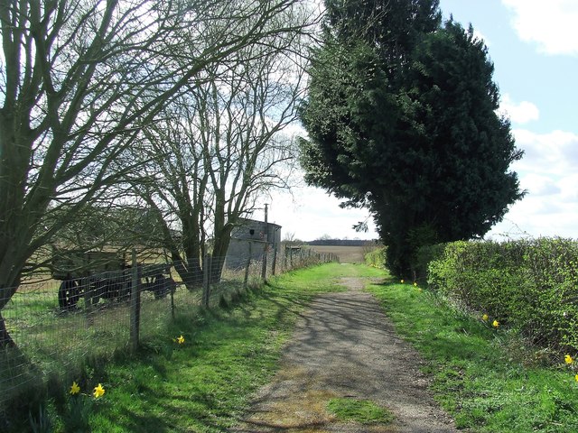
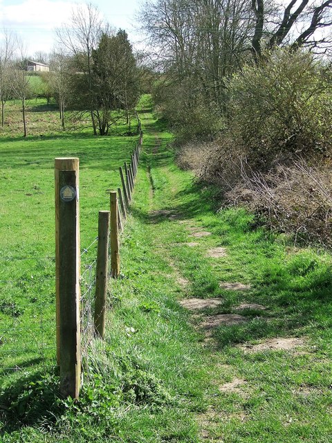
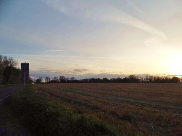
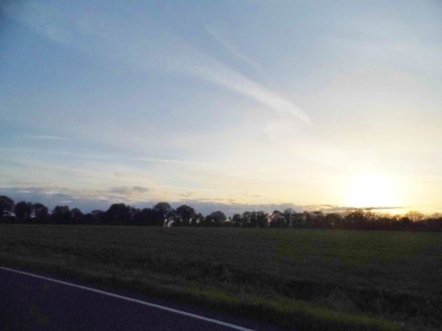
The surrounding countryside offers ample opportunities for outdoor activities, such as walking, cycling, and horse riding. The rolling hills and meandering footpaths make it an ideal location for nature enthusiasts and those seeking a peaceful retreat.
Great Bardfield is a quintessential English village, with its idyllic setting, community spirit, and artistic heritage making it a truly special place to visit or call home.
If you have any feedback on the listing, please let us know in the comments section below.
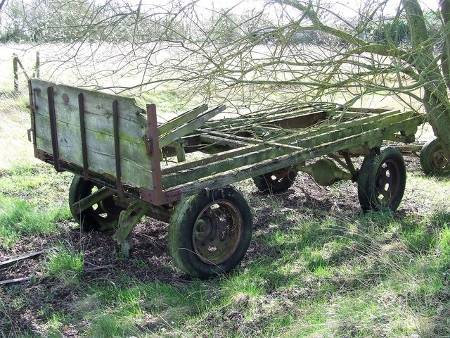
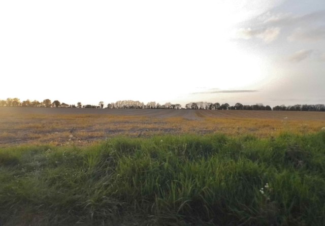
Great Bardfield Images
Images are sourced within 2km of 51.947443/0.43535 or Grid Reference TL6730. Thanks to Geograph Open Source API. All images are credited.


Great Bardfield is located at Grid Ref: TL6730 (Lat: 51.947443, Lng: 0.43535)
Administrative County: Essex
District: Braintree
Police Authority: Essex
What 3 Words
///mavericks.tickets.download. Near Great Bardfield, Essex
Nearby Locations
Related Wikis

Great Bardfield
Great Bardfield is a large village in the Braintree district of Essex, England. It is located approximately 9 mi (14 km) northwest of the town of Braintree...
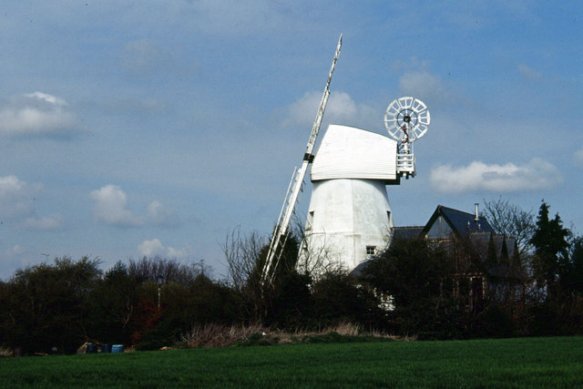
Gibraltar Mill, Great Bardfield
Gibraltar Mill is a grade II listed Tower mill at Great Bardfield, Essex, England which has been converted to residential use. == History == The first...

Little Bardfield
Little Bardfield is a village and civil parish in the Uttlesford district of northwest Essex, England. Little Bardfield is a small scattered village on...

Oxen End
Oxen End is a hamlet on the B1057 road, in the Uttlesford District, in the English county of Essex. It is located a few miles from the village of Great...
Nearby Amenities
Located within 500m of 51.947443,0.43535Have you been to Great Bardfield?
Leave your review of Great Bardfield below (or comments, questions and feedback).