Stobshiel Reservoir
Lake, Pool, Pond, Freshwater Marsh in East Lothian
Scotland
Stobshiel Reservoir
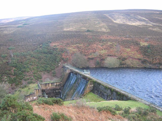
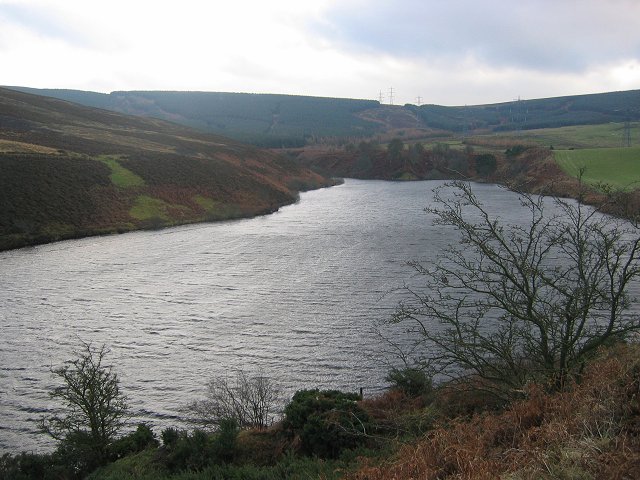
Stobshiel Reservoir is a freshwater lake located in East Lothian, Scotland. Situated in the rural countryside, it covers an area of approximately 10 hectares. The reservoir was originally built in the late 19th century to provide water for agricultural purposes, but it has since become a popular recreational spot for locals and visitors alike.
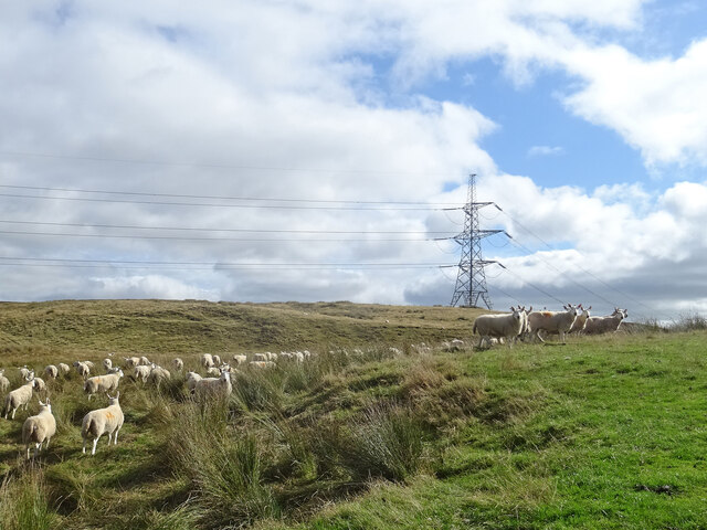
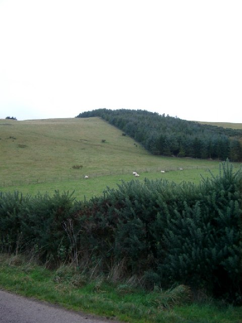
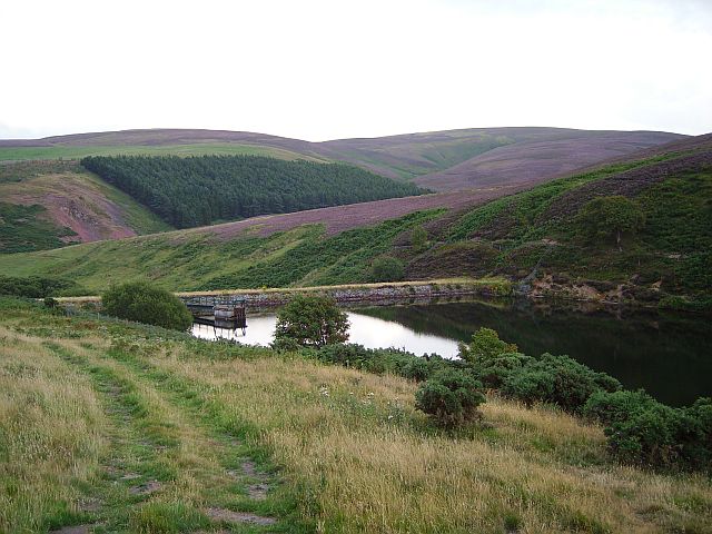
The lake is surrounded by rolling hills and green pastures, creating a picturesque setting. It is fed by several small streams and springs, ensuring a constant flow of freshwater. The water is relatively clear and clean, making it suitable for various activities such as fishing, boating, and swimming.
Stobshiel Reservoir is home to a diverse range of aquatic plants and wildlife. The surrounding marshes and wetlands provide an ideal habitat for numerous bird species, including ducks, geese, and herons. Birdwatchers often visit the area to catch a glimpse of these fascinating creatures.
The lake is also a popular spot for anglers, as it is stocked with a variety of fish species, such as trout and perch. Fishing permits can be obtained from local authorities, allowing visitors to enjoy a day of peaceful angling.
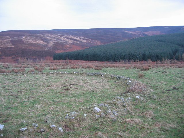
In addition to its natural beauty, Stobshiel Reservoir offers stunning views of the surrounding countryside. Many visitors take leisurely walks or bike rides along the trails that run alongside the lake, enjoying the tranquility and serenity of the area.
Overall, Stobshiel Reservoir is a small but charming freshwater lake in East Lothian, offering a range of recreational activities and a chance to connect with nature in a beautiful setting.
If you have any feedback on the listing, please let us know in the comments section below.
Stobshiel Reservoir Images
Images are sourced within 2km of 55.84844/-2.798406 or Grid Reference NT5061. Thanks to Geograph Open Source API. All images are credited.


Stobshiel Reservoir is located at Grid Ref: NT5061 (Lat: 55.84844, Lng: -2.798406)
Unitary Authority: East Lothian
Police Authority: The Lothians and Scottish Borders
What 3 Words
///stops.castle.hexes. Near Pencaitland, East Lothian
Nearby Locations
Related Wikis

Humbie railway station
Humbie railway station served the civil parish of Humbie, East Lothian, Scotland, from 1901 to 1933 on the Macmerry Branch. == History == The station was...

Humbie
Humbie is a hamlet and rural parish in East Lothian, Scotland lying in south-east of the county, approximately 10 miles (16 km) south-west of Haddington...
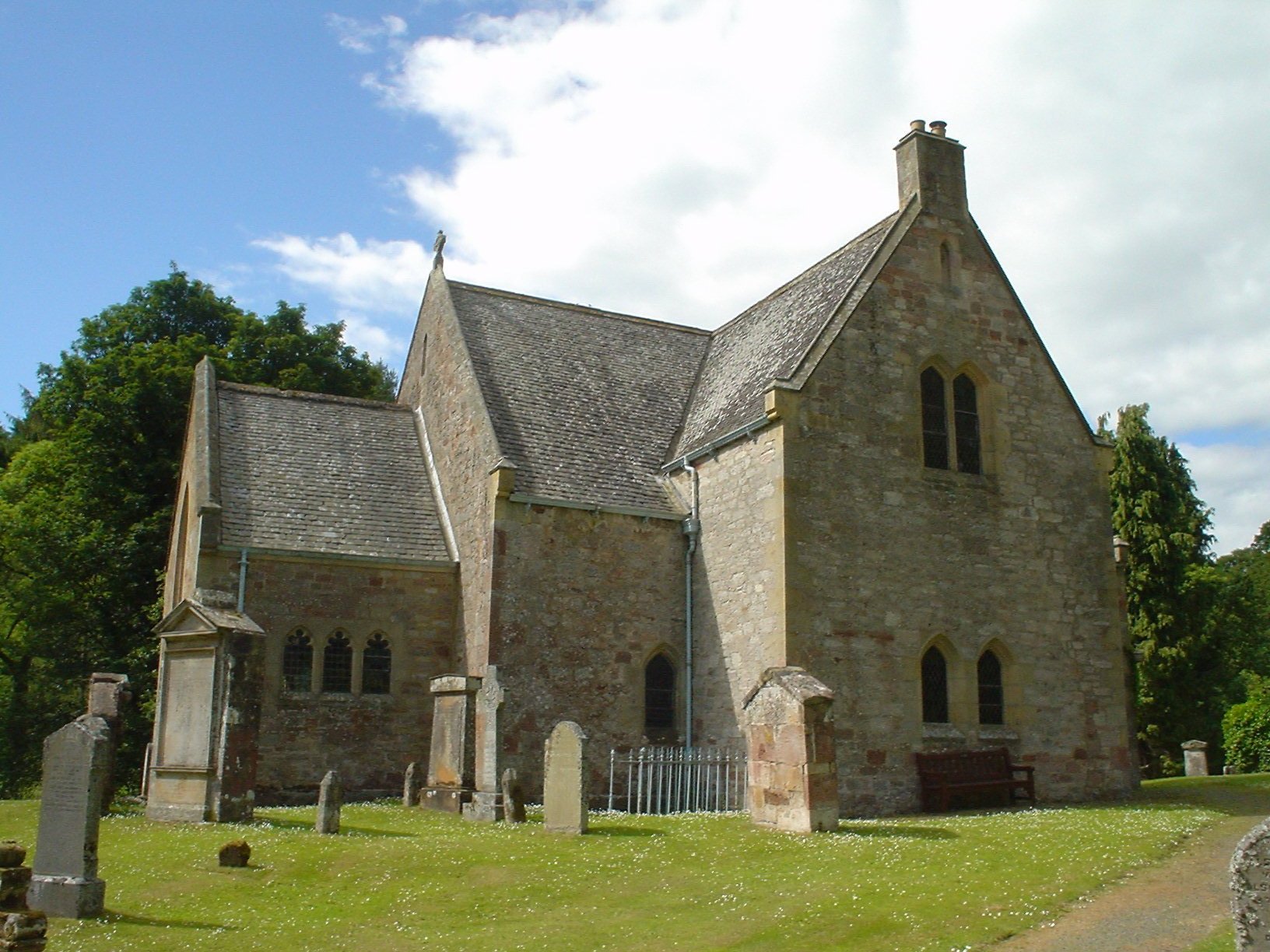
Humbie Parish Church
Humbie Parish Church is a church in the small village of Humbie, East Lothian, Scotland. It is part of the Church of Scotland, and is a linked charge which...

Lammermuir Hills
The Lammermuirs are a range of hills in southern Scotland, forming a natural boundary between East Lothian and the Borders. The name "Lammermuir" comes...
Nearby Amenities
Located within 500m of 55.84844,-2.798406Have you been to Stobshiel Reservoir?
Leave your review of Stobshiel Reservoir below (or comments, questions and feedback).