Baddow, Great
Settlement in Essex Chelmsford
England
Baddow, Great

Baddow, Great is a small village located in the county of Essex, England. Situated approximately three miles northeast of the city of Chelmsford, Baddow, Great is part of the civil parish of Great Baddow. The village is surrounded by picturesque countryside, offering residents and visitors a peaceful and idyllic setting.
Historically, Baddow, Great was an agricultural community, with farming being the primary occupation for its inhabitants. However, with the expansion of Chelmsford in recent years, the village has seen some residential development and a shift towards a more suburban lifestyle. Despite this, Baddow, Great has managed to retain its rural charm and character.
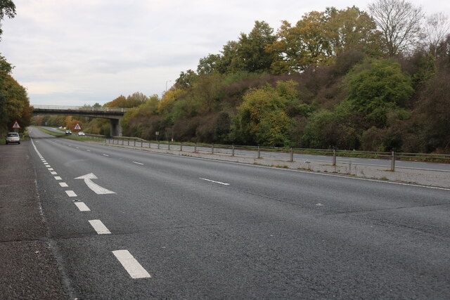
The village boasts a range of amenities to cater to the needs of its residents. These include a primary school, a village hall, a post office, and a few local shops and pubs. The area is also well-connected with transportation links, including regular bus services and easy access to major road networks.
One of the notable features of Baddow, Great is its beautiful church, St. Mary's, which dates back to the 12th century. The church is a prominent landmark in the village and holds regular services and community events.
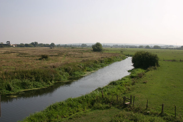
For those seeking recreational activities, Baddow, Great offers ample opportunities for outdoor pursuits. The surrounding countryside provides scenic walking trails, while nearby rivers and lakes offer fishing and boating opportunities.
Overall, Baddow, Great is a charming village that combines rural tranquility with convenient access to urban amenities. Its rich history, stunning landscapes, and strong sense of community make it an attractive place to live or visit in Essex.
If you have any feedback on the listing, please let us know in the comments section below.
Baddow, Great Images
Images are sourced within 2km of 51.714917/0.497929 or Grid Reference TL7204. Thanks to Geograph Open Source API. All images are credited.


Baddow, Great is located at Grid Ref: TL7204 (Lat: 51.714917, Lng: 0.497929)
Administrative County: Essex
District: Chelmsford
Police Authority: Essex
What 3 Words
///rent.point.herds. Near Chelmsford, Essex
Nearby Locations
Related Wikis

Church of St Mary, Great Baddow
St Mary's Church is an active parish church in the village of Great Baddow, Essex, England. The church stands on the High Street in the centre of the village...

Duffield Memorial
The Duffield Memorial is a gravesite monument located in the churchyard of the Church of St Mary in Great Baddow, Essex, England. Designed by Herbert Maryon...

Great Baddow
Great Baddow is an urban village and civil parish in the Chelmsford borough of Essex, England. It is close to the city of Chelmsford and, with a population...

Great Baddow High School
Great Baddow High School is a comprehensive secondary school in Chelmsford, Essex, England. It is a sports college with academy status and with science...
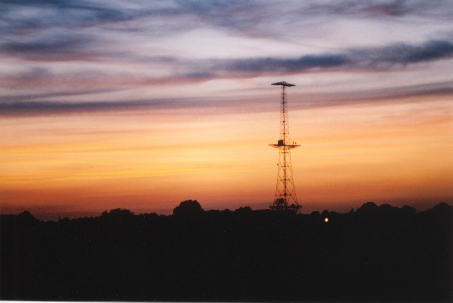
Marconi Research Centre
Marconi Research Centre is the former name of the current BAE Systems Applied Intelligence Laboratories facility at Great Baddow in Essex, United Kingdom...
The Sandon School
The Sandon School is an 11-18 mixed comprehensive academy school of approximately 1250 students. It serves a rural area on the outskirts of Chelmsford...

Sandon, Essex
Sandon is a village and civil parish just off junction 17 of the A12 in Essex, England, adjacent to Great Baddow and close to Danbury. The population taken...
Moulsham High School
Moulsham High School is a co-educational academy secondary school and sixth form for 11 to 18 year olds in Chelmsford, Essex.The Headteacher is Julia Mead...
Nearby Amenities
Located within 500m of 51.714917,0.497929Have you been to Baddow, Great?
Leave your review of Baddow, Great below (or comments, questions and feedback).