Barnes Loch

Lake, Pool, Pond, Freshwater Marsh in Roxburghshire

Scotland

Barnes Loch

Grazing and woodland near Southfield In the Roxburgh hills.
Grazing and woodland near Southfield Credit: James Denham

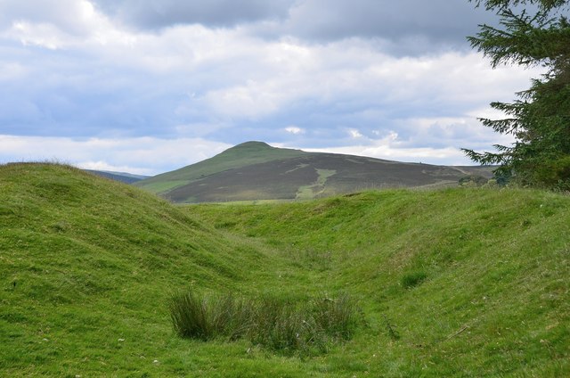
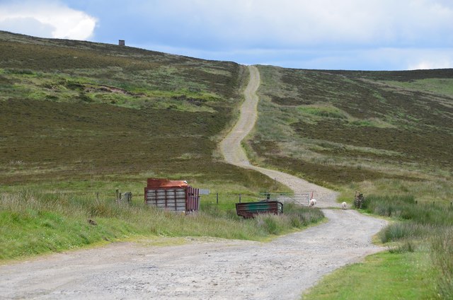
Barnes Loch is a picturesque freshwater loch nestled in the beautiful countryside of Roxburghshire, Scotland. This tranquil body of water covers an area of approximately 20 hectares and is surrounded by lush greenery and rolling hills, creating a serene and idyllic setting.

The loch itself is relatively shallow, with a maximum depth of around 3 meters. It is fed by several small streams and springs, ensuring a constant flow of fresh water. The water quality is excellent, making it an ideal habitat for a variety of aquatic plant and animal species.

The shores of Barnes Loch are home to a diverse range of flora and fauna. The surrounding vegetation includes reeds, rushes, and water lilies, providing a habitat for numerous bird species such as ducks, swans, and herons. These birds can often be seen gracefully gliding across the calm waters or nesting in the surrounding vegetation.

The loch is also a popular spot for fishing enthusiasts, with a healthy population of brown trout and perch. Anglers can be seen casting their lines from the shores or from small boats, enjoying the peaceful atmosphere and the opportunity to catch some of these prized fish.

For nature lovers and outdoor enthusiasts, Barnes Loch offers a tranquil haven away from the hustle and bustle of everyday life. Whether it's a leisurely walk along the shores, a spot of birdwatching, or a day spent fishing, this charming freshwater loch provides a serene and captivating experience for all who visit.

If you have any feedback on the listing, please let us know in the comments section below.
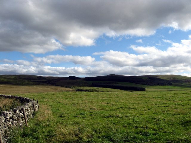
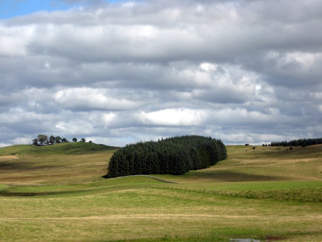
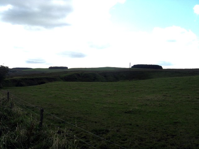
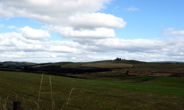
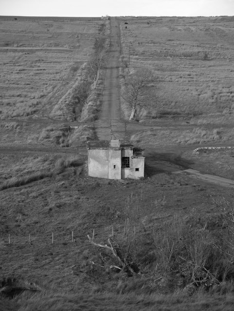
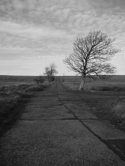
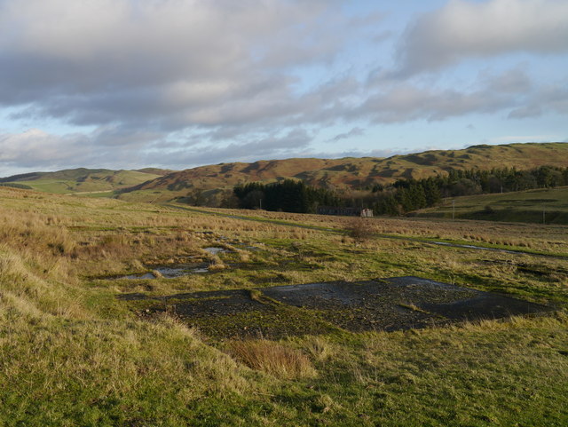
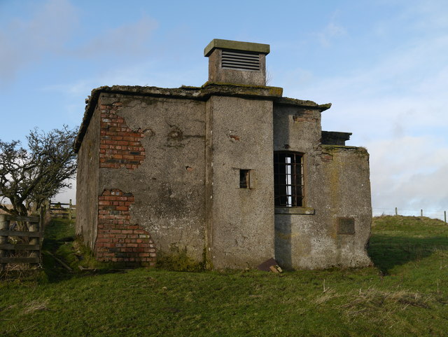
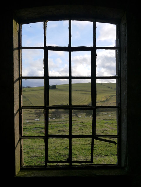
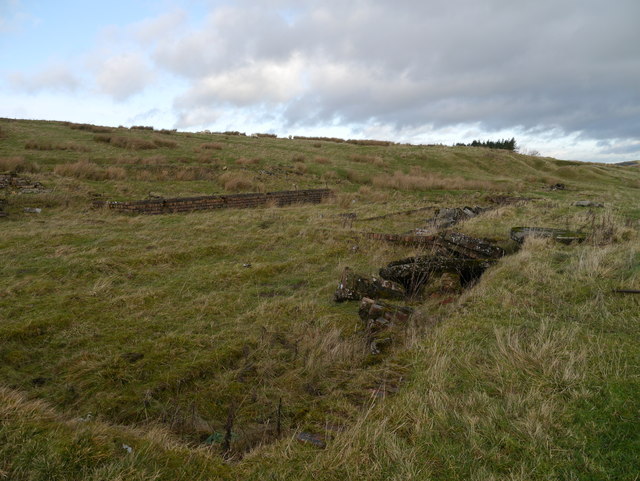
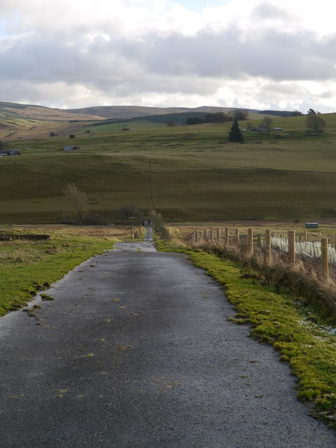
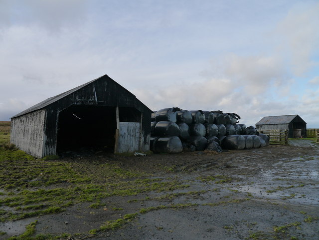
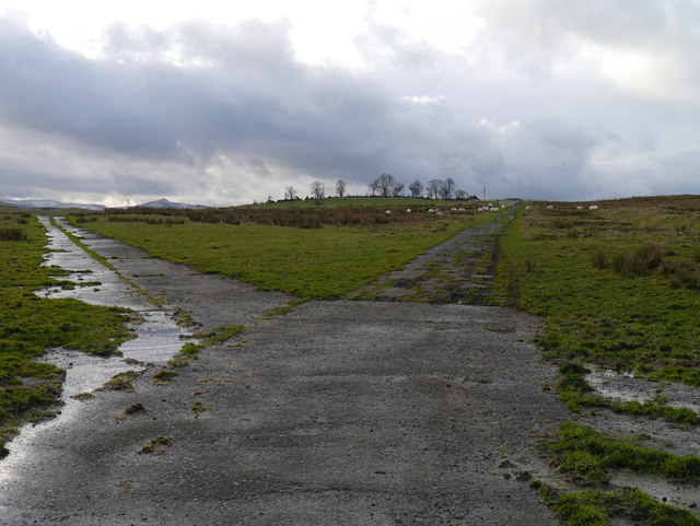
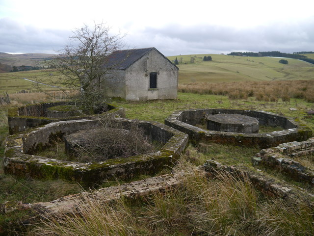
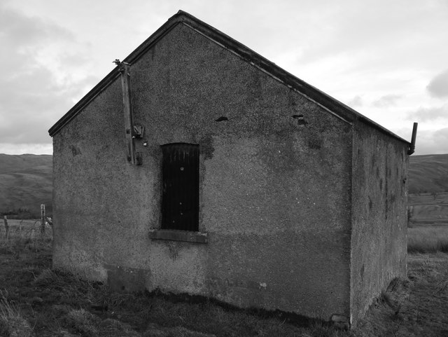
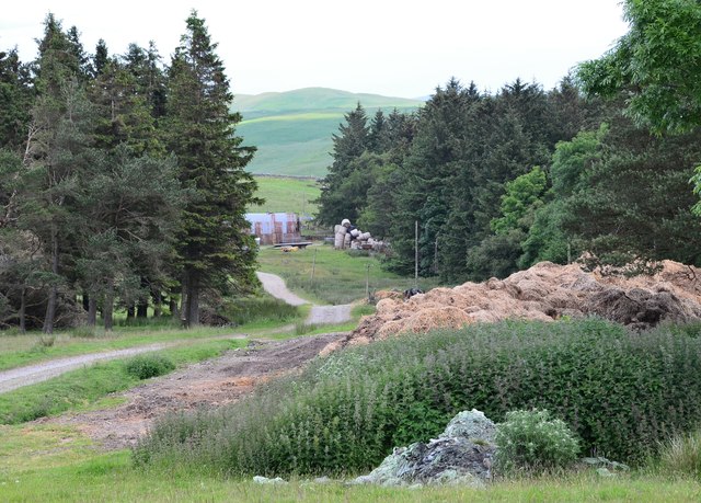
Barnes Loch Images

Images are sourced within 2km of 55.364265/-2.8061862 or Grid Reference NT4808. Thanks to Geograph Open Source API. All images are credited.

Grazing and woodland near Southfield In the Roxburgh hills.
Grazing and woodland near Southfield
In the Roxburgh hills.
Gently rolling pasture land near Southfield Farm In Roxburghshire.
Gently rolling pasture land near Southfield Farm
In Roxburghshire.
Grazing land at Dodburn in Roxburghshire The declevity seen across the photograph is the path of the Allan Water.
Grazing land at Dodburn in Roxburghshire
The declevity seen across the photograph is the path of the Allan Water.
Grazing lands near Winningtonrig in Roxburghshire
A View Across Stobs Camp Viewed from a ridge over the Barnes Burn, this small equipment drying building was adjacent to the 'bathing pond' - now occupied by scrub and reeds, the periphery of which can be noted to the bottom right.

For a close up of the building, see <a href="https://www.geograph.org.uk/photo/3752223">NT5009 : Near Stobs Camp Bathing Pond</a>
A View Across Stobs Camp
Viewed from a ridge over the Barnes Burn, this small equipment drying building was adjacent to the 'bathing pond' - now occupied by scrub and reeds, the periphery of which can be noted to the bottom right. For a close up of the building, see NT5009 : Near Stobs Camp Bathing Pond
Access Road At Stobs Camp A bleak place, once a hive of military activity.
Access Road At Stobs Camp
A bleak place, once a hive of military activity.
A View Across Stobs Camp A view across the camp site, with concrete foundations prominent in the foreground.
A View Across Stobs Camp
A view across the camp site, with concrete foundations prominent in the foreground.
Drying Building One of two remaining equipment drying buildings at the former camp site.
Drying Building
One of two remaining equipment drying buildings at the former camp site.
A Window With A View A view out of a drying building window across the remains of the camp site.  For an external view of the building, see <a href="https://www.geograph.org.uk/photo/3789565">NT4909 : Drying Building</a>
A Window With A View
A view out of a drying building window across the remains of the camp site. For an external view of the building, see NT4909 : Drying Building
Building Foundations A set of brick and concrete foundations, just one of many at the former camp site.
Building Foundations
A set of brick and concrete foundations, just one of many at the former camp site.
Road In Stobs Camp This tarmac road provides access to Winningtonrig Farm, above the camp site.
Road In Stobs Camp
This tarmac road provides access to Winningtonrig Farm, above the camp site.
Storage At Stobs Probable camp buildings now utilised as farm storage at the top of the former Stobs Camp site.
Storage At Stobs
Probable camp buildings now utilised as farm storage at the top of the former Stobs Camp site.
A Meeting Of Two Roads A junction at the top of the Stobs Camp site.
A Meeting Of Two Roads
A junction at the top of the Stobs Camp site.
Tanks At Stobs Camp Three octagonal tanks and several rectangular tanks remain near the top of the site: it is unclear what these tanks contained.
Tanks At Stobs Camp
Three octagonal tanks and several rectangular tanks remain near the top of the site: it is unclear what these tanks contained.
Derelict Building At Stobs Camp Located next to some tanks near the top of the site, the function of this building is unknown.
Derelict Building At Stobs Camp
Located next to some tanks near the top of the site, the function of this building is unknown.
Track on Newton Hill The track up from Barns passes through shelter belts here.
Track on Newton Hill
The track up from Barns passes through shelter belts here.
Settlement site, Newton Hill A roughly circular area has been enclosed by ramparts, now close to trees in a shelter belt to the NW. There are also remains of another settlement with hut circles on White Knowe, about 400m to the W. The summit in view is Penchrise Pen.
Settlement site, Newton Hill
A roughly circular area has been enclosed by ramparts, now close to trees in a shelter belt to the NW. There are also remains of another settlement with hut circles on White Knowe, about 400m to the W. The summit in view is Penchrise Pen.
Track over Penchrise Pen The track from Barns here heads south over the flank of Penchrise Pen. There is also a track down to Penchrise farm to the left just past the cattle grid. The structure on the skyline appears to be a sentry box or guard post connected with the nearby Stobs Military Camp.
Track over Penchrise Pen
The track from Barns here heads south over the flank of Penchrise Pen. There is also a track down to Penchrise farm to the left just past the cattle grid. The structure on the skyline appears to be a sentry box or guard post connected with the nearby Stobs Military Camp.
Show me another place!

Barnes Loch is located at Grid Ref: NT4808 (Lat: 55.364265, Lng: -2.8061862)

Unitary Authority: The Scottish Borders

Police Authority: The Lothians and Scottish Borders

What 3 Words

///abacus.grunt.segmented. Near Hawick, Scottish Borders

Nearby Locations

Barnes Loch

Related Wikis

Stobs Military Camp

Stobs Camp is a military and internment camp located just outside Hawick in the Scottish Borders. It is an internationally important site due to its level...

Stobs railway station

Stobs railway station served the hamlet of Barnes, Scottish Borders, Scotland from 1862 to 1969 on the Border Union Railway. == History == The station...

Shankend

Shankend Manor was a sixteenth-century mansion located some six miles (ten kilometres) south of Hawick, close to Whitrope Siding in Scotland. It was constructed...

Branxholme

Branxholme is a hamlet in the Scottish Borders area of Scotland, overlooking the River Teviot, three miles southwest of Hawick, on the A7 road to Langholm...

Shankend railway station

Shankend railway station served the hamlet of Shankend, Scottish Borders, Scotland from 1862 to 1969 on the Border Union Railway. == History == The station...

Broadhaugh

Broadhaugh is a hamlet in the Scottish Borders area of Scotland, in the parish of Teviothead, in former Roxburghshire. == See also == List of places in...

Newmill-on-Teviot

Newmill-on-Teviot, commonly called Newmill, is a hamlet in the Scottish Borders, 7 kilometres (4.3 mi) south of Hawick on the River Teviot. The remains...

Branxholme Castle

Branxholme Castle is a five-storey tower at Branxholme, about 3 miles south-west of Hawick in the Borders region of Scotland. == History == The present...

Nearby Amenities

Located within 500m of 55.364265,-2.8061862
The data included in this document is from www.openstreetmap.org. The data is made available under ODbL.

Have you been to Barnes Loch?

Leave your review of Barnes Loch below (or comments, questions and feedback).