Boghaugh Pot

Lake, Pool, Pond, Freshwater Marsh in Aberdeenshire

Scotland

Boghaugh Pot

Paths of the Bin forest
Paths of the Bin forest Credit: Ralph Greig

Boghaugh Pot is a freshwater marsh located in Aberdeenshire, Scotland. It is a small body of water, often referred to as a lake, pool, or pond, situated in a low-lying area surrounded by marshy vegetation. The pot is fed by natural springs and rainwater runoff, ensuring a constant supply of fresh water.

The marshland surrounding Boghaugh Pot is rich in biodiversity, making it home to a wide variety of plant and animal species. The lush vegetation includes reeds, sedges, and water lilies, creating a vibrant and picturesque scene. The diverse plant life provides a habitat for many different types of insects, amphibians, and birds.

The water in Boghaugh Pot is clear and still, reflecting the surrounding landscape and providing a peaceful atmosphere. It is a popular spot for fishing enthusiasts, as it is home to a healthy population of freshwater fish such as perch, pike, and roach. Additionally, the pot serves as a watering hole for local wildlife, attracting birds such as herons, ducks, and swans.

The wetland ecosystem of Boghaugh Pot plays an important role in the local environment. It helps to filter water and maintain water quality, while also acting as a natural flood control system. The marshland absorbs excess rainwater, reducing the risk of flooding in the surrounding areas.

Overall, Boghaugh Pot is a picturesque freshwater marsh with abundant plant and animal life. It serves as a vital part of the local ecosystem and provides a tranquil and scenic environment for visitors to enjoy.

If you have any feedback on the listing, please let us know in the comments section below.
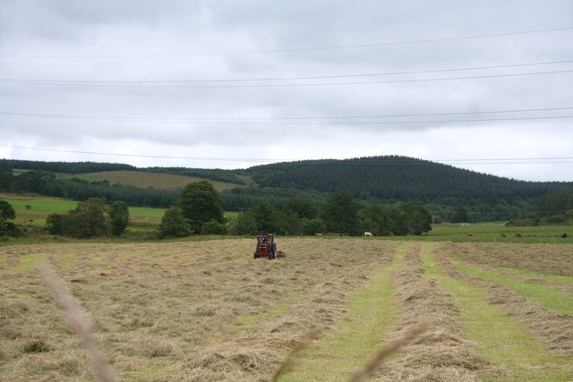
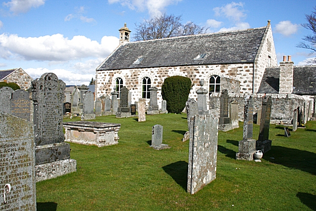
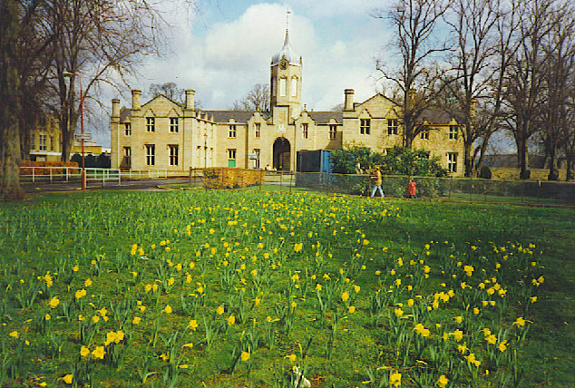
Boghaugh Pot Images

Images are sourced within 2km of 57.465306/-2.8527478 or Grid Reference NJ4841. Thanks to Geograph Open Source API. All images are credited.

Paths of the Bin forest
Forestry Operations
Forestry Operations
Trees and rocks
Trees and rocks
Water treatment works at Craighead Reservoir
Paths around The Bin Geocaching is a type of global treasure hunt of people looking for caches, or hidden stashes of objects. Geocaching may also be described as a series of hide-and-seek games, where hiders provide online clues for seekers. Seekers use global positioning system (GPS) devices to find hidden caches
Paths around The Bin
Geocaching is a type of global treasure hunt of people looking for caches, or hidden stashes of objects. Geocaching may also be described as a series of hide-and-seek games, where hiders provide online clues for seekers. Seekers use global positioning system (GPS) devices to find hidden caches
Fabulous Fungi
Fabulous Fungi
Back road Layby
Back road Layby
Weeds and Clashmach Wild wetland with Clashmach Hill behind from Rob's Nook.
Weeds and Clashmach
Wild wetland with Clashmach Hill behind from Rob's Nook.
River Deveron The Deveron by Cairnford Bridge.
River Deveron
The Deveron by Cairnford Bridge.
Deveron Downstream The Deveron flowing away from Cairnford Bridge.
Deveron Downstream
The Deveron flowing away from Cairnford Bridge.
Hay Field Hay turning in a Deveronside field.
Hay Field
Hay turning in a Deveronside field.
Entrance to the cave on The Bin Named as 'Elf's House' on the large-scale OS plan, and completely surrounded by forestry plantations.  I could get inside and stand upright as an 11 year old but possibly not now!
Entrance to the cave on The Bin
Named as 'Elf's House' on the large-scale OS plan, and completely surrounded by forestry plantations. I could get inside and stand upright as an 11 year old but possibly not now!
The Bin Forest Forestry plantations covering the hill called The Bin.
The Bin Forest
Forestry plantations covering the hill called The Bin.
Farmland, Gray Stone Off the A96.
Farmland, Gray Stone
Off the A96.
A96 heading south east  Towards Huntly.
A96 heading south east
Towards Huntly.
Grazing, Binside
Grazing, Binside
The Bin Forest East of the A96.
The Bin Forest
East of the A96.
Track into the Bin Forest Looking east from the A96.
Track into the Bin Forest
Looking east from the A96.
Show me another place!

Boghaugh Pot is located at Grid Ref: NJ4841 (Lat: 57.465306, Lng: -2.8527478)

Unitary Authority: Aberdeenshire

Police Authority: North East

What 3 Words

///grapevine.braved.spotted. Near Huntly, Aberdeenshire

Related Wikis

Nearby Amenities

Located within 500m of 57.465306,-2.8527478
Power: pole
Lat/Long: 57.4650191/-2.8456548
Power: pole
Lat/Long: 57.4654014/-2.8469986
Power: pole
Lat/Long: 57.4657822/-2.848286
Power: pole
Lat/Long: 57.4661875/-2.8496406
Power: pole
Lat/Long: 57.4665337/-2.8508341
Power: pole
Lat/Long: 57.466991/-2.8523415
Power: pole
Lat/Long: 57.4673242/-2.8534895
Power: pole
Lat/Long: 57.4677252/-2.8548682
Power: pole
Lat/Long: 57.4680844/-2.8561047
Power: pole
Lat/Long: 57.4684752/-2.8574055
Power: pole
Lat/Long: 57.4693521/-2.8557855
Power: pole
Lat/Long: 57.4686376/-2.8555046
Power: pole
Lat/Long: 57.4679275/-2.8552336
Power: pole
Lat/Long: 57.467636/-2.8542679
Power: pole
Lat/Long: 57.467485/-2.8534583
Power: pole
Lat/Long: 57.4672165/-2.8520081
Power: pole
Lat/Long: 57.4671547/-2.8508338
Power: pole
Lat/Long: 57.4670787/-2.8494345
Power: pole
Lat/Long: 57.4670266/-2.8485427
Power: pole
Lat/Long: 57.4669515/-2.8472124
Power: pole
Lat/Long: 57.4668809/-2.8458821
Power: pole
Lat/Long: 57.4691905/-2.8569483
Dowmin
Place: isolated_dwelling
Lat/Long: 57.4663041/-2.8472767
The data included in this document is from www.openstreetmap.org. The data is made available under ODbL.

Have you been to Boghaugh Pot?

Leave your review of Boghaugh Pot below (or comments, questions and feedback).