Amwell, Great
Settlement in Hertfordshire East Hertfordshire
England
Amwell, Great

Amwell is a charming village located in the county of Hertfordshire, England. Situated approximately 20 miles north of London, it is part of the district of East Hertfordshire. With a population of around 2,000 residents, Amwell offers a peaceful and idyllic setting, making it an ideal place for those seeking a quiet and rural lifestyle.
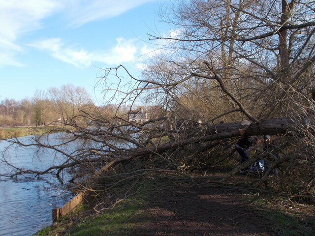
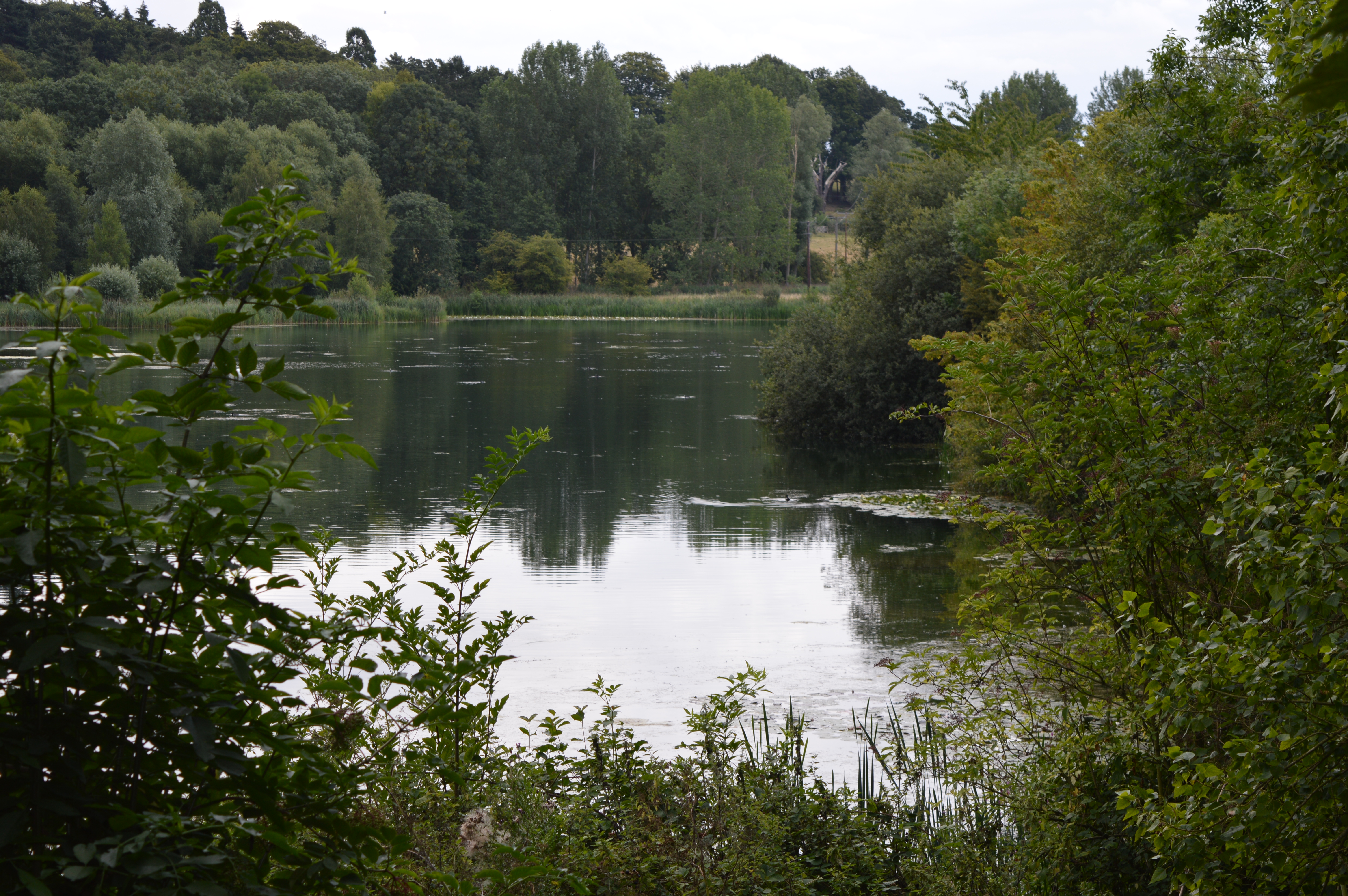
The village is renowned for its natural beauty, thanks to its proximity to the River Lee and the Lee Valley Park. The park is a haven for nature lovers and outdoor enthusiasts, offering picturesque walking and cycling trails, as well as opportunities for boating and fishing. The tranquil Amwell Nature Reserve is also nearby, providing a sanctuary for a variety of bird species and other wildlife.
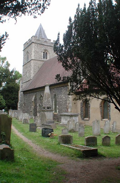
Amwell is steeped in history, with evidence of human settlement dating back to the Roman period. The village is home to several historic buildings, including St. John the Baptist Church, which dates back to the 12th century. The Grade II listed Amwell House, a former rectory, is another notable landmark.
Despite its rural setting, Amwell benefits from good transport links, with easy access to the A10 and A414 roads. The village is also served by regular bus services, connecting residents to nearby towns and cities.
In terms of amenities, Amwell boasts a village hall, a primary school, and a local pub. There are also a variety of shops and services available in the neighboring towns of Ware and Hertford, which are just a short drive away.
Overall, Amwell offers a picturesque and peaceful village lifestyle, with its natural beauty, historic charm, and convenient location making it an attractive place to live.
If you have any feedback on the listing, please let us know in the comments section below.
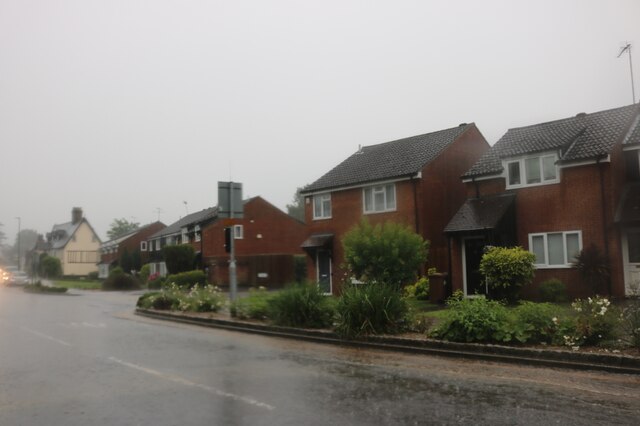
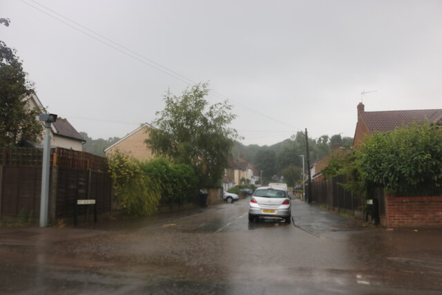
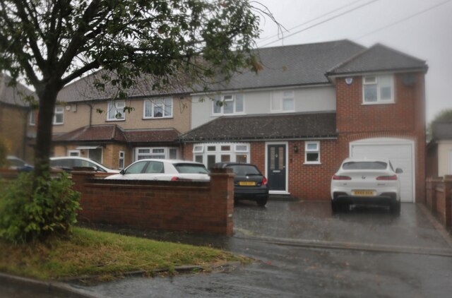
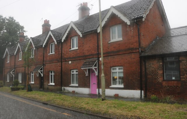
Amwell, Great Images
Images are sourced within 2km of 51.794259/-0.013706 or Grid Reference TL3712. Thanks to Geograph Open Source API. All images are credited.


Amwell, Great is located at Grid Ref: TL3712 (Lat: 51.794259, Lng: -0.013706)
Administrative County: Hertfordshire
District: East Hertfordshire
Police Authority: Hertfordshire
What 3 Words
///shares.plays.toast. Near Great Amwell, Hertfordshire
Nearby Locations
Related Wikis
Great Amwell
Great Amwell is a village and civil parish in the East Hertfordshire district, in the county of Hertfordshire, England. It is 1+1⁄2 miles (2.4 km) southeast...
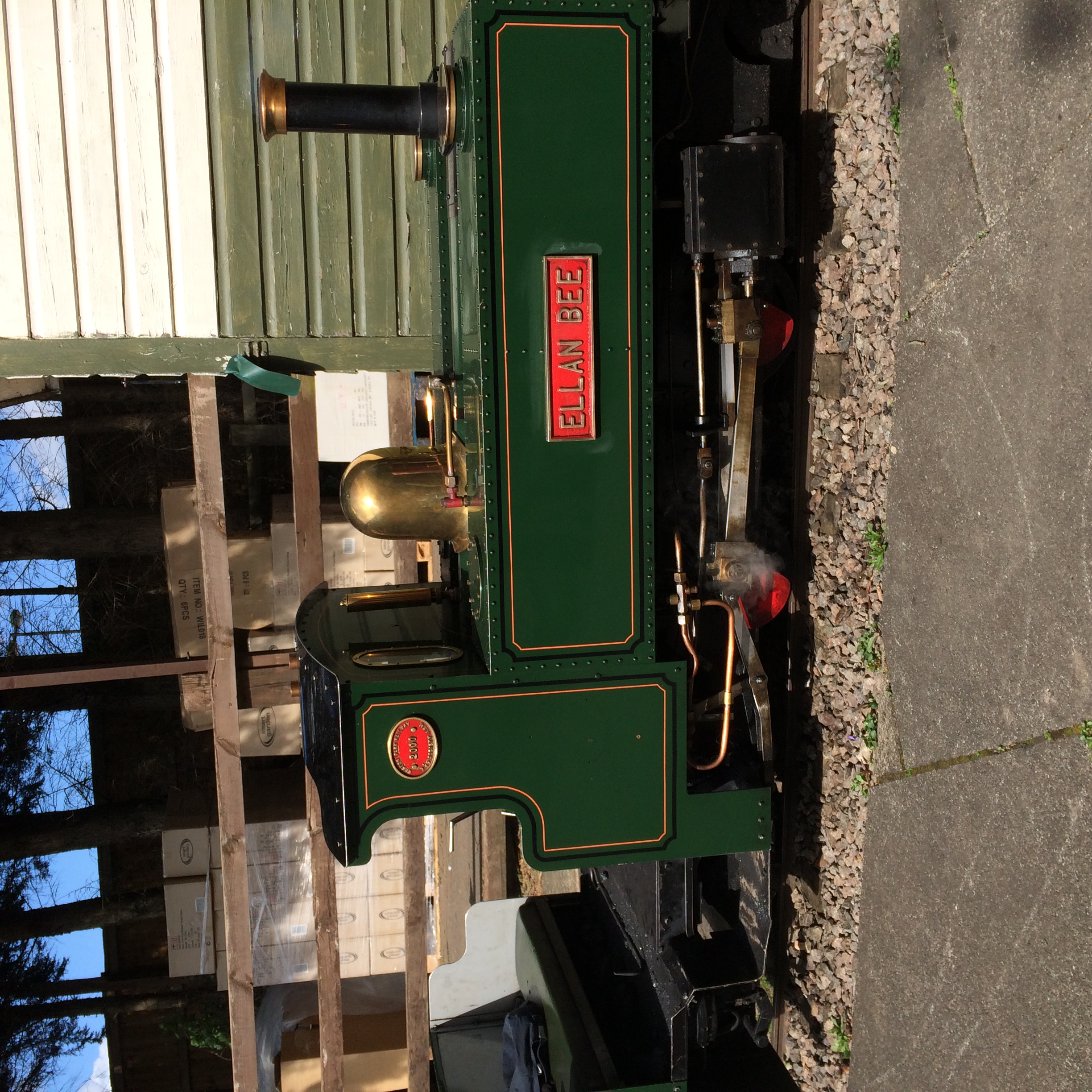
East Herts Miniature Railway
The East Herts Miniature Railway (EHMR) is situated in the Van Hage Garden Centre, Great Amwell near Ware, Hertfordshire. It opened in 1978 and by 2006...
Amwell Quarry
Amwell Quarry or Amwell Nature Reserve is a 37 hectare biological Site of Special Scientific Interest in Great Amwell in Hertfordshire. The planning authority...

River Ash, Hertfordshire
The River Ash originates near the village of Brent Pelham in North Hertfordshire and flows through The Hadhams (Little, Ford and Much), Widford, Wareside...

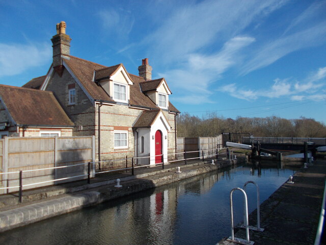
Hardmead Lock
Hardmead Lock (No3) is a lock on the River Lee Navigation at Great Amwell close to the town of Ware. The lock has a reputation as being difficult to negotiate...

Amwell Magna Fishery
Amwell Magna Fishery is located on the River Lea at Great Amwell which is 1.5 miles (2.4 km) south of Ware in Hertfordshire, southern England. == History... ==

Stanstead Lock
Stanstead Lock (No4) is a lock on the River Lee Navigation close to the villages of Stanstead Abbotts and St Margarets. The lock which incorporates a rare...

Stanstead St Margarets
Stanstead St Margarets, often abbreviated to just St Margarets, is a village and civil parish in the district of East Hertfordshire, Hertfordshire, England...
Nearby Amenities
Located within 500m of 51.794259,-0.013706Have you been to Amwell, Great?
Leave your review of Amwell, Great below (or comments, questions and feedback).