Cleik-him-in Pot
Lake, Pool, Pond, Freshwater Marsh in Aberdeenshire
Scotland
Cleik-him-in Pot
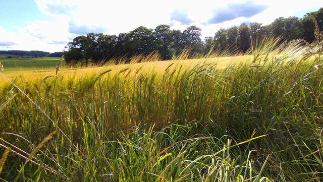
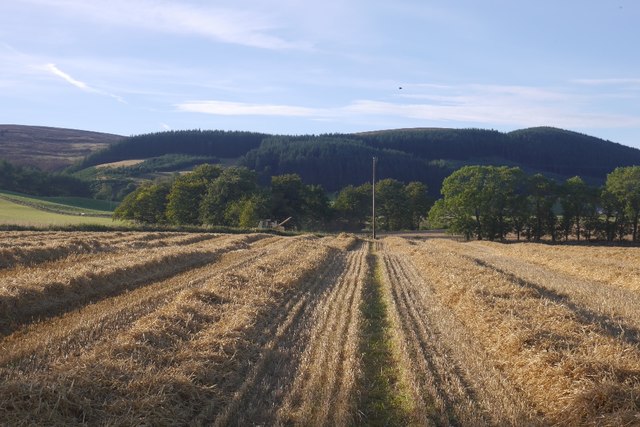
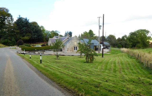
Cleik-him-in Pot, located in Aberdeenshire, Scotland, is a picturesque freshwater marsh that serves as a serene haven for both wildlife and visitors alike. Spanning across a modest area, the pot is a combination of a lake, pool, pond, and marsh, offering a diverse ecosystem and a stunning natural landscape.
The pot is characterized by its calm and tranquil waters, which are often surrounded by lush vegetation and reeds. This unique combination of water and marshland creates an ideal habitat for a variety of plant and animal species. The pot is particularly known for its rich birdlife, attracting an array of species such as waterfowl, waders, and songbirds. Birdwatchers will be delighted by the opportunity to spot rare or migratory species in this serene setting.
The pot also supports a diverse aquatic ecosystem. Its clear and shallow waters provide a suitable environment for fish species like trout and pike, making it a popular spot for anglers. The presence of aquatic plants further enhances the pot's ecological value, providing shelter and food for various invertebrates and amphibians.
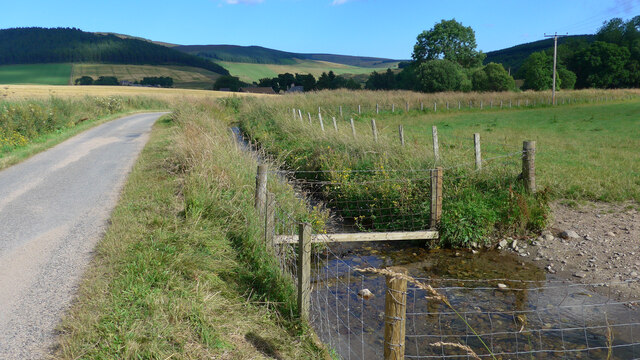
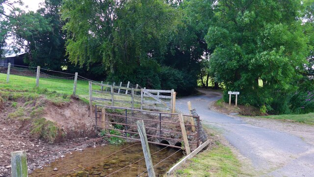
For visitors, Cleik-him-in Pot offers a peaceful and idyllic setting, perfect for a leisurely stroll or a picnic by the water's edge. The surrounding area boasts beautiful scenery, with rolling hills and a tranquil atmosphere that invites relaxation and contemplation. Nature enthusiasts will appreciate the opportunity to immerse themselves in the pot's serene environment and observe the diverse wildlife that call it home.
Overall, Cleik-him-in Pot in Aberdeenshire is a captivating freshwater marsh that combines the beauty of a lake, pool, pond, and marshland. Its rich biodiversity and serene ambiance make it a must-visit destination for nature lovers looking to experience Scotland's natural wonders.
If you have any feedback on the listing, please let us know in the comments section below.
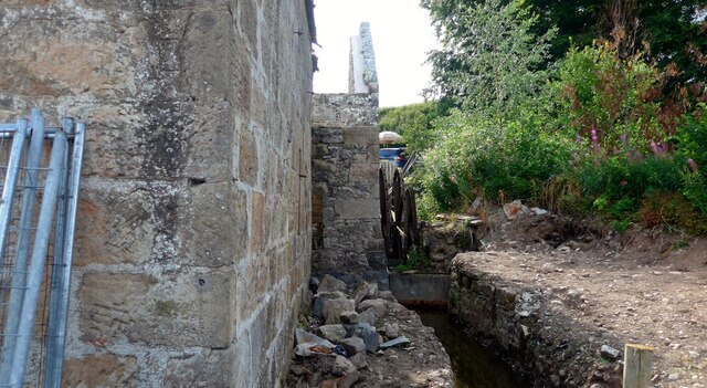
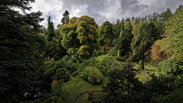
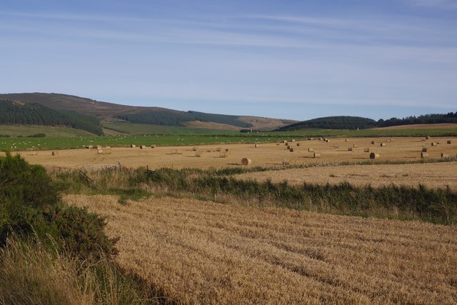
Cleik-him-in Pot Images
Images are sourced within 2km of 57.234289/-2.8745919 or Grid Reference NJ4716. Thanks to Geograph Open Source API. All images are credited.


Cleik-him-in Pot is located at Grid Ref: NJ4716 (Lat: 57.234289, Lng: -2.8745919)
Unitary Authority: Aberdeenshire
Police Authority: North East
What 3 Words
///retained.thinkers.clays. Near Alford, Aberdeenshire
Nearby Locations
Related Wikis

Kildrummy
Kildrummy (Scottish Gaelic: Cionn Droma) is a hamlet in Aberdeenshire, Scotland near the River Don, 7 miles (11 kilometres) west of Alford. The hamlet...
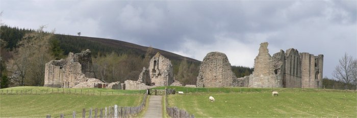
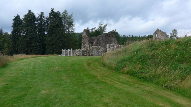
Kildrummy Castle
Kildrummy Castle is a ruined castle near Kildrummy, in Aberdeenshire, Scotland. Though ruined, it is one of the most extensive castles dating from the...

Scottish Sculpture Open
The Scottish Sculpture Open exhibition, sometimes known as the Kildrummy Open, was organised by the Scottish Sculpture Workshop from 1981 to 1997. The...
Brux Castle
Brux Castle was a castle of the Forbeses, about 1.5 miles (2.4 km) east of Kildrummy, Aberdeenshire, Scotland, south of the river Don. The castle was...

Mossat
Mossat is a settlement in Aberdeenshire, Scotland on the A97 road near Glenkindie and Lumsden, between Bridge of Alford and Strathdon, and is situated...
Towie Castle
Towie Castle was a 17th-century tower house, about 3.5 miles (5.6 km) southwest of Kildrummy in Aberdeenshire, Scotland, on the right bank of the Don....
Clova Monastery
Clova Monastery (also called Cloveth) was a medieval Culdee monastery in Kildrummy, Aberdeenshire, Scotland. == Founding == Clova was founded in the late...

Towie, Aberdeenshire
Towie is a small hamlet and civil parish in Aberdeenshire, Scotland, close to Alford and Lumsden, on the River Don.One of the most notable features of...
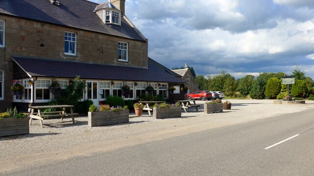
Nearby Amenities
Located within 500m of 57.234289,-2.8745919Have you been to Cleik-him-in Pot?
Leave your review of Cleik-him-in Pot below (or comments, questions and feedback).