Cameron Reservoir

Lake, Pool, Pond, Freshwater Marsh in Fife

Scotland

Cameron Reservoir

A915 - turn off to Cameron Kirk
A915 - turn off to Cameron Kirk Credit: Becky Williamson

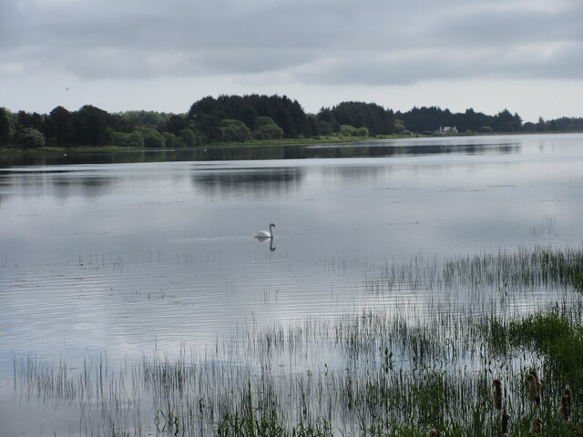
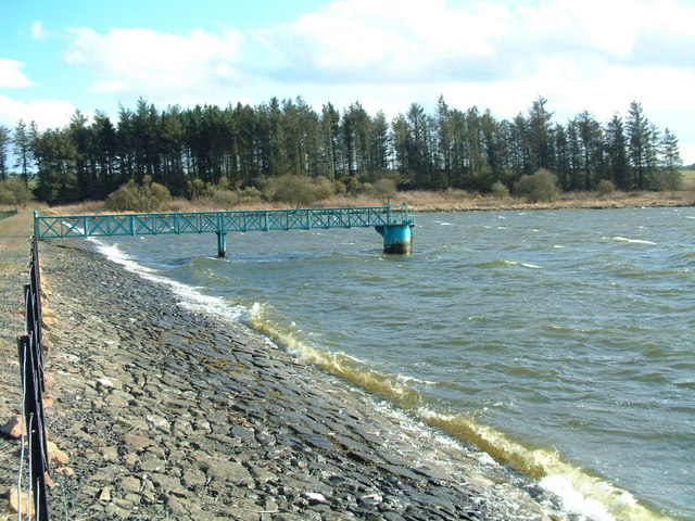
Cameron Reservoir, located in Fife, Scotland, is a freshwater body known for its serene beauty and diverse ecosystem. Spanning an area of approximately 20 hectares, it is often referred to as a lake, although it can also be classified as a pool, pond, or freshwater marsh due to its unique characteristics.

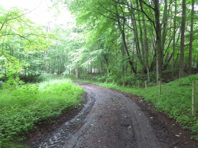
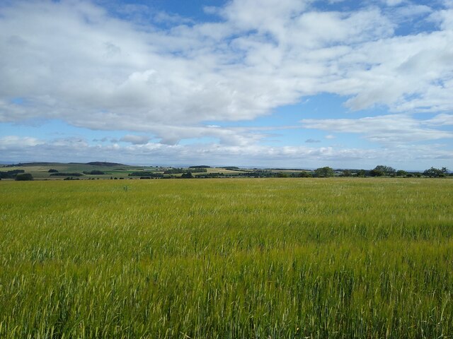
The reservoir is a man-made water feature, created in the 19th century to provide a reliable water source for the surrounding area. Its waters are sourced from nearby streams and rainwater runoff, ensuring a constant supply of clean freshwater. The reservoir is encompassed by a lush green landscape, with rolling hills and dense vegetation surrounding its banks.

Cameron Reservoir supports a varied ecosystem, making it a haven for wildlife enthusiasts and nature lovers. The waters are home to numerous fish species, including brown trout, pike, and perch, providing ample opportunities for fishing. The reservoir's marshy areas harbor a rich diversity of plant life, such as reeds, rushes, and water lilies, offering a picturesque setting for visitors.

The reservoir also serves as a sanctuary for a wide range of bird species. Birdwatchers can spot a variety of waterfowl, including swans, ducks, and herons, as well as migratory birds that visit the area during certain seasons.

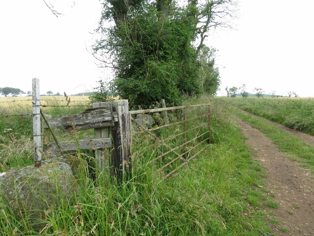
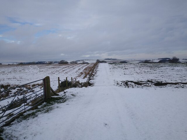
Cameron Reservoir offers recreational activities for visitors, including walking trails around its perimeter and designated picnic areas. Its tranquil surroundings and scenic views make it an ideal spot for relaxation and enjoying nature's beauty.

Overall, Cameron Reservoir in Fife is a stunning freshwater body that provides a habitat for diverse flora and fauna, offering a peaceful retreat for both wildlife and humans alike.

If you have any feedback on the listing, please let us know in the comments section below.

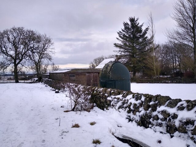
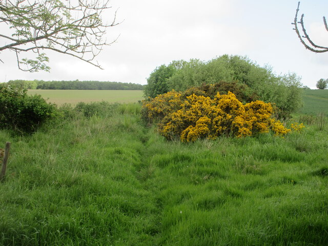
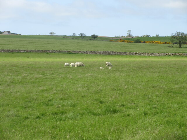
Cameron Reservoir Images

Images are sourced within 2km of 56.290774/-2.8539395 or Grid Reference NO4711. Thanks to Geograph Open Source API. All images are credited.

A915 - turn off to Cameron Kirk
Track to Winthank Farm The almost illegible sign reads: Private, No Entry.
Track to Winthank Farm
The almost illegible sign reads: Private, No Entry.
Track through Winthank Woods There are some disused lime works in this wood.
Track through Winthank Woods
There are some disused lime works in this wood.
Barley and sky Only a thin layer of information separates the vastness of the barley field from the vastness of the summer sky.
Barley and sky
Only a thin layer of information separates the vastness of the barley field from the vastness of the summer sky.
View towards Nether Radernie This field track is JUST on the western side of the boundary between two squares. The gate, from which this picture was taken, as well. This area around Cameron Reservoir often is the first appearance of snow when driving up from the East Neuk coast.
View towards Nether Radernie
This field track is JUST on the western side of the boundary between two squares. The gate, from which this picture was taken, as well. This area around Cameron Reservoir often is the first appearance of snow when driving up from the East Neuk coast.
Small observatory at Kirkton of Radernie A stylish wind turbine is right next to it, outside the frame of the picture.
Small observatory at Kirkton of Radernie
A stylish wind turbine is right next to it, outside the frame of the picture.
Track from Cameron to Denhead Track heading through the woods near the disused Winthank Lime Works.
Track from Cameron to Denhead
Track heading through the woods near the disused Winthank Lime Works.
Faint path from Cameron to Denhead Section of path from Cameron heading north through an overgrown section of scrub.
Faint path from Cameron to Denhead
Section of path from Cameron heading north through an overgrown section of scrub.
Swan on Cameron Reservoir Single swan towards the south-west corner of Cameron Reservoir.
Swan on Cameron Reservoir
Single swan towards the south-west corner of Cameron Reservoir.
Sheep and lambs Sheep with lambs in a field south of Cameron Reservoir.
Sheep and lambs
Sheep with lambs in a field south of Cameron Reservoir.
Scrubland south of Cameron Reservoir Gorse and scrub near a burn south of Cameron Reservoir.
Scrubland south of Cameron Reservoir
Gorse and scrub near a burn south of Cameron Reservoir.
Cameron Reservoir Looking over Cameron Reservoir from the eastern end.
Cameron Reservoir
Looking over Cameron Reservoir from the eastern end.
Cameron Kirk Looking to the church at Cameron from the south-eastern corner of the kirkyard.
Cameron Kirk
Looking to the church at Cameron from the south-eastern corner of the kirkyard.
A915 Milestone Milestone with rusting cast-iron cap in the undergrowth by the A915 six miles south of St Andrews.
A915 Milestone
Milestone with rusting cast-iron cap in the undergrowth by the A915 six miles south of St Andrews.
C41 and A915 junction The C41 (Fife) road meeting the A915 near Lathockar.
C41 and A915 junction
The C41 (Fife) road meeting the A915 near Lathockar.
Heathland near Lathockar Looking south from the C41 road to heathland near Lathockar.
Heathland near Lathockar
Looking south from the C41 road to heathland near Lathockar.
Cassindonald Wetland and farmland. Beyond the barley is an area of marshland with scattered willows.
Cassindonald
Wetland and farmland. Beyond the barley is an area of marshland with scattered willows.
Barley, Drumcarro. Much of this square is arable. Barley here, and I saw oilseed rape near by. The tramlines are clearly visible, these are used to spray the crop without damaging it.
Barley, Drumcarro.
Much of this square is arable. Barley here, and I saw oilseed rape near by. The tramlines are clearly visible, these are used to spray the crop without damaging it.
Show me another place!

Cameron Reservoir is located at Grid Ref: NO4711 (Lat: 56.290774, Lng: -2.8539395)

Unitary Authority: Fife

Police Authority: Fife

What 3 Words

///downward.deny.seatbelt. Near St Andrews, Fife

Nearby Locations

Cameron Reservoir

Related Wikis

Cameron Reservoir

Cameron Reservoir is an artificial loch in the parish of Cameron in east Fife, Scotland. Covering an area of 69 hectares, it serves as a domestic water...

Cameron, Fife

Cameron is a parish in east Fife, Scotland, 3½ miles south-west of St Andrews.It is bounded on the north by the parish of St Andrews, on the east by Dunino...

Peat Inn

Peat Inn is a hamlet in Fife, Scotland, around 7 miles (11 kilometres) southeast of Cupar on the B940 and 6 miles (10 kilometres) southwest of St Andrews...

Riggin o Fife

The Riggin o Fife is an upland area of Fife, Scotland which runs eastward from the Markinch Gap and the Howe of Fife to form the elevated hinterland to...

Craigtoun Miniature Railway

The Craigtoun Park Railway is a 15 in (381 mm) gauge railway operating on a circular track around part of the Craigtoun Country Park in St Andrews, Fife...

Craigtoun Country Park

Craigtoun Country Park is a country park located approximately 4 miles to the south-west of St Andrews in the county of Fife, Scotland. The site is currently...

Lathones

Lathones (/lə'θonz/) is a village in Fife, Scotland, located approximately six miles (10 km) south west of St Andrews, in the parish of Cameron in the...

Largoward

Largoward is a village in East Fife, Scotland, lying on the road from Leven to St Andrews in the Riggin o Fife, 4½ miles north-east of Lower Largo and...

Have you been to Cameron Reservoir?

Leave your review of Cameron Reservoir below (or comments, questions and feedback).