Underbarrow Pool

Lake, Pool, Pond, Freshwater Marsh in Westmorland South Lakeland

England

Underbarrow Pool

Barrowfield trig point above Scout Scar There is an Ordnance Survey benchmark <a href="https://www.geograph.org.uk/photo/7660251">SD4891 : Benchmark on Barrowfield triangulation pillar</a> set into the face of the pillar towards the camera. The pillar is described at <span class="nowrap"><a title="https://trigpointing.uk/trig/1062" rel="nofollow ugc noopener" href="https://trigpointing.uk/trig/1062">Link</a><img style="margin-left:2px;" alt="External link" title="External link - shift click to open in new window" src="https://s1.geograph.org.uk/img/external.png" width="10" height="10"/></span>
Barrowfield trig point above Scout Scar Credit: Roger Templeman

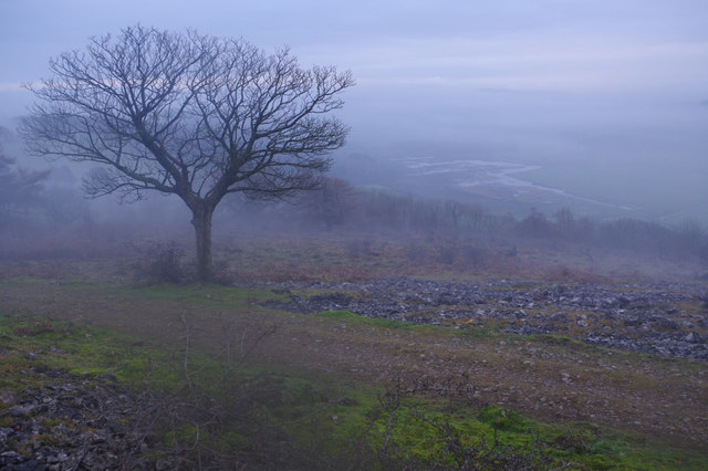
Underbarrow Pool is a picturesque freshwater marsh located in the county of Westmorland, England. Situated in the heart of the Lake District National Park, it is a small yet charming body of water that offers a tranquil and serene environment for visitors and wildlife alike.

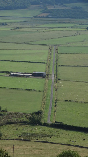
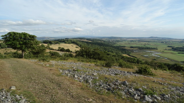
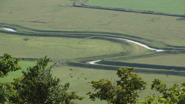
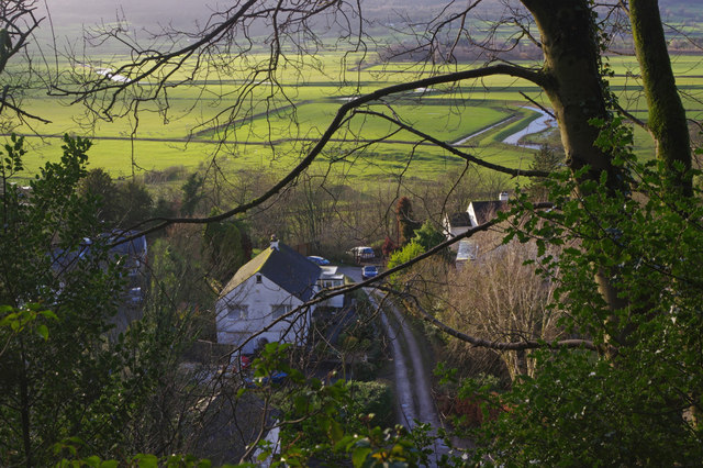
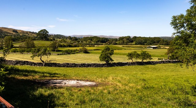
Covering an area of roughly 2 acres, Underbarrow Pool is surrounded by lush greenery and rolling hills, providing a stunning backdrop for nature enthusiasts. The pool itself is relatively shallow, with an average depth of around 2 meters, and is fed by a small stream that meanders through the surrounding fields.

The pool is home to a diverse range of flora and fauna, making it a popular spot for birdwatchers and wildlife enthusiasts. During the spring and summer months, visitors can expect to see an array of water-loving plants such as reeds, rushes, and water lilies, which provide a haven for insects and amphibians.

Birdlife is abundant at Underbarrow Pool, with numerous species making it their home or stopping by during their migratory journeys. Visitors may spot common waterfowl such as mallards and moorhens, as well as more elusive species like kingfishers and herons.

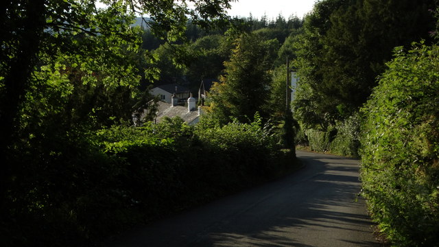
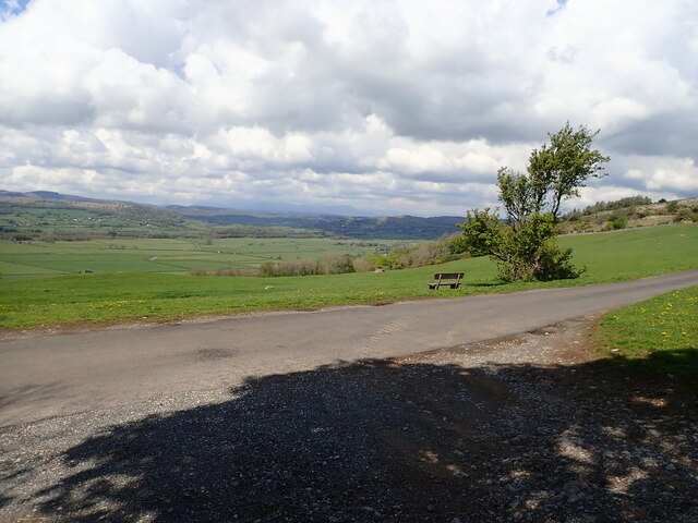
For those seeking a peaceful retreat in nature, Underbarrow Pool offers a scenic and tranquil setting. With its diverse ecosystem and beautiful surroundings, this hidden gem in Westmorland is a must-visit for anyone seeking to explore the natural wonders of the Lake District.

If you have any feedback on the listing, please let us know in the comments section below.

Underbarrow Pool Images

Images are sourced within 2km of 54.305761/-2.8162471 or Grid Reference SD4690. Thanks to Geograph Open Source API. All images are credited.

Barrowfield trig point above Scout Scar There is an Ordnance Survey benchmark <a href="https://www.geograph.org.uk/photo/7660251">SD4891 : Benchmark on Barrowfield triangulation pillar</a> set into the face of the pillar towards the camera. The pillar is described at <span class="nowrap"><a title="https://trigpointing.uk/trig/1062" rel="nofollow ugc noopener" href="https://trigpointing.uk/trig/1062">Link</a><img style="margin-left:2px;" alt="External link" title="External link - shift click to open in new window" src="https://s1.geograph.org.uk/img/external.png" width="10" height="10"/></span>
Barrowfield trig point above Scout Scar
There is an Ordnance Survey benchmark SD4891 : Benchmark on Barrowfield triangulation pillar set into the face of the pillar towards the camera. The pillar is described at LinkExternal link
View from top of Scout Scar
Brigsteer Causeway from road to Helsington Church
Path at southern end of Helsington Barrows
Helsington Pool (creek) as seen from S of Helsington Barrows
Brigsteer Brow leading into Brigsteer
Brigsteer Looking over part of Brigsteer village with the Lyth Valley beyond.
Brigsteer
Looking over part of Brigsteer village with the Lyth Valley beyond.
Brigsteer Brow The road drops down quite steeply into Brigsteer village.
Brigsteer Brow
The road drops down quite steeply into Brigsteer village.
Approaching Brigsteer Looking along the road from Underbarrow at the junction for a narrow lane that heads across the Lyth Valley. The blackboard advertises the Wheatsheaf 'Award winning inn'.
Approaching Brigsteer
Looking along the road from Underbarrow at the junction for a narrow lane that heads across the Lyth Valley. The blackboard advertises the Wheatsheaf 'Award winning inn'.
Helsington Barrows Bleak conditions above Brigsteer village with fog lying in the Lyth Valley. Despite appearances the weather is mild for the time of year. This is National Trust land.
Helsington Barrows
Bleak conditions above Brigsteer village with fog lying in the Lyth Valley. Despite appearances the weather is mild for the time of year. This is National Trust land.
Helsington Barrows Looking down in misty conditions into the Lyth Valley from above Brigsteer.
Helsington Barrows
Looking down in misty conditions into the Lyth Valley from above Brigsteer.
Old Milepost by Brigsteer Road, Brigsteer, Kendal parish Metal post with attached metal plates by the UC road, in parish of KENDAL (SOUTH LAKELAND District), Brigsteer, in bank, on East side of road. Day iron casting, erected by the County Council in the 20th century. 

Inscription reads:-
: KENDAL / 3 / MILES : : 1900 : : BRIG / STEER / ¼ / MILE :
Maker:-
: DAY / KENDAL : 

Milestone Society National ID: WE_KDBS03.
Old Milepost by Brigsteer Road, Brigsteer, Kendal parish
Metal post with attached metal plates by the UC road, in parish of KENDAL (SOUTH LAKELAND District), Brigsteer, in bank, on East side of road. Day iron casting, erected by the County Council in the 20th century. Inscription reads:- : KENDAL / 3 / MILES : : 1900 : : BRIG / STEER / ¼ / MILE : Maker:- : DAY / KENDAL : Milestone Society National ID: WE_KDBS03.
Lyth Valley
Lyth Valley
Limestone pavement A small area of limestone pavement at the south end of Helsington Barrows. The Kent estuary is in the far distance.
Limestone pavement
A small area of limestone pavement at the south end of Helsington Barrows. The Kent estuary is in the far distance.
Scots pines At the south end of Helsington Barrows.
Scots pines
At the south end of Helsington Barrows.
The Lyth Valley View north-west from the Church of St John Helsington with a bench to sit and take it all in
The Lyth Valley
View north-west from the Church of St John Helsington with a bench to sit and take it all in
Windy Howe At the top of Brigsteer Brow,
Windy Howe
At the top of Brigsteer Brow,
Dawson Fold Farm
Dawson Fold Farm
Show me another place!

Underbarrow Pool is located at Grid Ref: SD4690 (Lat: 54.305761, Lng: -2.8162471)

Administrative County: Cumbria

District: South Lakeland

Police Authority: Cumbria

What 3 Words

///contacts.divided.matchbox. Near Kendal, Cumbria

Related Wikis

Helsington

Helsington is a civil parish in the South Lakeland district of the English county of Cumbria. It includes the village of Brigsteer and Sizergh Castle...
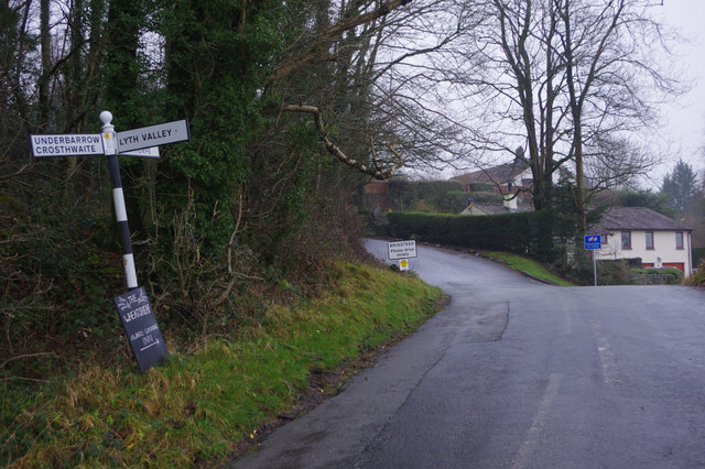
Brigsteer

Brigsteer is a village in Cumbria, England. On 1 August 2016 it was included in the Lake District National Park. == Politics == In 1974, under the Local...
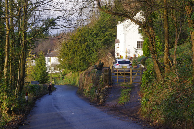
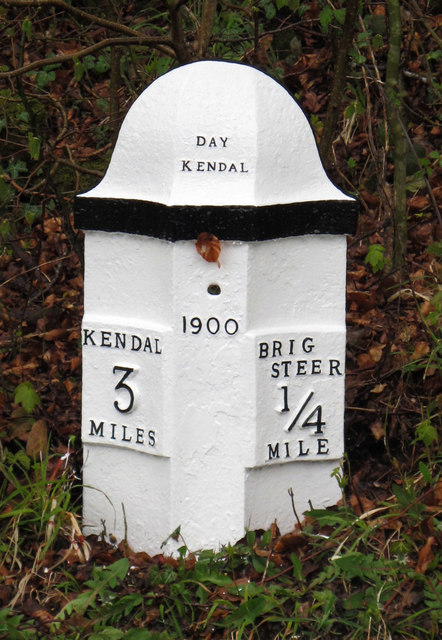
Underbarrow

Underbarrow is a small village in Cumbria, England, located 3 miles (4.8 km) west of Kendal. The village is in the Lake District National Park. It is in...

Lyth Valley

The Lyth Valley is on the edge of the Lake District National Park in Cumbria, England. It gives its name to an electoral ward (one of 45 in South Lakeland...

Nearby Amenities

Located within 500m of 54.305761,-2.8162471
Power: pole
Lat/Long: 54.3031456/-2.81003
Power: pole
Lat/Long: 54.3041281/-2.8105111
Power: pole
Lat/Long: 54.304824/-2.8089275
The data included in this document is from www.openstreetmap.org. The data is made available under ODbL.

Have you been to Underbarrow Pool?

Leave your review of Underbarrow Pool below (or comments, questions and feedback).