Bogle Pool

Lake, Pool, Pond, Freshwater Marsh in Selkirkshire

Scotland

Bogle Pool

Valley of the Yair Burn Looking east from Yair Hope with the Eildon Hills providing a striking skyline.
Valley of the Yair Burn Credit: Jim Barton

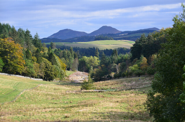
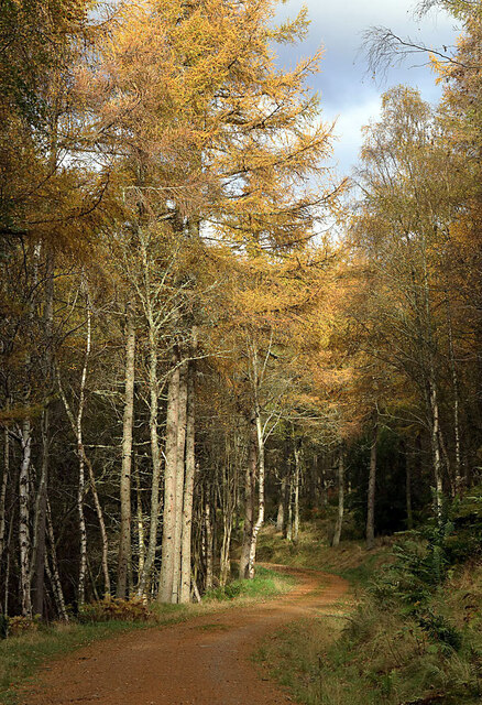
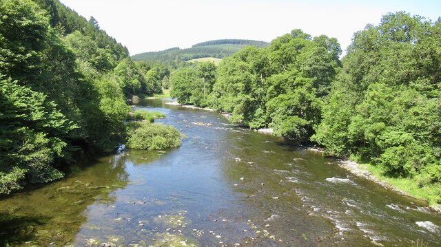
Bogle Pool is a small freshwater body located in Selkirkshire, Scotland. It is situated within a picturesque landscape, surrounded by lush greenery and rolling hills. The pool covers an area of about 2 acres and is known for its crystal-clear waters.

The pool has a maximum depth of approximately 5 meters, with a gently sloping bottom. It is fed by a small stream that flows into the pool from the nearby hills. The water in Bogle Pool is predominantly sourced from rainfall and groundwater, making it a refreshing and clean body of water.

The pool supports a diverse ecosystem, with various species of aquatic plants and animals calling it home. The shallower areas of the pool are covered with water lilies and other floating plants, providing shelter and food for numerous invertebrates and small fish.

Bogle Pool is a popular destination for anglers, as it is home to a healthy population of brown trout. Fishing enthusiasts can be seen casting their lines from the banks of the pool, hoping to catch a prized trout. The tranquility and natural beauty of the pool also make it a favored spot for nature lovers and photographers.

Overall, Bogle Pool offers a serene and idyllic setting for visitors to enjoy the beauty of nature. Whether it be for fishing, birdwatching, or simply taking in the peaceful atmosphere, this small freshwater body in Selkirkshire is a hidden gem that showcases the natural wonders of Scotland.

If you have any feedback on the listing, please let us know in the comments section below.
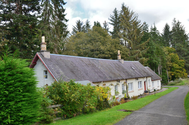
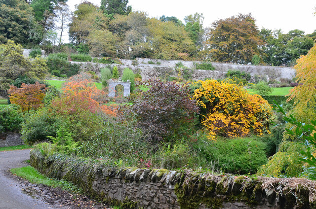
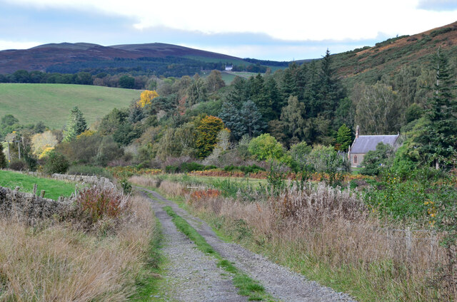
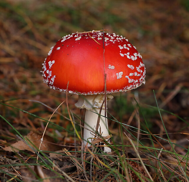
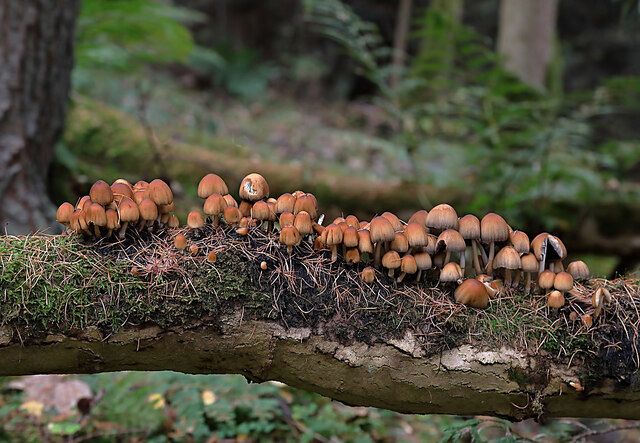
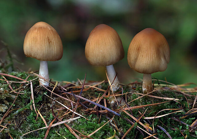
Bogle Pool Images

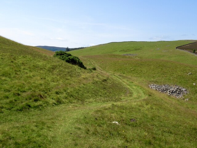
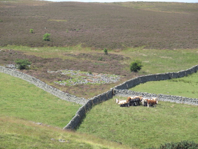
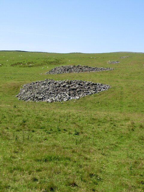
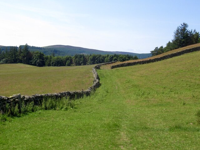
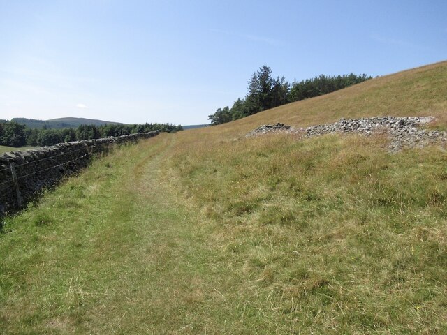
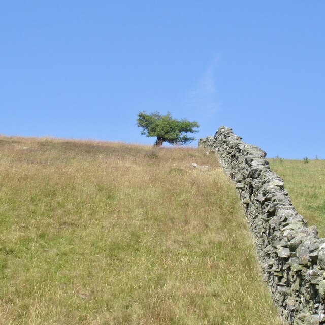
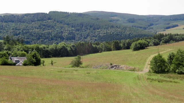
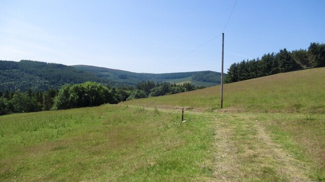
Images are sourced within 2km of 55.594153/-2.8672423 or Grid Reference NT4533. Thanks to Geograph Open Source API. All images are credited.

Valley of the Yair Burn Looking east from Yair Hope with the Eildon Hills providing a striking skyline.
Valley of the Yair Burn
Looking east from Yair Hope with the Eildon Hills providing a striking skyline.
Cottages on Yair estate On the road on the south side of the Yair Burn.
Cottages on Yair estate
On the road on the south side of the Yair Burn.
The walled garden at Yair The garden showing some attractive autumn colours.
The walled garden at Yair
The garden showing some attractive autumn colours.
Track near Caddonfoot The track follows the south bank of the Tweed between Yair Bridge and Ashiestiel Bridge. Caddonfoot Parish Church is in view across the river.
Track near Caddonfoot
The track follows the south bank of the Tweed between Yair Bridge and Ashiestiel Bridge. Caddonfoot Parish Church is in view across the river.
A fly agaric mushroom (Amanita muscaria) This mushroom which is usually associated with birch and pine trees is one of the easiest species to recognise.
A fly agaric mushroom (Amanita muscaria)
This mushroom which is usually associated with birch and pine trees is one of the easiest species to recognise.
Glistening ink cap mushrooms (Coprinellus micaceus) This edible species is usually associated with dead tree stumps or buried wood. The photograph was taken in Lindinny Wood.
Glistening ink cap mushrooms (Coprinellus micaceus)
This edible species is usually associated with dead tree stumps or buried wood. The photograph was taken in Lindinny Wood.
A forestry track in Howlands Plantation
Southern Upland Way On a warm afternoon - westbound from the cairn.
Southern Upland Way
On a warm afternoon - westbound from the cairn.
Cattle, head of the Stannis Burn The heather is just beginning to bloom.
Cattle, head of the Stannis Burn
The heather is just beginning to bloom.
Clearance cairns A lot of stone was removed to win these fields
Clearance cairns
A lot of stone was removed to win these fields
Southern Upland Way, Hog Hill
Southern Upland Way, Hog Hill Before the plunge down to the Tweed.
Southern Upland Way, Hog Hill
Before the plunge down to the Tweed.
Hog Hill
Hog Hill
Drying grassland, Calfshaw The following six weeks were also dry, rains returned in September 2022.
Drying grassland, Calfshaw
The following six weeks were also dry, rains returned in September 2022.
Calfshaw View over Tweeddale from the Southern Upland Way.
Calfshaw
View over Tweeddale from the Southern Upland Way.
Southern Upland Way, Calfshaw Good conditions for the bike, but a serious issue for livestock farmers.
Southern Upland Way, Calfshaw
Good conditions for the bike, but a serious issue for livestock farmers.
River Tweed, Fairnielee Upstream from Yair Bridge.
River Tweed, Fairnielee
Upstream from Yair Bridge.
Show me another place!

Bogle Pool is located at Grid Ref: NT4533 (Lat: 55.594153, Lng: -2.8672423)

Unitary Authority: The Scottish Borders

Police Authority: The Lothians and Scottish Borders

What 3 Words

///scripted.grapevine.entrusted. Near Galashiels, Scottish Borders

Related Wikis

Yair, Scottish Borders

Yair, also known as The Yair, is an estate in the Scottish Borders. It stands by the River Tweed in the former county of Selkirkshire, 2.5 miles (4.0 km...

Yair Bridge

The Yair Bridge or Fairnilee Bridge is a bridge across the River Tweed at Yair, near Galashiels in the Scottish Borders. == History == It was built in...

Caddon Water

The Caddon Water (Scottish Gaelic: Cadan) is a small river by the village of Caddonfoot, in the Scottish Borders area of Scotland. It rises on Windlestraw...

Caddonfoot

Caddonfoot (Scottish Gaelic: Bun Chadain) is a village on the River Tweed, in the Scottish Borders area of Scotland, on the A707, near Galashiels. The...

Nearby Amenities

Located within 500m of 55.594153,-2.8672423
Power: pole
Lat/Long: 55.596862/-2.872648
Power: pole
Lat/Long: 55.5961317/-2.872206
Power: pole
Lat/Long: 55.5954955/-2.8718854
Power: pole
Lat/Long: 55.5947723/-2.871455
Power: pole
Lat/Long: 55.5940433/-2.8710339
Power: pole
Lat/Long: 55.5933233/-2.8706315
Power: pole
Lat/Long: 55.5926565/-2.8702641
Power: pole
Lat/Long: 55.5919691/-2.8698336
Power: pole
Lat/Long: 55.5915872/-2.8685796
Material: wood
Power: pole
Lat/Long: 55.5910802/-2.8674933
Material: wood
Power: pole
Lat/Long: 55.5904845/-2.8675175
Material: wood
Power: pole
Lat/Long: 55.58981/-2.8675523
The data included in this document is from www.openstreetmap.org. The data is made available under ODbL.

Have you been to Bogle Pool?

Leave your review of Bogle Pool below (or comments, questions and feedback).