Graemston Loch
Lake, Pool, Pond, Freshwater Marsh in Orkney
Scotland
Graemston Loch

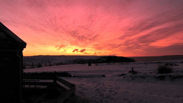
Graemston Loch, located in Orkney, Scotland, is a stunning freshwater loch surrounded by breathtaking natural beauty. Situated in a remote and tranquil area, it offers a peaceful retreat for nature enthusiasts and bird watchers alike.
Covering an area of approximately 30 hectares, Graemston Loch is a shallow body of water with depths ranging from 1 to 5 meters. The loch is renowned for its crystal-clear, unpolluted waters, which sustain a diverse ecosystem. The surrounding marshlands and reed beds provide a habitat for an array of plant and animal species.
The loch serves as an important breeding ground and stopover site for a variety of migratory and resident birds. Commonly spotted species include grebes, ducks, swans, and wading birds. Birdwatchers flock to the area to observe these magnificent creatures and their behaviors.
Graemston Loch is also home to a rich variety of aquatic vegetation, including water lilies, reeds, and rushes. These plants not only enhance the loch's aesthetic appeal but also provide a vital habitat for many aquatic organisms.
The loch is accessible to the public, with footpaths and observation points strategically placed to allow visitors to admire the wildlife without disturbing the delicate ecosystem. The serene setting and serene ambiance make Graemston Loch an ideal location for nature walks, picnics, and photography.
In summary, Graemston Loch is a picturesque freshwater loch in Orkney, Scotland, offering a haven for wildlife and a place of tranquility for visitors. Its pristine waters, diverse flora and fauna, and scenic surroundings make it an enchanting destination for nature enthusiasts.
If you have any feedback on the listing, please let us know in the comments section below.
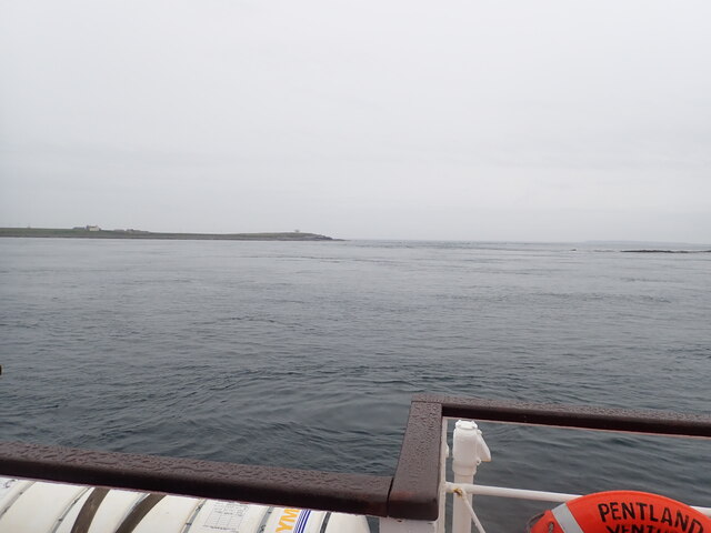
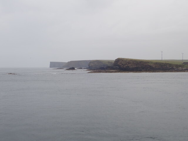
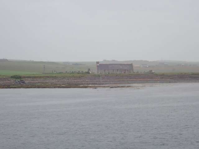
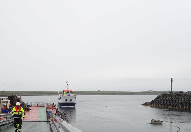
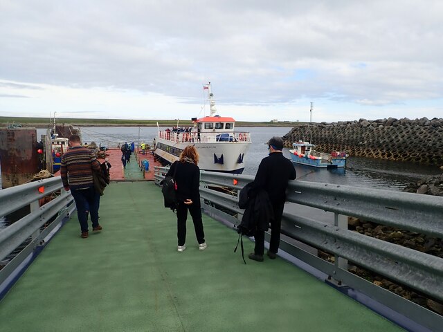
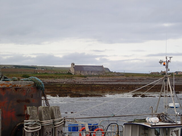
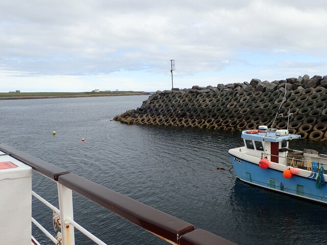
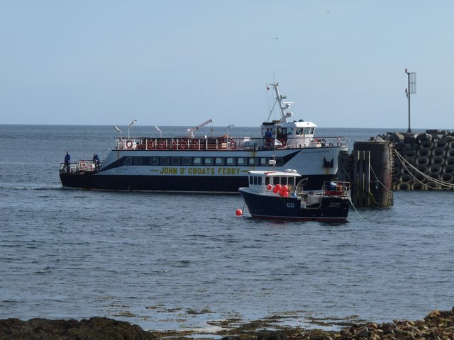
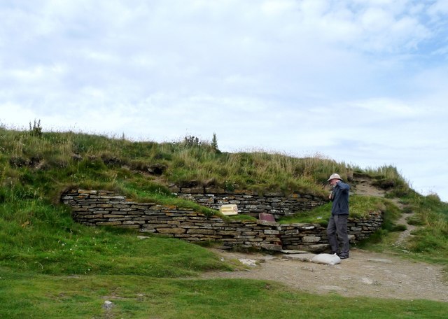
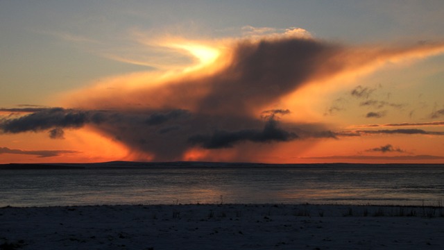
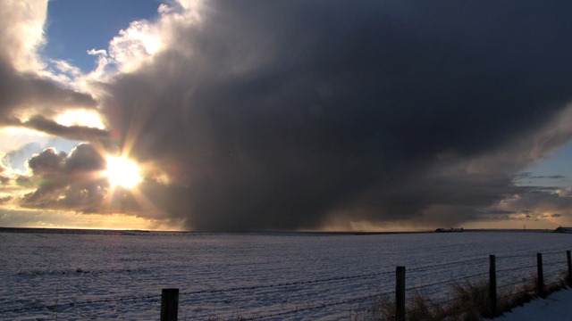
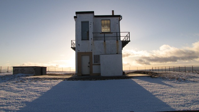
Graemston Loch Images
Images are sourced within 2km of 58.745993/-2.9509685 or Grid Reference ND4584. Thanks to Geograph Open Source API. All images are credited.


Graemston Loch is located at Grid Ref: ND4584 (Lat: 58.745993, Lng: -2.9509685)
Unitary Authority: Orkney Islands
Police Authority: Highlands and Islands
What 3 Words
///prickly.crabmeat.stealthier. Near St Margaret's Hope, Orkney Islands
Nearby Locations
Related Wikis

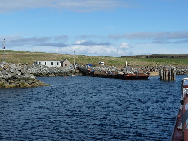
Burwick, Orkney
Burwick () is a small harbour on the island of South Ronaldsay in the Orkney Islands, Scotland. It is the closest Orkney harbour to the Scottish mainland...

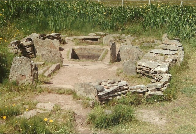
Liddle Burnt Mound
Liddle Burnt Mound is a Bronze Age site on the island of South Ronaldsay, Orkney. The site consists of the remains of a building and a mound that surrounds...

Tomb of the Eagles
The Tomb of the Eagles, or Isbister Chambered Cairn, is a Neolithic chambered tomb located on a cliff edge at Isbister on South Ronaldsay in Orkney, Scotland...

HMS Opal (1915)
HMS Opal was an Admiralty M-class destroyer of the Royal Navy. She served in the First World War following her construction at Sunderland in 1915. Attached...

South Ronaldsay
South Ronaldsay (, also , Scots: Sooth Ronalshee) is one of the Orkney Islands off the north coast of Scotland. It is linked to the Orkney Mainland by...

Swona
Swona is an uninhabited privately-owned island in the Pentland Firth off the north coast of Scotland. == Geography and geology == Swona is the more northerly...

Muckle Skerry
Muckle Skerry is the largest of the Pentland Skerries that lie off the north coast of Scotland. It is home to the Pentland Skerries Lighthouse. Muckle...

SM U-18
SM U-18 was one of 329 submarines serving in the Imperial German Navy in World War I. U-18 engaged in the commerce warfare in the First Battle of the Atlantic...
Nearby Amenities
Located within 500m of 58.745993,-2.9509685Have you been to Graemston Loch?
Leave your review of Graemston Loch below (or comments, questions and feedback).