Borrans Reservoir
Lake, Pool, Pond, Freshwater Marsh in Westmorland South Lakeland
England
Borrans Reservoir
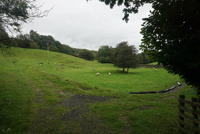
Borrans Reservoir, located in Westmorland, is a picturesque body of water that serves various purposes for the local community and wildlife. Spanning over an area of approximately 10 acres, it is best described as a freshwater pond or pool rather than a lake due to its smaller size. The reservoir is a man-made feature, created by damming a small stream that flows through the surrounding countryside.
Surrounded by lush greenery and rolling hills, Borrans Reservoir is a haven for both plant and animal life. The area around the reservoir is predominantly a freshwater marsh, characterized by the presence of reeds, rushes, and other marshland vegetation. These plants provide a habitat for numerous bird species, including ducks, geese, and herons, which can often be seen wading in the shallow waters or soaring above the reservoir.
The reservoir itself acts as a crucial water source for the local community, providing irrigation for nearby farmland and ensuring a reliable supply of freshwater. It also offers recreational opportunities for residents and visitors alike. Fishing is a popular activity, with anglers seeking out the reservoir's abundant stocks of freshwater fish such as perch, pike, and roach.
For nature enthusiasts, Borrans Reservoir offers a tranquil setting for wildlife observation and photography. The calm waters reflect the surrounding landscape, creating stunning vistas that attract artists and photographers year-round. Whether it's appreciating the diverse birdlife, casting a line for a relaxing afternoon of fishing, or simply enjoying the peaceful ambiance, Borrans Reservoir is a treasured feature of the Westmorland countryside.
If you have any feedback on the listing, please let us know in the comments section below.
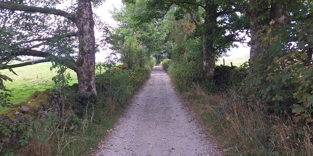
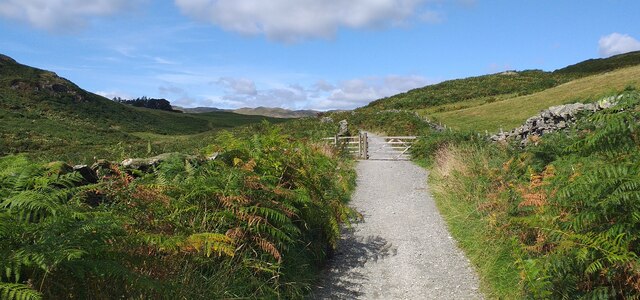
Borrans Reservoir Images
Images are sourced within 2km of 54.401159/-2.8807588 or Grid Reference NY4200. Thanks to Geograph Open Source API. All images are credited.


Borrans Reservoir is located at Grid Ref: NY4200 (Lat: 54.401159, Lng: -2.8807588)
Administrative County: Cumbria
District: South Lakeland
Police Authority: Cumbria
What 3 Words
///together.wound.loafing. Near Windermere, Cumbria
Nearby Locations
Related Wikis

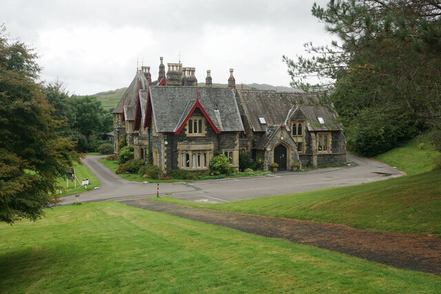
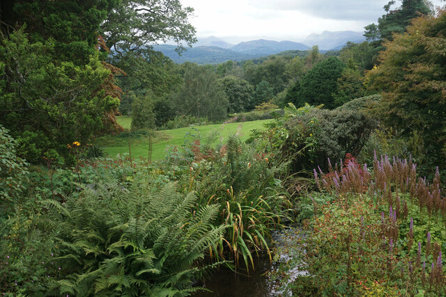
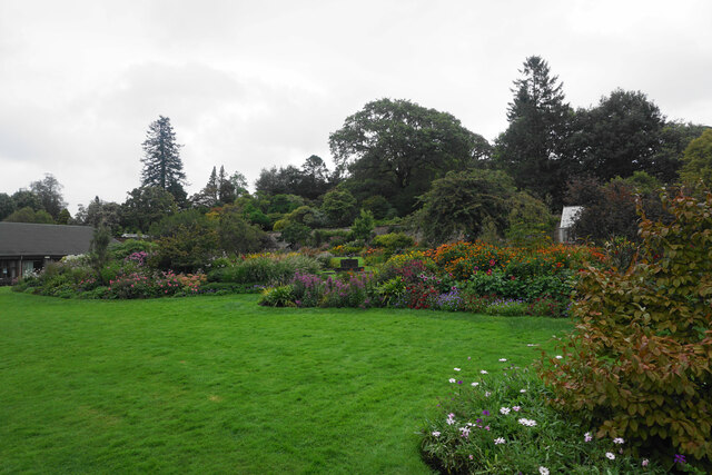
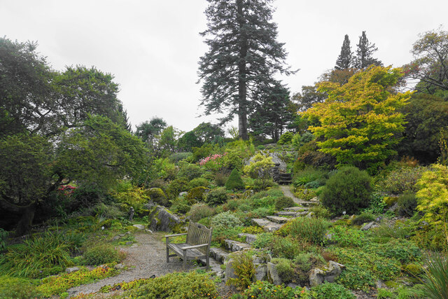
Holehird Gardens
Holehird Gardens is an extensive 10-acre site located near Windermere, Cumbria, England. It is the home of the Lakeland Horticultural Society. The garden...

Orrest Head
Orrest Head is a hill in the English Lake District on the eastern shores of Windermere. It is the subject of a chapter in Wainwright's The Outlying Fells...

Sour Howes
Sour Howes is a small fell in the English Lake District. It is situated five kilometres east of Ambleside, between the Troutbeck and Kentmere valleys and...

Windermere School
Windermere School is an independent, coeducational boarding and day school in the English Lake District. Founded in 1863, it has approximately 360 pupils...
Trout Beck
The Trout Beck is a fast flowing stream of the Lake District in North West England. It is one of the main sources of replenishment for Windermere, and...

Jesus Church, Troutbeck
Jesus Church is in the village of Troutbeck in the Lake District, Cumbria, England. It is an active Anglican parish church in the deanery of Windermere...
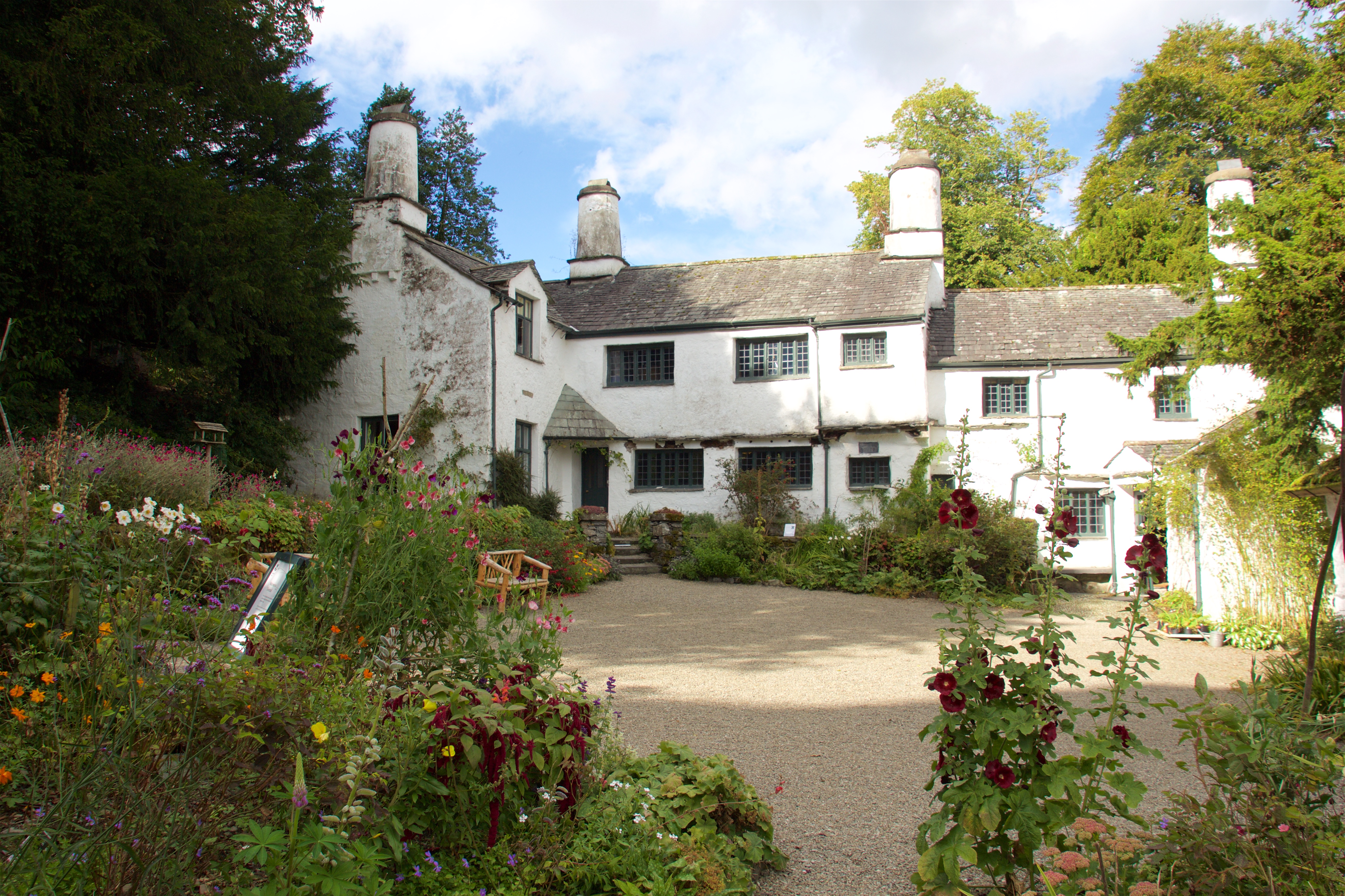
Townend
Townend is a 17th-century house located in Troutbeck, in the civil parish of Lakes, near Windermere, Cumbria, England, and in the ownership of the National...
Windermere and Troutbeck
Windermere and Troutbeck (including Bridge House) is a National Trust property consisting of land around Windermere, a lake in Cumbria, England. This National...
Nearby Amenities
Located within 500m of 54.401159,-2.8807588Have you been to Borrans Reservoir?
Leave your review of Borrans Reservoir below (or comments, questions and feedback).