Brandy Pool

Lake, Pool, Pond, Freshwater Marsh in Banffshire

Scotland

Brandy Pool

Gravel track, Keith Showground
Gravel track, Keith Showground Credit: Steven Brown

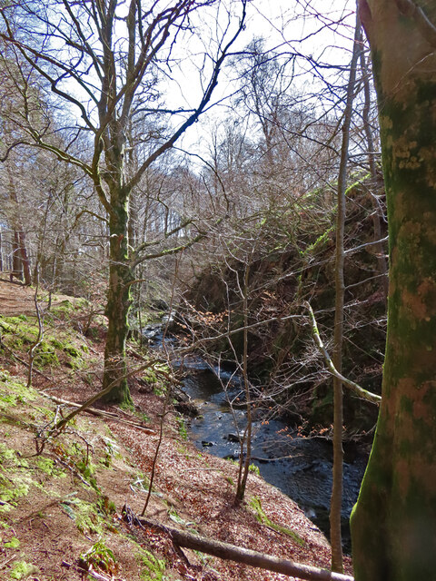
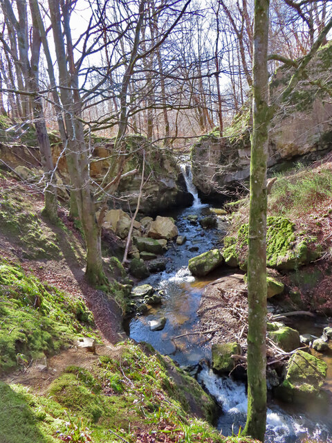
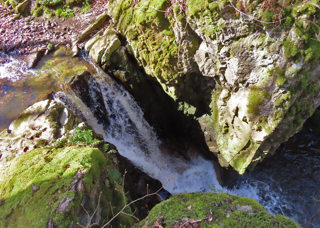
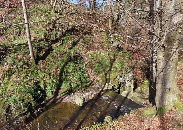
Brandy Pool, located in Banffshire, Scotland, is a stunning freshwater marsh that attracts visitors with its serene beauty and unique ecosystem. Nestled amidst the picturesque landscape, this natural wonder is a haven for wildlife and a popular destination for nature enthusiasts.

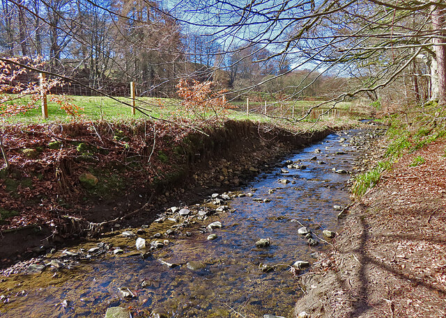
Covering a modest area, Brandy Pool is characterized by its calm and still waters, which give it the appearance of a peaceful pond. Surrounded by lush greenery and bordered by reeds, it creates a tranquil atmosphere that invites visitors to unwind and connect with nature.

The pool is home to a diverse range of flora and fauna, making it a valuable habitat for various species. Aquatic plants such as water lilies and rushes thrive in the marshy surroundings, providing shelter and food for numerous bird species, amphibians, and insects. The pool serves as a breeding ground for several waterfowl, including ducks, swans, and herons, attracting birdwatchers seeking to observe these graceful creatures in their natural habitat.

Brandy Pool is also a popular spot for fishing enthusiasts. Its clear, freshwater harbors a variety of fish species, including trout and perch, making it an ideal location for a peaceful day of angling.

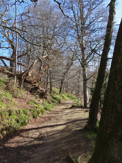
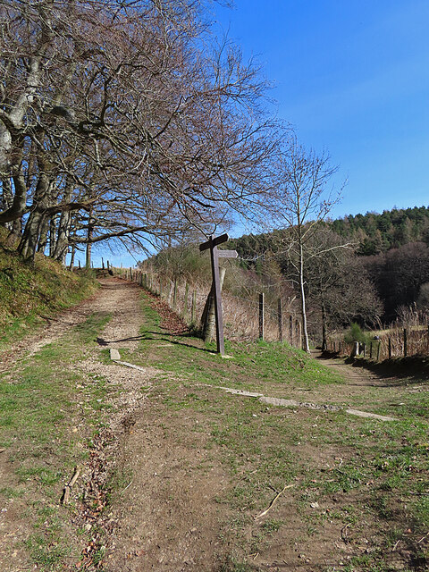
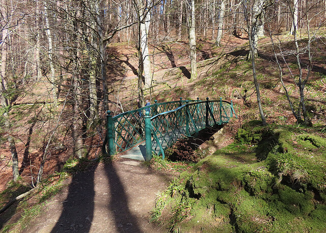
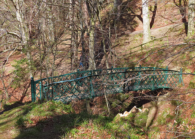
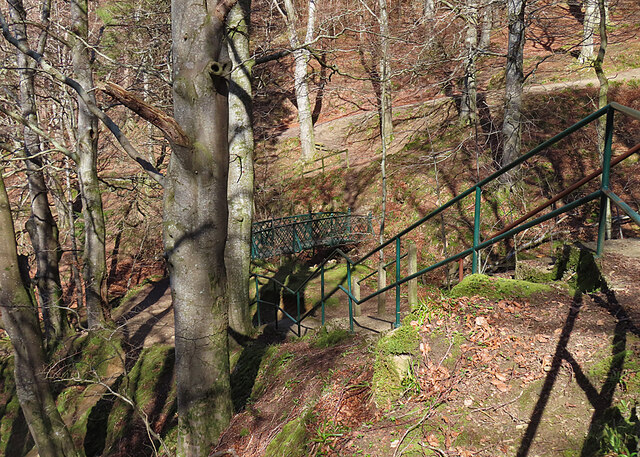
Visitors to Brandy Pool can enjoy leisurely walks along its shores, taking in the tranquil ambiance and immersing themselves in the natural beauty of the surrounding landscape. The pool's idyllic setting provides the perfect backdrop for picnics, photography, or simply appreciating the wonders of nature.

In summary, Brandy Pool in Banffshire is a captivating freshwater marsh, offering a peaceful sanctuary for wildlife and a delightful destination for both nature lovers and fishing enthusiasts. Its serene waters and diverse ecosystem make it a must-visit location for those seeking a tranquil and immersive natural experience.

If you have any feedback on the listing, please let us know in the comments section below.
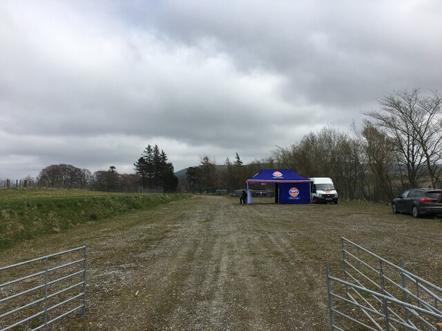
Brandy Pool Images

Images are sourced within 2km of 57.533185/-2.9621237 or Grid Reference NJ4249. Thanks to Geograph Open Source API. All images are credited.

Gravel track, Keith Showground
Prickly Sow-thistle (Sonchus asper) Developing and mature seed heads on a sow-thistle.
Prickly Sow-thistle (Sonchus asper)
Developing and mature seed heads on a sow-thistle.
Roving Trolley The trolley, presumably escaped from the supermarket in Keith, has made it as far as the old main road through the Den of Keith. There was a second one not far away; it is to be hoped that they will not breed and multiply in the wild.
Roving Trolley
The trolley, presumably escaped from the supermarket in Keith, has made it as far as the old main road through the Den of Keith. There was a second one not far away; it is to be hoped that they will not breed and multiply in the wild.
Den of Keith Mature beech trees above a carpet of Woodrush and Ramsons in the Den of Keith.
Den of Keith
Mature beech trees above a carpet of Woodrush and Ramsons in the Den of Keith.
Den of Keith A popular path follows the Den Burnthrough the woods.
Den of Keith
A popular path follows the Den Burnthrough the woods.
Den of Keith The well-used path winds through woods of Beech and Scots Pine.
Den of Keith
The well-used path winds through woods of Beech and Scots Pine.
Den of Keith The path above the Den Burn did not escape the damage in recent storms, but the fallen trees have been cleared from the path itself.
Den of Keith
The path above the Den Burn did not escape the damage in recent storms, but the fallen trees have been cleared from the path itself.
Den Burn The Den Burn rises in damp ground on the outskirts of Keith and flows south-eastwards, eventually conbining with the Burn of Tarnash to form the Burn of Drum.
Den Burn
The Den Burn rises in damp ground on the outskirts of Keith and flows south-eastwards, eventually conbining with the Burn of Tarnash to form the Burn of Drum.
Waymarker The right-hand path goes to the Falls of Tarnash, and the left-hand one returns to Keith.
Waymarker
The right-hand path goes to the Falls of Tarnash, and the left-hand one returns to Keith.
Burn of Tarnash The lower reach of the Burn of Tarnash before it meets the Den Burn.
Burn of Tarnash
The lower reach of the Burn of Tarnash before it meets the Den Burn.
Falls of Tarnash Between the trees getting in the way, and the sun being in the wrong direction, the Falls of Tarnash are not easy to photograph well. They are the result of the Burn of Tarnash encountering a small outcrop of hard and very resistant metadolomite. The surrounding country rock is mostly phyllite, psammite and semipelite.
Falls of Tarnash
Between the trees getting in the way, and the sun being in the wrong direction, the Falls of Tarnash are not easy to photograph well. They are the result of the Burn of Tarnash encountering a small outcrop of hard and very resistant metadolomite. The surrounding country rock is mostly phyllite, psammite and semipelite.
Footbridge The bridge spans the Burn of Herricks and gives access to [<a href="https://www.geograph.org.uk/photo/7449251">NJ4449 : Falls of Tarnash</a>.
Footbridge
The bridge spans the Burn of Herricks and gives access to [NJ4449 : Falls of Tarnash.
Iron Bridge The iron lattice footbridge links the Falls of Tarnash to the Den of Keith, crossing high above the Burn of Herricks.
Iron Bridge
The iron lattice footbridge links the Falls of Tarnash to the Den of Keith, crossing high above the Burn of Herricks.
Falls of Tar The modest but picturesque waterfall plunges through a narrow gap in an outcrop of hard and erosion-resistant metadolomite.
Falls of Tar
The modest but picturesque waterfall plunges through a narrow gap in an outcrop of hard and erosion-resistant metadolomite.
Above the Falls of Tarnash At right of centre you can see where the water disappears over the lip of the falls into a small gorge.
Above the Falls of Tarnash
At right of centre you can see where the water disappears over the lip of the falls into a small gorge.
Stepped Path The path climbs from the bridge over the Burn of Herricks up a series of steps to reach the top of the Falls of Tarnash.
Stepped Path
The path climbs from the bridge over the Burn of Herricks up a series of steps to reach the top of the Falls of Tarnash.
Path Junction To the left is the path through the Den of Keith, and another path, not on the maps, climbs to the right to Dunnyduff.
Path Junction
To the left is the path through the Den of Keith, and another path, not on the maps, climbs to the right to Dunnyduff.
Ivy Bridge A tree wreathed in ivy stems has fallen across the Burn of Tarnash, its fall halted by another tree on this side of the burn. The ivy, preferring to grow upwards, has abandoned its original host and is now climbing the second tree.
Ivy Bridge
A tree wreathed in ivy stems has fallen across the Burn of Tarnash, its fall halted by another tree on this side of the burn. The ivy, preferring to grow upwards, has abandoned its original host and is now climbing the second tree.
Show me another place!

Brandy Pool is located at Grid Ref: NJ4249 (Lat: 57.533185, Lng: -2.9621237)

Unitary Authority: Moray

Police Authority: North East

What 3 Words

///producers.crunchy.remotes. Near Keith, Moray

Nearby Locations

Dungeon Pool Brandy Pool

Related Wikis

St Thomas's Church, Keith

St Thomas's Church is a Roman Catholic church in Keith, in Moray, Scotland. It is a cruciform building, exhibiting features of neoclassical and baroque...

Strathmill distillery

Strathmill distillery is one of three distilleries within the Moray town of Keith at the heart of "Malt Whisky Country". Unlike Keith's other two distilleries...

Turner Memorial Hospital

Turner Memorial Hospital is a community hospital in Keith, Morayshire, Scotland. It is administered by NHS Grampian. == History == The hospital was financed...

Keith Old Bridge

Keith Old Bridge, also known as Keith Auld Brig, is a bridge over the River Isla in Keith in Moray, Scotland. Built in 1609, it is the oldest surviving...

Nearby Amenities

Located within 500m of 57.533185,-2.9621237
Design: barrel
Power: tower
Lat/Long: 57.531471/-2.9588925
Design: barrel
Power: tower
Lat/Long: 57.532654/-2.9612052
Design: barrel
Power: tower
Lat/Long: 57.5349033/-2.9656358
Design: barrel
Power: tower
Lat/Long: 57.5362489/-2.9682389
Foot: no
Ford: yes
Motor Vehicle: yes
Lat/Long: 57.5321639/-2.9660627
Man Made: tower
Tower Type: communication
Lat/Long: 57.5346164/-2.957369
Flax Mill
Historic: ruins
Lat/Long: 57.5317486/-2.9655254
The data included in this document is from www.openstreetmap.org. The data is made available under ODbL.

Have you been to Brandy Pool?

Leave your review of Brandy Pool below (or comments, questions and feedback).