Grayswood

Settlement in Surrey Waverley

England

Grayswood

No mow May, June (and July) My neighbour in Parsons Green, a keen gardener, says all the seeds have blown into her garden and created "weeds"- which as we know means a plant we don't want on our patch!
No mow May, June (and July) Credit: Basher Eyre

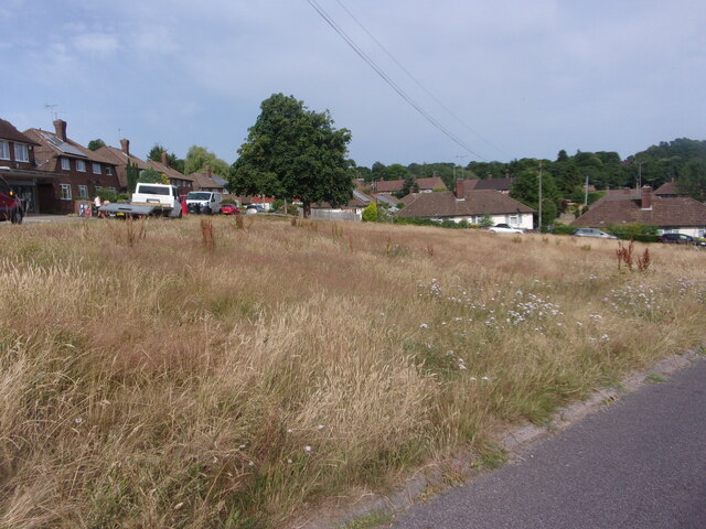
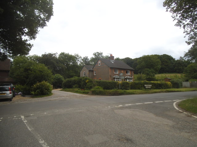
Grayswood is a picturesque village located in Surrey, England. Situated in the borough of Waverley, it is nestled in the Surrey Hills Area of Outstanding Natural Beauty. The village is surrounded by stunning countryside, offering residents and visitors a tranquil and idyllic setting.

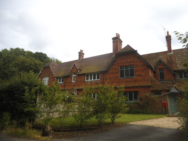
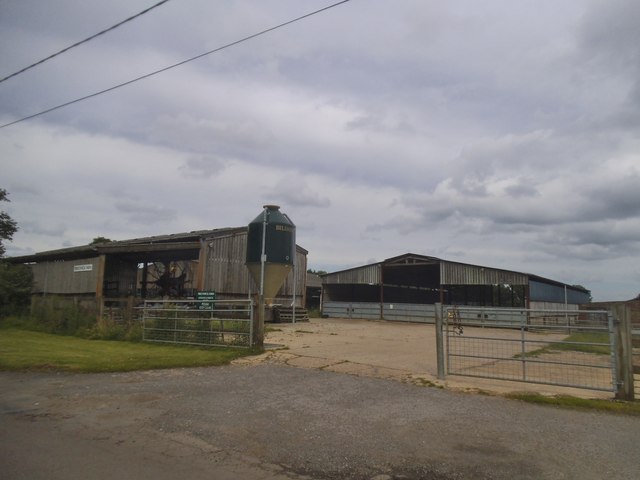
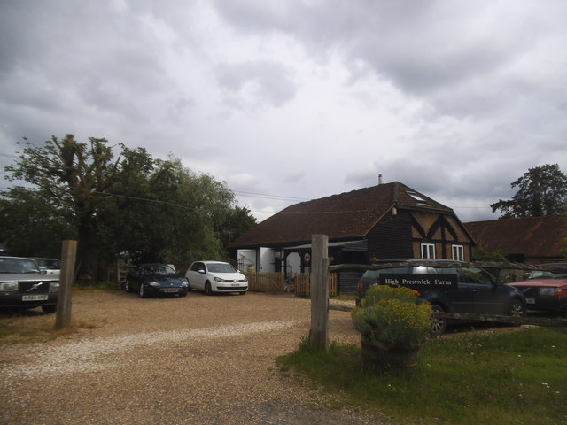
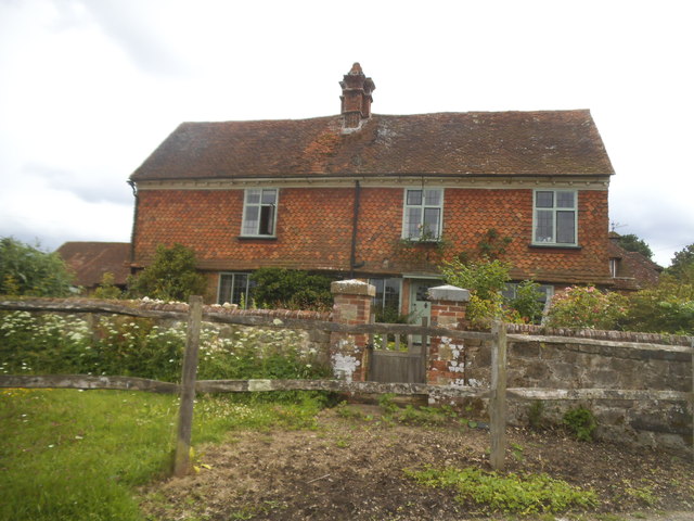
Grayswood is characterized by its charming and traditional architecture, with many of its buildings dating back to the 19th century. The village features a mix of detached houses, cottages, and converted barns, adding to its rustic charm. The community is tight-knit and welcoming, with a population of around 800 residents.

Despite its small size, Grayswood boasts a number of amenities. The village has a well-regarded primary school, providing education for local children. Additionally, there is a village shop and post office, ensuring that residents have easy access to everyday necessities. For recreational activities, there is a cricket club and a village hall that hosts various events throughout the year.

The natural surroundings of Grayswood provide ample opportunities for outdoor pursuits. The area is crisscrossed by footpaths, making it ideal for walking and hiking enthusiasts. Nearby are the Devil's Punch Bowl and Hindhead Common, which offer stunning panoramic views and diverse wildlife.

Grayswood benefits from its convenient location, with the town of Haslemere just a short distance away. Haslemere provides further amenities, including a wider range of shops, supermarkets, and a train station offering direct links to London and other major cities.

Overall, Grayswood is a quintessential English village, offering a peaceful and scenic lifestyle within easy reach of urban conveniences.

If you have any feedback on the listing, please let us know in the comments section below.

Grayswood Images

Images are sourced within 2km of 51.101989/-0.685535 or Grid Reference SU9234. Thanks to Geograph Open Source API. All images are credited.

No mow May, June (and July) My neighbour in Parsons Green, a keen gardener, says all the seeds have blown into her garden and created "weeds"- which as we know means a plant we don't want on our patch!
No mow May, June (and July)
My neighbour in Parsons Green, a keen gardener, says all the seeds have blown into her garden and created "weeds"- which as we know means a plant we don't want on our patch!
Renovations underway at The Wheatsheaf
Parsons Green: the first day of Spring
Grayswood Common
Grayswood Common
2016: a year on Geograph (Day 14) Scaffolding on a pair of houses in Weycombe Road
2016: a year on Geograph (Day 14)
Scaffolding on a pair of houses in Weycombe Road
Lower Road at the junction of Clammer Hill
Houses on Prestwick Lane, Grayswood
Prestwick Farm, Grayswood
High Prestwick Farm, Grayswood
High Prestwick Farmhouse, Grayswood
2016: a year on Geograph (Day 206) Looking east-southeast along Parsons Green
2016: a year on Geograph (Day 206)
Looking east-southeast along Parsons Green
Haslemere View in the Guildford and London direction.
Haslemere
View in the Guildford and London direction.
Haslemere A286, the northern end of the High Street. This is the road to Godalming and Guildford.
Haslemere
A286, the northern end of the High Street. This is the road to Godalming and Guildford.
2016: a year on Geograph (Day 267) Scaffolding on homes in Parsons Green
2016: a year on Geograph (Day 267)
Scaffolding on homes in Parsons Green
2016: a year on Geograph (Day 274) Looking from Pine View Close towards Whitfield Road
2016: a year on Geograph (Day 274)
Looking from Pine View Close towards Whitfield Road
2016: a year on Geograph (Day 282) A green within a green at Parsons Green
2016: a year on Geograph (Day 282)
A green within a green at Parsons Green
The epicentre of my "Bashire" At the end of The Spinney is a railway bank, and somewhere just beyond the house mid-shot is the exact centre of SU9033. This is important if like me you are starting a "Bashire" 
Running total: 1 B point
The epicentre of my "Bashire"
At the end of The Spinney is a railway bank, and somewhere just beyond the house mid-shot is the exact centre of SU9033. This is important if like me you are starting a "Bashire" Running total: 1 B point
Show me another place!

Grayswood is located at Grid Ref: SU9234 (Lat: 51.101989, Lng: -0.685535)

Administrative County: Surrey

District: Waverley

Police Authority: Surrey

What 3 Words

///bookcases.systems.exchanges. Near Haslemere, Surrey

Nearby Locations

Clammer Hill Grayswood

Related Wikis

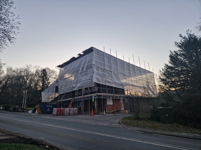
All Saints' Church, Grayswood

All Saints' Church is an active parish church in the village of Grayswood, Surrey, England. The church stands in the centre of the village and was built...

Wispers School

Wispers School was a British independent boarding school for girls aged between 11 and 18 which was founded in 1947 and which closed in 2008 after 61 years...

Oak Hall, Haslemere

Oak Hall at Haslemere, Surrey, England is a Grade II listed country house. As of 2013 it houses Oak Hall Country Club, part of the Wispers Park retirement...

Serpent Trail

The Serpent Trail is a 64-mile (103 km) long distance footpath. It runs from Haslemere to Petersfield, which are 11 miles apart in a straight line, by...

Nearby Amenities

Located within 500m of 51.101989,-0.685535
Crossing
Crossing Island: yes
Lat/Long: 51.1041229/-0.691467
Grayswood
Created By: Potlatch 0.10f
Place: hamlet
Source: npe
Lat/Long: 51.1042621/-0.6913234
Clammer Hill
Natural: peak
Source: npe
Lat/Long: 51.0986641/-0.6847858
Barrier: stile
Lat/Long: 51.1035505/-0.6800238
Bus Stop
Church
Naptan AtcoCode: 40004411179A
Naptan Bearing: NE
Naptan CommonName: Church
Naptan Indicator: O/s
Naptan Landmark: Lower Road
Naptan NaptanCode: surdtwma
Naptan Street: Grayswood Road
Public Transport: platform
Source: naptan_import
Lat/Long: 51.1044773/-0.6914572
Bus Stop
Church
Naptan AtcoCode: 40004411179B
Naptan Bearing: SW
Naptan CommonName: Church
Naptan Indicator: Opp
Naptan Landmark: Village Green
Naptan NaptanCode: surdtwmd
Naptan Street: Grayswood Road
Public Transport: platform
Shelter: yes
Source: naptan_import
Lat/Long: 51.104503/-0.6913422
Bus Stop
Church
Naptan AtcoCode: 40004411179C
Naptan Bearing: SE
Naptan CommonName: Church
Naptan Indicator: Just after
Naptan Landmark: Grayswood Road
Naptan NaptanCode: surdtwmg
Naptan Street: Lower Road
Naptan Verified: no
Source: naptan_import
Lat/Long: 51.1039798/-0.6911998
Bus Stop
Church
Naptan AtcoCode: 40004411179D
Naptan Bearing: NW
Naptan CommonName: Church
Naptan Indicator: Just Before
Naptan Landmark: Grayswood Road
Naptan NaptanCode: surdtwmj
Naptan Street: Lower Road
Naptan Verified: no
Source: naptan_import
Lat/Long: 51.103926/-0.6912156
Bus Stop
Klondyke
Naptan AtcoCode: 40004411180A
Naptan Bearing: SW
Naptan CommonName: Klondyke
Naptan Indicator: Just Before
Naptan Landmark: Klondyke
Naptan NaptanCode: surdtwmp
Naptan Street: Prestwick Lane
Naptan Verified: no
Source: naptan_import
Lat/Long: 51.1019387/-0.6856156
Klondyke
Naptan AtcoCode: 40004411180B
Naptan Bearing: NE
Naptan BusStopType: CUS
Naptan CommonName: Klondyke
Naptan Indicator: Just after
Naptan Landmark: Klondyke
Naptan NaptanCode: surgpdta
Naptan Street: Prestwick Lane
Naptan Verified: no
Source: naptan_import
Lat/Long: 51.1020304/-0.6857701
Turning Circle
Lat/Long: 51.1019234/-0.6874095
Post Box
Collection Plate: CP7D
Collection Times: Mo-Fr 09:00; Sa 07:00
Last Checked: 2020-09-17
Old Ref: GU27 144
Operator: Royal Mail
Post Box Type: lamp
Ref: GU27 144D
Royal Cypher: EIIR
Royal Cypher Wikidata: Q33102113
Source: survey
Lat/Long: 51.1021189/-0.685345
Grit Bin
Colour: yellow
Description: For highways use only.
Note: This grit bin has the description "Grit Salt" bin.
Operator: Surrey County Council
Ref: 11563
Source: survey
Lat/Long: 51.104252/-0.691495
Waste Basket
Covered: no
Source: survey
Lat/Long: 51.10378/-0.6908198
Bench
Backrest: yes
Source: survey
Lat/Long: 51.1037645/-0.6908013
Bench
Backrest: yes
Colour: brown
Material: wood
Source: survey
Lat/Long: 51.1039851/-0.6910622
Waste Basket
Colour: brown
Covered: no
Material: wood
Source: survey
Lat/Long: 51.1021105/-0.6853611
Bench
Backrest: yes
Colour: black
Source: survey
Lat/Long: 51.1020981/-0.6853772
Coco Carmel Hair Boutique
Addr City: Grayswood, Haslemere
Shop: hairdresser
Source: survey
Website: https://www.cococarmel.co.uk/
Lat/Long: 51.1033102/-0.6906208
The data included in this document is from www.openstreetmap.org. The data is made available under ODbL.

Have you been to Grayswood?

Leave your review of Grayswood below (or comments, questions and feedback).