Bright Tarn

Lake, Pool, Pond, Freshwater Marsh in Cumberland Eden

England

Bright Tarn

Greystoke Castle, near Penrith, Cumbria <span class="nowrap"><a title="www.visitcumbria.com/pen/greystok.htm" rel="nofollow ugc noopener" href="http://www.visitcumbria.com/pen/greystok.htm">Link</a><img style="margin-left:2px;" alt="External link" title="External link - shift click to open in new window" src="https://s1.geograph.org.uk/img/external.png" width="10" height="10"/></span>
Greystoke Castle, near Penrith, Cumbria Credit: Simon Ledingham

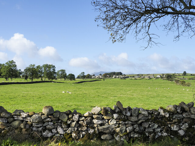
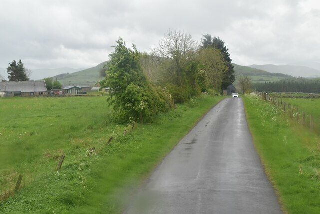
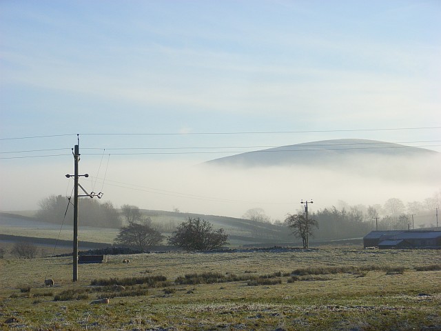
Bright Tarn is a picturesque freshwater body located in the Cumberland region, nestled amidst the scenic landscape of northwest England. This natural gem is renowned for its serene beauty and ecological significance. With a surface area of approximately 10 acres, it is classified as a tarn, which is a small mountain lake or pool formed by glacial erosion during the last ice age.

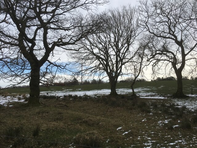
Surrounded by rolling hills and lush greenery, Bright Tarn offers a tranquil escape for nature enthusiasts and outdoor lovers. The water of the tarn is crystal clear, reflecting the surrounding landscape and creating a mesmerizing sight. It is fed by a combination of rainfall and natural springs, ensuring a constant flow of fresh, clean water.

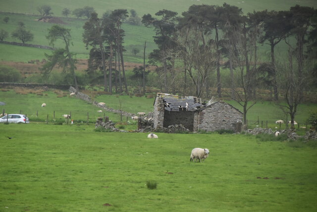
The ecosystem of Bright Tarn supports a diverse range of plant and animal species. The surrounding marshes and wetlands provide a habitat for various aquatic plants, including water lilies and reeds. These plants, in turn, attract a plethora of bird species, such as ducks, herons, and kingfishers, making it a haven for birdwatchers.

The tarn also serves as a breeding ground for fish species, including brown trout and perch, attracting anglers seeking a peaceful fishing experience. Its calm waters are ideal for kayaking, canoeing, and even paddleboarding, offering visitors a chance to explore the tarn's beauty up close.

Bright Tarn is not only a natural marvel but also holds historical significance. It has been a part of the local folklore, with tales of ghosts and mystical creatures adding to its charm. The area surrounding the tarn is dotted with walking trails, allowing visitors to experience the enchanting beauty of the Cumberland region. Whether it's a leisurely stroll or a picnic by the water's edge, Bright Tarn offers an idyllic setting for visitors to connect with nature and enjoy the serenity it provides.

If you have any feedback on the listing, please let us know in the comments section below.

Bright Tarn Images

Images are sourced within 2km of 54.655241/-2.8996081 or Grid Reference NY4229. Thanks to Geograph Open Source API. All images are credited.

Greystoke Castle, near Penrith, Cumbria <span class="nowrap"><a title="www.visitcumbria.com/pen/greystok.htm" rel="nofollow ugc noopener" href="http://www.visitcumbria.com/pen/greystok.htm">Link</a><img style="margin-left:2px;" alt="External link" title="External link - shift click to open in new window" src="https://s1.geograph.org.uk/img/external.png" width="10" height="10"/></span>
Greystoke Castle, near Penrith, Cumbria
Greenthwaite Hall, Greystoke
Looking into Greystoke Park. Fantastic farmland at the rear of Greenthwaite Hall.
Looking into Greystoke Park.
Fantastic farmland at the rear of Greenthwaite Hall.
Pasture and forest, Berrier Hill This is just outside of the Lake District National Park. In the background are Great Dodd and Clough Head.
Pasture and forest, Berrier Hill
This is just outside of the Lake District National Park. In the background are Great Dodd and Clough Head.
Pastures above Greystoke A view across the Petteril and Eden valleys to the highest of the Pennines. The scant remains of snow can just be made out on the tops of Cross Fell and the Dun Fells.
Pastures above Greystoke
A view across the Petteril and Eden valleys to the highest of the Pennines. The scant remains of snow can just be made out on the tops of Cross Fell and the Dun Fells.
Pastures above Greystoke Viewed from a limestone outcrop. The Pennines are in the distance. The woodland is on the eastern edge of the grid-square.
Pastures above Greystoke
Viewed from a limestone outcrop. The Pennines are in the distance. The woodland is on the eastern edge of the grid-square.
Pastures above Greystoke Blencathra appears beyond this southern part of Greystoke Forest.
Pastures above Greystoke
Blencathra appears beyond this southern part of Greystoke Forest.
Greenthwaite Hall near Greystoke
Fields with Motherby beyond Agricultural land north of Penruddock.
Part of the summit ridge of Blencathra is visible in the distance.
Fields with Motherby beyond
Agricultural land north of Penruddock. Part of the summit ridge of Blencathra is visible in the distance.
Trees at field edge near Berrier
Fields with farm roads beside Whitbarrow Village Whitbarrow Village is a holiday development near to Penruddock. The image shows farmland to the east of the main building on the site, the view being to the east.
The hills of the north Pennines are on the horizon.
Fields with farm roads beside Whitbarrow Village
Whitbarrow Village is a holiday development near to Penruddock. The image shows farmland to the east of the main building on the site, the view being to the east. The hills of the north Pennines are on the horizon.
Old Boundary Marker on the B5288 in Motherby Township Boundary Marker on the verge on the southeast side of the B5288 in Motherby, outside Stag Cottage West. Until 1866 this was the boundary of Motherby and Gill and Hutton Soil townships, then Greystoke and Hutton Soil parishes until 1934, then Greystoke and Hutton parishes. Now entirely in Hutton parish. The plate on the south side is now missing. The stone is inscribed MDII (1502 if these are Roman numerals) on the north side.

Milestone Society National ID: CU_HUTT02pb
Old Boundary Marker on the B5288 in Motherby
Township Boundary Marker on the verge on the southeast side of the B5288 in Motherby, outside Stag Cottage West. Until 1866 this was the boundary of Motherby and Gill and Hutton Soil townships, then Greystoke and Hutton Soil parishes until 1934, then Greystoke and Hutton parishes. Now entirely in Hutton parish. The plate on the south side is now missing. The stone is inscribed MDII (1502 if these are Roman numerals) on the north side. Milestone Society National ID: CU_HUTT02pb
Old Boundary Marker near Penruddock Hall Township Boundary Marker on the east side of the minor road south of Motherby, near Penruddock Hall and opposite water troughs. Until 1866 this was the boundary of Motherby and Gill and Hutton Soil townships, then Greystoke and Hutton Soil parishes until 1934, then Greystoke and Hutton parishes. Now entirely in Hutton parish. The plate is now missing. 

Milestone Society National ID: CU_HUTT03pb
Old Boundary Marker near Penruddock Hall
Township Boundary Marker on the east side of the minor road south of Motherby, near Penruddock Hall and opposite water troughs. Until 1866 this was the boundary of Motherby and Gill and Hutton Soil townships, then Greystoke and Hutton Soil parishes until 1934, then Greystoke and Hutton parishes. Now entirely in Hutton parish. The plate is now missing. Milestone Society National ID: CU_HUTT03pb
Minor road near Penruddock
Ruined barn
Ruined barn
A66 The A66 is a major road in northern England running from near Middlesbrough to Workington. The section between Scotch Corner and Penrith is a Trans-Pennine route between the A1 and M6, following an old Roman Road.
Wikipedia: <span class="nowrap"><a title="http://en.wikipedia.org/wiki/A66_road" rel="nofollow ugc noopener" href="http://en.wikipedia.org/wiki/A66_road">Link</a><img style="margin-left:2px;" alt="External link" title="External link - shift click to open in new window" src="https://s1.geograph.org.uk/img/external.png" width="10" height="10"/></span>
A66
The A66 is a major road in northern England running from near Middlesbrough to Workington. The section between Scotch Corner and Penrith is a Trans-Pennine route between the A1 and M6, following an old Roman Road. Wikipedia: LinkExternal link
Greenthwaite Hall A mid-16C Grade II listed farmhouse, now two dwellings.
Greenthwaite Hall
A mid-16C Grade II listed farmhouse, now two dwellings.
Pasture at Greystoke Fields across the road from Greenthwaite Hall.
Pasture at Greystoke
Fields across the road from Greenthwaite Hall.
Show me another place!

Bright Tarn is located at Grid Ref: NY4229 (Lat: 54.655241, Lng: -2.8996081)

Administrative County: Cumbria

District: Eden

Police Authority: Cumbria

What 3 Words

///situated.willpower.printouts. Near Penrith, Cumbria

Nearby Locations

Bright Tarn Greystoke Moor

Related Wikis

Penruddock railway station

Penruddock railway station was situated on the Cockermouth, Keswick and Penrith Railway between Penrith and Cockermouth in Cumberland (now in Cumbria)...

Beckces

Beckces is a hamlet approximately 800 yards (750 metres) west of Penruddock railway station on the former Cockermouth, Keswick & Penrith Railway within...
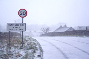
Penruddock

Penruddock is a small village in Cumbria, England, 5.5 miles to the west of Penrith. It forms part of the civil parish of Hutton. == History == The name...

Berrier

Berrier is a hamlet in Cumbria, England. It is in the civil parish of Mungrisdale, which is made up of eight hamlets and had a population of 297 in the...
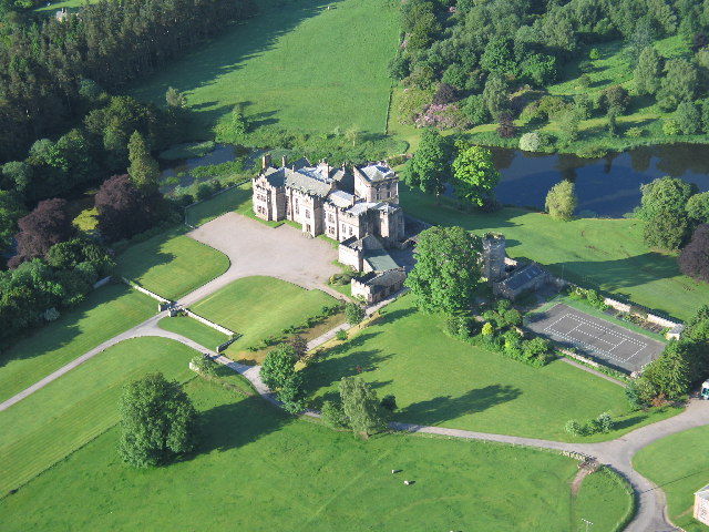
Greystoke Castle

Greystoke Castle is in the village of Greystoke 8 kilometres (5.0 mi) west of Penrith in the county of Cumbria in northern England. (grid reference NY435309...
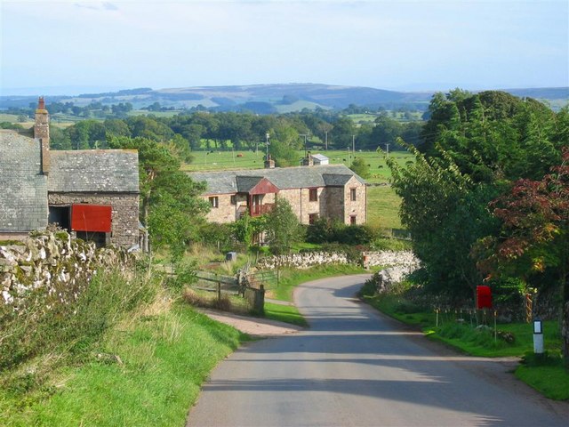
Greystoke, Cumbria

Greystoke is a village and civil parish on the edge of the Lake District National Park in Cumbria, England, about 4 miles (6.4 km) west of Penrith. At...
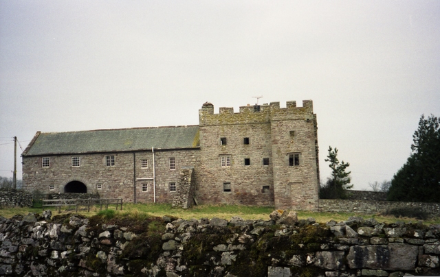
Hutton, Cumbria

Hutton is a small civil parish about 6 miles (9.7 km) west of Penrith in the English county of Cumbria. The parish contains the small mansion and former...

Blencow

Blencow or Blencowe is a small village near Penrith, Cumbria, England. It is divided by the River Petteril into Great Blencow to the south and Little Blencow...

Nearby Amenities

Located within 500m of 54.655241,-2.8996081
Greystoke Moor
Place: locality
Lat/Long: 54.6559031/-2.8996687
The data included in this document is from www.openstreetmap.org. The data is made available under ODbL.

Have you been to Bright Tarn?

Leave your review of Bright Tarn below (or comments, questions and feedback).