Bridge Pot
Lake, Pool, Pond, Freshwater Marsh in Banffshire
Scotland
Bridge Pot
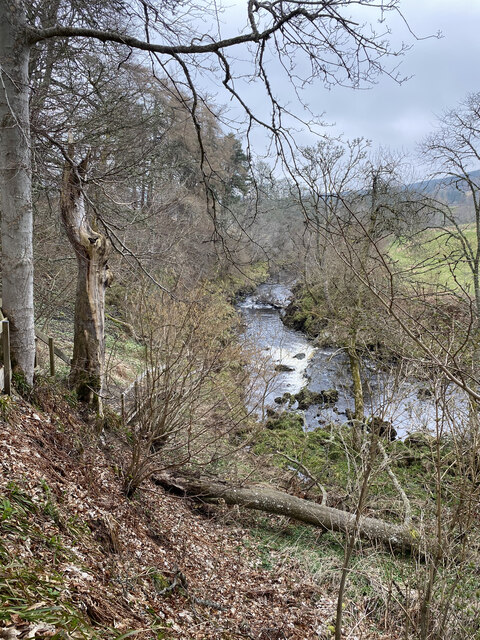
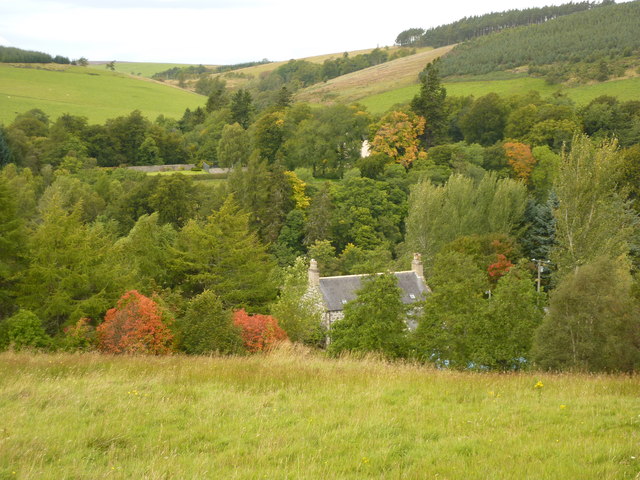
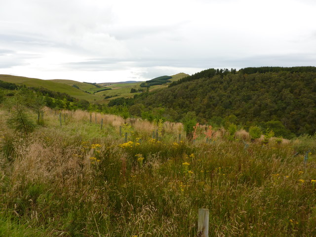
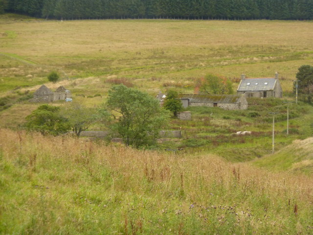
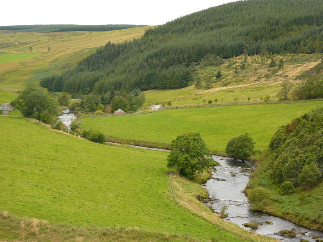
Bridge Pot is a picturesque freshwater marsh located in Banffshire, Scotland. Spanning across a compact area, it is a charming blend of a lake, pool, pond, and marsh, making it a unique and diverse ecosystem.
The centerpiece of Bridge Pot is a tranquil lake, surrounded by lush vegetation and reed beds. The lake itself is relatively small, with a surface area of approximately 2 acres. Its crystal-clear waters are fed by natural springs, ensuring a constant flow of freshwater and creating an ideal habitat for various aquatic plants and animals.
Adjacent to the lake is a shallow pool, which is home to an array of waterfowl species. This pool provides a crucial breeding ground and sanctuary for ducks, swans, and other water birds. Additionally, it serves as a popular feeding spot for numerous migratory birds during the winter months.
The surrounding area of Bridge Pot boasts a dense growth of vegetation, including a variety of marsh plants such as cattails, sedges, and water lilies. This vegetation acts as a natural filter, purifying the water and providing a habitat for countless species of insects, amphibians, and small mammals.
The diverse ecosystem of Bridge Pot is not only a haven for wildlife but also a cherished recreational spot for locals and visitors alike. It offers opportunities for fishing, birdwatching, and peaceful walks along its shores. The stunning natural beauty and tranquility of Bridge Pot make it a must-visit destination for nature enthusiasts seeking to immerse themselves in the wonders of Banffshire's countryside.
If you have any feedback on the listing, please let us know in the comments section below.
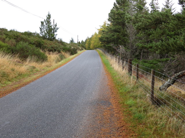
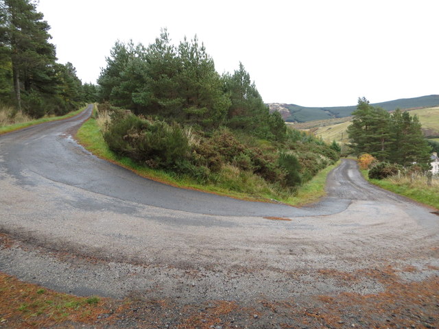
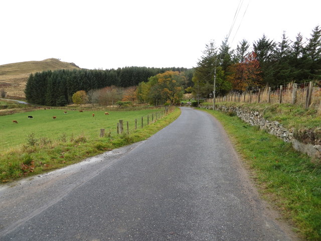
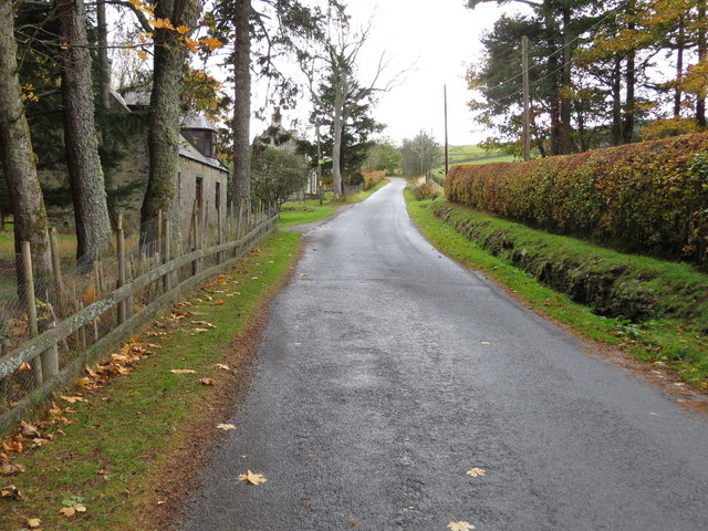
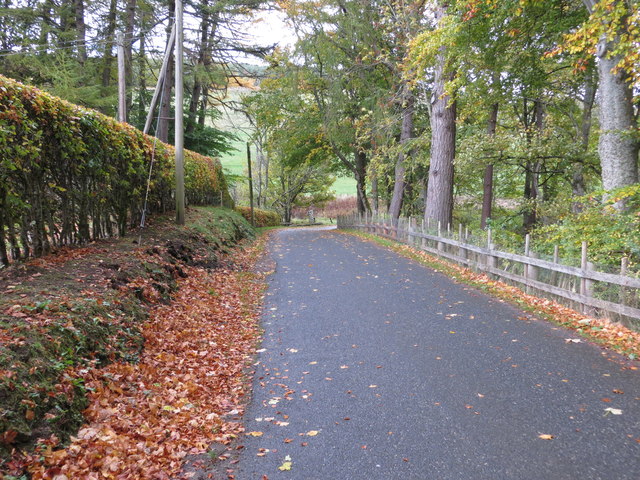
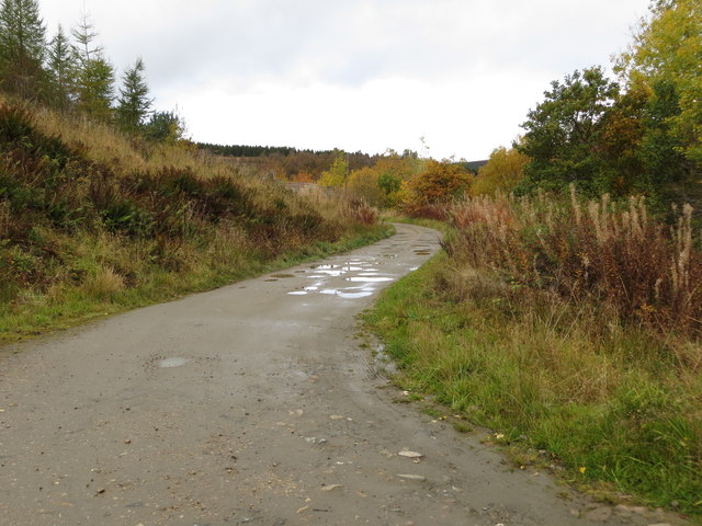
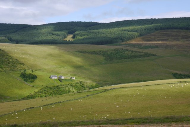
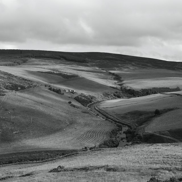
Bridge Pot Images
Images are sourced within 2km of 57.407758/-2.9675705 or Grid Reference NJ4135. Thanks to Geograph Open Source API. All images are credited.


Bridge Pot is located at Grid Ref: NJ4135 (Lat: 57.407758, Lng: -2.9675705)
Unitary Authority: Aberdeenshire
Police Authority: North East
What 3 Words
///craftsmen.stub.according. Near Dufftown, Moray
Nearby Locations
Related Wikis

Beldorney Castle
Beldorney Castle is a Z-plan castle dating from the mid-16th century, about two miles south of Glass, in hilly country in the valley of the Deveron, in...

Glass, Aberdeenshire
Glass is a parish about 8 miles west of Huntly, Aberdeenshire, Scotland. It is now wholly located in Aberdeenshire but before the reorganisation of Scottish...
Blairmore School
Blairmore School was an independent boarding preparatory school in Glass near Huntly, Aberdeenshire until its closure in 1993. The site is now owned and...
Torry Burn, Huntly
Torry Burn is a burn which marks the boundary of the parish of Huntly, Aberdeenshire, Scotland. == References ==
Nearby Amenities
Located within 500m of 57.407758,-2.9675705Have you been to Bridge Pot?
Leave your review of Bridge Pot below (or comments, questions and feedback).