Carlochy
Lake, Pool, Pond, Freshwater Marsh in Angus
Scotland
Carlochy
Carlochy is a small freshwater body located in Angus, Scotland. It can be classified as a lake, pool, pond, or freshwater marsh, as it exhibits characteristics of all these water formations. The exact categorization may vary depending on the time of year and prevailing weather conditions.
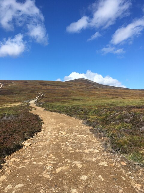
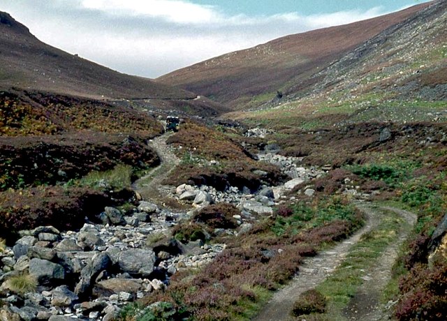
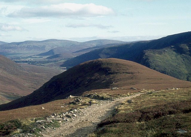
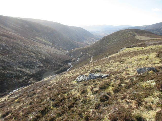
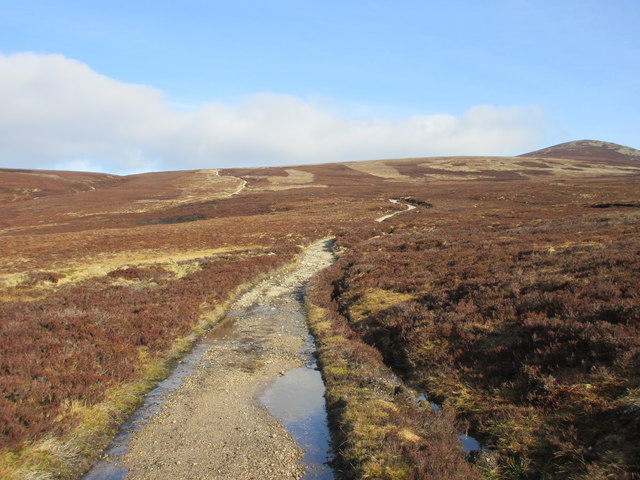
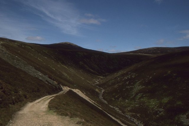
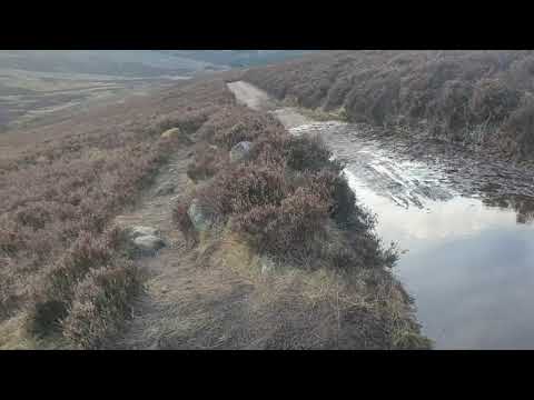
Situated amidst picturesque surroundings, Carlochy is nestled amidst rolling hills and dense vegetation. The water in Carlochy is sourced from natural underground springs and rainfall, ensuring a constant supply of freshwater. Its size is relatively small, spanning an area of approximately 2 acres, with a maximum depth of around 10 feet.
The water in Carlochy is known for its clarity, with visibility extending to several feet. This clarity is attributed to the absence of excessive sediment and the absence of pollution, making it an ideal habitat for a variety of plant and animal species. The water supports a diverse range of aquatic life, including fish, amphibians, and invertebrates.
The surrounding vegetation of Carlochy is abundant, consisting of reeds, grasses, and various aquatic plants such as water lilies and pondweed. This vegetation provides shelter and breeding grounds for numerous bird species, including ducks, geese, and herons, which can often be spotted on the shores or gliding gracefully across the water.
Carlochy serves as a recreational spot for locals and visitors alike, offering opportunities for fishing, boating, and birdwatching. The tranquil ambiance and natural beauty make it a popular destination for nature enthusiasts and those seeking a peaceful escape from the bustle of everyday life.
Overall, Carlochy in Angus, Scotland, is a small but vibrant freshwater body that supports a diverse ecosystem and offers a serene environment for various recreational activities.
If you have any feedback on the listing, please let us know in the comments section below.
Carlochy Images
Images are sourced within 2km of 56.935302/-2.9704372 or Grid Reference NO4183. Thanks to Geograph Open Source API. All images are credited.


Carlochy is located at Grid Ref: NO4183 (Lat: 56.935302, Lng: -2.9704372)
Unitary Authority: Angus
Police Authority: Tayside
What 3 Words
///painted.aimed.vaccines. Near Ballater, Aberdeenshire
Related Wikis

Glen Mark
Glen Mark is a glen in northern Angus, eastern Scotland, through which the Water of Mark flows. Near the mouth of the glen, at Auchronie, the Water of...

Invermark Lodge
Invermark Lodge is a hunting lodge which was built near Invermark Castle in 1852 for John Ramsay, 13th Earl of Dalhousie. It is now a listed building...

Falls of Unich
Falls of Unich is a waterfall of Scotland. == See also == Waterfalls of Scotland == References == Media related to Falls of Unich at Wikimedia Commons

Mount Keen
Mount Keen (Scottish Gaelic: Monadh Caoin) is a 939-metre-high (3,081 ft) mountain in Scotland and the most easterly Munro. It can be accessed from several...

Loch Lee
National grid reference NO431800 Loch Lee is a loch in Angus, Scotland south of the Grampian Mountains that is fed by the Water of Lee and the Water of...

Invermark Castle
Invermark Castle is an oblong tower house dating from the 16th century, at the east of Loch Lee, Angus, Scotland. It is near the head of Glen Esk. ��2...

Falls of Damff
Falls of Damff is a waterfall in Cairngorms National Park in Scotland. == See also == Waterfalls of Scotland == References ==

Tarfside
Tarfside is a small hamlet in Angus, Scotland. It is situated in Glen Esk, on the upper course of the River North Esk, around 8 miles north of Edzell,...
Related Videos
Wee wander up to the queens well . Invermark , Scotland
wee wander up queens well.
The Queens Well and Invermark Castle
"Step back in time at Queen's Well and Invermark Castle, nestled in the heart of the Angus Glens. Immerse yourself in Scottish ...

Mount Keen Munro. Part 2. The Queen's Well. Glen Mark. Grampians. MTB Scotland.
Mount Keen Munro. Mount Keen MTB. Munro MTB. The Queen's Well. Glen Mark. Grampians National Park. Drone MTB video.
Nearby Amenities
Located within 500m of 56.935302,-2.9704372Have you been to Carlochy?
Leave your review of Carlochy below (or comments, questions and feedback).