Gillcambon Tarn
Lake, Pool, Pond, Freshwater Marsh in Cumberland Eden
England
Gillcambon Tarn

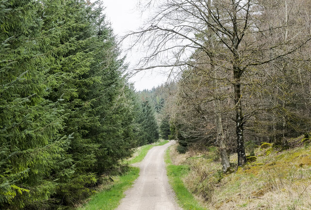
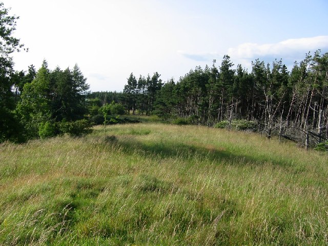
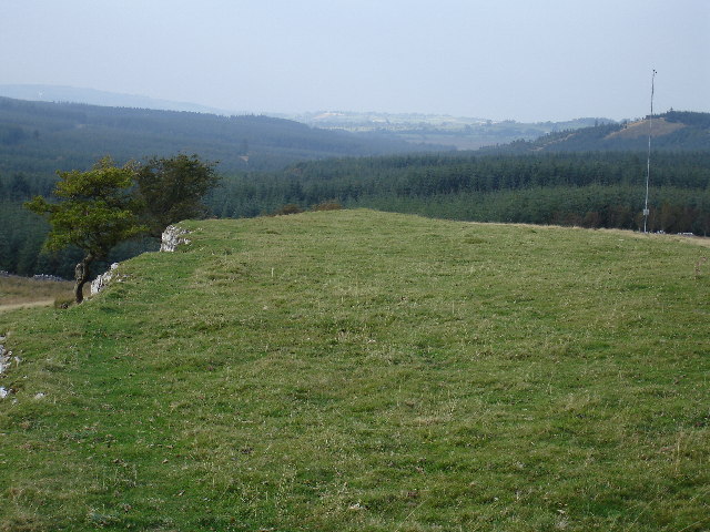
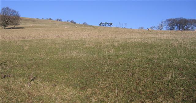
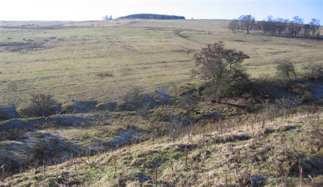
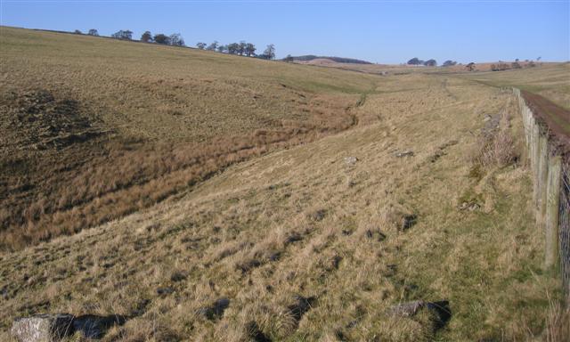
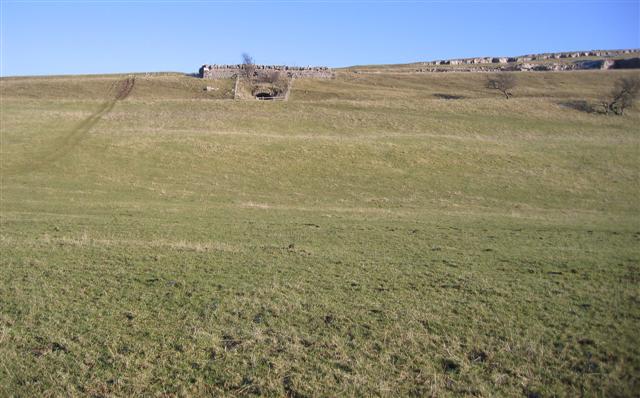
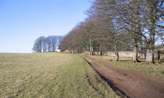
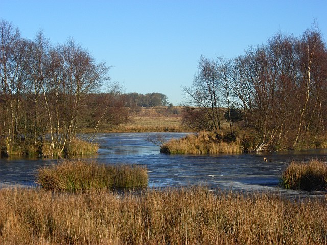
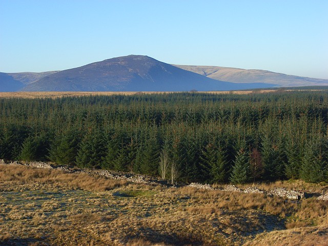
Gillcambon Tarn, located in Cumberland, is a picturesque freshwater marsh nestled in the scenic Lake District National Park in northwest England. This serene body of water is commonly referred to as a tarn, which is a small mountain lake or pool formed by glacial activity. It offers an idyllic retreat for nature enthusiasts and those seeking tranquility amidst stunning natural surroundings.
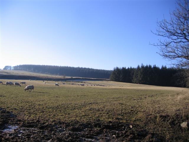
Surrounded by lush green hills and dense woodlands, Gillcambon Tarn is a haven for diverse flora and fauna. The marshy edges of the tarn are home to a variety of water-loving plants, such as water lilies and reeds, which provide shelter for various aquatic creatures. The calm and clear waters of the tarn support an abundance of freshwater fish, including trout, as well as amphibians like frogs and newts.
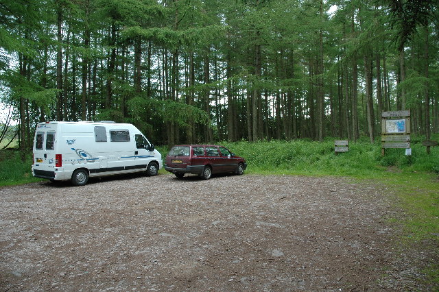
Visitors to Gillcambon Tarn can enjoy a range of recreational activities. Fishing is a popular pastime, with anglers often casting their lines from the shores or small boats available for hire. The tranquil environment also makes the tarn a perfect spot for leisurely walks and picnics along the water's edge, where visitors can take in the breathtaking views and observe the local wildlife.
With its unspoiled natural beauty and peaceful ambiance, Gillcambon Tarn offers an escape from the hustle and bustle of daily life. Whether for a quiet retreat or to explore the diverse ecosystem, this charming tarn in Cumberland is a hidden gem that continues to captivate and inspire those who venture to its shores.
If you have any feedback on the listing, please let us know in the comments section below.
Gillcambon Tarn Images
Images are sourced within 2km of 54.685749/-2.9250399 or Grid Reference NY4032. Thanks to Geograph Open Source API. All images are credited.


Gillcambon Tarn is located at Grid Ref: NY4032 (Lat: 54.685749, Lng: -2.9250399)
Administrative County: Cumbria
District: Eden
Police Authority: Cumbria
What 3 Words
///twice.weary.assurance. Near Penrith, Cumbria
Nearby Locations
Related Wikis
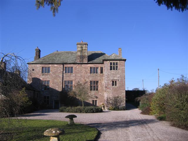
Johnby Hall
Johnby Hall is a fortified manor house near Greystoke, Cumbria. It was built in 1583, incorporating the fabric of a medieval tower house, and has been...
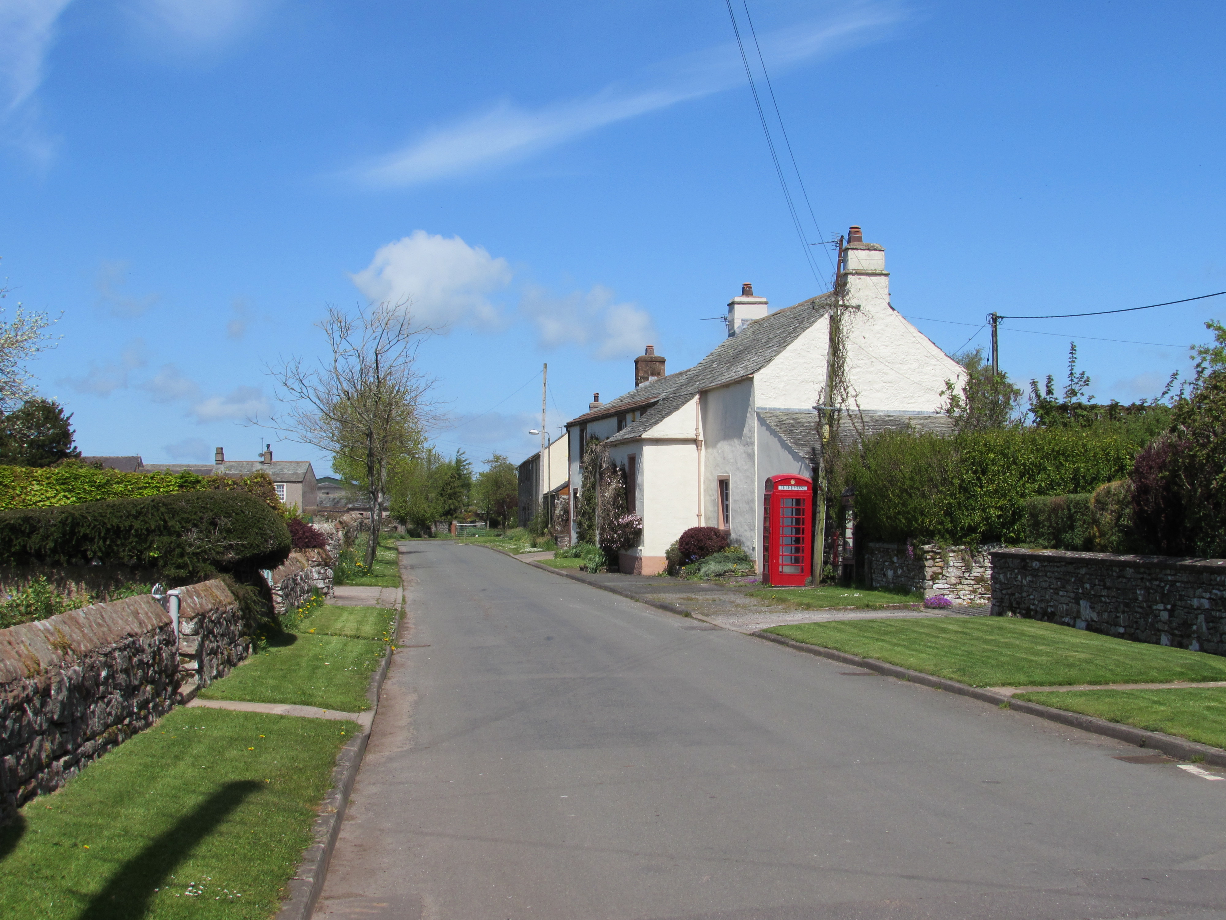
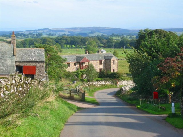
Johnby
Johnby is a hamlet in the Eden District, in the English county of Cumbria. It is about 6 miles (9.7 km) from the large town of Penrith and about 1 mile...

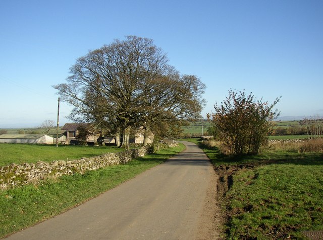
Lamonby
Lamonby is an agricultural hamlet in the Eden district, in the county of Cumbria, England, about 2 km from the edge of the Lake District National Park...
Ellonby
Ellonby is a hamlet in the parish of Skelton, in the Eden district, in the English county of Cumbria. To the north of the hamlet, at Hardrigg Hall, a ruined...
Hutton Roof, Eden
Hutton Roof is a hamlet and former civil parish, now in the parish of Mungrisdale, in the Westmorland and Furness district, in the ceremonial county of...
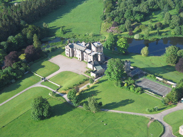
Greystoke Castle
Greystoke Castle is in the village of Greystoke 8 kilometres (5.0 mi) west of Penrith in the county of Cumbria in northern England. (grid reference NY435309...

Greystoke, Cumbria
Greystoke is a village and civil parish on the edge of the Lake District National Park in Cumbria, England, about 4 miles (6.4 km) west of Penrith. At...
Berrier
Berrier is a hamlet in Cumbria, England. It is in the civil parish of Mungrisdale, which is made up of eight hamlets and had a population of 297 in the...
Have you been to Gillcambon Tarn?
Leave your review of Gillcambon Tarn below (or comments, questions and feedback).