Bridge Pool

Lake, Pool, Pond, Freshwater Marsh in Monmouthshire

Wales

Bridge Pool

A449 east of Newbridge-on-Usk, looking south
A449 east of Newbridge-on-Usk, looking south Credit: Colin Pyle

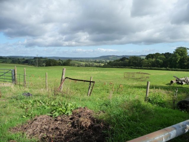
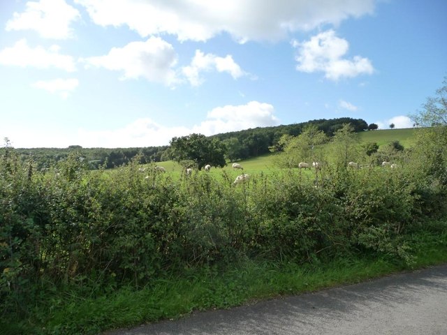
Bridge Pool in Monmouthshire is a picturesque freshwater pond located in a tranquil setting surrounded by lush greenery. The pool, which covers an area of approximately one acre, is fed by a natural spring and is home to a variety of aquatic plants and wildlife.

The pool is a popular spot for fishing enthusiasts, with species such as carp, perch, and roach found in its waters. Anglers can often be seen casting their lines from the banks of the pool, hoping to catch a prize fish.

Surrounded by trees and shrubs, Bridge Pool is a haven for birdwatchers, with a variety of bird species frequenting the area. Visitors can spot ducks, swans, and herons among the reeds and rushes that line the pool.

In addition to its natural beauty, Bridge Pool also offers a peaceful and relaxing atmosphere, making it a popular destination for those looking to escape the hustle and bustle of daily life. Whether you are a keen angler, a nature lover, or simply seeking a quiet spot to unwind, Bridge Pool in Monmouthshire is sure to enchant and delight.

If you have any feedback on the listing, please let us know in the comments section below.
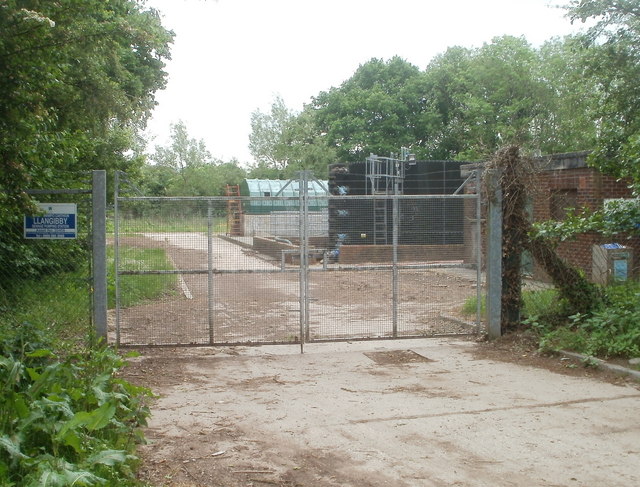
Bridge Pool Images

Images are sourced within 2km of 51.649139/-2.8899849 or Grid Reference ST3894. Thanks to Geograph Open Source API. All images are credited.

A449 east of Newbridge-on-Usk, looking south
A449 looking north
A449 looking north
Southern edge of Llangybi The road from Usk to Caerleon approaches the start of the National Speed Limit at the southern edge of the village of Llangybi (also spelt Llangibby).
Southern edge of Llangybi
The road from Usk to Caerleon approaches the start of the National Speed Limit at the southern edge of the village of Llangybi (also spelt Llangibby).
End of a public path to Llangibby Bottom Public access to the path <a title="https://www.geograph.org.uk/photo/2410726" href="https://www.geograph.org.uk/photo/2410726">Link</a> from the church ends here, at a gate and a sign stating 
PRIVATE ROAD
NO UNAUTHORISED ACCESS.
End of a public path to Llangibby Bottom
Public access to the path Link from the church ends here, at a gate and a sign stating PRIVATE ROAD NO UNAUTHORISED ACCESS.
Llangibby Sewage Pumping Station Welsh Water premises located in Llangibby Bottom, to the south of the village of Llangybi.
Llangibby Sewage Pumping Station
Welsh Water premises located in Llangibby Bottom, to the south of the village of Llangybi.
A449 heading north
A449 heading north
Usk Valley Walk Footpath & Finger Post Footpath leading off one of the main fire trails in Wentwood Forest.Path then goes down to Bertholey House and then continues onwards.
Usk Valley Walk Footpath & Finger Post
Footpath leading off one of the main fire trails in Wentwood Forest.Path then goes down to Bertholey House and then continues onwards.
Wentwood Forest Trail Forest track heading upwards from Usk Valley Walk
Wentwood Forest Trail
Forest track heading upwards from Usk Valley Walk
wentwood bluebells in the spring this image was taken whilst out mountain biking on a trail that meets the usk valley walk.
wentwood bluebells in the spring
this image was taken whilst out mountain biking on a trail that meets the usk valley walk.
Lay-by on the A449, near Newbridge on Usk
Approach to the floodplain of the River Usk near Llantrisant, Monmouthshire Too late for one car. Possibly abandoned. The police were in attendance just in case anyone was trapped etc.
Approach to the floodplain of the River Usk near Llantrisant, Monmouthshire
Too late for one car. Possibly abandoned. The police were in attendance just in case anyone was trapped etc.
Cwrt Bleddyn Hotel and spa.
Cwrt Bleddyn
Hotel and spa.
Cwrt Bleddyn
Cwrt Bleddyn
Entrance to Cwrt Bleddyn
New use for old bed base, east of Coed-y-fon Propped against a post and wire fence, on the north side of the road to Tredunnock.
New use for old bed base, east of Coed-y-fon
Propped against a post and wire fence, on the north side of the road to Tredunnock.
Sheep pasture, east of Coed-y-fon And north of Coed-y-france, the distant woodland.
Sheep pasture, east of Coed-y-fon
And north of Coed-y-france, the distant woodland.
The well in the centre of Tredunnock With a lid firmly padlocked in place.
The well in the centre of Tredunnock
With a lid firmly padlocked in place.
The lych gate, Tredunnock At the head of a holly-hedged avenue, leading to St Andrew's Church.
The lych gate, Tredunnock
At the head of a holly-hedged avenue, leading to St Andrew's Church.
Show me another place!

Bridge Pool is located at Grid Ref: ST3894 (Lat: 51.649139, Lng: -2.8899849)

Unitary Authority: Monmouthshire

Police Authority: Gwent

What 3 Words

///clay.butlers.winds. Near Llangybi, Monmouthshire

Related Wikis

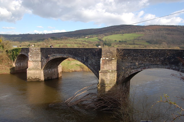
New Bridge, Newbridge-on-Usk

New Bridge crosses the River Usk at Newbridge-on-Usk between Usk and Caerleon. The bridge carries the B4236. It was constructed in 1779, probably by William...

Newbridge-on-Usk

Newbridge-on-Usk (Welsh: Pontnewydd ar Wysg) is a hamlet in the village and parish of Tredunnock, near Usk, Monmouthshire, south east Wales, in the United...

St Andrew's Church, Tredunnock

The Church of St Andrew, Tredunnock, Monmouthshire is a parish church with its origins in the 12th or 13th century. A Grade II* listed building, the church...

Tredunnock

Tredunnock (Welsh: Tredynog) is a small village in Monmouthshire, south east Wales, in the United Kingdom. Tredunnock is located four miles (6.4 km) northeast...

Nearby Amenities

Located within 500m of 51.649139,-2.8899849
Telephone
Booth: K6
Covered: booth
Heritage: yes
Listed Status: Grade II
Wikidata: Q29482832
Lat/Long: 51.648299/-2.8907481
Newbridge-on-Usk
Name Cy: Pont newydd ar Wysg
Place: hamlet
Wikidata: Q7017074
Wikipedia: en:Newbridge-on-Usk
Lat/Long: 51.6481833/-2.8903055
Direction: 175
Generator Method: photovoltaic
Generator Output Electricity: yes
Generator Solar Modules: 14
Generator Source: solar
Generator Type: solar_photovoltaic_panel
Location: roof
Power: generator
Lat/Long: 51.6490604/-2.8966892
The data included in this document is from www.openstreetmap.org. The data is made available under ODbL.

Have you been to Bridge Pool?

Leave your review of Bridge Pool below (or comments, questions and feedback).