Loch of the Tarf
Lake, Pool, Pond, Freshwater Marsh in Orkney
Scotland
Loch of the Tarf
Loch of the Tarf is a freshwater loch located in the Orkney Islands, an archipelago in the northern part of Scotland. Situated in the parish of Orphir, the loch covers an area of approximately 2.5 hectares and has a maximum depth of around 5 meters. It is nestled amidst picturesque rolling hills, providing a stunning backdrop to the surrounding landscape.
The loch is formed through a combination of natural water sources, including rainfall and runoff from the surrounding land. It is fed by several small streams that flow into the loch, ensuring a constant supply of fresh water. Loch of the Tarf is a relatively secluded and undisturbed body of water, making it an ideal habitat for various aquatic species.
The loch supports a diverse range of flora and fauna, including aquatic plants such as water lilies and reeds that thrive along its edges. This vegetation provides an important habitat for numerous water-dwelling creatures, including fish, amphibians, and invertebrates. The loch is particularly known for its population of brown trout, which attracts anglers from far and wide.
Surrounded by lush greenery, Loch of the Tarf is a popular spot for nature enthusiasts, offering opportunities for birdwatching and wildlife observation. Visitors can often spot a variety of bird species, including ducks, swans, and herons, which frequent the loch's tranquil waters.
Overall, Loch of the Tarf is a scenic and ecologically significant freshwater body, providing a haven for aquatic life and offering visitors a serene and natural setting to enjoy the beauty of Orkney's countryside.
If you have any feedback on the listing, please let us know in the comments section below.
Loch of the Tarf Images
Images are sourced within 2km of 58.73762/-3.0660348 or Grid Reference ND3883. Thanks to Geograph Open Source API. All images are credited.
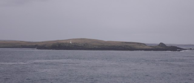
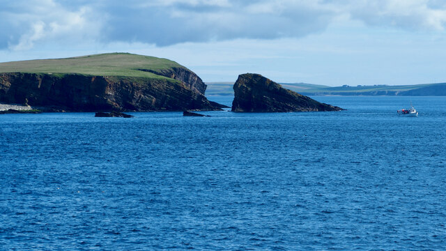
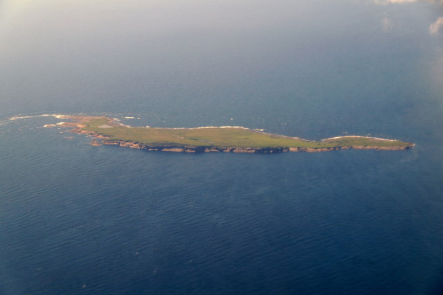
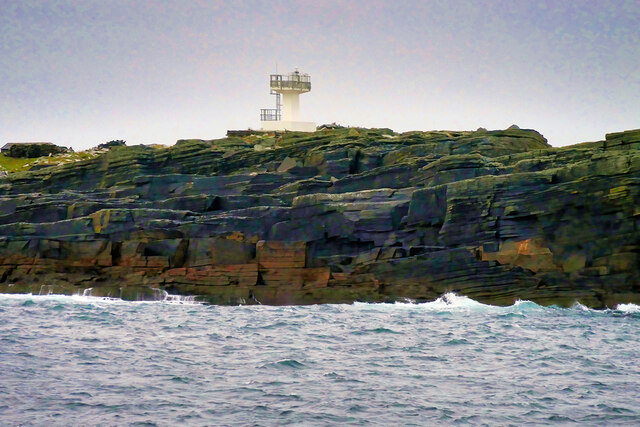
![Warbister Hill Site of a possible building, an enclosure, a quarry, and a modern triangulation pillar; see “Swona, Warbister Hill | Canmore.” 2021. Canmore.org.uk &lt;<span class="nowrap"><a title="https://canmore.org.uk/site/347495/swona-warbister-hill" rel="nofollow ugc noopener" href="https://canmore.org.uk/site/347495/swona-warbister-hill">Link</a><img style="margin-left:2px;" alt="External link" title="External link - shift click to open in new window" src="https://s1.geograph.org.uk/img/external.png" width="10" height="10"/></span> &gt; [accessed 7 June 2021]](https://s1.geograph.org.uk/geophotos/06/86/06/6860697_42cec7a5.jpg)
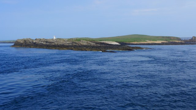
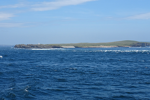
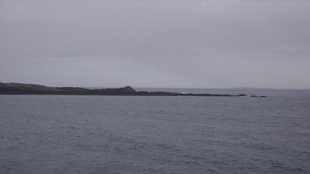
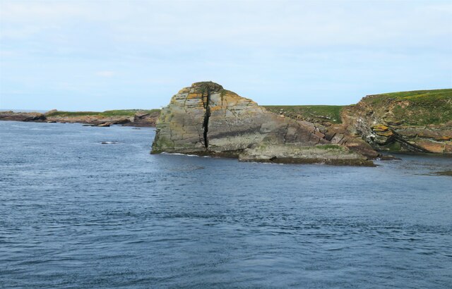
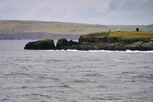
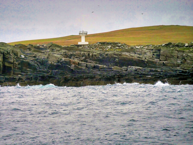
![The Haven Seems to be the main access onto the now un-inhabited island. See “Swona, the Haven | Canmore.” 2021. Canmore.org.uk &lt;<span class="nowrap"><a title="https://canmore.org.uk/site/347498/swona-the-haven" rel="nofollow ugc noopener" href="https://canmore.org.uk/site/347498/swona-the-haven">Link</a><img style="margin-left:2px;" alt="External link" title="External link - shift click to open in new window" src="https://s1.geograph.org.uk/img/external.png" width="10" height="10"/></span> &gt; [accessed 7 June 2021]
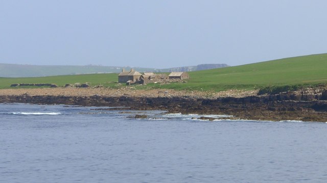
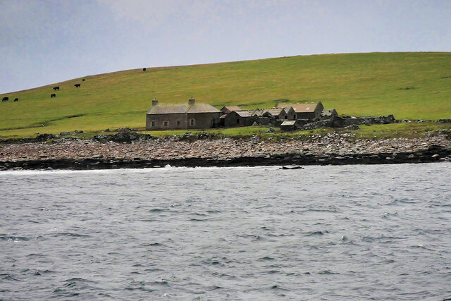
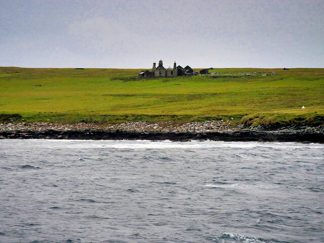
For the farmstead behind see “Swona, Norhead | Canmore.” 2021. Canmore.org.uk &lt;<span class="nowrap"><a title="https://canmore.org.uk/site/345421/swona-norhead" rel="nofollow ugc noopener" href="https://canmore.org.uk/site/345421/swona-norhead">Link</a><img style="margin-left:2px;" alt="External link" title="External link - shift click to open in new window" src="https://s1.geograph.org.uk/img/external.png" width="10" height="10"/></span> &gt; [accessed 7 June 2021]](https://s3.geograph.org.uk/geophotos/06/86/07/6860703_6e889d80.jpg)
Loch of the Tarf is located at Grid Ref: ND3883 (Lat: 58.73762, Lng: -3.0660348)
Unitary Authority: Orkney Islands
Police Authority: Highlands and Islands
What 3 Words
///diplomats.heave.midfield. Near John o' Groats, Highland
Nearby Locations
Related Wikis

Swona
Swona is an uninhabited privately-owned island in the Pentland Firth off the north coast of Scotland. == Geography and geology == Swona is the more northerly...

MV Cemfjord
The Cemfjord was a Cyprus-registered cargo ship which foundered in the Pentland Firth off the north-east coast of Scotland on 2 January 2015. Built as...

SM U-29 (Germany)
SM U-29 was a Type U-27 U-boat of the Imperial German Navy. She served during the First World War. U-29's last commander was Captain Otto Weddigen. U-29...

Burwick, Orkney
Burwick () is a small harbour on the island of South Ronaldsay in the Orkney Islands, Scotland. It is the closest Orkney harbour to the Scottish mainland...
Cantick Head Lighthouse
The Cantick Head Lighthouse is an active 19th century lighthouse on the Scottish island of South Walls in the Orkney Islands. It is located at the end...

Switha
Switha is a small uninhabited island towards the south of Orkney, Scotland, approximately 41 hectares in area. == Geography and geology == Switha lies...

Island of Stroma
Stroma is an uninhabited island in the Pentland Firth, between Orkney and the mainland of Scotland, separated by the Inner Sound. It forms part of the...

South Ronaldsay
South Ronaldsay (, also , Scots: Sooth Ronalshee) is one of the Orkney Islands off the north coast of Scotland. It is linked to the Orkney Mainland by...
Nearby Amenities
Located within 500m of 58.73762,-3.0660348Have you been to Loch of the Tarf?
Leave your review of Loch of the Tarf below (or comments, questions and feedback).