Graveley

Settlement in Cambridgeshire South Cambridgeshire

England

Graveley

Bridleway between two wheat fields
Bridleway between two wheat fields Credit: Jonathan Thacker

Graveley is a small village located in the county of Cambridgeshire, England. Situated approximately 7 miles northwest of the city of Cambridge, Graveley is nestled in a rural setting surrounded by picturesque countryside. The village has a population of around 500 residents and is known for its peaceful atmosphere and close-knit community.

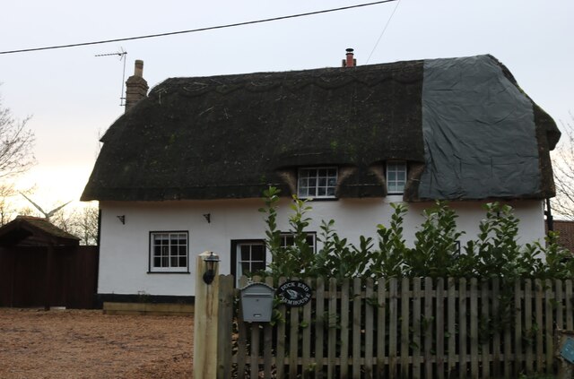
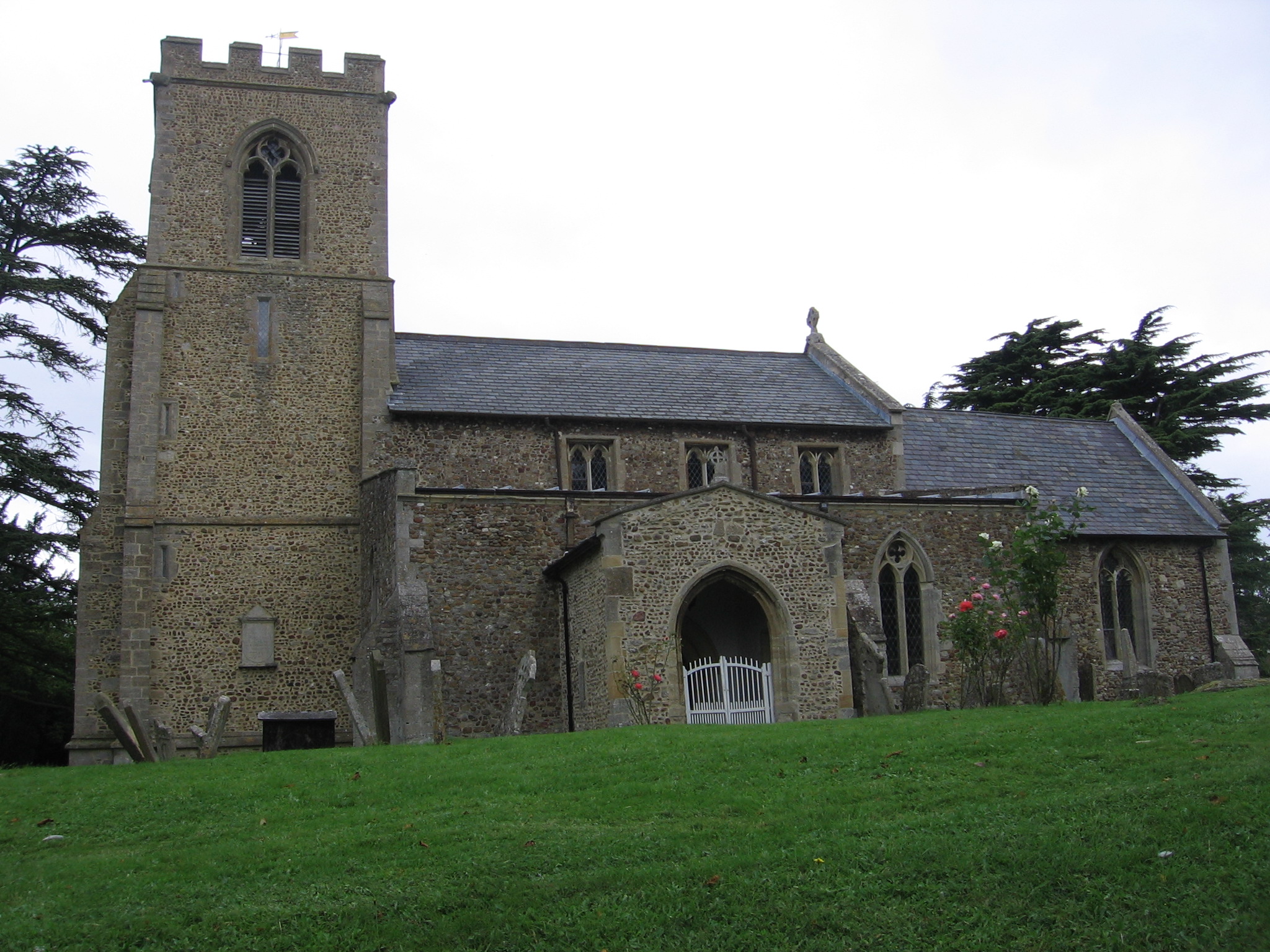
The history of Graveley dates back to the medieval period, with records mentioning the village in the Domesday Book of 1086. Today, it retains some of its historic charm with several well-preserved buildings, including St. Botolph's Church, which dates back to the 13th century.

The village offers a range of amenities to its residents, including a local primary school, a village hall, and a traditional pub. Despite its small size, Graveley boasts a vibrant community spirit, with various social clubs and events organized throughout the year. These include the annual Graveley Fruit Show, which celebrates the village's agricultural heritage.

Surrounded by beautiful countryside, Graveley is an ideal location for those seeking a tranquil rural retreat while still being within easy reach of larger towns and cities. The village is well-connected by road, with the A14 trunk road passing nearby, providing convenient access to Cambridge, Huntingdon, and the wider region.

Overall, Graveley offers a peaceful and idyllic setting with a strong sense of community, making it a desirable place to reside for those seeking a slower pace of life in the heart of the Cambridgeshire countryside.

If you have any feedback on the listing, please let us know in the comments section below.
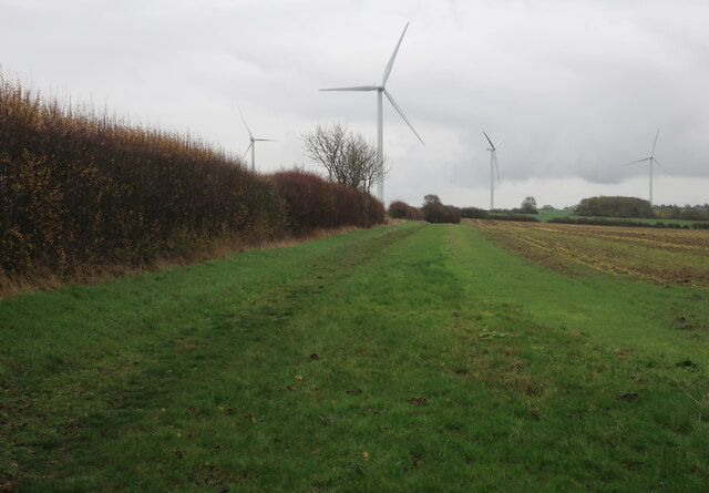
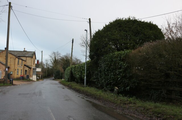
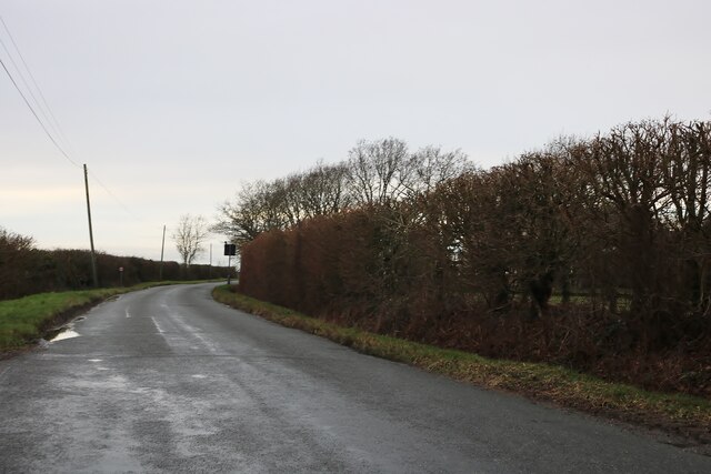
Graveley Images

Images are sourced within 2km of 52.260485/-0.172969 or Grid Reference TL2464. Thanks to Geograph Open Source API. All images are credited.

Bridleway between two wheat fields
Wind turbines near College Farm
Footpath to Yelling
Footpath to Yelling
High Street, Graveley
Fieldings Place, Graveley
High Street, Graveley On the corner of Fieldings Place
High Street, Graveley
On the corner of Fieldings Place
High Street, Graveley
Pond on High Street, Graveley
House on High Street, Graveley
The Main Road, Papworth St Agnes It's main as it's the only one and only lasts for half a mile housing the entire hamlet.
The Main Road, Papworth St Agnes
It's main as it's the only one and only lasts for half a mile housing the entire hamlet.
Barnfield Lane, Papworth St Agnes
Crossroads on High Street, Toseland This is not like the sort of High Street you'd expect.
Crossroads on High Street, Toseland
This is not like the sort of High Street you'd expect.
High Street, Toseland
Thatched cottage in Duck End
Offord Road, Duck End
Offord Road by Cotton Farm
Field by Offord Road, Duck End
Show me another place!

Graveley is located at Grid Ref: TL2464 (Lat: 52.260485, Lng: -0.172969)

Administrative County: Cambridgeshire

District: South Cambridgeshire

Police Authority: Cambridgeshire

What 3 Words

///dorms.ally.ejects. Near Great Paxton, Cambridgeshire

Nearby Locations

Duck End Graveley

Related Wikis

Graveley, Cambridgeshire

Graveley is a village and civil parish in South Cambridgeshire, England. == History == The parish of Graveley covers an area of 1,582 acres (640 ha) at...

RAF Graveley

RAF Graveley is a former Royal Air Force station located 5 miles (8 km) south of Huntingdon. The station was originally intended to operate under No. 3...

Yelling, Cambridgeshire

Yelling is a linear village and civil parish in the Huntingdonshire administrative district of Cambridgeshire, England. The village is about 5 miles (8...

Papworth St Agnes

Papworth St Agnes is a village and civil parish in South Cambridgeshire, England. The population of the village is included in the civil parish of Graveley...

Nearby Amenities

Located within 500m of 52.260485,-0.172969
Graveley
Is In: Cambridgeshire
Place: village
Lat/Long: 52.2619571/-0.1745281
Bus Stop
Church Lane
Naptan AtcoCode: 0500SGRAV001
Naptan Bearing: NW
Naptan CommonName: Church Lane
Naptan Indicator: opp
Naptan Landmark: Church Lane
Naptan NaptanCode: cmbdwjwd
Naptan Street: High Street
Naptan Verified: no
Source: naptan_import
Lat/Long: 52.2602955/-0.1727898
Bus Stop
Manor Close
Naptan AtcoCode: 0500SGRAV002
Naptan Bearing: S
Naptan CommonName: Manor Close
Naptan Indicator: opp
Naptan Landmark: Manor Close
Naptan NaptanCode: cmbdwjwg
Naptan ShortCommonName: Manor Close
Naptan Street: Papworth Road
Naptan Verified: no
Source: naptan_import
Lat/Long: 52.2609403/-0.1662424
Bus Stop
Fieldings Place
Naptan AtcoCode: 0500SGRAV003
Naptan Bearing: W
Naptan CommonName: Fieldings Place
Naptan Indicator: opp
Naptan Landmark: Fieldings Place
Naptan NaptanCode: cmbdwjwj
Naptan Street: High Street
Naptan Verified: no
Source: naptan_import
Lat/Long: 52.2594539/-0.1695421
Bus Stop
Church Lane
Naptan AtcoCode: 0500SGRAV004
Naptan Bearing: SE
Naptan BusStopType: CUS
Naptan CommonName: Church Lane
Naptan Indicator: near
Naptan Landmark: Church Lane
Naptan NaptanCode: cmbdwjwm
Naptan Street: High Street
Naptan Verified: no
Source: naptan_import
Lat/Long: 52.26044/-0.1728279
Bus Stop
Fieldings Place
Naptan AtcoCode: 0500SGRAV005
Naptan Bearing: E
Naptan BusStopType: CUS
Naptan CommonName: Fieldings Place
Naptan Indicator: near
Naptan Landmark: Fieldings Place
Naptan NaptanCode: cmbdwjwp
Naptan Street: High Street
Naptan Verified: no
Source: naptan_import
Lat/Long: 52.2595261/-0.1695538
Bus Stop
Manor Close
Naptan AtcoCode: 0500SGRAV006
Naptan Bearing: N
Naptan BusStopType: CUS
Naptan CommonName: Manor Close
Naptan Indicator: near
Naptan Landmark: Manor Close
Naptan NaptanCode: cmbdwjwt
Naptan ShortCommonName: Manor Close
Naptan Street: Papworth Road
Naptan Verified: no
Source: naptan_import
Lat/Long: 52.2611039/-0.1663529
Bench
Lat/Long: 52.2607687/-0.1721041
Restaurant
Lat/Long: 52.260401/-0.1726596
Pub
Three Horseshoes
Addr City: St Neots
Addr Housenumber: 23
Addr Postcode: PE19 6PL
Addr Street: High Street
Addr Village: Graveley
Lat/Long: 52.2604273/-0.1727026
Power: pole
Lat/Long: 52.2590976/-0.174966
Power: transformer
Lat/Long: 52.2599922/-0.1774859
Power: pole
Lat/Long: 52.2587445/-0.1743009
Power: pole
Lat/Long: 52.259315/-0.1733043
Power: pole
Lat/Long: 52.2594808/-0.1723289
Power: pole
Lat/Long: 52.2582159/-0.175253
Power: pole
Lat/Long: 52.2581026/-0.1760871
Power: pole
Lat/Long: 52.2580156/-0.1769022
Post Box
Post Box Type: lamp
Ref: PE19 75
Royal Cypher: EIIR
Royal Cypher Wikidata: Q33102113
Lat/Long: 52.2594038/-0.169161
Bench
Lat/Long: 52.2593984/-0.1692191
The data included in this document is from www.openstreetmap.org. The data is made available under ODbL.

Have you been to Graveley?

Leave your review of Graveley below (or comments, questions and feedback).