Powdrake Pool

Lake, Pool, Pond, Freshwater Marsh in Cumberland Carlisle

England

Powdrake Pool

River Esk from its NW bank
River Esk from its NW bank Credit: Roger Templeman

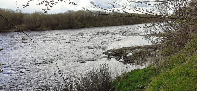
Powdrake Pool, located in Cumberland, is a picturesque freshwater marsh that encompasses a combination of lake, pool, pond, and marshland. With its diverse ecosystem and serene surroundings, Powdrake Pool attracts nature enthusiasts and birdwatchers alike.

Spread across an area of approximately 100 acres, Powdrake Pool is home to a variety of plant and animal species. The pool is fed by several freshwater streams that flow into it, ensuring a constant supply of water and maintaining its overall health. The water is clear and calm, providing a perfect habitat for various aquatic plants like lilies, reeds, and cattails, which create a vibrant and colorful display during the blooming seasons.

The pool's marshy areas are teeming with life, supporting a wide range of bird species such as herons, egrets, ducks, and geese. Bird enthusiasts can often spot these beautiful creatures perched on the pool's edges or gliding gracefully across its surface. The surrounding woodlands also attract other wildlife, including deer, foxes, and small mammals.

Powdrake Pool offers an opportunity for visitors to immerse themselves in nature and enjoy activities such as canoeing, kayaking, and fishing. Its calm waters are ideal for beginners and experienced anglers alike, with fish like bass, trout, and perch making it a popular spot for fishing enthusiasts.

Overall, Powdrake Pool in Cumberland is a mesmerizing blend of lake, pool, pond, and freshwater marsh, providing a haven for a diverse range of flora and fauna. Its tranquil ambiance and natural beauty make it a must-visit destination for those seeking a peaceful retreat in nature.

If you have any feedback on the listing, please let us know in the comments section below.

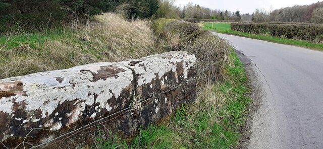
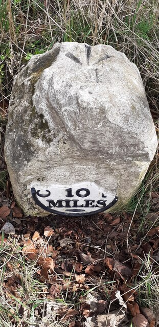
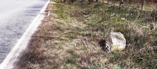
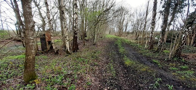
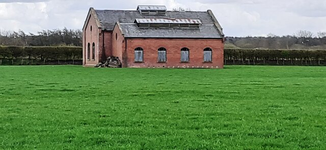
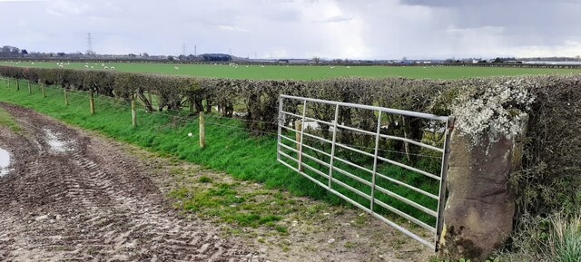
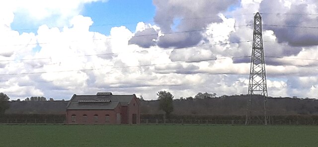
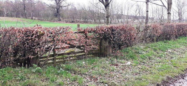
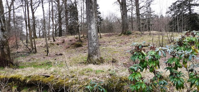
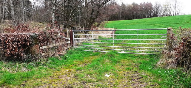
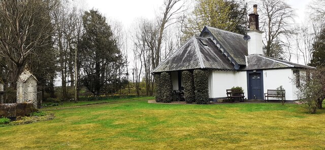
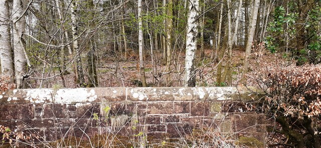
Powdrake Pool Images

Images are sourced within 2km of 55.013755/-2.9726584 or Grid Reference NY3769. Thanks to Geograph Open Source API. All images are credited.

River Esk from its NW bank
Gated entrance to buildings at Oakbank
Benchmark on farm building at Oakbank Ordnance Survey cut mark benchmark levelled at 14.613m above Newlyn Datum verified 1974
Benchmark on farm building at Oakbank
Ordnance Survey cut mark benchmark levelled at 14.613m above Newlyn Datum verified 1974
Farm buildings at Oakbank There is an Ordnance Survey benchmark <a href="https://www.geograph.org.uk/photo/7142707">NY3670 : Benchmark on farm building at Oakbank</a> on the corner, road face, of the nearest building at the junction with stone wall
Farm buildings at Oakbank
There is an Ordnance Survey benchmark NY3670 : Benchmark on farm building at Oakbank on the corner, road face, of the nearest building at the junction with stone wall
Road and stream at Oakbank Bridge The bridge parapet has 1936 date carved on its road face
Road and stream at Oakbank Bridge
The bridge parapet has 1936 date carved on its road face
Milestone Carlisle 10 miles on SE side of A7 The milestone has an Ordnance Survey pivot benchmark levelled at 17.100m above Newlyn Datum verified in 1974 on its top. The 1888-1913 OS 6" Map shows the benchmark at 55.8 feet (17.0m) above Liverpool Datum
Milestone Carlisle 10 miles on SE side of A7
The milestone has an Ordnance Survey pivot benchmark levelled at 17.100m above Newlyn Datum verified in 1974 on its top. The 1888-1913 OS 6" Map shows the benchmark at 55.8 feet (17.0m) above Liverpool Datum
Old milestone on SE side of A7 SW of Batenbush junction <a href="https://www.geograph.org.uk/photo/7142752">NY3770 : Milestone Carlisle 10 miles on SE side of A7</a> shows a front view of the milestone
Old milestone on SE side of A7 SW of Batenbush junction
NY3770 : Milestone Carlisle 10 miles on SE side of A7 shows a front view of the milestone
Footpath through wood between A7 and River Esk On tracked of former North British Railway from Carlsle to Edinburgh. The brick structure could be the fireplace of a platelayers hut?
Footpath through wood between A7 and River Esk
On tracked of former North British Railway from Carlsle to Edinburgh. The brick structure could be the fireplace of a platelayers hut?
Former pumping station in field on SE side of A7
Field gateway and sheep pasture on SE side of A7
Former pumping station and electricity pylon in field on SE side of A7 Snow-bearing clouds overhead
Former pumping station and electricity pylon in field on SE side of A7
Snow-bearing clouds overhead
Benchmark on gatepost at gateway on SE side of road near Slackbraes Wood Ordnance Survey cut mark benchmark levelled at 23.360m above Newlyn Datum verified 1955
Benchmark on gatepost at gateway on SE side of road near Slackbraes Wood
Ordnance Survey cut mark benchmark levelled at 23.360m above Newlyn Datum verified 1955
Field gateway on SE side of rural road west of Slackbraes Wood There is an Ordnance Survey benchmark <a href="https://www.geograph.org.uk/photo/7148236">NY3870 : Benchmark on gatepost at gateway on SE side of road near Slackbraes Wood</a> on the road face of the right hand gatepost of the now disused gateway
Field gateway on SE side of rural road west of Slackbraes Wood
There is an Ordnance Survey benchmark NY3870 : Benchmark on gatepost at gateway on SE side of road near Slackbraes Wood on the road face of the right hand gatepost of the now disused gateway
Looking into Slackbraes Wood over Jean's Sike
Field gateway at SE edge of Slackbraes Wood Ordnance Survey records indicate that a benchmark levelled at  24.088m above Newlyn Datum was verified in 1955 on a gatepost at this gateway which appears to have been remodelled since
Field gateway at SE edge of Slackbraes Wood
Ordnance Survey records indicate that a benchmark levelled at 24.088m above Newlyn Datum was verified in 1955 on a gatepost at this gateway which appears to have been remodelled since
First Lodge, Netherby Park
Benchmark on NW parapet of Redturn Bridge Ordnance Survey pivot benchmark levelled at 28.453m above Newlyn Datum verified 1955
Benchmark on NW parapet of Redturn Bridge
Ordnance Survey pivot benchmark levelled at 28.453m above Newlyn Datum verified 1955
View into Crofthead Wood over NW parapet of Redturn Bridge There is an Ordnance Survey benchmark <a href="https://www.geograph.org.uk/photo/7150424">NY3970 : Benchmark on NW parapet of Redturn Bridge</a> on top of the parapet at its centre
View into Crofthead Wood over NW parapet of Redturn Bridge
There is an Ordnance Survey benchmark NY3970 : Benchmark on NW parapet of Redturn Bridge on top of the parapet at its centre
Show me another place!

Powdrake Pool is located at Grid Ref: NY3769 (Lat: 55.013755, Lng: -2.9726584)

Administrative County: Cumbria

District: Carlisle

Police Authority: Cumbria

What 3 Words

///munch.bootleg.educated. Near Longtown, Cumbria

Nearby Locations

Powdrake Pool Willow Pool

Related Wikis

Longtown railway station

Longtown railway station served the town of Longtown, Cumbria, England, from 1861 to 1970 on the Waverley Route. == History == The station opened on 29...

Longtown, Cumbria

Longtown is a market town in Cumbria, England, just south of the Scottish Border. It has a sheep market which was at the centre of the 2001 United Kingdom...

Kirkandrews-on-Esk

Kirkandrews (also known as Kirkandrews-on-Esk distinguishing it from Kirkandrews-on-Eden), is a civil parish in City of Carlisle district, Cumbria, England...

2020s in United Kingdom political history

2020s political history refers to significant political and societal historical events in the United Kingdom in the 2020s, presented as a historical overview...

Nearby Amenities

Located within 500m of 55.013755,-2.9726584
Turning Circle
Lat/Long: 55.0125047/-2.96863
Longtown
End Date: 1970-08-31
Historic Railway: station
Operator: British Railways
Railway: site
Start Date: 1861-10-29
Lat/Long: 55.0114225/-2.9771865
Power: tower
Lat/Long: 55.0161279/-2.9781363
Power: tower
Lat/Long: 55.0116095/-2.9781174
Power: tower
Lat/Long: 55.0138242/-2.9781266
Bank
Barclays
Addr City: Longtown
Addr Housenumber: 23
Addr Postcode: CA6 5UB
Addr Street: Bridge Street
Brand: Barclays
Brand Wikidata: Q245343
Brand Wikipedia: en:Barclays
Lat/Long: 55.0099282/-2.9729556
Fast Food
Kingsland Chinese Takeaway
Addr City: Longtown
Addr Housenumber: 33
Addr Postcode: CA6 5UB
Addr Street: Bridge Street
Cuisine: chinese
Phone: +44 1228 791554
Takeaway: only
Lat/Long: 55.0096431/-2.9726045
Border Vets
Shop: pet
Lat/Long: 55.0112823/-2.9772367
Bike Seven
Shop: bicycle
Lat/Long: 55.0114925/-2.9775776
Tynedale Agrishop
Shop: agrarian
Lat/Long: 55.0114456/-2.9782618
Townfoot Garage
Addr City: Longtown
Addr Postcode: CA6 5LY
Phone: +44 1228 791071
Shop: car_repair
Lat/Long: 55.0106739/-2.9763462
Contrast Kitchens
Phone: +44 1228 791784
Shop: kitchen
Lat/Long: 55.010652/-2.9765436
Generator Method: photovoltaic
Generator Output Electricity: yes
Generator Source: solar
Generator Type: solar_photovoltaic_panel
Location: roof
Power: generator
Lat/Long: 55.0114504/-2.9715443
Generator Method: photovoltaic
Generator Output Electricity: yes
Generator Source: solar
Generator Type: solar_photovoltaic_panel
Location: roof
Power: generator
Lat/Long: 55.0111366/-2.9709676
Generator Method: photovoltaic
Generator Output Electricity: yes
Generator Source: solar
Generator Type: solar_photovoltaic_panel
Location: roof
Power: generator
Lat/Long: 55.0097416/-2.9716247
Generator Method: photovoltaic
Generator Output Electricity: yes
Generator Source: solar
Generator Type: solar_photovoltaic_panel
Location: roof
Power: generator
Lat/Long: 55.0094386/-2.9708388
Generator Method: photovoltaic
Generator Output Electricity: yes
Generator Source: solar
Generator Type: solar_photovoltaic_panel
Location: roof
Power: generator
Lat/Long: 55.0094586/-2.9707181
Generator Method: photovoltaic
Generator Output Electricity: yes
Generator Source: solar
Generator Type: solar_photovoltaic_panel
Location: roof
Power: generator
Lat/Long: 55.009617/-2.9703319
Generator Method: photovoltaic
Generator Output Electricity: yes
Generator Source: solar
Generator Type: solar_photovoltaic_panel
Power: generator
Lat/Long: 55.0107667/-2.9710033
Communication Mobile Phone: yes
Man Made: mast
Tower Construction: lattice
Tower Type: communication
Lat/Long: 55.014088/-2.9772006
Defibrillator
Addr Postcode: CA6 5LY
Defibrillator Location: outside Tynedale Agrishop, Longtown
Emergency: defibrillator
Indoor: no
Lat/Long: 55.0114012/-2.9782197
The data included in this document is from www.openstreetmap.org. The data is made available under ODbL.

Have you been to Powdrake Pool?

Leave your review of Powdrake Pool below (or comments, questions and feedback).