Lint Lochs

Lake, Pool, Pond, Freshwater Marsh in Caithness

Scotland

Lint Lochs

Triangulation pillar on Warth Hill Primary S2673
Triangulation pillar on Warth Hill Credit: David Bremner

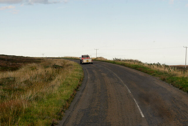
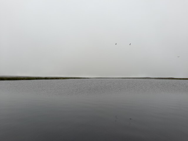
Lint Lochs is a picturesque freshwater system located in Caithness, a historic county in the far north of Scotland. Nestled amidst the rugged and scenic landscape, Lint Lochs is a collection of interconnected water bodies, including lakes, pools, ponds, and freshwater marshes.

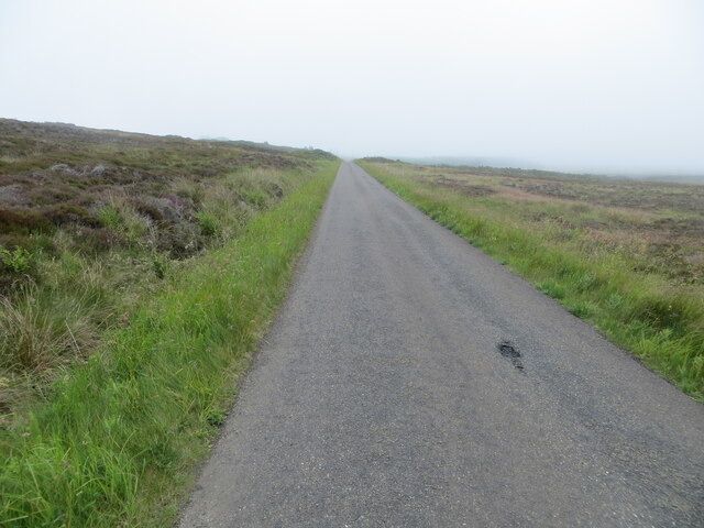
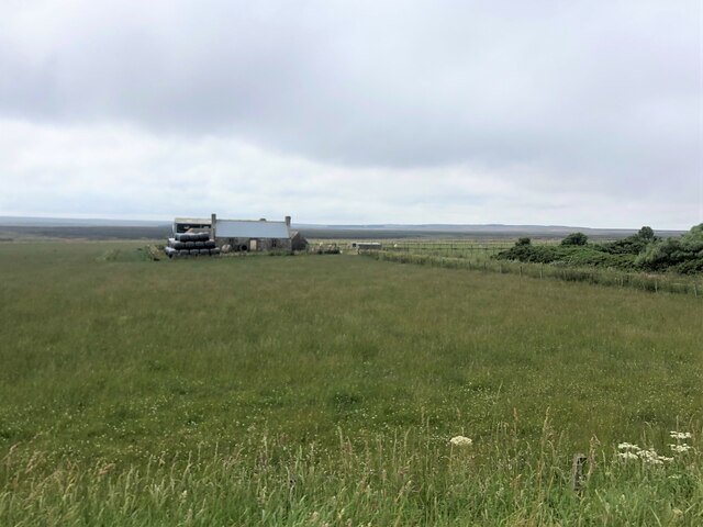
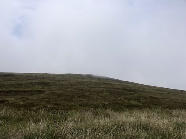
Covering an area of approximately 100 hectares, the Lochs are situated in a low-lying region, surrounded by moorland and heathland. The water bodies are fed by numerous small streams and springs that flow from the nearby hills, ensuring a constant supply of fresh water.

The Lochs are renowned for their rich biodiversity and serve as a vital habitat for a variety of plant and animal species. The freshwater marshes, in particular, support a diverse range of wetland plants, including reeds, sedges, and water lilies. This lush vegetation provides a crucial breeding ground and shelter for various bird species, such as ducks, swans, and waders.

Angling enthusiasts are also drawn to Lint Lochs, as the lakes and pools are home to a healthy population of fish, including brown trout and pike. Fishing permits are available for visitors who wish to enjoy the tranquility of the surroundings while trying their luck at catching a prized fish.

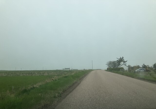
The Lochs are a popular destination for outdoor enthusiasts and nature lovers, who can explore the area through a network of walking trails and observation points. The breathtaking scenery, coupled with the abundant wildlife, makes Lint Lochs a haven for wildlife photography and nature appreciation.

If you have any feedback on the listing, please let us know in the comments section below.
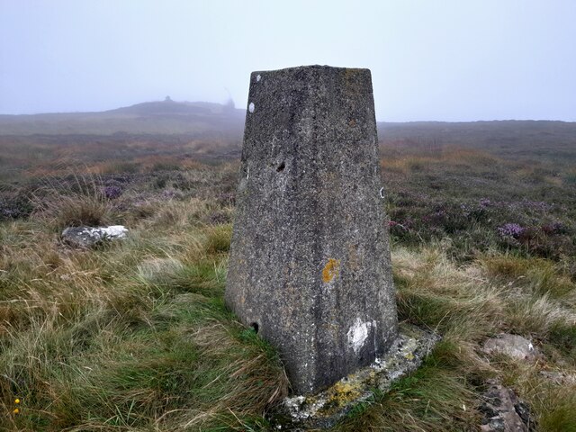
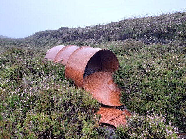
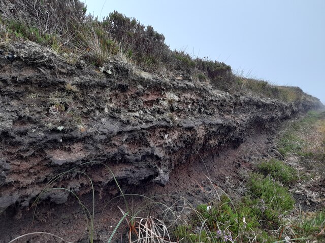
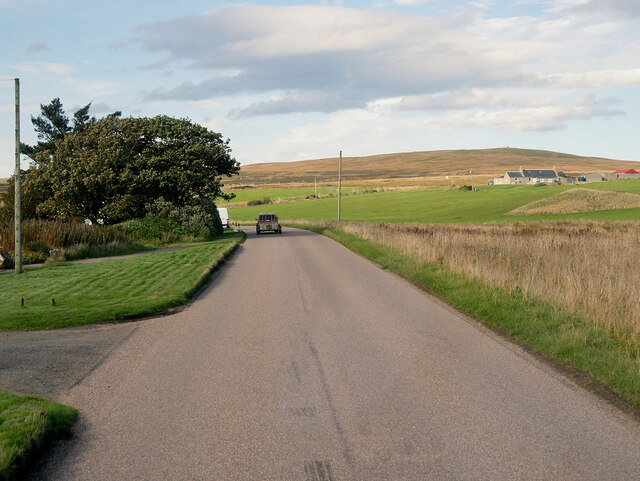
Lint Lochs Images

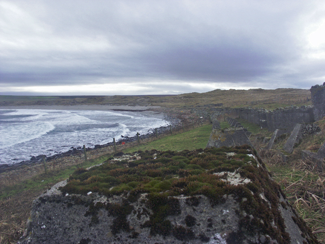
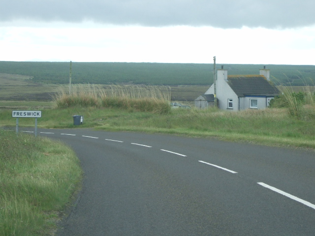
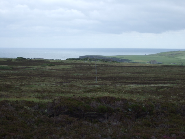
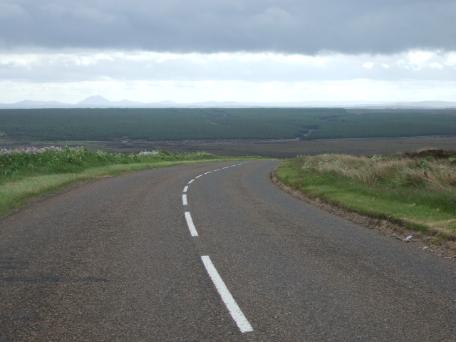
Images are sourced within 2km of 58.611521/-3.0734326 or Grid Reference ND3769. Thanks to Geograph Open Source API. All images are credited.

Triangulation pillar on Warth Hill Primary S2673
Triangulation pillar on Warth Hill
Primary S2673
Oil Drum, Warth Hill There can be something to like in the rich colour of the rust.
Oil Drum, Warth Hill
There can be something to like in the rich colour of the rust.
Peat Workings, Warth Hill Lots of disused peat workings in the vicinity.
Peat Workings, Warth Hill
Lots of disused peat workings in the vicinity.
A99 near Tofts House The A99 follows the east coast of Caithness from Latheron, where it leaves the A9, though the town of Wick to John o' Groats at the north-east corner of the Highlands. The road is a trunk road between Latheron and Wick. It was part of the A9 until 1997, when the A9 was re-routed along what had been the A895-A882 link between Latheron and Thurso.

The A99 forms part of the North Coast 500 (NC500) which was launched in 2015. NC500 is a 516-mile scenic route around the north coast of Scotland, starting and ending at Inverness Castle,
A99 near Tofts House
The A99 follows the east coast of Caithness from Latheron, where it leaves the A9, though the town of Wick to John o' Groats at the north-east corner of the Highlands. The road is a trunk road between Latheron and Wick. It was part of the A9 until 1997, when the A9 was re-routed along what had been the A895-A882 link between Latheron and Thurso. The A99 forms part of the North Coast 500 (NC500) which was launched in 2015. NC500 is a 516-mile scenic route around the north coast of Scotland, starting and ending at Inverness Castle,
A99, Warth Hill The A99 follows the east coast of Caithness from Latheron, where it leaves the A9, though the town of Wick to John o' Groats at the north-east corner of the Highlands. The road is a trunk road between Latheron and Wick. It was part of the A9 until 1997, when the A9 was re-routed along what had been the A895-A882 link between Latheron and Thurso.

The A99 forms part of the North Coast 500 (NC500) which was launched in 2015. NC500 is a 516-mile scenic route around the north coast of Scotland, starting and ending at Inverness Castle,
A99, Warth Hill
The A99 follows the east coast of Caithness from Latheron, where it leaves the A9, though the town of Wick to John o' Groats at the north-east corner of the Highlands. The road is a trunk road between Latheron and Wick. It was part of the A9 until 1997, when the A9 was re-routed along what had been the A895-A882 link between Latheron and Thurso. The A99 forms part of the North Coast 500 (NC500) which was launched in 2015. NC500 is a 516-mile scenic route around the north coast of Scotland, starting and ending at Inverness Castle,
Loch Lomishan On a warm and murky afternoon.
Loch Lomishan
On a warm and murky afternoon.
Moorland road heading towards Outertown Cottage Looking south-eastward.
Moorland road heading towards Outertown Cottage
Looking south-eastward.
Croft at Tofts
Croft at Tofts
Warth Hill A cairn on the top of the hill is just visible in the low cloud
Warth Hill
A cairn on the top of the hill is just visible in the low cloud
Approaching Granton Cottage
A99 southbound
A99 southbound
Entering Freswick
Entering Freswick
Anti-invasion defences, Freswick Bay, Caithness The photo shows a double row of "Dragon's Teeth" and a row of "Cubes".
Anti-invasion defences, Freswick Bay, Caithness
The photo shows a double row of "Dragon's Teeth" and a row of "Cubes".
Red Road Cottage By the A99 as it starts the run down into Freswick, having crossed Warth Hill.
Red Road Cottage
By the A99 as it starts the run down into Freswick, having crossed Warth Hill.
View SE from A99 on Warth Hill Looking towards the coast at Skirza Head <a href="https://www.geograph.org.uk/gridref/ND3968">ND3968</a>.
View SE from A99 on Warth Hill
Looking towards the coast at Skirza Head ND3968.
Descent south from Warth Hill On the A99 from John o'Groats.
Descent south from Warth Hill
On the A99 from John o'Groats.
Junction for Canisbay off A99 at Freswick By Everley (off left); Granton Cottage (Tofts) ahead right.
Junction for Canisbay off A99 at Freswick
By Everley (off left); Granton Cottage (Tofts) ahead right.
Granton Cottage, Tofts By A99 approaching Freswick from the north.
Granton Cottage, Tofts
By A99 approaching Freswick from the north.
Show me another place!

Lint Lochs is located at Grid Ref: ND3769 (Lat: 58.611521, Lng: -3.0734326)

Unitary Authority: Highland

Police Authority: Highlands and Islands

What 3 Words

///reader.patching.ripe. Near John o' Groats, Highland

Nearby Locations

Lint Lochs Warth Hill

Related Wikis

Skirza

Skirza or Skirsa, is a small remote linear fishing village, overlooking Freswick Bay to the south and Skirza Head to the southeast, in eastern Caithness...
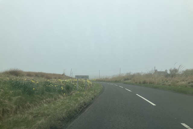
Freswick

Freswick ( FREZZ-ik) or Skirsa, is a small remote hamlet, overlooking Freswick Bay to the east, in eastern Caithness, Scottish Highlands and is in the...

John o' Groats

John O' Groats (Scottish Gaelic: Taigh Iain Ghròt) is a village 2.5 mi (4 km) northeast of Canisbay, Caithness, in the far north of Scotland. John O' Groats...

Huna, Caithness

Huna is a small remote crofting township, located 1 mile northeast of Canisbay and 1.5 miles west of John o' Groats in Caithness, in Scotland. It is currently...
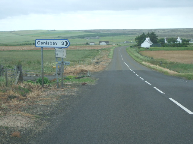
Canisbay

Canisbay is a rural hamlet located about one mile (1.5 kilometres) southwest of Huna and two and a half miles (four kilometres) southwest of John o' Groats...

Huna House

Huna House is a Victorian building located in the small village of Huna in Canisbay, north of Caithness. Built in 1870 as the Huna Hotel, it is listed...

Canisbay Parish Church

Canisbay Parish Church is a Church of Scotland church in Canisbay, Scotland, that dates back to the early 1600s and is the most northernly church on mainland...
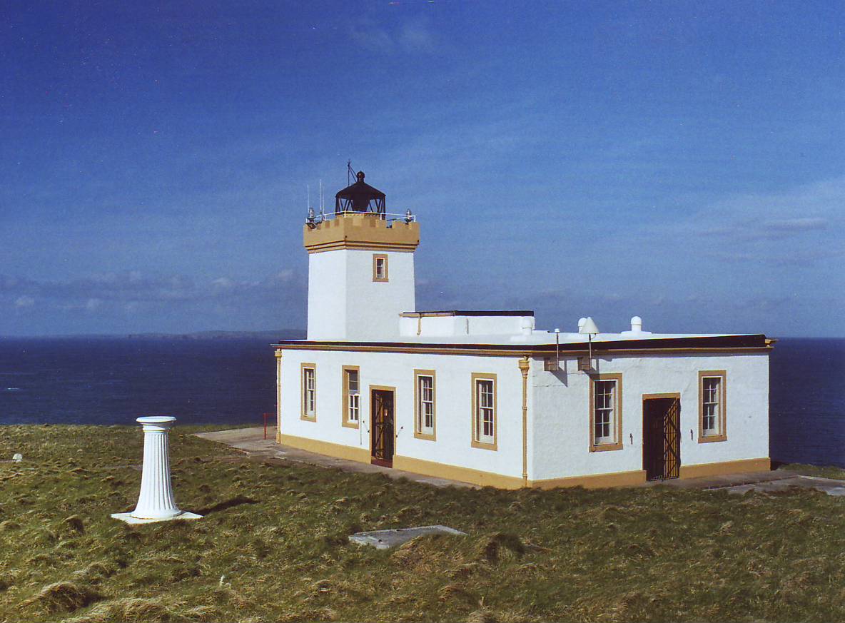
Duncansby Head

Duncansby Head (Scottish Gaelic: Ceann Dhunngain or Dùn Gasbaith) is the most northeasterly part of both the Scottish and British mainlands, slightly...

Nearby Amenities

Located within 500m of 58.611521,-3.0734326
Power: pole
Lat/Long: 58.6148034/-3.0790804
Power: pole
Lat/Long: 58.6139998/-3.0787393
Power: pole
Lat/Long: 58.6131559/-3.078382
Power: pole
Lat/Long: 58.6123248/-3.0780287
Power: pole
Lat/Long: 58.611483/-3.0777201
Power: pole
Lat/Long: 58.6106285/-3.0773506
Power: pole
Lat/Long: 58.6098491/-3.0780307
Power: pole
Lat/Long: 58.6092241/-3.0785708
Power: pole
Lat/Long: 58.6085652/-3.0791434
The data included in this document is from www.openstreetmap.org. The data is made available under ODbL.

Have you been to Lint Lochs?

Leave your review of Lint Lochs below (or comments, questions and feedback).