Horse Pool

Lake, Pool, Pond, Freshwater Marsh in Cumberland Carlisle

England

Horse Pool

Floriston Bridge over M6 northbound
Floriston Bridge over M6 northbound Credit: Alpin Stewart

Horse Pool, located in Cumberland, is a natural freshwater feature that encompasses the characteristics of a lake, pool, pond, and freshwater marsh. Situated in a picturesque setting, this water body offers a diverse ecosystem and attracts various wildlife species.

Covering a significant area, Horse Pool is surrounded by lush vegetation, including reeds, grasses, and shrubs, forming a marshland around its edges. The marshland serves as a valuable habitat for numerous aquatic plants and animals, such as water lilies, cattails, frogs, and turtles.

The water in Horse Pool is calm and serene, resembling a pool or a pond. It is crystal-clear and hosts a variety of fish species, including bass, trout, and perch. Anglers often visit Horse Pool to enjoy a day of fishing, as it is known for its abundant fish population.

The deeper areas of Horse Pool are reminiscent of a small lake, with depths varying between 10 and 20 feet. These deeper sections provide a sanctuary for larger fish and support a wider range of biodiversity.

Horse Pool offers a tranquil and scenic environment for recreational activities such as boating, kayaking, and canoeing. The calm water surface, coupled with the surrounding natural beauty, makes it an ideal location for nature enthusiasts and photographers.

The Cumberland area takes pride in preserving the integrity of Horse Pool, ensuring the conservation of its ecosystem and wildlife. Visitors are encouraged to appreciate and respect the natural habitat while enjoying the tranquility and beauty that Horse Pool has to offer.

If you have any feedback on the listing, please let us know in the comments section below.

Horse Pool Images

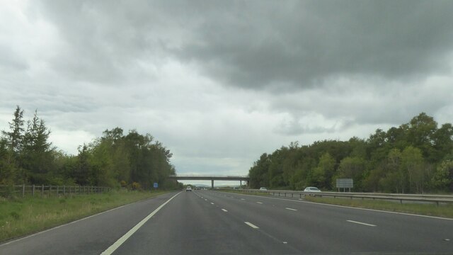
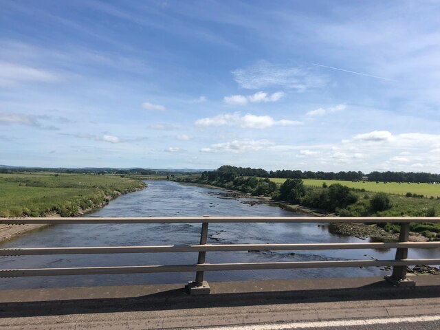
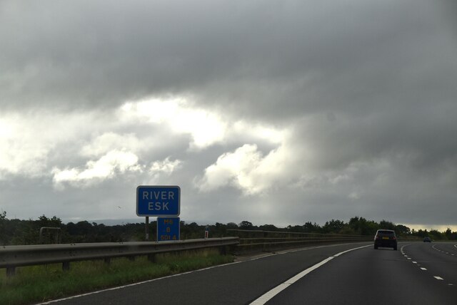
Images are sourced within 2km of 54.977507/-2.9921089 or Grid Reference NY3665. Thanks to Geograph Open Source API. All images are credited.

Floriston Bridge over M6 northbound
River Esk At Metal Bridge, north of Carlisle
River Esk
At Metal Bridge, north of Carlisle
View east from the M6
M6, southbound
M6, southbound
M6 crossing the River Esk
M6, southbound The M6 motorway runs from junction 19 of the M1 at the Catthorpe Interchange, near Rugby to the Gretna junction (J45). Here it becomes the A74(M) and M74 which continues to Glasgow.

The M6 is the longest motorway in the United Kingdom (232 miles) and one of the busiest. It incorporates the first length of motorway opened in the UK (the Preston bypass in 1958) and forms part of a motorway "Backbone of Britain", running north-south between London and Glasgow via the industrial north of England. It is also part of the east-west route between the Midlands and the east coast ports.
M6, southbound
The M6 motorway runs from junction 19 of the M1 at the Catthorpe Interchange, near Rugby to the Gretna junction (J45). Here it becomes the A74(M) and M74 which continues to Glasgow. The M6 is the longest motorway in the United Kingdom (232 miles) and one of the busiest. It incorporates the first length of motorway opened in the UK (the Preston bypass in 1958) and forms part of a motorway "Backbone of Britain", running north-south between London and Glasgow via the industrial north of England. It is also part of the east-west route between the Midlands and the east coast ports.
Metal Bridge Metal Bridge is more an area of marshland than a hamlet, on both sides of the estuary where the confluence of the rivers Esk and Lyne flow west into the Solway Firth. The public house and a few other dwellings (seen here) comprise the totality of the hamlet. Viewed from the layby on the southbound side of the A74.
Metal Bridge
Metal Bridge is more an area of marshland than a hamlet, on both sides of the estuary where the confluence of the rivers Esk and Lyne flow west into the Solway Firth. The public house and a few other dwellings (seen here) comprise the totality of the hamlet. Viewed from the layby on the southbound side of the A74.
Country road near Floristonrigg
Lynefoot Farm Just upstream from the confluence of the Lyne with the Esk. Unfortunately there is no public access to the river bank here.
Lynefoot Farm
Just upstream from the confluence of the Lyne with the Esk. Unfortunately there is no public access to the river bank here.
Burnfoot Farm A fine farmhouse on the flats along the lower reaches of the River Esk.
Burnfoot Farm
A fine farmhouse on the flats along the lower reaches of the River Esk.
A good time for the gulls! Moor House Farm, near Todhills.
A good time for the gulls!
Moor House Farm, near Todhills.
Parkland at Justicetown Formerly known as Lynehow.
Parkland at Justicetown
Formerly known as Lynehow.
West Lodge, Justicetown
Hornickhill Farm On the flats near the lower reaches of the River Lyne.
Hornickhill Farm
On the flats near the lower reaches of the River Lyne.
Green lane at Hornickhill
The Fauld A very large farm on the lower reaches of the River Esk.
The Fauld
A very large farm on the lower reaches of the River Esk.
Stream near the Fauld The bridge in the distance once carried the Waverley Line, the line from Carlisle to Edinburgh, axed by Beechig.
Stream near the Fauld
The bridge in the distance once carried the Waverley Line, the line from Carlisle to Edinburgh, axed by Beechig.
Bridge near the Fauld
Show me another place!

Horse Pool is located at Grid Ref: NY3665 (Lat: 54.977507, Lng: -2.9921089)

Administrative County: Cumbria

District: Carlisle

Police Authority: Cumbria

What 3 Words

///smart.slouched.noun. Near Longtown, Cumbria

Related Wikis

River Lyne

The River Lyne is a river of Cumbria in England. The river is formed near the hamlet of Stapleton, five miles west of Bewcastle, by the confluence of the...

River Esk, Dumfries and Galloway

The River Esk (Scottish Gaelic: Easg), also known as the Border Esk, is a river in Dumfries and Galloway, Scotland, that enters the English county of Cumbria...

Metal Bridge, Cumbria

Metal Bridge is a small settlement in Cumbria, England between Carlisle and Gretna, formerly on the main A74 road. The settlement consists of a few properties...

Floriston railway station

Floriston railway station was a station which served the rural area around Floristonrigg, Rockcliffe Parish, south of Gretna in the English county of Cumberland...

Nearby Amenities

Located within 500m of 54.977507,-2.9921089
Created By: Merkaartor 0.12
Lat/Long: 54.9748427/-2.9948472
Place: farm
Lat/Long: 54.976129/-2.9959302
Power: pole
Lat/Long: 54.9793712/-2.9977167
Power: pole
Lat/Long: 54.9792104/-2.995865
Power: pole
Lat/Long: 54.9790482/-2.9939893
Power: pole
Lat/Long: 54.9788983/-2.99231
Power: pole
Lat/Long: 54.9788983/-2.9903529
Power: pole
Lat/Long: 54.9788997/-2.9883334
Power: pole
Lat/Long: 54.9788956/-2.986302
The data included in this document is from www.openstreetmap.org. The data is made available under ODbL.

Have you been to Horse Pool?

Leave your review of Horse Pool below (or comments, questions and feedback).