Looma Shun

Lake, Pool, Pond, Freshwater Marsh in Orkney

Scotland

Looma Shun

A966 at Evie, Orkney
A966 at Evie, Orkney Credit: Alpin Stewart

Looma Shun is a picturesque freshwater marsh located in Orkney, an archipelago situated off the northeastern coast of Scotland. Nestled amidst the rolling green hills and rugged coastlines, this natural wonder spans a vast area, captivating visitors with its serene beauty and diverse ecosystem.

The main characteristic of Looma Shun is its still, calm waters that resemble a lake or pond. Its tranquil surface reflects the surrounding landscape, creating a mesmerizing mirror-like effect. The marsh is fed by natural springs and rainwater, ensuring a constant flow of freshwater. This makes Looma Shun an ideal habitat for a wide array of aquatic flora and fauna.

The marsh is home to various species of water plants, including lilies, reeds, and cattails. These plants provide shelter and food for a diverse range of wildlife, such as waterfowl, amphibians, and small mammals. Birdwatchers can spot a multitude of species, including herons, ducks, and even rare migratory birds that use Looma Shun as a resting point during their journeys.

Visitors to Looma Shun can explore the marsh's enchanting surroundings by walking along the designated paths or taking a boat ride across the calm waters. The marsh's peaceful ambiance offers a perfect retreat for nature enthusiasts and photographers seeking to capture the beauty of this unique ecosystem.

Looma Shun is not only a place of natural beauty but also an important ecological site. Its preservation is crucial for maintaining biodiversity and providing a sanctuary for countless species that depend on this delicate freshwater ecosystem.

If you have any feedback on the listing, please let us know in the comments section below.
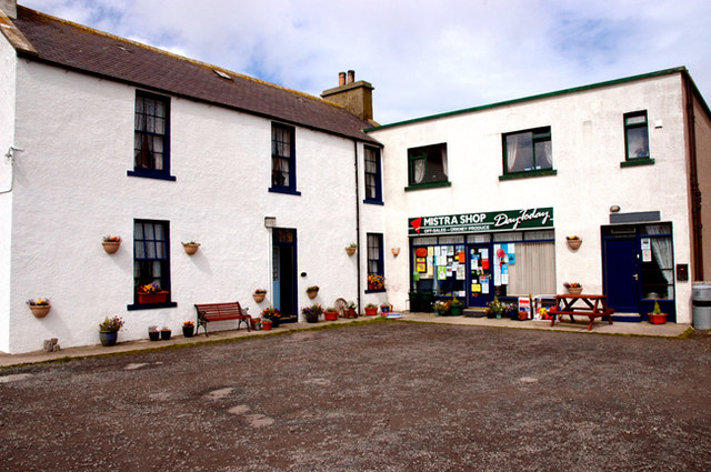
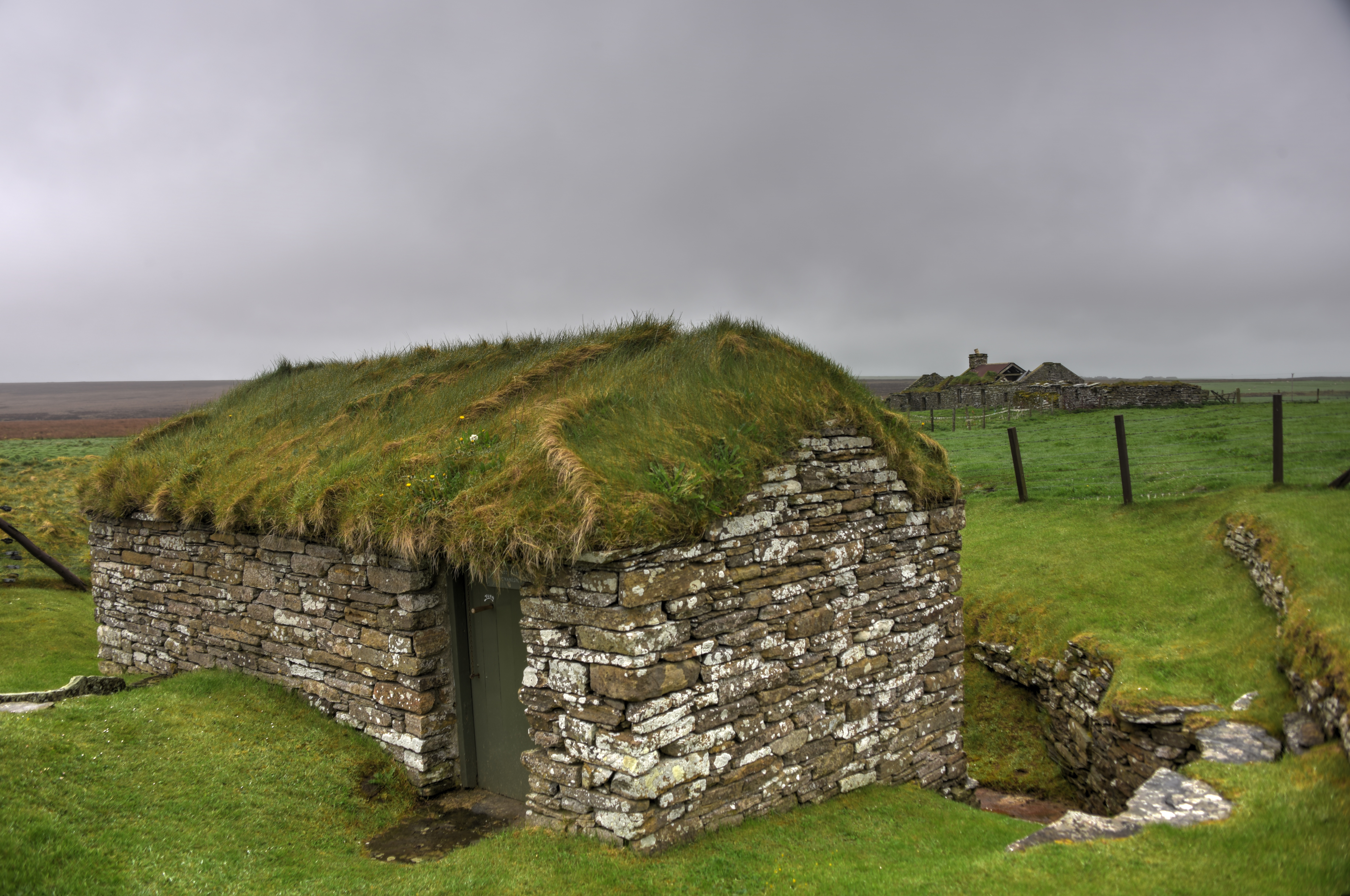
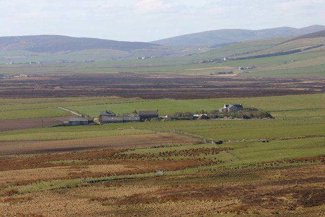
Looma Shun Images

Images are sourced within 2km of 59.095224/-3.1164042 or Grid Reference HY3623. Thanks to Geograph Open Source API. All images are credited.

A966 at Evie, Orkney
Evie primary school
Evie primary school
Blythemo Looking up towards the wind farm from the car park at the Royal Society for the Protection of Birds Birsay Moors reserve. You can probably see from the dock plants in the foreground that it was extremely windy!
Blythemo
Looking up towards the wind farm from the car park at the Royal Society for the Protection of Birds Birsay Moors reserve. You can probably see from the dock plants in the foreground that it was extremely windy!
Old peat workings This site is well worked out but is part of a huge area worked for peat over the last 200 years.  A few people still cut small amounts but lower down in Queefiglamo (a name needing explanation - anyone?).
The Wind Turbines of Burger Hill are seen from here.
Old peat workings
This site is well worked out but is part of a huge area worked for peat over the last 200 years. A few people still cut small amounts but lower down in Queefiglamo (a name needing explanation - anyone?). The Wind Turbines of Burger Hill are seen from here.
Evie: Lower Quoys and view towards Eynhallow The island of Eynhallow is set out behind an attractive house in Redland, to the southeast of Evie.
Evie: Lower Quoys and view towards Eynhallow
The island of Eynhallow is set out behind an attractive house in Redland, to the southeast of Evie.
Looking down to Evie from Burgar Hill Across Eynhallow Sound is Rousay.
Looking down to Evie from Burgar Hill
Across Eynhallow Sound is Rousay.
Looking down to Evie from Breeran On the horizon, the hills of Rousay; in front of them, Eynhallow Sound with, slightly left of centre on the near side of the sound, the curving beach of Evie Sands.
Looking down to Evie from Breeran
On the horizon, the hills of Rousay; in front of them, Eynhallow Sound with, slightly left of centre on the near side of the sound, the curving beach of Evie Sands.
Flaws Cottage View over grazing land towards Eynhallow Sound on the horizon.
Flaws Cottage
View over grazing land towards Eynhallow Sound on the horizon.
Flaws View past the farm left and along the A966 towards Redland.
Flaws
View past the farm left and along the A966 towards Redland.
Evie Hostel View along the A966 past the hostel left of the road.
Evie Hostel
View along the A966 past the hostel left of the road.
Muckle Billia Fiold A track for part of the way then just moorland with Jim Bloomer and Tricky Speirs.
Name:Muckle Billia Fiold
Hill number:12195
Height: 196m / 643ft
Parent (Ma/M):1555  Milldoe - Mid Tooin
Area:23: Orkney Islands
Class:1
Grid ref: HY355237 (est)
Drop: 49m
Col: 147m  HY353220
Muckle Billia Fiold
A track for part of the way then just moorland with Jim Bloomer and Tricky Speirs. Name:Muckle Billia Fiold Hill number:12195 Height: 196m / 643ft Parent (Ma/M):1555 Milldoe - Mid Tooin Area:23: Orkney Islands Class:1 Grid ref: HY355237 (est) Drop: 49m Col: 147m HY353220
Heading For Muckle Billia Fiold
Start Of The Track Here is the start of the track which takes you to the peat cutting area on Mid Hill.
Start Of The Track
Here is the start of the track which takes you to the peat cutting area on Mid Hill.
Birsay Moors Nature Reserve Bird species specifically named on the information board include Short-eared Owl, Hen Harrier, Arctic Skua, Red Grouse, Curlew and Golden Plover.

The wind turbines are located in <a href="https://www.geograph.org.uk/gridref/HY3425">HY3425</a>.
Birsay Moors Nature Reserve
Bird species specifically named on the information board include Short-eared Owl, Hen Harrier, Arctic Skua, Red Grouse, Curlew and Golden Plover. The wind turbines are located in HY3425.
Boggy track Through peaty moorland.
Boggy track
Through peaty moorland.
The Birsay Moors On this day the haar (Orkadians call it a mist, in England a sea-fret) lay on the east coast like a blanket, unshifting.  The moor here is just below this mist and in the far distance the bases of large wind turbines can just about be seen, their upper parts completely lost in the clouds.
The Birsay Moors
On this day the haar (Orkadians call it a mist, in England a sea-fret) lay on the east coast like a blanket, unshifting. The moor here is just below this mist and in the far distance the bases of large wind turbines can just about be seen, their upper parts completely lost in the clouds.
Burgar Hill from Breeran
Birsay Moors It feels like moorland conditions in mist and rain.
Birsay Moors
It feels like moorland conditions in mist and rain.
Show me another place!

Looma Shun is located at Grid Ref: HY3623 (Lat: 59.095224, Lng: -3.1164042)

Unitary Authority: Orkney Islands

Police Authority: Highlands and Islands

What 3 Words

///employer.adventure.workloads. Near Evie, Orkney Islands

Nearby Locations

Hill of Huntis Looma Shun

Related Wikis

Evie, Orkney

Evie (pronounced ) is a parish and village on Mainland, Orkney, Scotland. The parish is located in the north-west of the Mainland, between Birsay and Rendall...

Sands of Evie

The Sands of Evie is a sandy beach landform near the village of Evie on Mainland Orkney, Scotland, protected by the Point of Hellia headland. This beach...

Aikerness Bay

Aikerness Bay is an embayment of Eynhallow Sound on the northwest coast of Mainland Orkney, Scotland. The headlands of Point of Hellia at the east and...

Point of Hellia

The Point of Hellia is a headland on the northwest coast of the Orkney Mainland, Scotland. This landform extends into the southern part of Eynhallow Sound...

Broch of Gurness

The Broch of Gurness is an Iron Age broch village on the northeast coast of Mainland Orkney in Scotland overlooking Eynhallow Sound, about 15 miles north...

Dounby Click Mill

Dounby Click Mill is a mill located on the Mainland of Orkney, in Scotland. It is the last of the horizontal or "Norse" watermills of Orkney still in working...

Rendall

Rendall (Old Norse: Rennudalr or Rennadal) is a parish on Mainland, Orkney, Scotland. It is in the north west of the island and lies east of the parishes...

Eynhallow Sound

Eynhallow Sound is a seaway lying between Mainland Orkney and the island of Rousay in the Orkney Islands, Scotland. The tidal indraught is "scarcely felt...

Nearby Amenities

Located within 500m of 59.095224,-3.1164042
Hill of Huntis
Place: locality
Lat/Long: 59.0967984/-3.1098546
North Kews
Place: locality
Lat/Long: 59.0945425/-3.1114287
The data included in this document is from www.openstreetmap.org. The data is made available under ODbL.

Have you been to Looma Shun?

Leave your review of Looma Shun below (or comments, questions and feedback).