Weaver's Pool

Lake, Pool, Pond, Freshwater Marsh in Monmouthshire

Wales

Weaver's Pool

Llanfair Kilgeddin Village Hall Corrugated metal building on the west side of the B4598 in rural Monmouthshire between Usk and Abergavenny.
<a title="https://www.geograph.org.uk/photo/5390430" href="https://www.geograph.org.uk/photo/5390430">Link</a> to another view of the hall.
Llanfair Kilgeddin Village Hall Credit: Jaggery

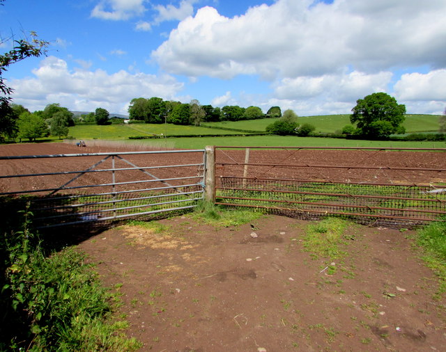
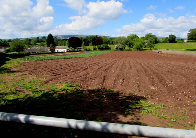
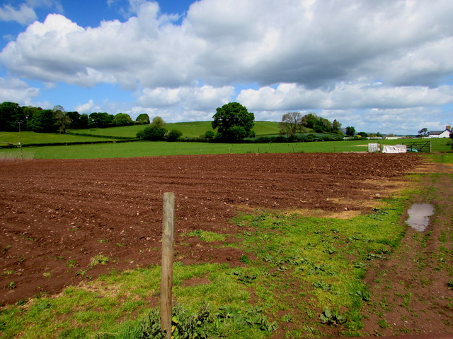
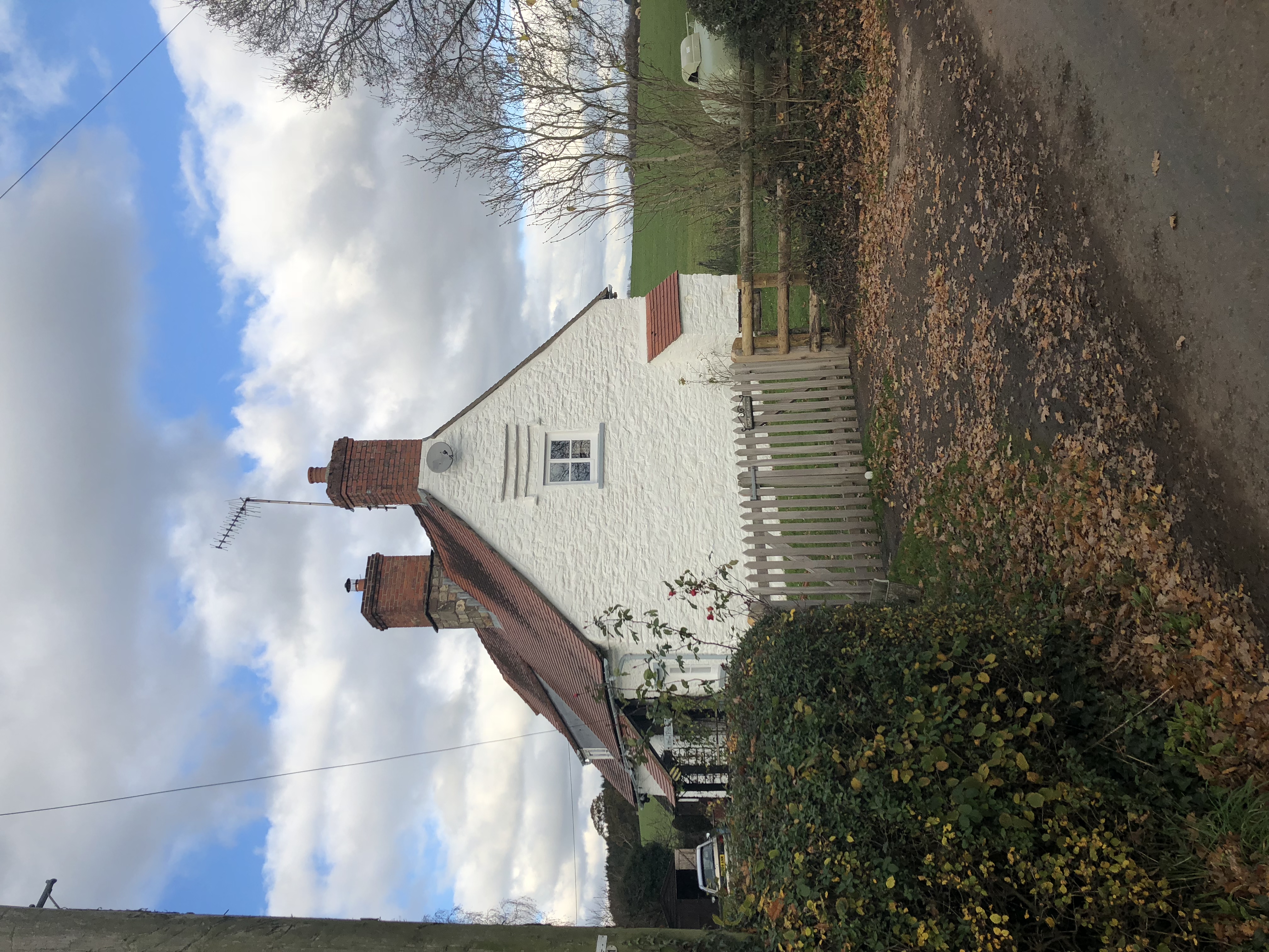
Weaver's Pool is a picturesque freshwater marsh located in Monmouthshire, Wales. Stretching across an area of approximately 5 hectares, this enchanting natural habitat is a haven for various species of flora and fauna. It is situated within close proximity to the village of Llanvihangel Crucorney and lies adjacent to the beautiful River Monnow.

The pool itself is a small body of water, characterized by its calm and serene ambiance. Surrounded by lush vegetation and reed beds, it provides a tranquil sanctuary for a diverse range of aquatic plants and animals. The marshland surrounding the pool consists of nutrient-rich soil, enabling the growth of numerous species of wetland plants such as bulrushes, sedges, and water lilies.

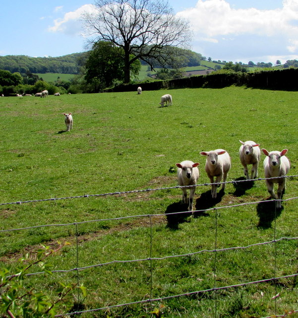
Weaver's Pool is home to an abundance of wildlife, attracting nature enthusiasts and birdwatchers from far and wide. It provides a nesting ground for various waterfowl, including mallards, tufted ducks, and coots. The reeds and grasslands surrounding the pool offer shelter to small mammals like water voles and otters.

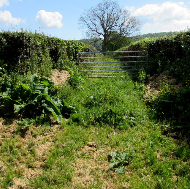
Visitors to Weaver's Pool can enjoy leisurely walks along the designated paths, allowing them to appreciate the natural beauty and tranquility of the area. The pool also presents opportunities for fishing, with anglers often trying their luck in catching species such as perch and pike.

Overall, Weaver's Pool in Monmouthshire is a serene and idyllic freshwater marsh, offering visitors the chance to immerse themselves in nature and observe a plethora of wildlife in their natural habitat.

If you have any feedback on the listing, please let us know in the comments section below.

Weaver's Pool Images

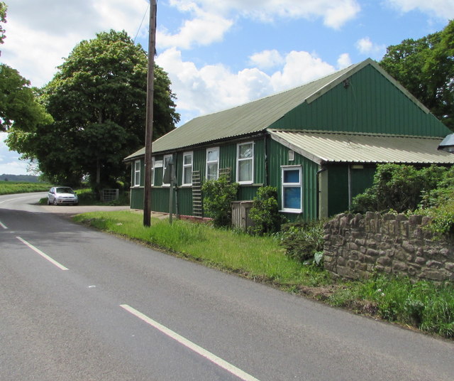
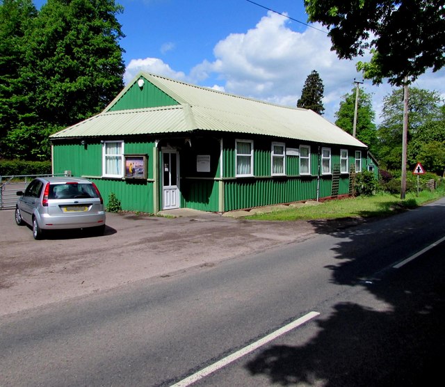
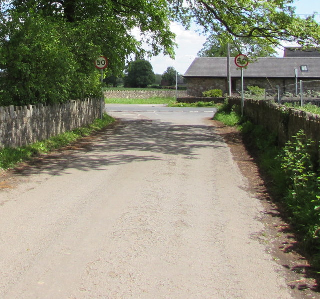
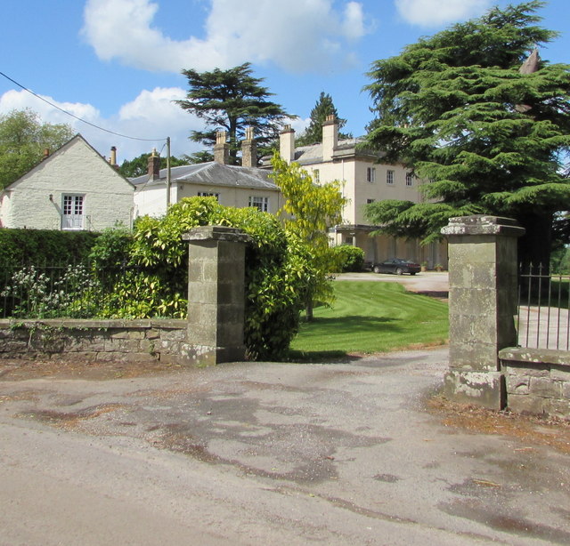
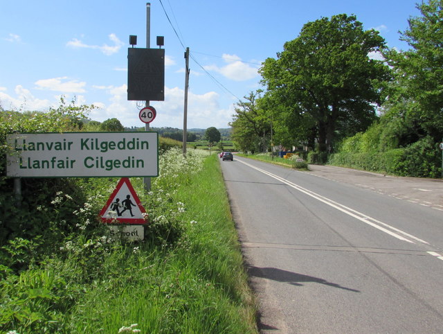
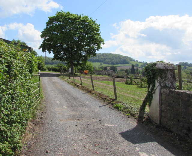
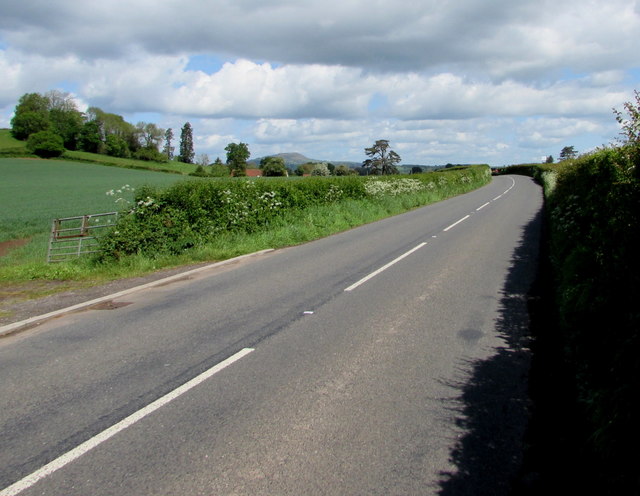
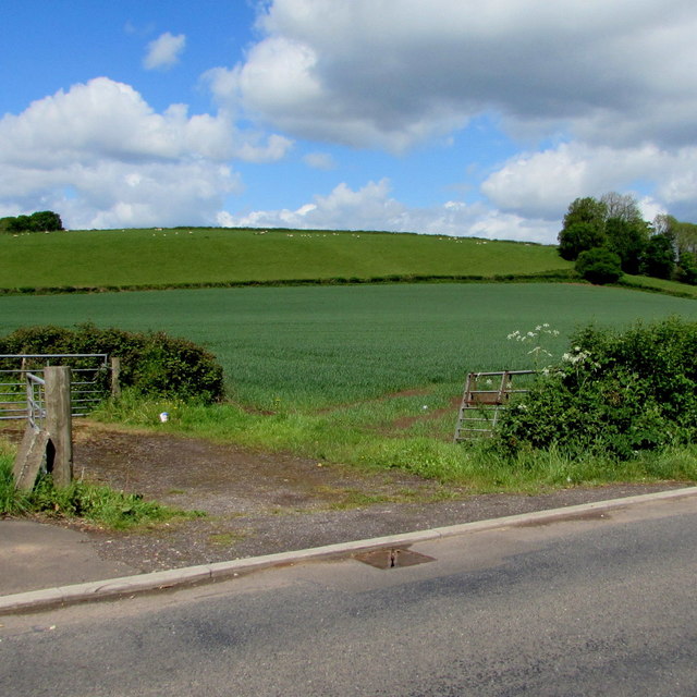
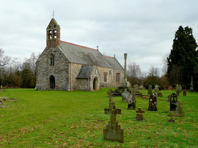
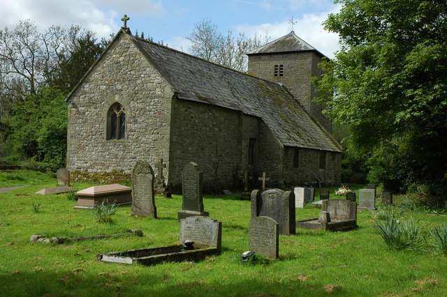
Images are sourced within 2km of 51.774226/-2.9307221 or Grid Reference SO3508. Thanks to Geograph Open Source API. All images are credited.

Llanfair Kilgeddin Village Hall Corrugated metal building on the west side of the B4598 in rural Monmouthshire between Usk and Abergavenny.
<a title="https://www.geograph.org.uk/photo/5390430" href="https://www.geograph.org.uk/photo/5390430">Link</a> to another view of the hall.
Llanfair Kilgeddin Village Hall
Corrugated metal building on the west side of the B4598 in rural Monmouthshire between Usk and Abergavenny. Link to another view of the hall.
Llanfair Kilgeddin Village Hall Corrugated metal building on the west side of the B4598 in rural Monmouthshire between Usk and Abergavenny.
<a title="https://www.geograph.org.uk/photo/5390425" href="https://www.geograph.org.uk/photo/5390425">Link</a> to another view of the hall.
Llanfair Kilgeddin Village Hall
Corrugated metal building on the west side of the B4598 in rural Monmouthshire between Usk and Abergavenny. Link to another view of the hall.
Minor road west from Llanfair Kilgeddin, Monmouthshire Viewed across the B4598. A nearby sign <a title="https://www.geograph.org.uk/photo/5390440" href="https://www.geograph.org.uk/photo/5390440">Link</a> pointing this way shows Llanvair Cross 1 (mile), Goytre 2½.
The 50mph speed limit increases to the National Speed Limit ahead.
Minor road west from Llanfair Kilgeddin, Monmouthshire
Viewed across the B4598. A nearby sign Link pointing this way shows Llanvair Cross 1 (mile), Goytre 2½. The 50mph speed limit increases to the National Speed Limit ahead.
Direction and distances sign, Llanfair Kilgeddin, Monmouthshire Facing northbound traffic on the B4598 on the corner of this <a title="https://www.geograph.org.uk/photo/5390433" href="https://www.geograph.org.uk/photo/5390433">Link</a> minor road junction.
Direction and distances sign, Llanfair Kilgeddin, Monmouthshire
Facing northbound traffic on the B4598 on the corner of this Link minor road junction.
End of the National Speed Limit, Llanfair Kilgeddin, Monmouthshire The National Speed Limit on the minor road from Llanvair Cross
and Goytre drops to 50mph on the approach to the B4598 junction.
End of the National Speed Limit, Llanfair Kilgeddin, Monmouthshire
The National Speed Limit on the minor road from Llanvair Cross and Goytre drops to 50mph on the approach to the B4598 junction.
Grade II Listed Pant-y-Goitre House, Llanfair Kilgeddin, Monmouthshire Built in c1726 with later major changes. Grade II listed in 1956.
Grade II Listed Pant-y-Goitre House, Llanfair Kilgeddin, Monmouthshire
Built in c1726 with later major changes. Grade II listed in 1956.
Llanvair Kilgeddin boundary sign, Monmouthshire The boundary sign is alongside the B4598. 
Llanvair Kilgeddin is a small village between Usk and Abergavenny. 
The village is also Llanfair Kilgeddin in English and Llanfair Cilgedin in Welsh.
Llanvair Kilgeddin boundary sign, Monmouthshire
The boundary sign is alongside the B4598. Llanvair Kilgeddin is a small village between Usk and Abergavenny. The village is also Llanfair Kilgeddin in English and Llanfair Cilgedin in Welsh.
Glanusk Farm access road, Llanfair Kilgeddin, Monmouthshire From the east side of the B4598.
Glanusk Farm access road, Llanfair Kilgeddin, Monmouthshire
From the east side of the B4598.
From 40 to 50 on the B4598, Llanfair Kilgeddin, Monmouthshire The 40mph speed limit on the B4598 near the main residential part of the village increases to 50mph ahead.
From 40 to 50 on the B4598, Llanfair Kilgeddin, Monmouthshire
The 40mph speed limit on the B4598 near the main residential part of the village increases to 50mph ahead.
From 50 to 40 on the B4598, Llanfair Kilgeddin, Monmouthshire The 50mph speed limit on the B4598 drops to 40mph on the approach to the main residential part of the village. The village boundary sign <a title="https://www.geograph.org.uk/photo/5394601" href="https://www.geograph.org.uk/photo/5394601">Link</a> is in the background.
From 50 to 40 on the B4598, Llanfair Kilgeddin, Monmouthshire
The 50mph speed limit on the B4598 drops to 40mph on the approach to the main residential part of the village. The village boundary sign Link is in the background.
Two field gates, Llanfair Kilgeddin, Monmouthshire On the west side of the B4598 in rural Monmouthshire.
Two field gates, Llanfair Kilgeddin, Monmouthshire
On the west side of the B4598 in rural Monmouthshire.
Mostly brown field, Llanfair Kilgeddin, Monmouthshire Viewed from the gate on the left here <a title="https://www.geograph.org.uk/photo/5394623" href="https://www.geograph.org.uk/photo/5394623">Link</a> in mid May 2017.
Mostly brown field, Llanfair Kilgeddin, Monmouthshire
Viewed from the gate on the left here Link in mid May 2017.
Brown field and green fields,  Llanfair Kilgeddin, Monmouthshire Viewed from the gate on the right here <a title="https://www.geograph.org.uk/photo/5394623" href="https://www.geograph.org.uk/photo/5394623">Link</a> in mid May 2017.
Brown field and green fields, Llanfair Kilgeddin, Monmouthshire
Viewed from the gate on the right here Link in mid May 2017.
Cherry Tree Cottages, Llanfair Kilgeddin  Semi-detached cottages alongside the B4598.
Cherry Tree Cottages, Llanfair Kilgeddin
Semi-detached cottages alongside the B4598.
7-bar gate across a track to Glanusk Farm, Llanfair Kilgeddin, Monmouthshire The track is on the east side of the B4598, opposite Cherry Tree Cottages. <a title="https://www.geograph.org.uk/photo/5394656" href="https://www.geograph.org.uk/photo/5394656">Link</a>
The untrodden mid May 2017 vegetation shows that this track has been little used recently.
7-bar gate across a track to Glanusk Farm, Llanfair Kilgeddin, Monmouthshire
The track is on the east side of the B4598, opposite Cherry Tree Cottages. Link The untrodden mid May 2017 vegetation shows that this track has been little used recently.
Inquisitive sheep, Llanfair Kilgeddin, Monmouthshire In a field on the east side of the B4598.
Inquisitive sheep, Llanfair Kilgeddin, Monmouthshire
In a field on the east side of the B4598.
North along the B4598 towards Abergavenny The B4598 here is north of Cherry Tree Cottages. <a title="https://www.geograph.org.uk/photo/5394656" href="https://www.geograph.org.uk/photo/5394656">Link</a> 
The Sabre website states the B4598 extends for 15.6 km (9.7 miles). 
It follows the course of the former A471 between Usk and Abergavenny.
North along the B4598 towards Abergavenny
The B4598 here is north of Cherry Tree Cottages. Link The Sabre website states the B4598 extends for 15.6 km (9.7 miles). It follows the course of the former A471 between Usk and Abergavenny.
Open field entrance, Llanfair Kilgeddin, Monmouthshire On the west side of the B4598 near Cherry Tree Cottages. <a title="https://www.geograph.org.uk/photo/5394656" href="https://www.geograph.org.uk/photo/5394656">Link</a>
Open field entrance, Llanfair Kilgeddin, Monmouthshire
On the west side of the B4598 near Cherry Tree Cottages. Link
Show me another place!

Weaver's Pool is located at Grid Ref: SO3508 (Lat: 51.774226, Lng: -2.9307221)

Unitary Authority: Monmouthshire

Police Authority: Gwent

What 3 Words

///nobody.comically.anchors. Near Llanarth, Monmouthshire

Nearby Locations

Weaver's Pool

Related Wikis

Related Videos

6 mile National Trust's Clytha House Estate walk via the River Usk, Castle, Church & Iron age Fort

Otis follows the red dotted line - River Usk trail around the Clytha Estate near Abergavenny overlooking the Sugar Loaf mountain.

Farm diversification renovating the holiday cottage. The start!

Farm diversification is now essential for most small farms to thrive. We are lucky enough to have a small annex on the farmhouse, ...

Relaxing Walk in Coed Y Bwnydd Wood,Bluebells,Bird sound, Binaural Sounds,ASMR

Hi everyone. Enjoy the tranquil walk in a beautiful bluebell wood. Like, Share, and Subscribe. Enjoy the walk. Check out our other ...

Wild Swimming with our Romanian Rescue Dog | Llanvihangel Gobion | Usk River Valley Walk

A beautiful stroll along the Usk Valley Walk! This was actually filmed back in July but I've only just got round to uploading it!

Nearby Amenities

Located within 500m of 51.774226,-2.9307221
Parking
Lat/Long: 51.7716766/-2.9273482
Information: board
Tourism: information
Lat/Long: 51.7718983/-2.927293
The data included in this document is from www.openstreetmap.org. The data is made available under ODbL.

Have you been to Weaver's Pool?

Leave your review of Weaver's Pool below (or comments, questions and feedback).