Brynderwen Flat
Lake, Pool, Pond, Freshwater Marsh in Monmouthshire
Wales
Brynderwen Flat
Brynderwen Flat is a picturesque freshwater marsh located in the county of Monmouthshire, Wales. Spanning over a vast area, the flat is characterized by its serene lake, tranquil pool, and meandering pond, making it a haven for nature enthusiasts and wildlife alike.
The main attraction of Brynderwen Flat is its expansive lake, which provides a stunning backdrop for visitors. The crystal-clear waters are home to various species of fish, including perch, pike, and roach, making it a popular spot for anglers. Additionally, the lake serves as a vital habitat for an array of waterfowl, such as mallards, swans, and herons, offering a delight to birdwatchers.
Adjacent to the lake, a charming pool can be found, brimming with aquatic plants and small fish. This tranquil body of water is ideal for those seeking a peaceful escape, as its calm surface reflects the surrounding flora and fauna, creating a serene atmosphere.
Further along, a meandering pond adds to the diverse ecosystem of Brynderwen Flat. The pond is teeming with various amphibians, including frogs and newts, and serves as a breeding ground for many aquatic insects. It offers a unique opportunity for nature lovers to observe the fascinating life cycles of these creatures up close.
Overall, Brynderwen Flat in Monmouthshire is a captivating natural landscape that offers a diverse range of freshwater habitats. With its stunning lake, tranquil pool, and meandering pond, this area provides a sanctuary for both wildlife and visitors seeking a peaceful retreat amidst nature's beauty.
If you have any feedback on the listing, please let us know in the comments section below.
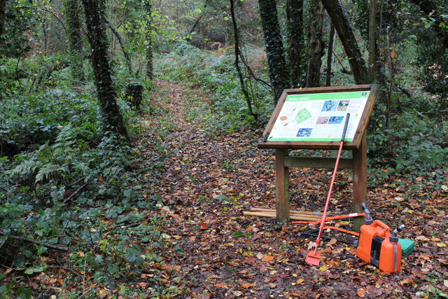
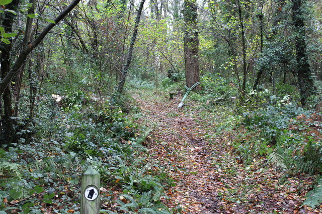
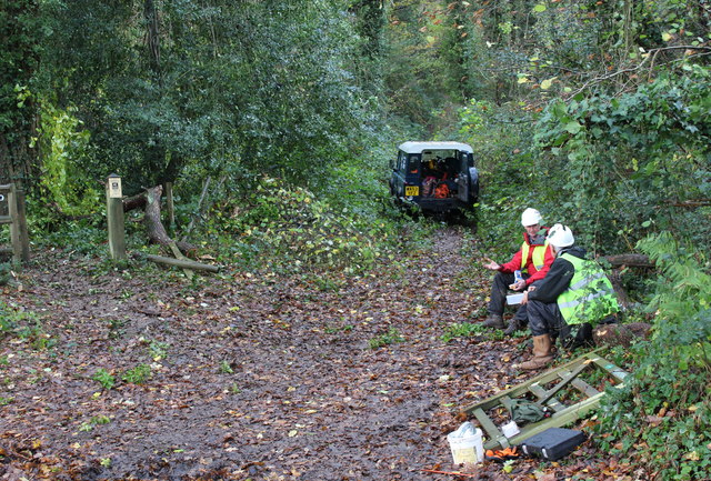
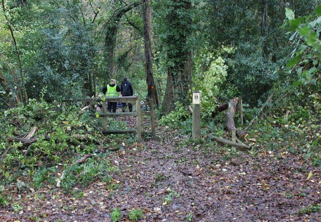
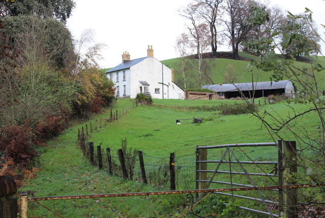
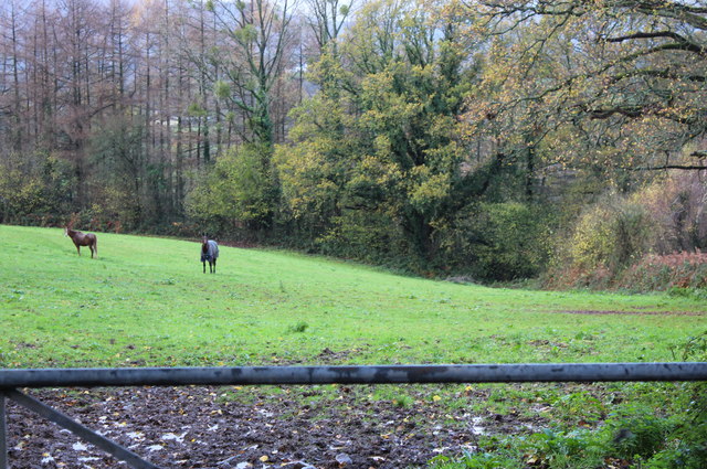
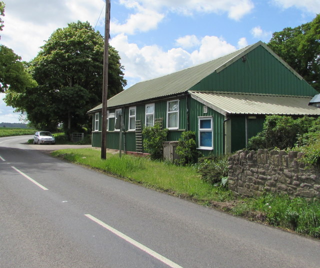
Brynderwen Flat Images
Images are sourced within 2km of 51.760132/-2.9381549 or Grid Reference SO3507. Thanks to Geograph Open Source API. All images are credited.
Brynderwen Flat is located at Grid Ref: SO3507 (Lat: 51.760132, Lng: -2.9381549)
Unitary Authority: Monmouthshire
Police Authority: Gwent
What 3 Words
///bunkers.though.headache. Near Llanarth, Monmouthshire
Nearby Locations
Related Wikis

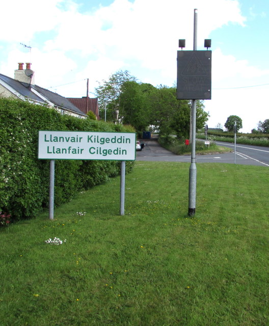
Llanfair Kilgeddin
Llanfair Kilgeddin (Welsh: Llanfair Cilgedin) is a small village in Monmouthshire, south east Wales, lying within the administrative community of Llanover...

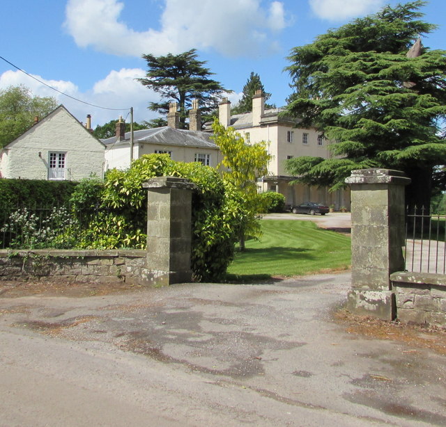
Great House, Llanarth
Great House, Llanarth, Monmouthshire is a farmhouse dating from the late-16th century. Extended in the mid-17th century and little altered thereafter,...

Bettws Newydd
Bettws Newydd (Welsh: Betws Newydd) is a small village in Monmouthshire, in southeast Wales located about 3+1⁄2 miles (5.6 km) north of Usk, a few miles...
Church of St Mary the Virgin, Llanfair Kilgeddin
St Mary the Virgin is the former parish church for Llanfair Kilgeddin, near Usk in Monmouthshire, south east Wales. It is a Grade I listed building, notable...
Nearby Amenities
Located within 500m of 51.760132,-2.9381549Have you been to Brynderwen Flat?
Leave your review of Brynderwen Flat below (or comments, questions and feedback).