Potholm Pool

Lake, Pool, Pond, Freshwater Marsh in Dumfriesshire

Scotland

Potholm Pool

Below Little Hill During a very dry Summer.  This was the last hot day however.
Below Little Hill Credit: Richard Webb

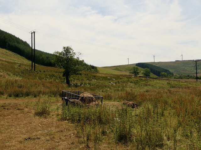
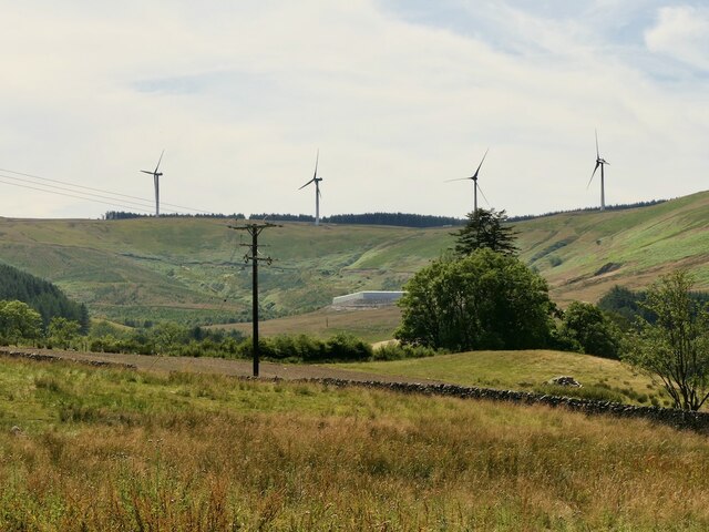
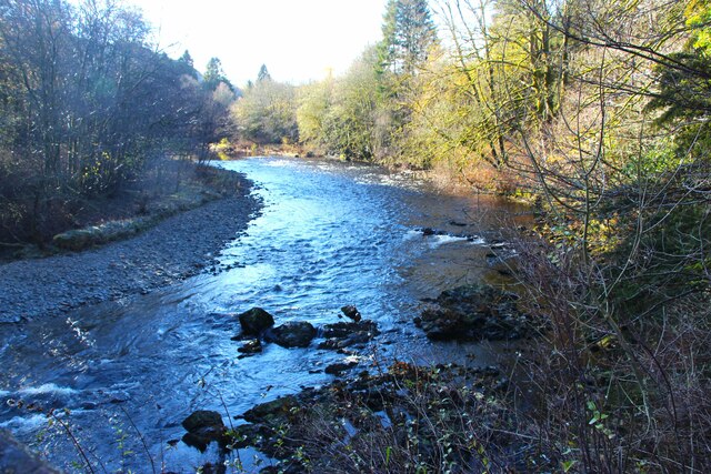
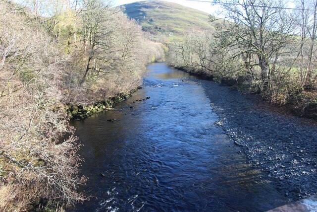
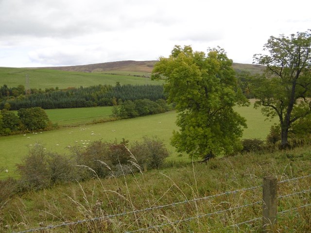
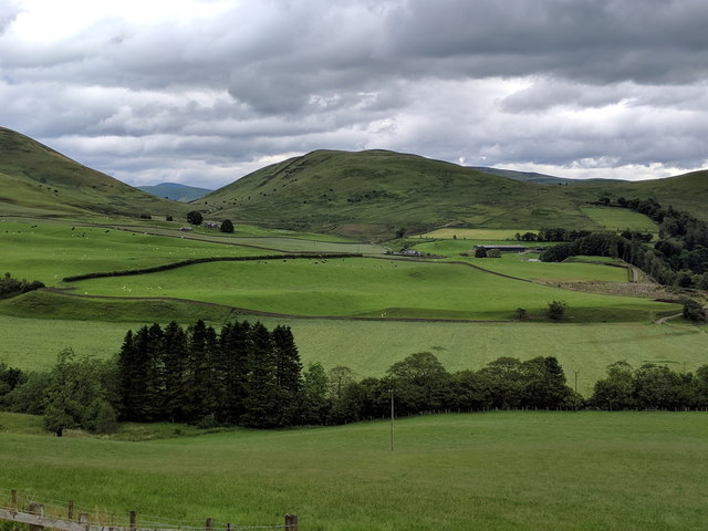
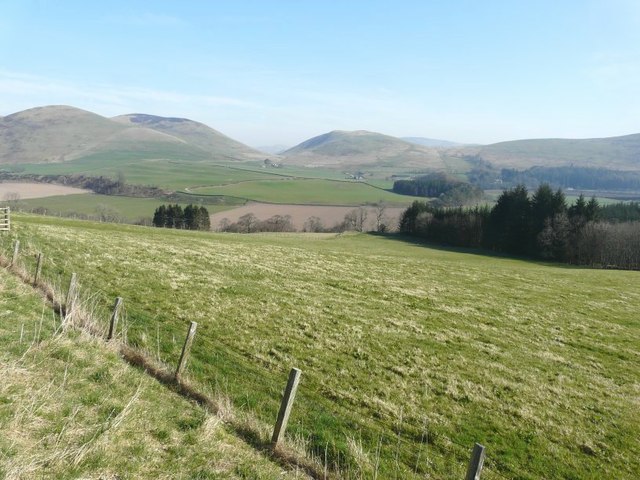
Potholm Pool, located in Dumfriesshire, Scotland, is a picturesque freshwater marsh that serves as a habitat for various aquatic species. Spanning an area of approximately 3 hectares, the pool is surrounded by lush greenery and offers a tranquil environment for both wildlife and visitors.

The pool is known for its diverse ecosystem, supporting a range of flora and fauna. Various species of aquatic plants, including water lilies and reeds, thrive in the pool’s shallow waters, providing shelter and food for numerous creatures. Dragonflies, damselflies, and other insects can often be seen hovering above the water's surface, while birds such as mallards, coots, and swans frequent the pool to feed and breed.

Potholm Pool is also home to a variety of fish, including pike and perch, making it a popular spot for anglers. Fishing enthusiasts can be found along the pool's banks, enjoying the peaceful surroundings as they cast their lines.

The pool is easily accessible, with a well-maintained footpath that allows visitors to explore its perimeter. The area is also equipped with benches and picnic tables, providing opportunities for relaxation and observation.

Potholm Pool is not only a haven for wildlife but also a place of natural beauty. Its tranquil waters, vibrant plant life, and abundant wildlife make it a must-visit destination for nature lovers and those seeking a peaceful retreat in Dumfriesshire.

If you have any feedback on the listing, please let us know in the comments section below.

Potholm Pool Images

Images are sourced within 2km of 55.179642/-3.0170531 or Grid Reference NY3587. Thanks to Geograph Open Source API. All images are credited.

Below Little Hill During a very dry Summer.  This was the last hot day however.
Below Little Hill
During a very dry Summer. This was the last hot day however.
View towards Craig windfarm
A7 near Wrae
A7 near Wrae
A7 near Wrae
A7 near Wrae
River Esk at Burnfoot
Crags, Wrae Hill
Crags, Wrae Hill
Wrae Hill Leaking Charolais bull in Ewesdale.
Wrae Hill
Leaking Charolais bull in Ewesdale.
A7, Ewesdale Passing Wrae Hill.
A7, Ewesdale
Passing Wrae Hill.
Ewesdale Haughs near Wrae.
Ewesdale
Haughs near Wrae.
The Esk valley, seen from the roadside
Milnholm Farm This farm on the north side of Langholm was viewed from Castle Hill.
Milnholm Farm
This farm on the north side of Langholm was viewed from Castle Hill.
Castle Hill The ridge of the hill consists of rough grazing while most of the lower flanks are forested. This is a view towards the River Esk with Golf Hill in the central background.
Castle Hill
The ridge of the hill consists of rough grazing while most of the lower flanks are forested. This is a view towards the River Esk with Golf Hill in the central background.
Farmland at Castle Hill The fields in the Ewes Valley are mostly grazing for sheep and cattle.
Farmland at Castle Hill
The fields in the Ewes Valley are mostly grazing for sheep and cattle.
A small tree on Potholm Hill This small tree has survived the nibbling jaws of sheep and deer as a sapling and stands alone along the ridge of Castle Hill and Potholm Hill on the north side of Langholm.
A small tree on Potholm Hill
This small tree has survived the nibbling jaws of sheep and deer as a sapling and stands alone along the ridge of Castle Hill and Potholm Hill on the north side of Langholm.
The A7 north of Langholm I had parked my car in a nearby lay-by and walked back to take this photo. I also walked past the house but could not see a what it was called, although Arkin is the name on the Ordnance Survey map.
The A7 north of Langholm
I had parked my car in a nearby lay-by and walked back to take this photo. I also walked past the house but could not see a what it was called, although Arkin is the name on the Ordnance Survey map.
The B709 south of Craigcleuch The trees mark the position of Craigcleuch, which is situated in Eskdale.
The B709 south of Craigcleuch
The trees mark the position of Craigcleuch, which is situated in Eskdale.
View from B709 north of Craigcleuch
Show me another place!

Potholm Pool is located at Grid Ref: NY3587 (Lat: 55.179642, Lng: -3.0170531)

Unitary Authority: Dumfries and Galloway

Police Authority: Dumfries and Galloway

What 3 Words

///notifying.triads.butterfly. Near Langholm, Dumfries & Galloway

Nearby Locations

Potholm Pool

Related Wikis

Barntalloch Castle

Barntalloch Castle was a castle located at Staplegorton, in Dumfries and Galloway, Scotland. The castle was built in the 12th century by Galfrid de Coninsburgh...

Duchess Bridge

The Duchess Bridge is a cast iron footbridge over the River Esk in Dumfries and Galloway, Scotland. It was built for Charles Montagu-Scott, 4th Duke of...

Ewesdale

Ewesdale is a glen and former lordship in Dumfries and Galloway, Scotland. The Ewes Water runs through the valley from its source at Mosspaul, until it...

Langholm Academy

Langholm Academy is a non-denominational, co-educational six-year comprehensive secondary school in Langholm, Scotland. Currently, the school has 240 pupils...

Langholm

Langholm , also known colloquially as the "Muckle Toon", is a burgh in Dumfries and Galloway, southern Scotland. Langholm lies between four hills in the...

Thomas Hope Hospital

Thomas Hope Hospital is a health facility in Strand Street, Langholm, Dumfries and Galloway, Scotland. It is managed by NHS Dumfries and Galloway. ��2...

Eskdale (Scotland)

Eskdale (Scottish Gaelic: Eisgeadal, IPA:[ˈeʃkʲət̪əɫ̪]) is a glen and former lordship in the county of Dumfriesshire, Scotland. The River Esk flows through...

Langholm Town Hall

Langholm Town Hall is a municipal building in the High Street in Langholm, Dumfries and Galloway, Scotland. The structure, which is used as a community...

Nearby Amenities

Located within 500m of 55.179642,-3.0170531
Barrier: yes
Lat/Long: 55.1813733/-3.0165406
Generator Method: photovoltaic
Generator Output Electricity: yes
Generator Source: solar
Generator Type: solar_photovoltaic_panel
Power: generator
Lat/Long: 55.181845/-3.0186982
Ford: yes
Lat/Long: 55.1821532/-3.0178622
Ford: yes
Lat/Long: 55.1837391/-3.0163394
Ford: yes
Lat/Long: 55.1837203/-3.014349
Power: pole
Lat/Long: 55.1752261/-3.0158527
Power: pole
Lat/Long: 55.1759114/-3.0157677
Power: pole
Lat/Long: 55.1765848/-3.0156595
Power: pole
Lat/Long: 55.1771936/-3.0161797
Power: pole
Lat/Long: 55.1778376/-3.0166741
Power: pole
Lat/Long: 55.1785007/-3.0171324
Power: pole
Lat/Long: 55.1790712/-3.0179332
Power: pole
Lat/Long: 55.1796608/-3.0187829
Power: pole
Lat/Long: 55.1806062/-3.0190276
Power: pole
Lat/Long: 55.1812531/-3.0192336
Power: pole
Lat/Long: 55.1820721/-3.0194833
Power: pole
Lat/Long: 55.1827101/-3.0194601
Power: pole
Lat/Long: 55.1833835/-3.0194653
Power: pole
Lat/Long: 55.1787933/-3.015881
Power: pole
Lat/Long: 55.1790933/-3.0146218
Power: pole
Lat/Long: 55.1792977/-3.014421
Power: pole
Lat/Long: 55.1798049/-3.0139395
Power: pole
Lat/Long: 55.1795256/-3.0131979
Power: pole
Lat/Long: 55.1790448/-3.0122735
Power: pole
Lat/Long: 55.1772671/-3.0224445
Power: pole
Lat/Long: 55.1776097/-3.0209845
Power: pole
Lat/Long: 55.1779214/-3.019643
Power: pole
Lat/Long: 55.1782111/-3.0184018
Power: pole
Lat/Long: 55.182125/-3.0186825
Power: pole
Lat/Long: 55.1821926/-3.0174852
Power: pole
Lat/Long: 55.1817516/-3.0162003
Power: pole
Lat/Long: 55.1815134/-3.0155359
Power: pole
Lat/Long: 55.1808371/-3.0149489
The data included in this document is from www.openstreetmap.org. The data is made available under ODbL.

Have you been to Potholm Pool?

Leave your review of Potholm Pool below (or comments, questions and feedback).