Loch of Auckingill
Lake, Pool, Pond, Freshwater Marsh in Caithness
Scotland
Loch of Auckingill
Loch of Auckingill is a picturesque freshwater loch located in the county of Caithness, in the northernmost part of mainland Scotland. With an area spanning approximately 1.5 square kilometers, it is a relatively small body of water compared to other famous lochs in the region.
Surrounded by rolling hills and lush greenery, Loch of Auckingill offers a tranquil and idyllic setting for visitors. The loch itself is characterized by its calm, clear waters, reflecting the surrounding landscape and offering stunning views. Its still surface is often interrupted by the presence of various waterfowl, such as ducks and geese, which find refuge in the loch’s peaceful environment.
The loch is also home to a diverse range of aquatic flora and fauna. Its shores are adorned with reeds, rushes, and other wetland plants, creating a vibrant and ecologically important freshwater marsh ecosystem. This marshland provides a habitat for numerous species of insects, amphibians, and small mammals, making it a haven for wildlife enthusiasts and nature lovers.
Anglers are particularly drawn to Loch of Auckingill, as it offers excellent fishing opportunities. The loch is known for its population of brown trout, which thrive in its unpolluted waters. Anglers can set up along the loch’s banks or choose to fish from boats, enjoying the peaceful ambiance while awaiting a bite.
Overall, Loch of Auckingill is a hidden gem within the stunning Caithness countryside, offering a serene escape for those seeking natural beauty and tranquility. Whether it be fishing, birdwatching, or simply enjoying the peaceful surroundings, visitors are sure to find solace in the loch’s enchanting atmosphere.
If you have any feedback on the listing, please let us know in the comments section below.
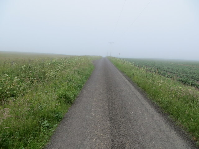
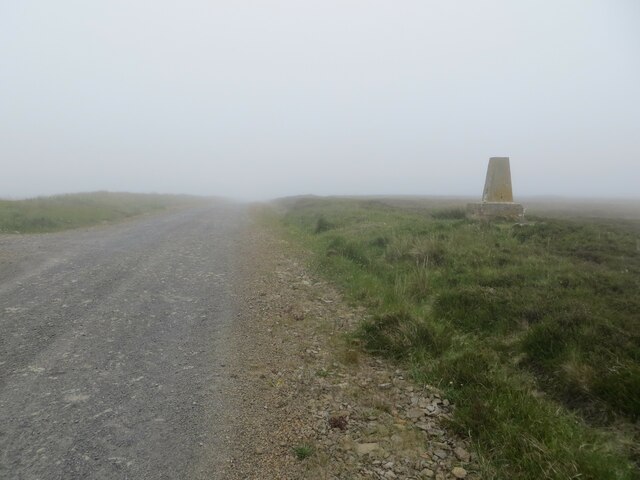
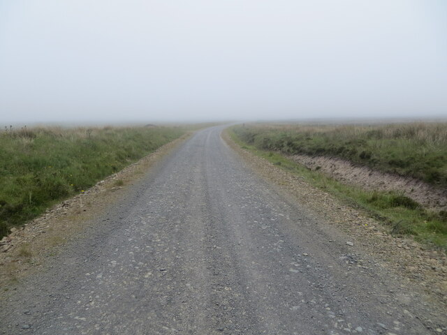
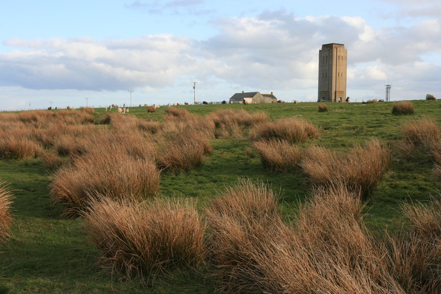
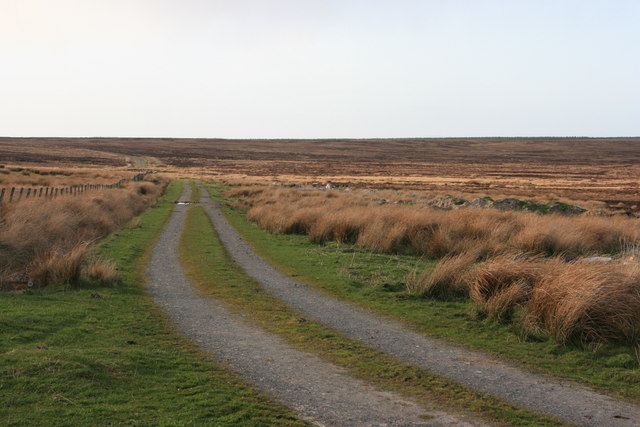
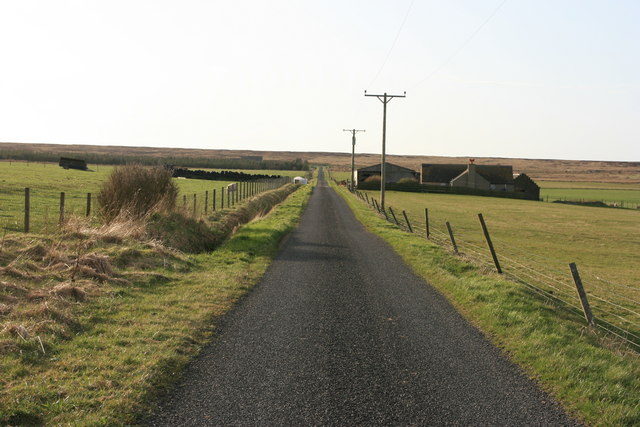
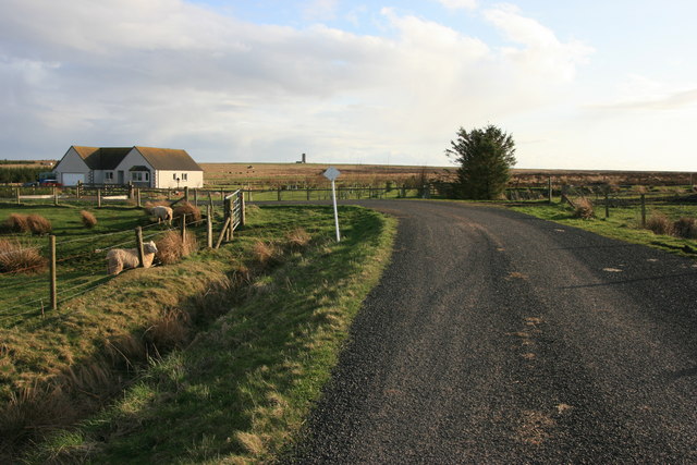
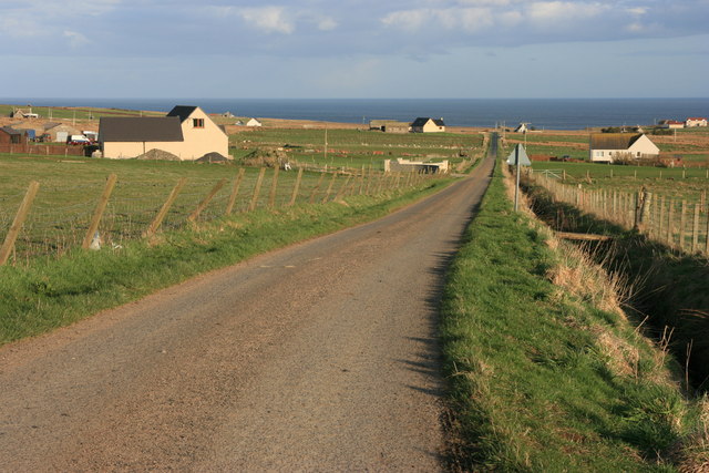
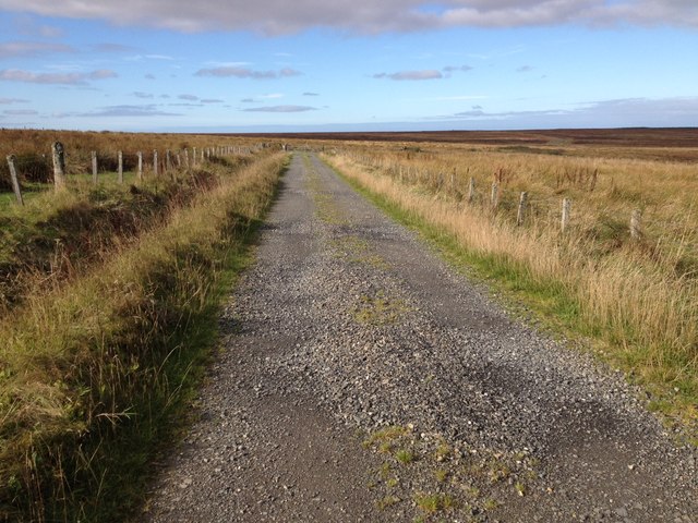
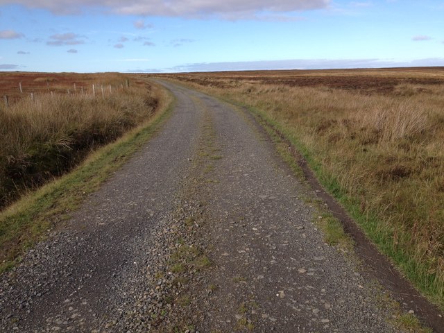
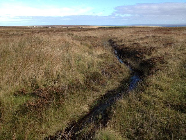
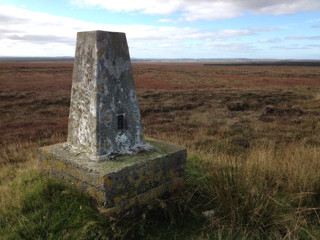
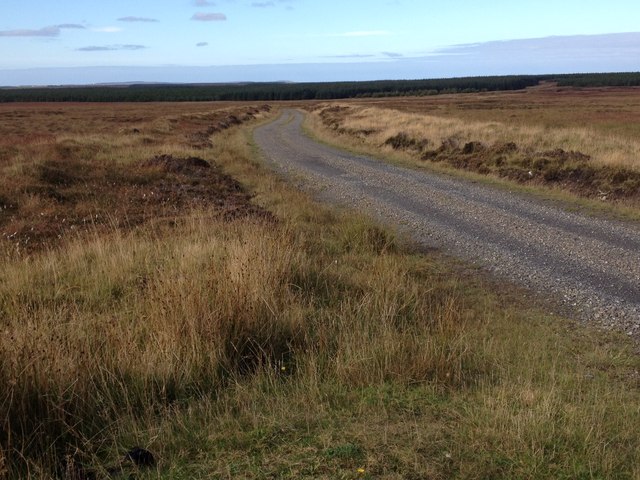
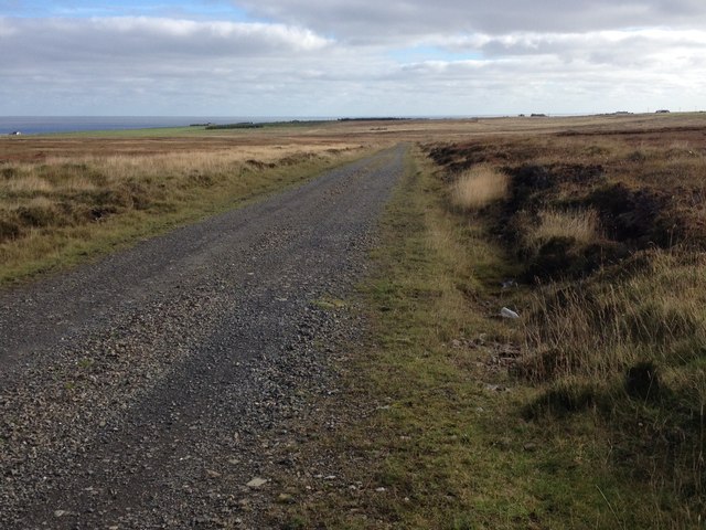
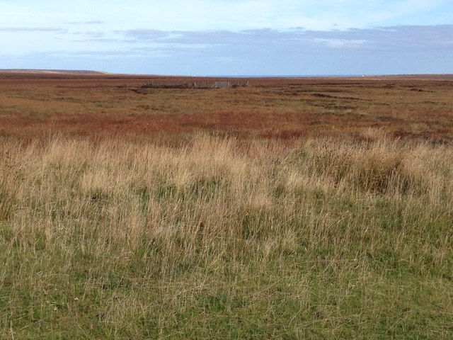
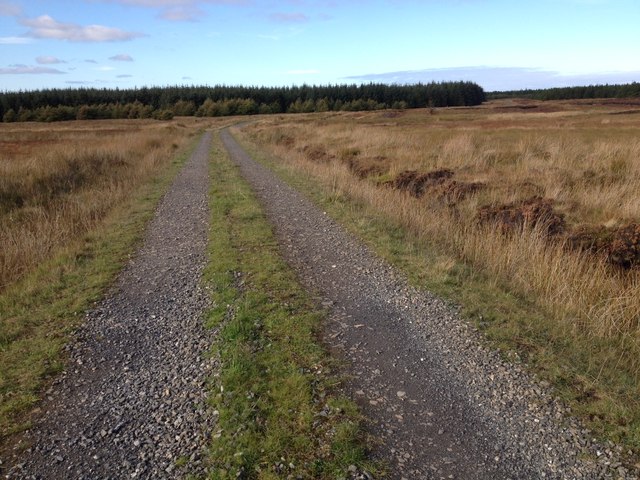
Loch of Auckingill Images
Images are sourced within 2km of 58.569966/-3.1172569 or Grid Reference ND3565. Thanks to Geograph Open Source API. All images are credited.

Loch of Auckingill is located at Grid Ref: ND3565 (Lat: 58.569966, Lng: -3.1172569)
Unitary Authority: Highland
Police Authority: Highlands and Islands
What 3 Words
///loose.financial.opts. Near John o' Groats, Highland
Nearby Locations
Related Wikis

Auckengill
Auckengill is a settlement, 6 miles (10 kilometres) south of John o' Groats, on the east coast of Caithness, within the Scottish council area of Highland...
Nybster
Nybster is a scattered rural and crofting township, situated in Caithness and is in the Scottish council area of Highland. It is located along the A9 road...

Freswick
Freswick ( FREZZ-ik) or Skirsa, is a small remote hamlet, overlooking Freswick Bay to the east, in eastern Caithness, Scottish Highlands and is in the...

Keiss Castle
Keiss Castle is a partially ruined castle in Scotland, which stands on sheer cliffs overlooking Sinclair's Bay less than one mile north of Keiss village...
Have you been to Loch of Auckingill?
Leave your review of Loch of Auckingill below (or comments, questions and feedback).