Loch Sarclet

Lake, Pool, Pond, Freshwater Marsh in Caithness

Scotland

Loch Sarclet

Hill of Ulbster It looks as if there are ex-military buildings on the top of the hill.
Hill of Ulbster Credit: Glen Breaden

Loch Sarclet, located in Caithness, Scotland, is a stunning freshwater loch nestled amidst the picturesque landscape. With an area of approximately 20 acres, this tranquil body of water offers a serene and peaceful setting for visitors to immerse themselves in nature's beauty.

Surrounded by rolling hills and lush greenery, Loch Sarclet is a place of great ecological significance, providing a habitat for a diverse range of flora and fauna. The loch's crystal-clear waters are home to various species of freshwater fish, including brown trout and perch, making it an ideal spot for anglers seeking a peaceful fishing experience.

The surrounding area of Loch Sarclet features a unique freshwater marsh ecosystem. This marshland, abundant with reeds and water-loving plants, serves as a breeding ground for numerous water birds, such as mallards, teal, and herons. Birdwatchers can delight in observing these magnificent creatures as they go about their daily activities.

The calm and reflective surface of the loch also attracts enthusiasts of water sports like kayaking and canoeing. The absence of motorized boats allows for a tranquil and undisturbed experience on the water, perfect for those seeking a peaceful escape.

For those who prefer to stay on land, Loch Sarclet offers numerous walking trails along its banks, providing breathtaking views of the surrounding countryside. Whether it's a leisurely stroll or a more challenging hike, visitors can enjoy the beauty of the loch from various vantage points.

In conclusion, Loch Sarclet in Caithness is a haven for nature enthusiasts, offering a diverse range of activities and a chance to appreciate the beauty of Scotland's natural landscape. Its calm waters, flourishing marshland, and scenic surroundings make it a must-visit destination for those seeking tranquility and a connection with nature.

If you have any feedback on the listing, please let us know in the comments section below.
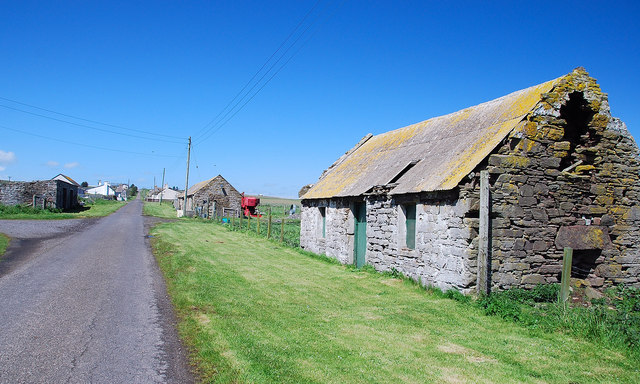
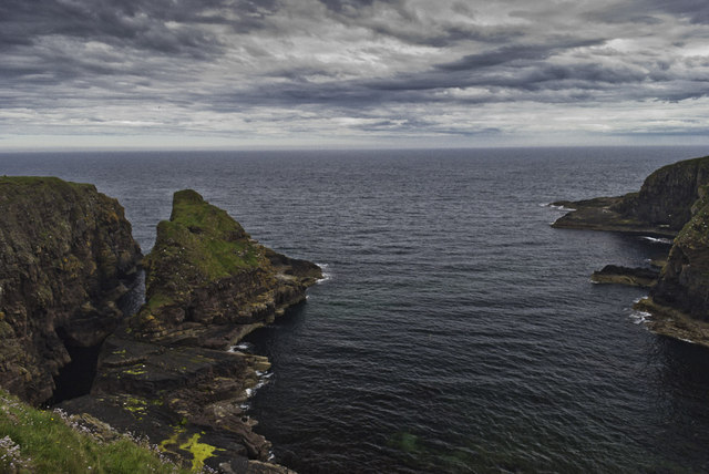
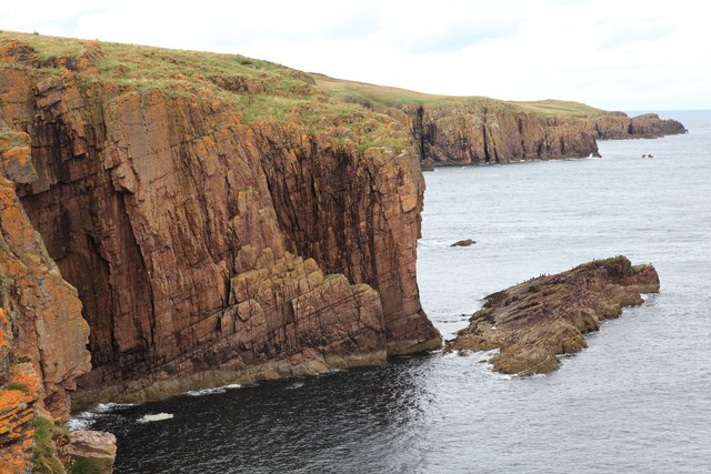
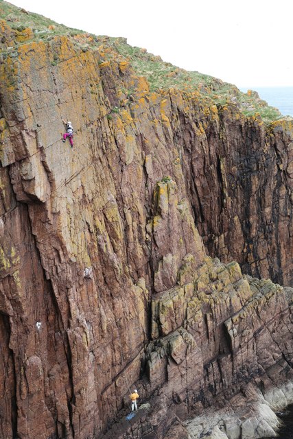
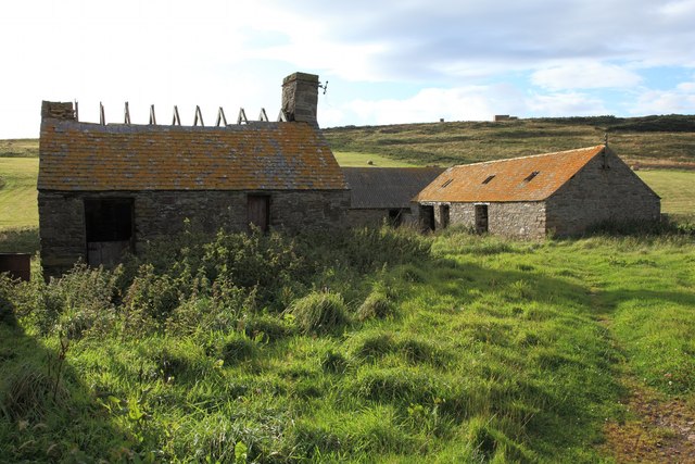
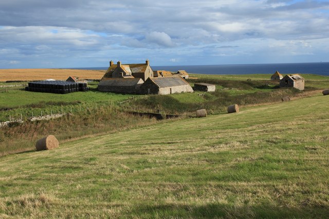
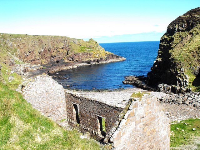
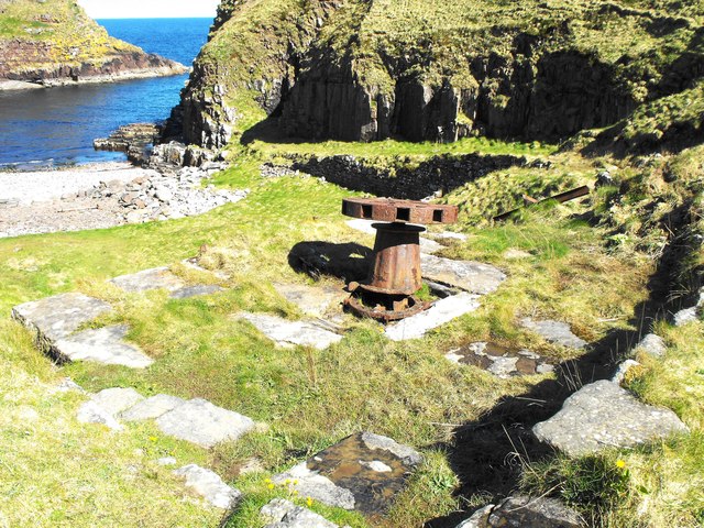
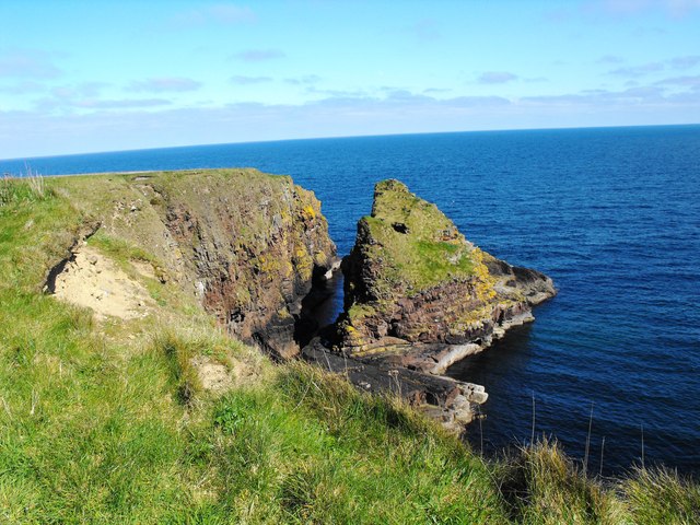
Loch Sarclet Images

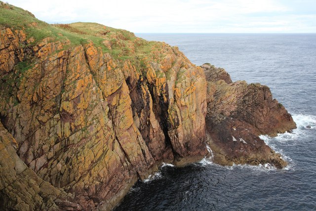
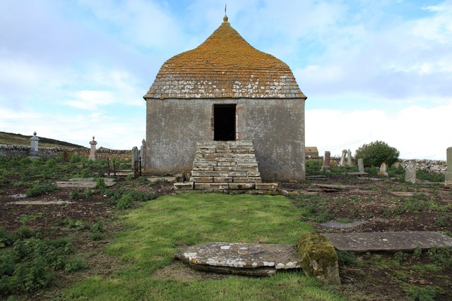
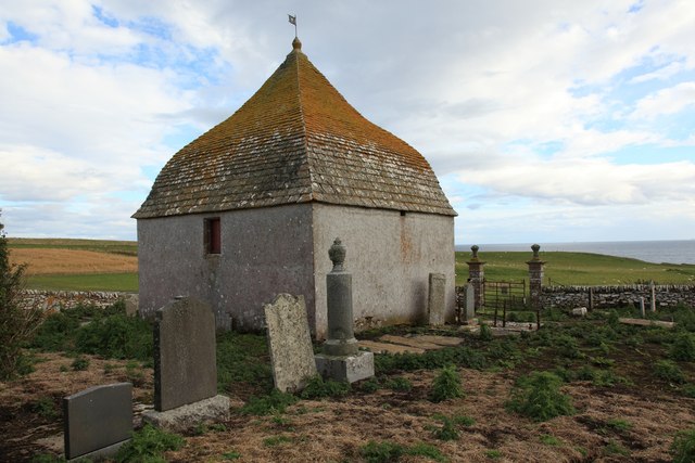
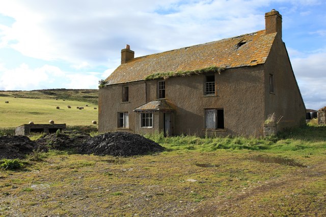
Images are sourced within 2km of 58.369699/-3.1251767 or Grid Reference ND3442. Thanks to Geograph Open Source API. All images are credited.

Hill of Ulbster It looks as if there are ex-military buildings on the top of the hill.
Hill of Ulbster
It looks as if there are ex-military buildings on the top of the hill.
Sarclet Main Street One of a few abandoned croft houses lining the street
Sarclet Main Street
One of a few abandoned croft houses lining the street
Former School Thrumster now has a new school just along the road.
Former School
Thrumster now has a new school just along the road.
The Haven and the Stack
Coastal Waterfall near Mains of Ulbster The stream which passes through the abandoned settlement at Mains of Ulbster flows over the cliff-top here.
Coastal Waterfall near Mains of Ulbster
The stream which passes through the abandoned settlement at Mains of Ulbster flows over the cliff-top here.
Cliffs near Ulbster
Cliffs near Ulbster
Cliffs south of Sarclet The photograph is taken from the cliffs by "Tilted Ledge" which is the southernmost point of the Sarclet climbing area.  Several climbs, such as <a href="https://www.geograph.org.uk/photo/2595758">ND3441 : Climbing at Sarclet</a> go up from near the high tide level through the clean flat cliff to the centre-left of the image.
Cliffs south of Sarclet
The photograph is taken from the cliffs by "Tilted Ledge" which is the southernmost point of the Sarclet climbing area. Several climbs, such as ND3441 : Climbing at Sarclet go up from near the high tide level through the clean flat cliff to the centre-left of the image.
Climbing at Sarclet The image shows the second ascent of this climb.  Later on this day a new route was put up to the right of this line.
Climbing at Sarclet
The image shows the second ascent of this climb. Later on this day a new route was put up to the right of this line.
Cliffs south of Tilted Ledge There are no climbs on these cliffs, although on the Tilted Ledge climbs are just around the corner from the right hand edge of the cliffs shown here.
Cliffs south of Tilted Ledge
There are no climbs on these cliffs, although on the Tilted Ledge climbs are just around the corner from the right hand edge of the cliffs shown here.
Sinclair Mausoleum at Mains of Ulbster
Sinclair Mausoleum and Ulbster Burial Ground The mausoleum is apparently built on the site of the earlier medieval St Martin's Chapel.  The mausoleum itself appears to be in a reasonable state of repair although the graveyard surrounding it is in a somewhat poorer state although it is gradually being tidied up.  The most recent burial, a Sinclair, appears to be 1974.

A sign on the entrance to the graveyard dated June 2010 says:

Ulbster Burial Ground:  The Tannach & District Community Council members are trying to make safer and improve access to the memorials in this burial ground.
As you can see we are at last making an impression on the grass and weeds.  Unfortunately this exposes the diggings of rabbits and bones are scattered widely as, due to the rocky nature of the ground, many of the graves are very shallow.  We hope that you understand that this will take some time to clear up and we are not being disrespectful by leaving it at present.  Several stones have been covered by undergrowth over the years and we hope to clear those and raise fallen stones where it is safe to do so.
Sinclair Mausoleum and Ulbster Burial Ground
The mausoleum is apparently built on the site of the earlier medieval St Martin's Chapel. The mausoleum itself appears to be in a reasonable state of repair although the graveyard surrounding it is in a somewhat poorer state although it is gradually being tidied up. The most recent burial, a Sinclair, appears to be 1974. A sign on the entrance to the graveyard dated June 2010 says: Ulbster Burial Ground: The Tannach & District Community Council members are trying to make safer and improve access to the memorials in this burial ground. As you can see we are at last making an impression on the grass and weeds. Unfortunately this exposes the diggings of rabbits and bones are scattered widely as, due to the rocky nature of the ground, many of the graves are very shallow. We hope that you understand that this will take some time to clear up and we are not being disrespectful by leaving it at present. Several stones have been covered by undergrowth over the years and we hope to clear those and raise fallen stones where it is safe to do so.
Abandoned house at the Mains Of Ulbster This appears to have been the last inhabited building, the main farmhouse, in the Mains of Ulbster.
Abandoned house at the Mains Of Ulbster
This appears to have been the last inhabited building, the main farmhouse, in the Mains of Ulbster.
Derelict Farm Buildings at Mains of Ulbster
Mains of Ulbster The image shows the abandoned and derelict farm buildings at Mains of Ulbster.  a stream runs to this side of the buildings.  A broken dam can be observed crossing the stream which then runs past a building, presumably a mill, before running to the cliff <a href="https://www.geograph.org.uk/photo/2595658">ND3341 : Coastal Waterfall near Mains of Ulbster</a>.

The land around the buildings is still farmed although the building themselves are no longer used.
Mains of Ulbster
The image shows the abandoned and derelict farm buildings at Mains of Ulbster. a stream runs to this side of the buildings. A broken dam can be observed crossing the stream which then runs past a building, presumably a mill, before running to the cliff ND3341 : Coastal Waterfall near Mains of Ulbster. The land around the buildings is still farmed although the building themselves are no longer used.
Sarclet Haven Once a busy herring fishing harbour
Sarclet Haven
Once a busy herring fishing harbour
Old Capstan The old capstan at Sarclet haven. Once used for hauling fishing boats ashore.
Old Capstan
The old capstan at Sarclet haven. Once used for hauling fishing boats ashore.
The Stack The Sea Stack at Sarclet Haven (Caladh Sharcleit)
The Stack
The Sea Stack at Sarclet Haven (Caladh Sharcleit)
Show me another place!

Loch Sarclet is located at Grid Ref: ND3442 (Lat: 58.369699, Lng: -3.1251767)

Unitary Authority: Highland

Police Authority: Highlands and Islands

What 3 Words

///musically.bunkers.sponge. Near Wick, Highland

Related Wikis

Sarclet

Sarclet is a remote clifftop crofting township, situated on the east coast of Caithness, lying slightly north of Loch Sarclet in the Scottish Highlands...

Welsh's Crossing Halt railway station

Welsh's Crossing Halt was a railway station located south of Thrumster, Highland between Wick and Lybster. == History == The station was opened as part...

Thrumster, Caithness

Thrumster is a crofting township on the main A99 road between Wick and Inverness. It is the nearest village to Wick. The transmission mast used to broadcast...

Thrumster railway station

Thrumster was a railway station located at Thrumster, Highland, Scotland between Wick and Lybster. The station building can still be seen alongside the...

Ulbster

Ulbster is a scattered crofting hamlet on the eastern coast of Caithness, within the parish of Wick, in the Scottish Highlands, within the Highland Council...

Whaligoe

Whaligoe is a small port in Caithness, in the Highland area of Scotland, which was prospected by Thomas Telford in 1786 during his tour of northern fishing...

Ulbster railway station

Ulbster was a railway station located at Ulbster, Highland, between Wick and Lybster. == History == The station was opened as part of the Wick and Lybster...

Bruan

Bruan (Scottish Gaelic:) is a small crofting hamlet on the east coast of Scotland in Lybster, Caithness, Highland and is in the Scottish council area of...

Have you been to Loch Sarclet?

Leave your review of Loch Sarclet below (or comments, questions and feedback).