Black Loch

Lake, Pool, Pond, Freshwater Marsh in Banffshire

Scotland

Black Loch

First Obstruction (1) We were warned before we set off from Balnellan that there were 20 or 30 trees down across the track. "I hope you're good at crawling", said our informant. We counted, and there were 40 trees lying across one short stretch of maybe 200 metres of the track, but none anywhere else. We were able to through and round them by making a couple of short detours, one where the trees had helpfully bent the barbed wire down so that we could easily step over it. Interestingly, the trees in the first obstruction had been blown north-eastwards, their tops lying on the left as we approached them, but those in the <a href="https://www.geograph.org.uk/photo/7098703">NJ3345 : Second Obstruction</a> had blown southwards, their tops lying to our right. We deduced that Storm Arwen, which came from the north, must have been responsible for the second obstruction, but that Barra, Corrie or Malik had created the first obstruction.
First Obstruction (1) Credit: Anne Burgess

Black Loch is a picturesque body of water located in the county of Banffshire, Scotland. Nestled amidst the enchanting landscape of the Cairngorms National Park, it is a popular destination for nature enthusiasts and those seeking tranquility. With a surface area of approximately 10 hectares, the loch has a maximum depth of 15 meters, making it a relatively small yet captivating freshwater feature.

Surrounded by lush greenery and rolling hills, Black Loch boasts stunning views that change with the seasons. During the summer months, the loch's surface glistens under the warm sunlight, reflecting the vibrant colors of the surrounding flora. In the autumn, the foliage transforms into a mosaic of reds, oranges, and yellows, creating a breathtaking backdrop against the still waters.

The loch is home to a diverse range of wildlife, both above and below the surface. Birdwatchers can spot various species of waterfowl, such as mallards, tufted ducks, and great crested grebes. The surrounding marshlands provide a habitat for numerous plants and animals, including reeds, rushes, and dragonflies.

Fishing is a popular activity at Black Loch, with anglers seeking the chance to catch brown trout, which thrive in the loch's nutrient-rich waters. The calm and peaceful ambiance of the loch also makes it an ideal spot for kayaking and canoeing, allowing visitors to explore its serene beauty at their own pace.

Whether it's a leisurely stroll along its shores, a day of fishing, or simply a moment of reflection amidst nature, Black Loch offers a captivating experience for all who visit.

If you have any feedback on the listing, please let us know in the comments section below.
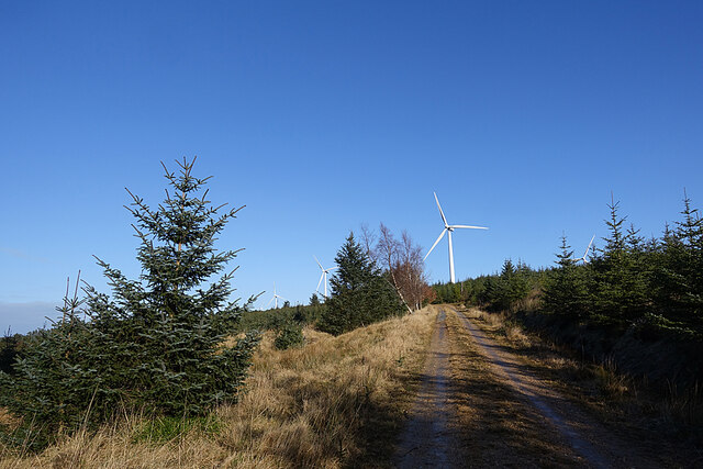
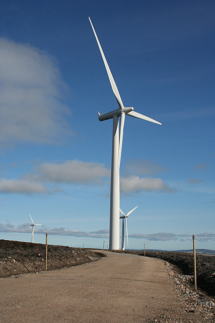
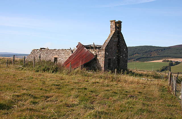
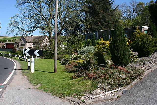
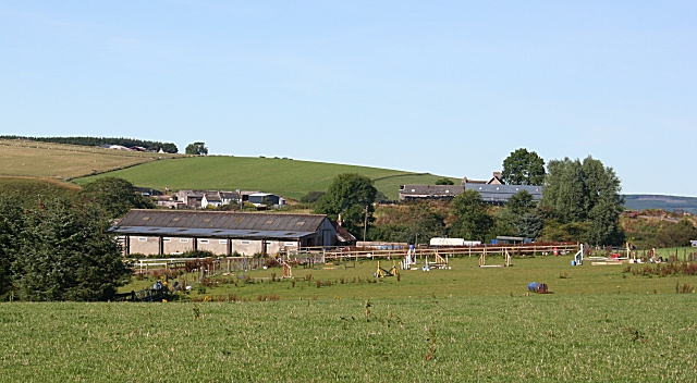
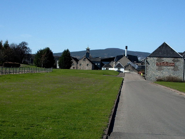
Black Loch Images

Images are sourced within 2km of 57.487895/-3.099251 or Grid Reference NJ3444. Thanks to Geograph Open Source API. All images are credited.

First Obstruction (1) We were warned before we set off from Balnellan that there were 20 or 30 trees down across the track. "I hope you're good at crawling", said our informant. We counted, and there were 40 trees lying across one short stretch of maybe 200 metres of the track, but none anywhere else. We were able to through and round them by making a couple of short detours, one where the trees had helpfully bent the barbed wire down so that we could easily step over it. Interestingly, the trees in the first obstruction had been blown north-eastwards, their tops lying on the left as we approached them, but those in the <a href="https://www.geograph.org.uk/photo/7098703">NJ3345 : Second Obstruction</a> had blown southwards, their tops lying to our right. We deduced that Storm Arwen, which came from the north, must have been responsible for the second obstruction, but that Barra, Corrie or Malik had created the first obstruction.
First Obstruction (1)
We were warned before we set off from Balnellan that there were 20 or 30 trees down across the track. "I hope you're good at crawling", said our informant. We counted, and there were 40 trees lying across one short stretch of maybe 200 metres of the track, but none anywhere else. We were able to through and round them by making a couple of short detours, one where the trees had helpfully bent the barbed wire down so that we could easily step over it. Interestingly, the trees in the first obstruction had been blown north-eastwards, their tops lying on the left as we approached them, but those in the NJ3345 : Second Obstruction had blown southwards, their tops lying to our right. We deduced that Storm Arwen, which came from the north, must have been responsible for the second obstruction, but that Barra, Corrie or Malik had created the first obstruction.
First Obstruction (2) We were warned before we set off from Balnellan that there were 20 or 30 trees down across the track. "I hope you're good at crawling", said our informant. We counted, and there were 40 trees lying across one short stretch of maybe 200 metres of the track, but none anywhere else. We were able to through and round them by making a couple of short detours, one where the trees had helpfully bent the barbed wire down so that we could easily step over it. Interestingly, the trees in the first obstruction had been blown north-eastwards, their tops lying on the left as we approached them, but those in the <a href="https://www.geograph.org.uk/photo/7098703">NJ3345 : Second Obstruction</a> had blown southwards, their tops lying to our right. We deduced that Storm Arwen, which came from the north, must have been responsible for the second obstruction, but that Barra, Corrie or Malik had created the first obstruction. This is looking back towards Balnellan.
First Obstruction (2)
We were warned before we set off from Balnellan that there were 20 or 30 trees down across the track. "I hope you're good at crawling", said our informant. We counted, and there were 40 trees lying across one short stretch of maybe 200 metres of the track, but none anywhere else. We were able to through and round them by making a couple of short detours, one where the trees had helpfully bent the barbed wire down so that we could easily step over it. Interestingly, the trees in the first obstruction had been blown north-eastwards, their tops lying on the left as we approached them, but those in the NJ3345 : Second Obstruction had blown southwards, their tops lying to our right. We deduced that Storm Arwen, which came from the north, must have been responsible for the second obstruction, but that Barra, Corrie or Malik had created the first obstruction. This is looking back towards Balnellan.
Second Obstruction We were warned before we set off from Balnellan that there were 20 or 30 trees down across the track. "I hope you're good at crawling", said our informant. We counted, and there were 40 trees lying across one short stretch of maybe 200 metres of the track, but none anywhere else. We were able to through and round them by making a couple of short detours, one where the trees had helpfully bent the barbed wire down so that we could easily step over it. Interestingly, the trees in the <a href="https://www.geograph.org.uk/photo/7098699">NJ3245 : First Obstruction (1)</a> and <a href="https://www.geograph.org.uk/photo/7098700">NJ3245 : First Obstruction (2)</a> had been blown north-eastwards, their tops lying on the left as we approached them, but those in this second obstruction had blown southwards, their tops lying to our right. We deduced that Storm Arwen, which came from the north, must have been responsible for the second obstruction, but that Barra, Corrie or Malik had created the first obstruction. Until we had to detour off the track to get round the fallen trees, we had no idea that this pond existed.
Second Obstruction
We were warned before we set off from Balnellan that there were 20 or 30 trees down across the track. "I hope you're good at crawling", said our informant. We counted, and there were 40 trees lying across one short stretch of maybe 200 metres of the track, but none anywhere else. We were able to through and round them by making a couple of short detours, one where the trees had helpfully bent the barbed wire down so that we could easily step over it. Interestingly, the trees in the NJ3245 : First Obstruction (1) and NJ3245 : First Obstruction (2) had been blown north-eastwards, their tops lying on the left as we approached them, but those in this second obstruction had blown southwards, their tops lying to our right. We deduced that Storm Arwen, which came from the north, must have been responsible for the second obstruction, but that Barra, Corrie or Malik had created the first obstruction. Until we had to detour off the track to get round the fallen trees, we had no idea that this pond existed.
Greenhill The ruin hasn't changed much since I first photographed it 11 years ago. Quite surprising, as it must have been very exposed to Storm Arwen last autumn.
Greenhill
The ruin hasn't changed much since I first photographed it 11 years ago. Quite surprising, as it must have been very exposed to Storm Arwen last autumn.
Hill of Towie Wind Farm You would hardly believe that only a few minutes before I took this we were plodding doggedly into the teeth of a hailstorm in a near whiteout. Fortunately it only lasted about ten or fifteen minutes. My companion's dog had the worst of it, with the hail in his eyes; we were able to pull up our hoods and look down to the ground.
Hill of Towie Wind Farm
You would hardly believe that only a few minutes before I took this we were plodding doggedly into the teeth of a hailstorm in a near whiteout. Fortunately it only lasted about ten or fifteen minutes. My companion's dog had the worst of it, with the hail in his eyes; we were able to pull up our hoods and look down to the ground.
Forest Track This track runs more or less along the contour line on the north slope of Knockan. It offers fine views across the glen to Ben Aigen.
Forest Track
This track runs more or less along the contour line on the north slope of Knockan. It offers fine views across the glen to Ben Aigen.
Pond near Shians We only discovered the existence of this pond because we had to make a detour off the track to get round the <a href="https://www.geograph.org.uk/photo/7098703">NJ3345 : Second Obstruction</a> caused by trees blown down by Storm Arwen.
Pond near Shians
We only discovered the existence of this pond because we had to make a detour off the track to get round the NJ3345 : Second Obstruction caused by trees blown down by Storm Arwen.
Forest Access The piles of logs, and the muddy access, indicate that this forest is being harvested.
Forest Access
The piles of logs, and the muddy access, indicate that this forest is being harvested.
Burn of Knockan The burn occupies the nearer dip; the tall trees are on this side of it. The next dip is the course of the Burn of Blackstank, which joins the Burn of Knockan just to the right of this view. The farm in the distance is Tombain, and the ruin is Starhead, both in the next square.
Burn of Knockan
The burn occupies the nearer dip; the tall trees are on this side of it. The next dip is the course of the Burn of Blackstank, which joins the Burn of Knockan just to the right of this view. The farm in the distance is Tombain, and the ruin is Starhead, both in the next square.
Forest Edge Part of the forest above Knockan Farm has been felled, making it easier to walk. The wind turbine belongs to the Drummuir wind farm.
Forest Edge
Part of the forest above Knockan Farm has been felled, making it easier to walk. The wind turbine belongs to the Drummuir wind farm.
Drummuir Wind Farm Built in the teeth of local opposition, the wind farm on and to the east of Knockan has over 20 turbines, and miles of well-made roads which at least make walking easier. There's also a path linking the wind farm with the forest road on the north slope of Knockan.
Drummuir Wind Farm
Built in the teeth of local opposition, the wind farm on and to the east of Knockan has over 20 turbines, and miles of well-made roads which at least make walking easier. There's also a path linking the wind farm with the forest road on the north slope of Knockan.
You Scratch My Back and I'll Scratch Yours The pair on the right are being as good as the word above, but the others were minding their own business. Knockan Farm is hidden by the trees on the left.
You Scratch My Back and I'll Scratch Yours
The pair on the right are being as good as the word above, but the others were minding their own business. Knockan Farm is hidden by the trees on the left.
Starhead Once a small farm, but now just a few crumbling walls. I think this was probably the steading. The 1872 six-inch Ordnance Survey map shows three buildings here.
Starhead
Once a small farm, but now just a few crumbling walls. I think this was probably the steading. The 1872 six-inch Ordnance Survey map shows three buildings here.
Near Tombain The nearer field is barley, and there are sheep in the next one. Ben Aigan is on the skyline.
Near Tombain
The nearer field is barley, and there are sheep in the next one. Ben Aigan is on the skyline.
Starhead Once a small farm, but now just a few crumbling walls. I think this was probably the steading. The 1872 six-inch Ordnance Survey map shows three buildings here.
Starhead
Once a small farm, but now just a few crumbling walls. I think this was probably the steading. The 1872 six-inch Ordnance Survey map shows three buildings here.
Minor road near Gibsmuir Looking south-westward.
Minor road near Gibsmuir
Looking south-westward.
Minor road near Gibsmuir Look north-eastward.
Minor road near Gibsmuir
Look north-eastward.
Show me another place!

Black Loch is located at Grid Ref: NJ3444 (Lat: 57.487895, Lng: -3.099251)

Unitary Authority: Moray

Police Authority: North East

What 3 Words

///trouble.suggested.skill. Near Dufftown, Moray

Nearby Locations

Black Loch

Related Wikis

Banffshire

Banffshire (; Scots: Coontie o Banffshire; Scottish Gaelic: Siorrachd Bhanbh) is a historic county, registration county and lieutenancy area of Scotland...

Drummuir Curlers' Platform railway station

Drummuir Curlers' Platform railway station was a private station opened on the Keith and Dufftown Railway for the use of the curlers belonging to the Drummuir...

Maggieknockater

Maggieknockater (Scottish Gaelic: Magh an Fhùcadair, meaning "field of the fuller" or "plain of the hilly ridge") is a hamlet on the A95 road between Craigellachie...

Kininvie distillery

Kininvie distillery located in Dufftown, Moray, Scotland produces single malt Scotch whisky. The distillery is owned by William Grant & Sons and the product...

Boharm

Boharm is a rural parish in the Speyside area of north Scotland, midway between Aberlour and Fochabers, and north of Dufftown. It lies on minor roads to...

Gauldwell Castle

Gauldwell Castle was a 13th-century castle, about 3.5 miles (5.6 km) north-west of Dufftown, Moray, Scotland, north of the River Fiddich. Alternative names...

Drummuir railway station

Drummuir railway station is a preserved station that serves the village of Drummuir, Moray, Scotland on the Keith and Dufftown Railway. The station also...

Balvenie distillery

Balvenie distillery is a Speyside single malt Scotch whisky distillery in Dufftown, Scotland, owned by William Grant & Sons. == History == William Grant...

Nearby Amenities

Located within 500m of 57.487895,-3.099251
Greenhill
Ele: 337
Natural: peak
Lat/Long: 57.4913562/-3.1029948
The data included in this document is from www.openstreetmap.org. The data is made available under ODbL.

Have you been to Black Loch?

Leave your review of Black Loch below (or comments, questions and feedback).