The Ewe

Lake, Pool, Pond, Freshwater Marsh in Morayshire

Scotland

The Ewe

I'm telling you it's Spring!! Scooby bursts from the daffodils by the banks of the Spey.
I'm telling you it's Spring!! Credit: Des Colhoun

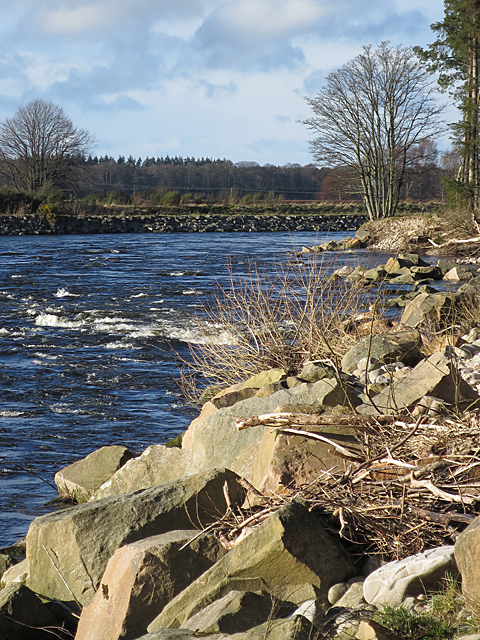
The Ewe, located in Morayshire, Scotland, is a picturesque freshwater marsh encompassing a lake, pool, and pond. Spanning an area of approximately 100 acres, this natural habitat offers a diverse range of flora and fauna, making it a popular destination for nature enthusiasts and birdwatchers alike.

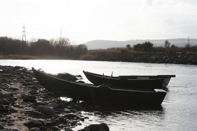
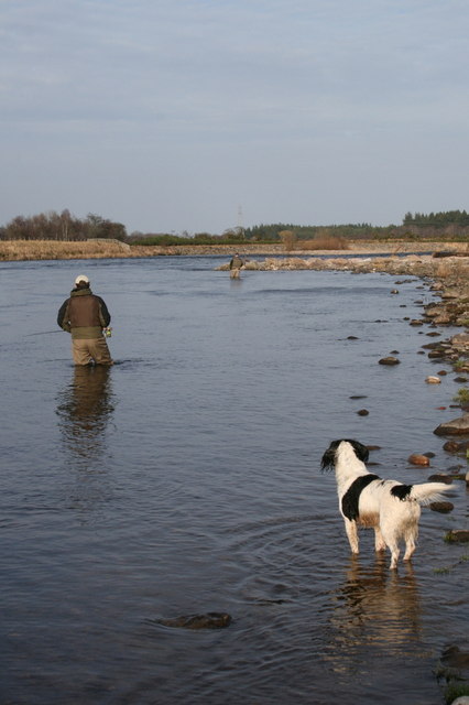
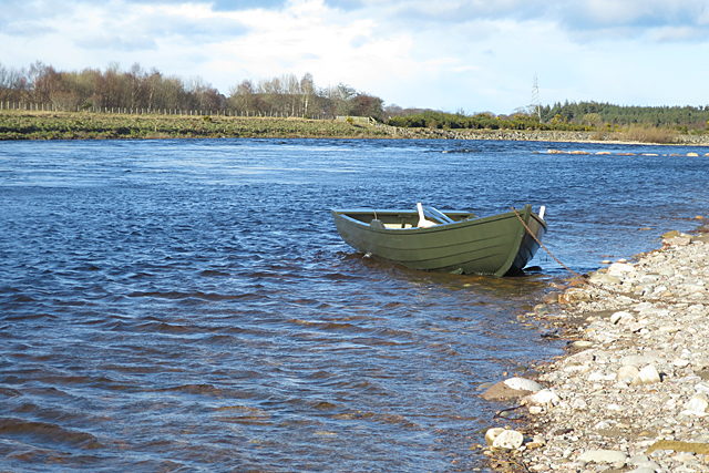
The Ewe's lake, fed by freshwater springs, stands as the focal point of the marsh. With its crystal-clear waters and tranquil surroundings, it provides a serene setting for visitors to relax and appreciate the natural beauty of the area. The lake is home to various species of fish, such as brown trout and perch, making it a haven for anglers seeking a peaceful fishing experience.

Adjacent to the lake, a smaller pool can be found. This pool serves as a nesting site for waterfowl, including ducks and geese. It is not uncommon to witness the sight of adorable ducklings or goslings paddling alongside their parents. The pool's shallow depth and abundance of aquatic vegetation make it a favorable environment for these water-loving birds.

Further into the marsh, a tranquil pond can be discovered. Surrounded by lush vegetation, this pond provides a habitat for various amphibians, such as frogs and newts. It is also frequented by dragonflies and damselflies, which gracefully flit above the water's surface.

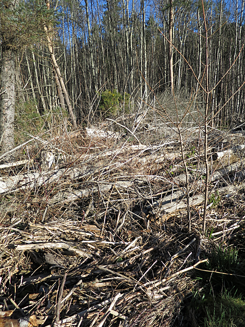
The Ewe's freshwater marsh is a vital ecosystem, supporting a rich array of plant life. From reeds and sedges to water lilies and marsh marigolds, the marshland is a vibrant tapestry of colors and textures. This diverse plant life attracts a multitude of insects and butterflies, creating a thriving ecosystem.

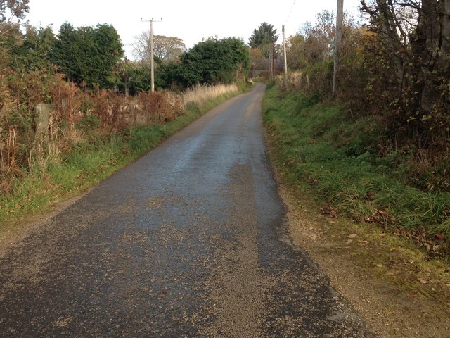
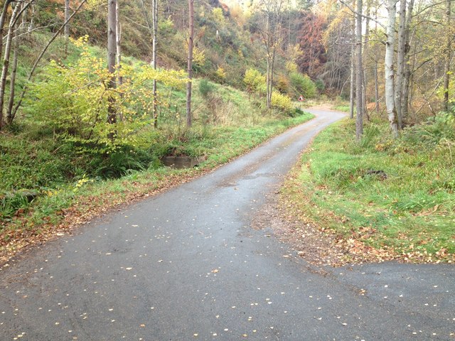
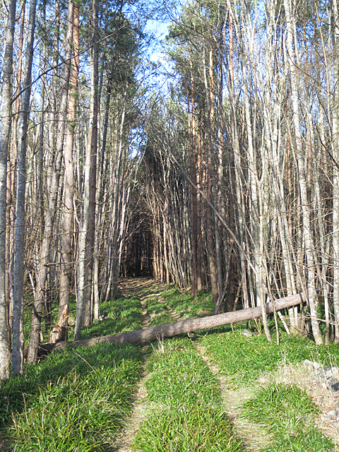
Visitors to The Ewe can explore the marsh via a network of well-maintained footpaths, allowing them to appreciate the wonders of this unique and biodiverse habitat. Whether it be birdwatching, fishing, or simply immersing oneself in nature's beauty, The Ewe provides an idyllic setting

If you have any feedback on the listing, please let us know in the comments section below.
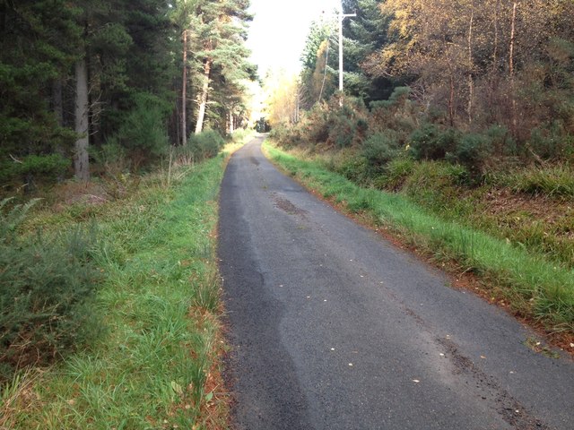
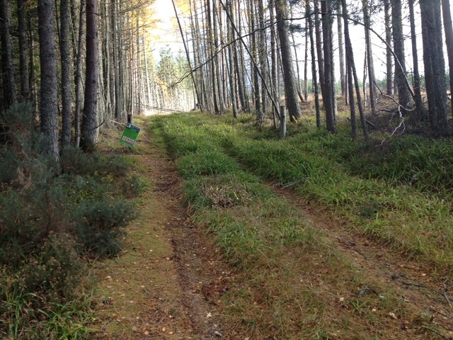
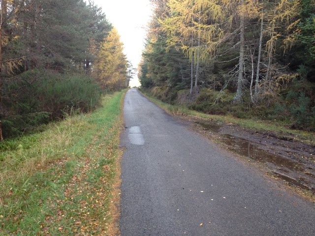
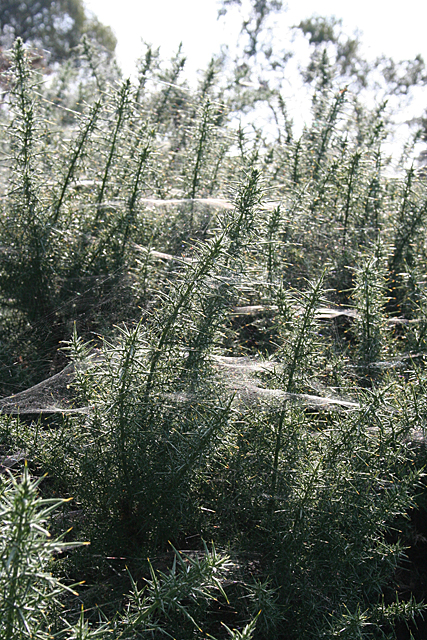
The Ewe Images

Images are sourced within 2km of 57.585195/-3.1192616 or Grid Reference NJ3355. Thanks to Geograph Open Source API. All images are credited.

I'm telling you it's Spring!! Scooby bursts from the daffodils by the banks of the Spey.
I'm telling you it's Spring!!
Scooby bursts from the daffodils by the banks of the Spey.
The lane leading to Beat 4 of the "Brae Water" The trees and grasses by Ordiquish await the arrival of Spring: it's just around the corner.
The lane leading to Beat 4 of the "Brae Water"
The trees and grasses by Ordiquish await the arrival of Spring: it's just around the corner.
The waters leading into Lower Allt Dearg It's the 11th of February today, the first day of the 2013 salmon fishing season on the mighty River Spey. Note the red sandstone river bank to the left in the distance.
The waters leading into Lower Allt Dearg
It's the 11th of February today, the first day of the 2013 salmon fishing season on the mighty River Spey. Note the red sandstone river bank to the left in the distance.
Opening day on the Brae Water beat Four The salmon fishing season on the Spey starts today and there's been a good turn out of anglers on the Brae Water beats. Springtime fishing is not for the faint-hearted generally offering limb crippling water temperatures and a dearth of fish. These are typical Spey fishing boats which you see here in the Lower Allt Dearg pool of Beat Four.
Opening day on the Brae Water beat Four
The salmon fishing season on the Spey starts today and there's been a good turn out of anglers on the Brae Water beats. Springtime fishing is not for the faint-hearted generally offering limb crippling water temperatures and a dearth of fish. These are typical Spey fishing boats which you see here in the Lower Allt Dearg pool of Beat Four.
Spey boats lying in Lower Allt Dearg The boats are used not only to transport fishers to the other bank but offer a platform for the aged or infirm who can fish from them whilst seated while the ghillie feeds the boat downstream on an anchored rope.
Spey boats lying in Lower Allt Dearg
The boats are used not only to transport fishers to the other bank but offer a platform for the aged or infirm who can fish from them whilst seated while the ghillie feeds the boat downstream on an anchored rope.
Anything doing? Not yet. It's been a strange opening day on Beat 4. There was not a single fish spotted and fishing with a brass tube fly on a sinking tip there's not a lot the angler can try next.
Anything doing?
Not yet. It's been a strange opening day on Beat 4. There was not a single fish spotted and fishing with a brass tube fly on a sinking tip there's not a lot the angler can try next.
Minor road near Ordiquish
Track into Wood of Ordiequish
Minor road near Cairnty
Spiders' Webs Interesting to see that all the webs in this whin bush are horizontal. I wonder what species of spider has spun them?
Spiders' Webs
Interesting to see that all the webs in this whin bush are horizontal. I wonder what species of spider has spun them?
River Spey at Ordiequish A little way downstream of the Earth Pillars, looking downstream to the meander.
River Spey at Ordiequish
A little way downstream of the Earth Pillars, looking downstream to the meander.
Angling Management The large boulders have been placed along the bank of the river to inhibit erosion and improve the fishing by creating more lies for the salmon.
Angling Management
The large boulders have been placed along the bank of the river to inhibit erosion and improve the fishing by creating more lies for the salmon.
How did they get there? There is a substantial pile-up of tree trunks on the right bank of the Spey at Ordiequish. I can't decide whether I think they were put there (and if so why, how and by whom?) or whether they have been washed in and dumped by a spate (in which case why are they all neatly parallel?) The brushwood at the bottom of the photo has clearly been washed in the last time the river overtopped the bank.
How did they get there?
There is a substantial pile-up of tree trunks on the right bank of the Spey at Ordiequish. I can't decide whether I think they were put there (and if so why, how and by whom?) or whether they have been washed in and dumped by a spate (in which case why are they all neatly parallel?) The brushwood at the bottom of the photo has clearly been washed in the last time the river overtopped the bank.
Obstruction on the Track It's some time since this tree fell across the track to the river bank, but as yet no attempt has been made to clear it. It doesn't matter if you're on foot, but if anyone wants to get a vehicle in it would be a problem.
Obstruction on the Track
It's some time since this tree fell across the track to the river bank, but as yet no attempt has been made to clear it. It doesn't matter if you're on foot, but if anyone wants to get a vehicle in it would be a problem.
Artificial Groyne If you thought these stones didn't look natural, you're right. They have been placed here as part of the management of the river for angling, though the water level will need to be a foot or so higher if they are going to do any good. There's a fishing hut among the trees to the left of the end of the groyne, where the short grass comes down to the edge of the river shingle. It doesn't show up well because it's in the shade, and it was too windy to sit and wait for the sun to come round and illuminate it.
Artificial Groyne
If you thought these stones didn't look natural, you're right. They have been placed here as part of the management of the river for angling, though the water level will need to be a foot or so higher if they are going to do any good. There's a fishing hut among the trees to the left of the end of the groyne, where the short grass comes down to the edge of the river shingle. It doesn't show up well because it's in the shade, and it was too windy to sit and wait for the sun to come round and illuminate it.
Fishing Coble This boat is similar to the boats used by the crews who used to net salmon in the lower reaches of the river, but perhaps a little smaller. It is provided for use by anglers. See <a href="https://www.geograph.org.uk/photo/3329039">NJ3357 : Spey boats lying in Lower Allt Dearg</a>.
Fishing Coble
This boat is similar to the boats used by the crews who used to net salmon in the lower reaches of the river, but perhaps a little smaller. It is provided for use by anglers. See NJ3357 : Spey boats lying in Lower Allt Dearg.
Show me another place!

The Ewe is located at Grid Ref: NJ3355 (Lat: 57.585195, Lng: -3.1192616)

Unitary Authority: Moray

Police Authority: North East

What 3 Words

///skate.writers.shiver. Near Fochabers, Moray

Nearby Locations

Lower March The Ewe

Related Wikis

Dipple, Moray

Dipple (Scottish Gaelic: Diopal) is a village in the Parish of Speymouth, in Moray, Scotland, approximately 8 miles (13 km) east of Elgin and is located...

Milne's High School

Milne's High School is a secondary school in Fochabers, Moray, Scotland. The school's feeder primaries are Milne's Primary School, Lhanbryde Primary School...
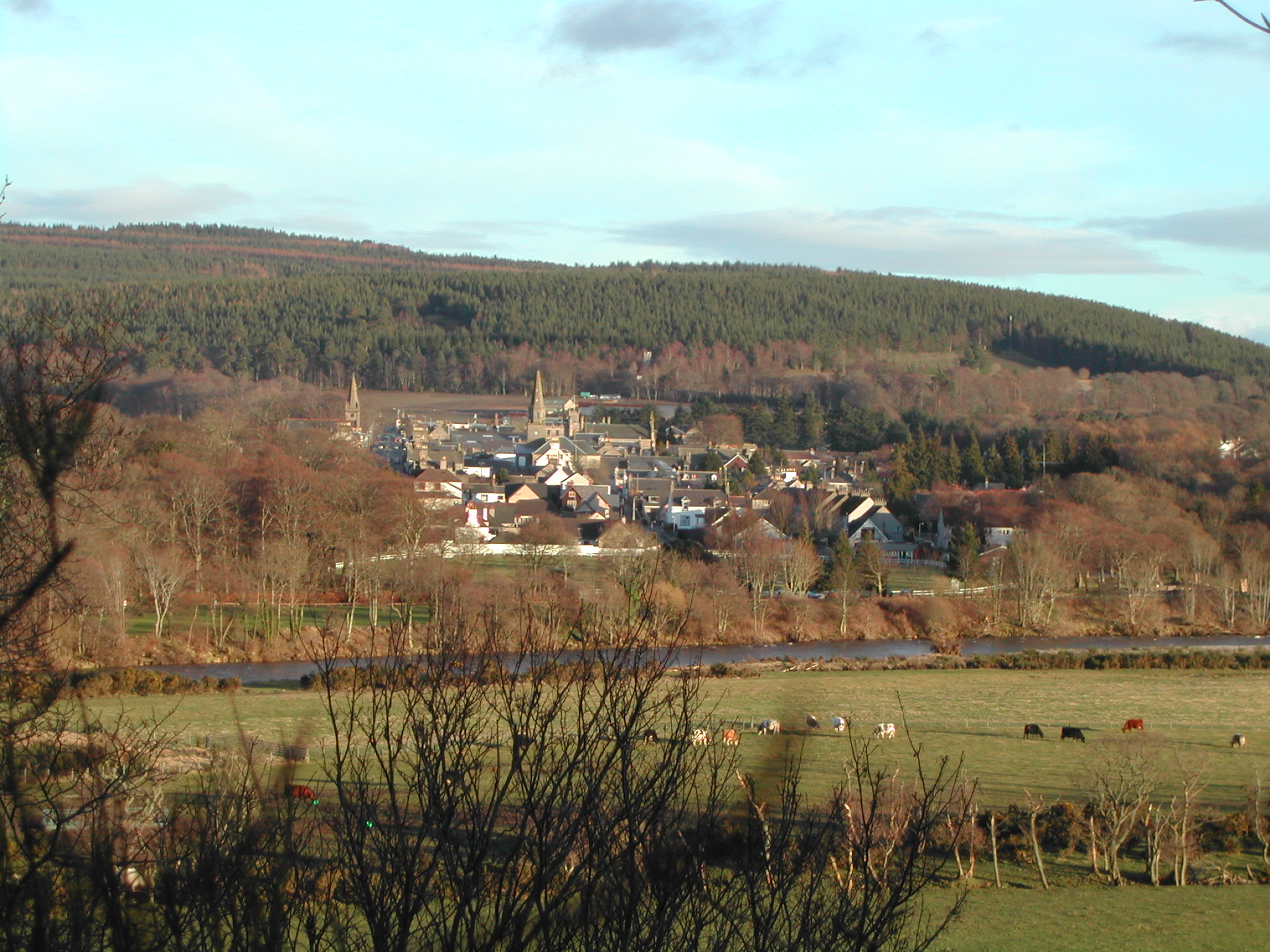
Fochabers

Fochabers (; Scottish Gaelic: Fachabair or Fothabair) is a village in the Parish of Bellie, in Moray, Scotland, 10 miles (16 km) east of the cathedral...

Orton railway station

Orton railway station served the estate of Orton, Moray, Scotland from 1858 to 1985 on the Inverness and London Junction Railway. == History == The station...

St Mary's, Fochabers

St Mary's, Fochabers is a Roman Catholic church in the village of Fochabers, Moray, in Scotland and is a part of the RC Diocese of Aberdeen. The building...

Bellie Kirk

Bellie Kirk is a Georgian church of neoclassical design in Fochabers, Scotland, built in 1798 for the 4th Duke of Gordon. It has been in continuous use...
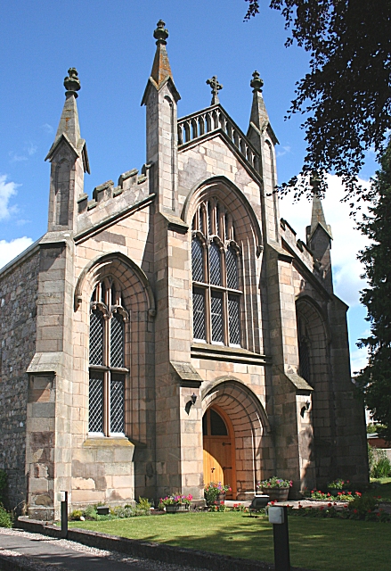
Gordon Chapel

Gordon Chapel is a nineteenth century church in Fochabers, Scotland. It is part of the Scottish Episcopal Church, under the governance of the United Diocese...

Orbliston Junction railway station

Orbliston Junction railway station served the settlement of Orbliston, Moray, Scotland from 1858 to 1964 on the Inverness and Aberdeen Junction Railway...

Related Videos

EARTH PILLARS AT ORDIEQUISH our photo diary - (Scotland)

EARTH PILLARS AT ORDIEQUISH our photo diary - (Scotland) This lovely wood is a maze of old paths and tracks. Follow the trail ...

NEAR HOME AT THE EARTH PILLARS - (Scotland)

NEAR HOME AT THE EARTH PILLARS - (Scotland) This lovely wood is a maze of old paths and tracks. Follow the trail through ...

Amy & Danny | Elgin Museum | Inchberry Hall | Elgin

May the 4th weddings are usually a bit different and Amy & Danny's big day didn't disappoint! #fochabers.

Nearby Amenities

Located within 500m of 57.585195,-3.1192616
Power: pole
Lat/Long: 57.5821413/-3.1137167
Power: pole
Lat/Long: 57.582592/-3.1138949
Power: pole
Lat/Long: 57.5834608/-3.1141639
Power: pole
Lat/Long: 57.5838493/-3.1142093
Power: pole
Lat/Long: 57.5849245/-3.1142009
Power: pole
Lat/Long: 57.585778/-3.114179
Power: pole
Lat/Long: 57.5867675/-3.1134292
Power: pole
Lat/Long: 57.587356/-3.112839
The data included in this document is from www.openstreetmap.org. The data is made available under ODbL.

Have you been to The Ewe?

Leave your review of The Ewe below (or comments, questions and feedback).