Gladhouse Reservoir

Lake, Pool, Pond, Freshwater Marsh in Midlothian

Scotland

Gladhouse Reservoir

Dam at Gladhouse Reservoir The reservoir was created by damming the South Esk and completed in 1879 as a water supply for Edinburgh.
Dam at Gladhouse Reservoir Credit: Jim Barton

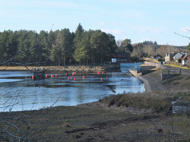
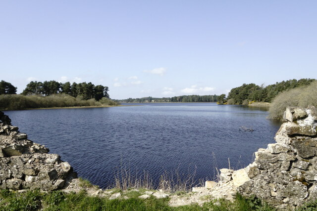
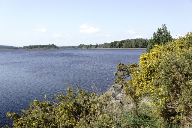
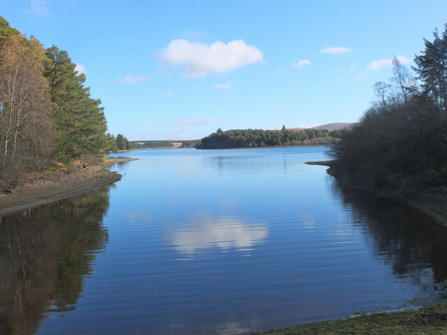
Gladhouse Reservoir is a man-made freshwater reservoir located in Midlothian, Scotland. It is situated in the Pentland Hills Regional Park, approximately 20 kilometers south of Edinburgh. The reservoir was constructed in the 19th century to supply drinking water to the city of Edinburgh and is still used for this purpose today.

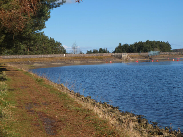
Covering an area of approximately 120 hectares, Gladhouse Reservoir is a popular recreational spot for both locals and tourists. The reservoir offers a range of activities such as fishing, sailing, and kayaking. It is known for its abundant fish population, including brown trout, rainbow trout, and perch, making it a favorite destination for anglers.

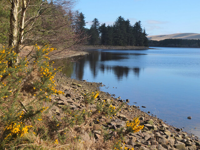
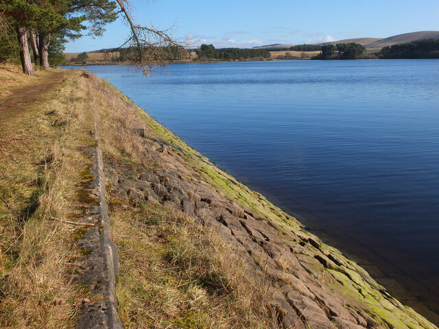
Surrounded by picturesque hills and woodlands, Gladhouse Reservoir provides stunning views and peaceful surroundings. Its tranquil waters attract various bird species, making it a great spot for birdwatching. Visitors may spot birds such as swans, ducks, and herons.

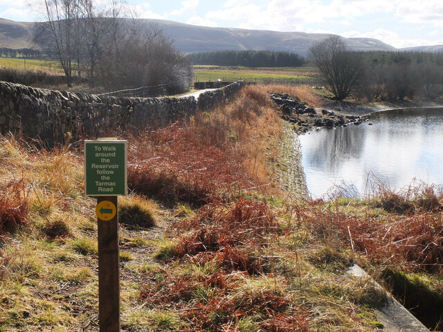
The reservoir is also home to a diverse range of plant life. The surrounding marshes and wetlands support a variety of flora, including reeds, rushes, and water lilies. These habitats provide shelter and food for numerous animal species, creating a thriving ecosystem.

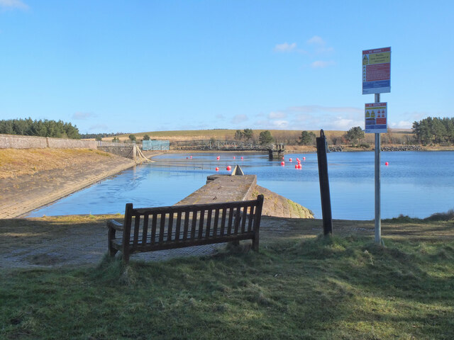
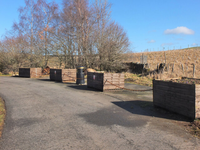
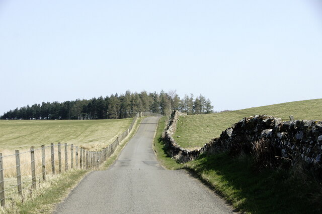
Access to Gladhouse Reservoir is provided by a car park and a network of footpaths, allowing visitors to explore the area on foot. The reservoir is managed by Scottish Water, who ensure its preservation and maintenance for future generations to enjoy.

If you have any feedback on the listing, please let us know in the comments section below.

Gladhouse Reservoir Images

Images are sourced within 2km of 55.770713/-3.1201434 or Grid Reference NT2953. Thanks to Geograph Open Source API. All images are credited.

Dam at Gladhouse Reservoir The reservoir was created by damming the South Esk and completed in 1879 as a water supply for Edinburgh.
Dam at Gladhouse Reservoir
The reservoir was created by damming the South Esk and completed in 1879 as a water supply for Edinburgh.
Northern arm of Gladhouse Reservoir The dam and bridge to the outlet tower seen from the shore near Gladhouse.
Northern arm of Gladhouse Reservoir
The dam and bridge to the outlet tower seen from the shore near Gladhouse.
Spillway and outlet, Gladhouse Reservoir The spillway is in the foreground, currently dry.
Spillway and outlet, Gladhouse Reservoir
The spillway is in the foreground, currently dry.
Walk signpost, Gladhouse Reservoir The walk around the reservoir follows the shore on the west and north sides, but here takes to the minor road to Mauldslie and field tracks to Moorfoot to complete the circuit.
Walk signpost, Gladhouse Reservoir
The walk around the reservoir follows the shore on the west and north sides, but here takes to the minor road to Mauldslie and field tracks to Moorfoot to complete the circuit.
Blocked lay-by, Gladhouse Reservoir Parking around Gladhouse has been reduced over the years - this lay-by was on the public road to Mauldslie on the east side of the reservoir.
Blocked lay-by, Gladhouse Reservoir
Parking around Gladhouse has been reduced over the years - this lay-by was on the public road to Mauldslie on the east side of the reservoir.
Minor road to Mauldslie A public road that ends at Mauldslie farm.
Minor road to Mauldslie
A public road that ends at Mauldslie farm.
Path past Mauldslie This short stretch of path has been signposted alongside the access track to the farmhouse. The circular walk around Gladhouse Reservoir continues SSW on a signposted field track to Huntly Cot.
Path past Mauldslie
This short stretch of path has been signposted alongside the access track to the farmhouse. The circular walk around Gladhouse Reservoir continues SSW on a signposted field track to Huntly Cot.
Field path between fences The left-hand fence encloses part of a deer farm.
Field path between fences
The left-hand fence encloses part of a deer farm.
Road near Gladhouse Reservoir
Mauldslie, near Gladhouse Reservoir
Gladhouse Reservoir
Gladhouse Reservoir
Gladhouse Reservoir
Gladhouse Reservoir
Parking area, Gladhouse Reservoir A rather muddy lay-by near Gladhouse Reservoir on the access road to Moorfoot farm, with the escarpment of the Moorfoot Hills beyond.
Parking area, Gladhouse Reservoir
A rather muddy lay-by near Gladhouse Reservoir on the access road to Moorfoot farm, with the escarpment of the Moorfoot Hills beyond.
Aqueduct for Gladhouse Reservoir A straight concrete-lined channel taking water to the west end of the reservoir.
Aqueduct for Gladhouse Reservoir
A straight concrete-lined channel taking water to the west end of the reservoir.
Aqueduct for Gladhouse Reservoir (2) Further downstream along the channel shown in <a href="https://www.geograph.org.uk/photo/7112091">NT2853 : Aqueduct for Gladhouse Reservoir</a>.
Aqueduct for Gladhouse Reservoir (2)
Further downstream along the channel shown in NT2853 : Aqueduct for Gladhouse Reservoir.
Bay at the west end of Gladhouse Reservoir A tranquil bay surrounded by woodland.
Bay at the west end of Gladhouse Reservoir
A tranquil bay surrounded by woodland.
Shoreline at Gladhouse Reservoir The NW shoreline of this reservoir, completed in 1879 as a water supply for Edinburgh - see <span class="nowrap"><a title="https://en.wikipedia.org/wiki/Gladhouse_Reservoir" rel="nofollow ugc noopener" href="https://en.wikipedia.org/wiki/Gladhouse_Reservoir">Link</a><img style="margin-left:2px;" alt="External link" title="External link - shift click to open in new window" src="https://s1.geograph.org.uk/img/external.png" width="10" height="10"/></span> for more details.
Shoreline at Gladhouse Reservoir
The NW shoreline of this reservoir, completed in 1879 as a water supply for Edinburgh - see LinkExternal link for more details.
Bank of Gladhouse Reservoir Stone facing on the bank of this reservoir, completed in 1879 by engineer James Leslie - see <span class="nowrap"><a title="https://en.wikipedia.org/wiki/Gladhouse_Reservoir" rel="nofollow ugc noopener" href="https://en.wikipedia.org/wiki/Gladhouse_Reservoir">Link</a><img style="margin-left:2px;" alt="External link" title="External link - shift click to open in new window" src="https://s1.geograph.org.uk/img/external.png" width="10" height="10"/></span> for more details.
Bank of Gladhouse Reservoir
Stone facing on the bank of this reservoir, completed in 1879 by engineer James Leslie - see LinkExternal link for more details.
Show me another place!

Gladhouse Reservoir is located at Grid Ref: NT2953 (Lat: 55.770713, Lng: -3.1201434)

Unitary Authority: Midlothian

Police Authority: The Lothians and Scottish Borders

What 3 Words

///monkey.audible.appealing. Near Rosewell, Midlothian

Nearby Locations

Gladhouse Reservoir

Related Wikis

Gladhouse Reservoir

Gladhouse Reservoir, formerly known as Moorfoot Loch, is a reservoir in Midlothian, Scotland, five miles (8 km) south of Penicuik. It is the most southerly...

Edgelaw Reservoir

Edgelaw Reservoir is an artificial reservoir in Midlothian, Scotland, UK, four miles west of Temple. It was created in 1880 by James Leslie and his son...

Moorfoot Hills

The Moorfoot Hills are a range of hills south of Edinburgh in east central Scotland, one of the ranges which collectively form the Southern Uplands....

Temple, Midlothian

Temple (Scottish Gaelic: Baile nan Trodach) is a village and civil parish in Midlothian, Scotland. Situated to the south of Edinburgh, the village lies...

Blackhope Scar

Blackhope Scar is a hill in the Moorfoot Hills range, part of the Southern Uplands of Scotland. It lies to the northeast of the town of Peebles and is...

Midlothian (UK Parliament constituency)

Midlothian in Scotland is a county constituency of the House of Commons of the Parliament of the United Kingdom. It elects one Member of Parliament (MP...

Northshield Rings

Northshield Rings is a prehistoric site, a hillfort near the village of Eddleston and about 6 miles (10 km) north of Peebles, in the Scottish Borders,...

Garvald, Scottish Borders

Garvald (Scots: Garvit) is a hamlet on the B7007, near Dewar, by the Dewar Burn, in the Moorfoot Hills, in the Scottish Borders area of Scotland, in the...

Have you been to Gladhouse Reservoir?

Leave your review of Gladhouse Reservoir below (or comments, questions and feedback).